Project pathway
The quickest route to the right decision.
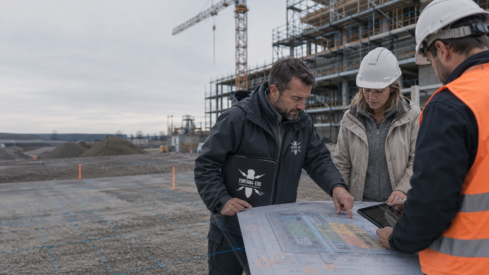
For buyers and due diligence teams, FONTANA-EOD checks which parts of the property and depths existing explosive ordnance reports actually cover. The documents are compared with your construction project or the use options considered; missing appendices and outstanding survey questions remain assigned to the affected area. Send the property boundary, planning stage and complete reports with appendices to coordinate the review.
Bring original documents and appendices together.
Assign results on the site plan.
Request missing plans and explanations.
State whether a single property, several subareas or a particular construction phase is to be assessed. Also record which use and groundworks are relevant to the decision. Where planning remains open, the options considered should remain identifiable. This establishes the areas and ground interventions for which documents are being reviewed.

The technical review begins by assigning available documents to the areas considered. Multiple properties or options remain distinguishable. The planned use and possible groundworks are identified. The specialist contribution can then relate to a specific task.
Assign property areas and documents traceablyHistorical indications, surveys carried out and later assessments are read according to their respective subjects. The technical review describes what is actually evidenced. Missing information remains visible. The summary identifies this evidenced spatial and technical scope.
Distinguish the state of knowledge using the documentationThe ground interventions considered are compared with the spatial scope of older surveys. Different depths or additional areas are assigned separately. Previous documentation is retained. The specialist contractor can identify which questions remain open for the new use.
Compare new construction intentions with existing reports
If the comparison identifies gaps, they are formulated according to the planned works and available findings. The next specialist tasks are coordinated in relation to them. Commercial and legal assessments are carried out by the respective appointed parties according to their own review subjects.
Select services for additional investigationsThe technical document review relates to the property considered and its intended use. Planning that remains open is identified as such; it is not replaced by an assumed later development.
If the project is already described spatially, existing reports can be compared with the planned ground interventions. These include not only building footprints but also foundations, retaining structures, utilities and further groundworks. A report may cover one of these tasks while leaving another open. For the transaction, a traceable account shows which technical questions have already been answered and where the plan extends beyond the documented survey.
A planned excavation pit may lie within a documented survey volume while its connecting trench extends beyond it. The technical review assigns existing results to these interventions individually. Working volumes and ancillary areas are also considered with their intended depths. The property decision then has a specific definition: which results apply to the current plan, which details still need explanation and which area requires an additional survey. This assignment is passed on with the design used and the corresponding report plans.
Assign planned ground interventions to specialist servicesDocuments may differ considerably within a property portfolio. One subarea may have a comprehensive report while another has only a historical assessment. These states of knowledge are recorded separately. Common ownership or spatial proximity does not make them equivalent. An overview helps the buyer assign follow-up questions to the right property rather than infer findings for the entire portfolio from a well-documented area.
For assignment, the current property designation, previous site names and identifiers in report plans are brought together. If subareas have been divided or merged since the survey, the documented survey volume is compared with today's boundaries. A report may concern several current property sections or cover only part of a larger site. Missing plan appendices are requested specifically from the seller or report author. Each outstanding question is linked to the affected property section so that a subsequently provided answer can be assigned to the correct part of the data room.
Document different subareas separatelyAs long as the later use is undecided, the documented survey status can first be assessed. This identifies which findings can be understood independently of a particular plan and which can only be compared once ground interventions are defined. For later construction planning, the survey status is compared with the option then selected. Identify the options considered where available. The result then remains bound to the question actually asked.
Available sketches and the respective plan version are provided for the use options considered. Defined areas and depths remain distinguishable from planning assumptions still to be confirmed. This shows whether a technical question can already be answered in the same way for the options considered or should only be addressed after selection. As planning becomes more detailed, the actual ground interventions are compared again with existing documentation. The handover includes the option used as the basis and its outstanding tasks so that later planning can build on the same findings.
Present the technical state of knowledge for decisionsBefore a report is summarised, its listed appendices should be available. Spatial findings in particular are often in the plan rather than solely in the concluding text. Therefore check whether the report and maps belong together. An excerpt may help with initial orientation but remains an excerpt. If an essential appendix is missing, the findings dependent on it are limited and the document is specifically requested.
Different wording may reflect different survey tasks. First compare the spatial scope, timing and method used. An older report on one subarea may remain relevant alongside a newer report on another section. If there is an actual contradiction, a specialist explanation is requested. The assignment, area actually surveyed and corresponding results are decisive.
If a question about the intended ground intervention remains open, first describe which information is needed. This may be a missing appendix, an explanation of an elevation or an additional survey area. The appropriate addition follows from this. A new survey is not automatically necessary for every transaction. Conversely, another document review does not replace field findings that are genuinely missing when they are needed for the specific task.
Create an inventory with document designation, author, date, version and corresponding appendices. Retain original files and identify supplementary summaries. Identify excerpts as such and list the missing parts. Even after renaming, the issuer and the original reason for the survey must remain identifiable.
Link each result with the area actually worked on and documented depths. Take account of changed property boundaries or different plan versions. An address is often too imprecise for this. If a result cannot be assigned to a clear area, this assignment must be clarified. A general summary is insufficient.
If two documents identify different areas or results, first record their respective statements separately. Ask about the corresponding assignment, appendices and any later additions. The specialist review can then assess whether an actual contradiction exists or different tasks were described. Do not simply choose the more favourable statement.
Retain report titles, authors, dates and original appendix designations. A new filename may help with filing but should not conceal provenance. Identify summaries, translations and excerpts as such. If a technical question arises later, the statement concerned must remain locatable in the original document. A folder name such as “Clearances” alone does not establish which types of documents it contains or which survey scope they evidence.
A current cadastral parcel may have been formed from earlier subareas or have different boundaries from those at the time of the survey. The documented areas are therefore compared with the current property boundary. An address can only provide an initial reference. Readable plans showing the relevant boundaries are needed. Provide existing information about previous boundaries insofar as required for this assignment. Missing or unclear boundaries are identified rather than added to a drawing on the basis of assumptions.
For a technical review where construction plans remain open, the use or ground intervention option considered matters. State whether underground parking, utilities or other deep structures are already intended or only being discussed as possibilities. The specialist response then distinguishes the existing survey status from tasks still to be defined. If plans change later, these details can be used to check which findings still apply and which require reassessment.
An existing report on a utility may contain important information for the property review. It is considered with the utility route and documented depths. If a building is later planned elsewhere, it must be checked whether its intervention volume is covered at all. The report remains relevant even if it does not cover every new construction activity. The summary therefore identifies its usable contribution and the outstanding question separately. This gives the buyer specific technical information rather than a general acceptance or rejection of the entire set of documents.
A colour-coded depiction can only be understood together with its legend and underlying report. A marking may indicate a surveyed area, an area of suspected ordnance or merely a planned section. The evaluation therefore checks what the map actually represents. If copies are insufficiently readable, the original version is requested. A colour code alone is not adopted as a result. The technical summary explains which findings the corresponding documentation supports and which area they relate to.
Describe which document or explanation is missing and why it is needed. Asking for the plan appendix to a named report is more precise than requesting a general confirmation for the whole property. Identify a contact for the question. File the answer with the corresponding report or plan. Existing historical findings and aerial photograph assessments are considered with their respective spatial references. If historical questions remain open, supplementary records of site use are researched and suitable wartime aerial photographs are assessed where available. The findings and limits of the assessment are assigned to the ground intervention now planned.
If the information is insufficient, first identify which question about the planned ground intervention remains unanswered. Then a check is made which supplementary survey is suitable. Access, current use and planned interventions must be communicated. The survey scope is defined for the specific property and project.
If the comparison identifies additional survey requirements, area, intervention depth, ground composition and metallic interference are checked. The measurement grid and borehole points where applicable follow the ground volume required. Access, existing utilities, authority conditions and surveys before preparatory ground interventions are coordinated before execution.
The survey takes place in the agreed property area. Measurement data and findings receive location, elevation and depth references and are assigned to the plan considered. Restricted measurement conditions or inaccessible subareas are recorded for later assessment.
The specialist contractor assesses measurement data and findings and documents the evidenced conclusions for the project. Outstanding areas and required follow-up measures remain separately identifiable. Where explosive ordnance is recovered, the clearance record states its location, depth and the result. The report and plans supplement the data room with their actual survey scope.
Compile the reviewed document version with its outstanding points and answers provided subsequently. Identify the date and project used as the basis. If the project changes later, a check is needed whether previous results still cover the new areas and ground interventions. Later findings should remain traceable as additions rather than displace older versions without explanation.
Historical documents and aerial photographic assessments address different survey questions from technical measurements on site. The BFR KMR treat historical investigation as a separate phase. Therefore record whether a statement is based on historical sources or a site survey. The designation “assessment” alone establishes neither a measurement scope nor completed clearance.
Read the measurement report to see which task was surveyed, which method was used and which areas and depths were covered. Unsurveyed areas or limited interpretability must not disappear from a summary. Technically outstanding areas remain outstanding even if results are available for other parts of the property. The responsible specialists may need to explain what is still missing for the planned ground intervention.
Keep evidenced findings, specialist assessments and assumptions still to be confirmed separate. Give the source for each statement and explain what it means for the planned project. For the explanatory report on the clearance concept, the BFR KMR require facts and interpretations to be separated and remaining assumptions and uncertainties to be identified traceably. This also allows the data room to show what was surveyed and what still needs confirmation. The report names its author and the commissioned survey or planning scope.
Historical information can describe the origins of a suspicion and previous site uses. For the transaction, the area considered and the conclusion supported by the assessment are explained. A historical suspicion must be distinguished from an identified object. Nor does a document heading establish whether a technical survey has already taken place. The type of source remains visible in the summary.
For a measurement report, the method, survey area and conditions are read together. A technical anomaly requires specialist interpretation; it does not automatically designate a particular object. If installations or other conditions limited the interpretability of areas, this limitation belongs to the findings. The recipient should be able to recognise what was measured and what further work, if any, was still intended. Magnetometry records magnetic anomalies; TDEM records time-dependent electromagnetic responses from electrically conductive bodies. Under suitable ground conditions, ground-penetrating radar can provide additional information about structures and strata boundaries. Highly conductive soils may limit its range. Measurement coverage and existing interference are recorded for evaluation.
Subsequent surveys or clearance works are linked to the original finding. The affected points or areas must be clearly assigned for this. Completed work on one area may resolve an earlier outstanding question but does not automatically extend the findings to other parts of the property. The technical property review therefore describes the status reached for each relevant section. Where recovery has taken place, a clearance record documents location, depth and the result. It is kept with the finding that prompted the work and the corresponding spatial appendices.
For a deeper ground intervention, a check is made whether a supplementary deep-ground or downhole survey is suitable. Starting elevation, structural path and final depth are compared with the survey volume required. The measurement grid, borehole points and surveys required before drilling follow the task and local conditions.
Where technically suitable conditions apply, preparatory excavation can be investigated through technical surveying and controlled layer-by-layer excavation. Each working level is technically surveyed and assessed before excavation; visual inspection supplements the method. Work sections, the stop signal, authority to issue instructions, reporting procedures and documentation are agreed before work begins. The survey is repeated down to the agreed excavation base.
FONTANA-EOD reviews the agreed explosive ordnance questions using existing reports and the plan described. The evaluation should make clear which information comes directly from the documents and which specialist conclusion is drawn for the project considered. Assumptions still to be confirmed are not presented as surveys carried out.
For the buyer, a traceable account is more important than an apparently definitive overall designation. A limited survey can be very useful if its scope fits the planned work. Conversely, a large data room may still contain significant gaps. The number of files therefore does not replace a specialist comparison of content, area and ground intervention.
Answers provided subsequently are recorded with their relationship to the original question. The review status therefore remains traceable even after a lengthy transaction process. A later planning change is compared with previous results; it is neither automatically treated as unproblematic nor indiscriminately considered to require a completely new survey.
If the summary is to be passed to other parties, provide the corresponding appendices or identify their clear location in the data room. A statement about a limited area should remain spatially limited even in an abbreviated version. For further steps, record who can obtain the missing information and which technical question then remains to be answered. This helps with the handover between transaction planning and construction planning.
The question and affected area are defined before work begins.
The reports and planning versions used remain traceable.
The answer identifies its scope and the specialist questions still unresolved.
They provide available documents in a traceable form and identify known gaps. Assignment to the respective author or project helps with questions. The technical review can then access existing original documents and explanations specifically.
They describe the intended use and ground interventions relevant to the decision. If several options are considered, these remain separate. Explosive ordnance documents relate to this described requirement rather than unlimited future use of the site.
The appointed explosive ordnance specialist contractor explains the documented survey status and possible supplementary tasks. The purchase agreement, liability, property value and commercial decision are handled by the specialists responsible for them. Even when used further in this way, the technical findings remain bound to their scope.
In Germany, the explosive ordnance disposal services of the federal states and locally responsible authorities undertake hazard prevention and the handling of ordnance finds. Their involvement and the tasks of the public order authority and, where applicable, building control are clarified for the project location. Outside Germany, local responsibilities apply. Contacts, authority conditions and reporting procedures are assigned to the affected property area and construction project.
Where document review leads to actual ordnance work in Germany, authorisation, competence and responsibility under the Explosives Act are related to the specific activity. The 1. SprengV includes requirements for specialist competence. The technical investigation commission is described separately and coordinated with the evidence required. § 7 SprengG concerns commercial authorisation for activities requiring it; § 20 SprengG concerns responsible persons’ certificates of competence. Under § 1b SprengG, searching for found munitions also constitutes handling.
When preparing actual work, DGUV Information 201-027 supports risk assessment and the selection of protective measures for ordnance clearance. DGUV Rule 113-003 addresses dismantling or destroying explosives or corresponding objects and disposing of found munitions, and is considered for applicable activities.
The BFR KMR provide technical foundations for investigation, planning and documentation. Their binding scope covers the federal properties specified there; application to other projects is agreed with the responsible parties. Site-specific authority requirements remain decisive.
If a possible ordnance item is found, stop work at the find location immediately. Do not touch, move or uncover it further. Leave the immediate area, keep your distance and keep others away without putting yourself at risk. In Germany, call the police immediately on 110; outside Germany, use the local emergency procedure. Further hazard response and involvement of the responsible ordnance disposal service follow local procedures and official instructions.
The results identify the document questions addressed, ground volumes actually surveyed and specialist tasks still outstanding. For supplementary surveys, the affected areas, depths and findings needed are described separately.
A technical gap should be formulated specifically enough for the next parties to work with it. Identify the missing appendix, unclear area or additional ground intervention. The contractual arrangement resulting from this is decided during the legal and commercial work on the transaction.
For the technical assessment, the current property plan and surveyed areas are compared. The planned use and options still open remain identifiable.

A survey cart on open ground with soil stockpiles in the background. For the property review, the subareas considered and existing reports are clearly assigned.
Submit property documents for review

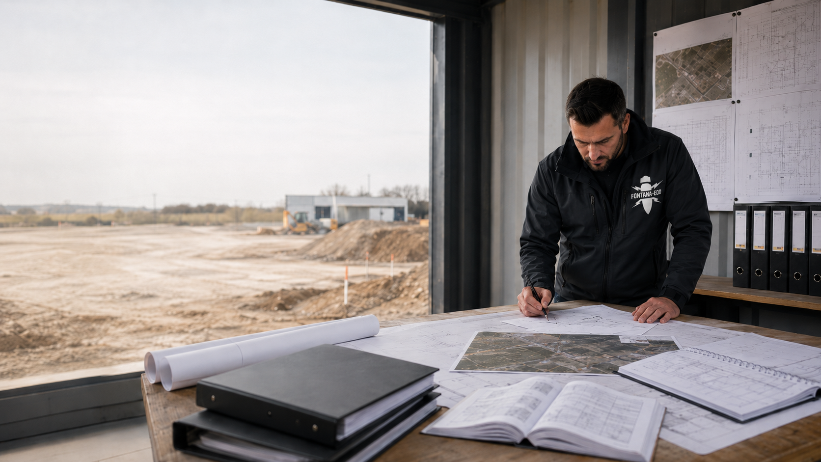
A clear summary helps project management and the buyer: what is evidenced, which question remains open and which next specialist step is intended to address it? Each statement should refer to the relevant report or plan. Colour coding alone replaces neither an explanation of a finding nor its spatial assignment.
The summary identifies reviewed documents, ground volumes actually surveyed and outstanding tasks separately. The results help the buyer recognise unresolved explosive ordnance questions before making a decision. The purchase decision and legal review of the transaction remain independent tasks.
Technical sources: BFR KMR: clearance planning with a clearance concept – introduction · BFR KMR: geophysics · BFR KMR: documentation · BFR KMR: historical investigation · BFR KMR: explanatory report
The Baufachliche Richtlinien Kampfmittelräumung contain requirements for investigation, assessment, planning and documentation within their defined federal remit. Their application to the specific project, together with locally applicable requirements and responsibilities, is clarified for each project.
Send the affected areas, planned uses and available reports. Options still open remain identifiable. FONTANA-EOD can relate its technical contribution to this information. Other questions in the property review are assigned to the specialists responsible for them.
The technical response identifies the documents used and the area surveyed. Missing baseline information is explicitly assigned. Recipients can then recognise which findings are available for their further review. The conditions of the original reports remain part of the handover.
If a different use or new design is considered, the additional ground intervention is compared with the previous status. Earlier results remain traceable. Additions relate to the new question. An earlier technical assessment is not silently transferred to all options.

State the location and properties or subareas considered. Add the contact for existing surveys. The regional overview supports orientation. The technical scope follows the specific areas, intended ground interventions and available evidence.
Reports are provided together with maps and plan versions. Statements about neighbouring areas remain distinguishable from documents for the area considered. The responsible parties clarify outstanding requirements. The technical contribution can be traced back to this documented status.
The explosive ordnance assessment compares existing results with the intended project and identifies outstanding survey questions. Property value, the purchase agreement, liability, commercial viability and other acquisition risks are assessed by the specialists appointed for them. They can use the explosive ordnance reports for their respective tasks; the technical limits of those reports remain in place.
The explosive ordnance assessment addresses the agreed technical task and its spatial reference. Other specialists address their respective legal or commercial questions. The project organisation keeps these contributions distinguishable. The underlying documents remain available together with the technical limits of the findings.
Explore results and terminologyA new design may affect different areas or depths. The option considered is therefore compared with the existing survey status. Results already evidenced are retained. Further questions are assigned specifically to the new plan and its ground interventions.
Assign planning options to the survey statusThe report, appendices and technical response are kept available together. The status considered can then be traced during later execution planning. Changed works are compared again. A property decision does not replace this specific comparison for the ground intervention.
Explore results and terminologyTechnical information
Which documents help assess a construction project’s ordnance risks? The brochure explains investigation results, their limitations and the importance of traceable documentation.

The reports should be available in full with their appendices and assigned to the review task. Only the specialist comparison establishes which property sections, ground interventions and questions are actually covered.
Identify missing parts and request them specifically. As long as essential appendices or explanations are missing, any findings dependent on them remain limited; they should not be passed on as conclusively reviewed.
The existing state of knowledge and the specific question are decisive. Supplementary survey requirements are derived from the technical gaps identified.
If an unexpected suspicious object is found, stop work in the affected area immediately. Do not touch, move or uncover it further. Leave the immediate area, keep your distance and keep others away without putting yourself at risk. In Germany, call the police immediately on 110; outside Germany, use the local emergency procedure. The competent authorities determine the next steps. Inform site management and the client; internal notification must not delay the emergency call.
The property boundary, intended use, planned groundworks and an inventory of existing documents are helpful. State which specific decision or outstanding technical question this should prepare for. Costs and the sequence depend on the completeness and readability of reports and plans, the number of properties affected and the need for specialist clarification. For supplementary fieldwork, area, intervention depth, ground composition, interference, access, evaluation and documentation determine the scope of services.
Current property boundaries are compared with the documented survey areas. The relevant old and current plans are needed for this. A new cadastral parcel number alone neither extends nor invalidates the earlier survey scope.
This can only be determined from the legend and corresponding report. A colour may represent different circumstances. For the specialist assessment, the meaning of the marking is clarified and linked to the documented survey status.
The existing survey status can first be assessed. Statements about future ground interventions require the use or construction options considered to be described. Later changes are compared with the previous result.
Identify the property or subareas and describe the intended use. Include specific ground intervention plans where already available. State planned intervention depths, construction windows and known authority conditions.
Send a document inventory with the complete reports and appendices. Identify known gaps and the technical question to be clarified before the decision. Name the contact for follow-up questions and known access restrictions.
Check supplementary survey requirements Coordinate surveying alongside construction Clarify investigation of findings and recovery Assess project areas
If a decision is due by a fixed date, communicate it. The specialist work clarifies which findings are possible with the documents currently available. Missing surveys are not anticipated as completed. Initial feedback may describe further requirements while a final conclusion depends on an addition still outstanding. Therefore agree not only the date but also the actual content of the response expected. This avoids confusing a provisional assessment with completed fieldwork.
Plans should be readable, with their legend, scale and appendix designation. If a text refers to a particular map, that exact version is needed. Wherever possible, provide the complete file rather than only a cropped image. If filenames differ, retain the original document designation in the inventory. Questions can then refer specifically to the right report.
Whether historical aerial photograph analysis, explosive ordnance surveying, surface surveying using GPR, magnetometry or TDEM, deep-ground surveys, downhole surveys, excavation supervision, area clearance or ordnance recovery is needed depends on the location, ground disturbance, depth, ground and existing documents. An early ordnance assessment provides clarity for tendering, programming, occupational safety and construction.
FONTANA-EOD combines its Section 7 SprengG licence, specialists holding Section 20 SprengG certificates of competence, suitable survey and clearance methods, and traceable documentation. Send the site plan, depth of ground disturbance, construction phase and existing documents for an initial technical assessment.


