Project pathway
The quickest route to the right decision.

Before land development, tendering, drilling or excavation, clients and planners need a traceable assessment of possible historical ordnance indications. FONTANA-EOD analyses aerial photographs from different dates, maps and archive documents for the present-day project area. Send the site plan, planned interventions and existing information so that the research scope, mapping and recommendation for further investigation can be defined.
Bring aerial photographs and documents together.
Assess findings in space and time.
Prepare surveys and evidence.
Historical aerial photograph analysis examines which indications from aerial photographs, maps and records are relevant to the present-day project area. It delineates possible suspect areas and makes source gaps visible.
Together with the planned ground intervention, the assessment provides the basis for deciding on further investigations.
The current site plan and planned groundworks define the spatial scope of the analysis. Available historical documents are assigned to this area. The assessment describes substantiated knowledge and identifiable source gaps. It is considered together with the current proposal.
Identify the appropriate follow-on service
Previous uses and alterations may be relevant to a current construction task. The enquiry identifies the areas and interventions concerned. Existing reports are supplied with their respective subject matter. The analysis separates documented knowledge from unanswered questions.
Place the alteration in its project context
The planned route is supplied with its individual sections and intended groundworks. Differences in available sources remain identifiable. The assessment can therefore be assigned to each section. A shared project name does not replace spatial differentiation.
Relate route sections and evidenceAn extended construction section is compared with the previous investigation area. The original assessment is retained. Additional areas and different interventions are described as a separate question. Further requirements are agreed with reference to the change and available sources.
Describe the changed planning scopeThe project purpose, land use and intended ground intervention determine which historical sources are needed and the required depth of assessment.
Historical aerial photograph analysis is useful where no reliable assessment of possible ordnance contamination is available for a property, route or construction site and future ground interventions are being prepared. It reconstructs air-war impacts, military uses and other ordnance-related events using aerial photographs from successive dates, maps, records and existing knowledge.
Before acquisition, change of use or land-use planning, historical investigation provides an early assessment of property risk. It evaluates the project boundary, previous use, visible wartime impacts, known finds and the conclusions of existing statements.
The results support site selection, due diligence and further budgeting without anticipating the outcome of a subsequent technical assessment.
Have a property assessedRoads, railway lines, cable corridors and pipelines often cross areas with different historical uses. The assessment therefore considers not just one point but the entire route, including crossings, working strips, structures and planned depths.
The analysis helps divide sections spatially according to their different assessment needs for planning and procurement.
Select the project contextDense development, repeated alterations and changing property boundaries make it harder to transfer historical findings. Old streets, demolished buildings, war damage and later fill are therefore compared with current cadastral and planning data.
The result shows which parts need separate consideration for future interventions despite existing development.
Identify the region and project locationFormer barracks, airfields, production sites, storage areas and transshipment facilities may have different contamination histories. Air raids are only one possible factor; routine military operations, ammunition storage, destruction or ground combat may also be relevant.
Research is tailored to the site history and future use.
Submit the historical backgroundExisting information often includes spatial restrictions, older map versions or recommendations for additional measures. FONTANA-EOD checks which area and state of knowledge the documents actually cover.
Contradictions, missing annexes and conclusions that cannot be transferred are identified before they are incorporated into tenders or construction planning.
Have the documents assessed by specialistsFor several properties or long-term land management, a staged historical assessment can establish priorities. The reason for assessment, use and available data are first recorded for each site; areas requiring more clarification are then investigated in greater detail.
This provides a traceable basis for investment planning, risk communication and later individual projects.
View sectors and applicationsThe analysis should do more than identify a suspicion: it should provide a clear, spatially limited basis for the next planning or construction step.
The result is not a technical search of the ground. It describes which historical indications are relevant to the present-day project area, how reliably they can be located, and where data gaps or visibility restrictions remain. This provides a technical basis for suspect areas, investigation priorities and suitable follow-on services.
Initial situation: The location and intended use are known, but historical contamination remains unclear.
Required outcome: Relevant sources, possible contamination origins and spatially substantiated suspect areas are presented so that further planning can be prioritised.
Initial situation: The construction site, route or structure locations are available as planning geometry.
Required outcome: Historical findings are overlaid with the planned intervention; unresolved areas and necessary technical assessments are identified for the project.
Initial situation: Ordnance assessment services are to be tendered on a comparable basis.
Required outcome: The investigation area, available data, suspect zones, follow-up assessment objective and required documentation are specified so that providers price the same task.
Initial situation: Geotechnical boreholes, piles, sheet piles, anchors or other deep ground interventions are planned.
Required outcome: Historical indications are related to point locations and the ground volume affected by the works; this determines whether a deep-ground or downhole survey needs to be prepared.
Initial situation: Infrastructure development, demolition, utility trenches or excavations affect larger contiguous areas.
Required outcome: Historical assessment delineates priority areas and establishes the framework for surface surveys, supplementary deep-ground investigation or measures accompanying construction.
Initial situation: The construction area, intervention depth or structure geometry changes after the analysis is completed.
Required outcome: The new design is compared with the historical findings. Only areas actually assessed remain covered by the previous conclusions.
Historical investigation does not automatically determine the technical method. It establishes the spatial and technical grounds for examining the target object, depth, ground, interference environment and construction sequence at the next stage.
Clients, planning consultants and public contracting authorities gain a basis for targeted planning of tenders, drilling points, development sections, survey areas or measures accompanying construction. Whether a technical survey is required is decided on the basis of the historical assessment, available sources and planned intervention.
If area clearance is necessary after the findings have been clarified, the clearance objective, working boundary, depth, access and protective measures are defined. Findings and clearance records document the actual work and remaining restrictions. The historical suspect-area map provides the starting point; it does not replace this evidence of execution.

Photographs from several dates are compared with each other and with archive sources. Sequences of events, terrain changes and possible contamination origins can therefore be assessed more clearly than from a single image date.
The source list, image dates, description of findings and map connect historical observations with the present-day project area. Gaps in time, restricted visibility and spatial uncertainties remain part of the assessment. They determine the extent of recommendations for a follow-up technical assessment.
Request a historical assessment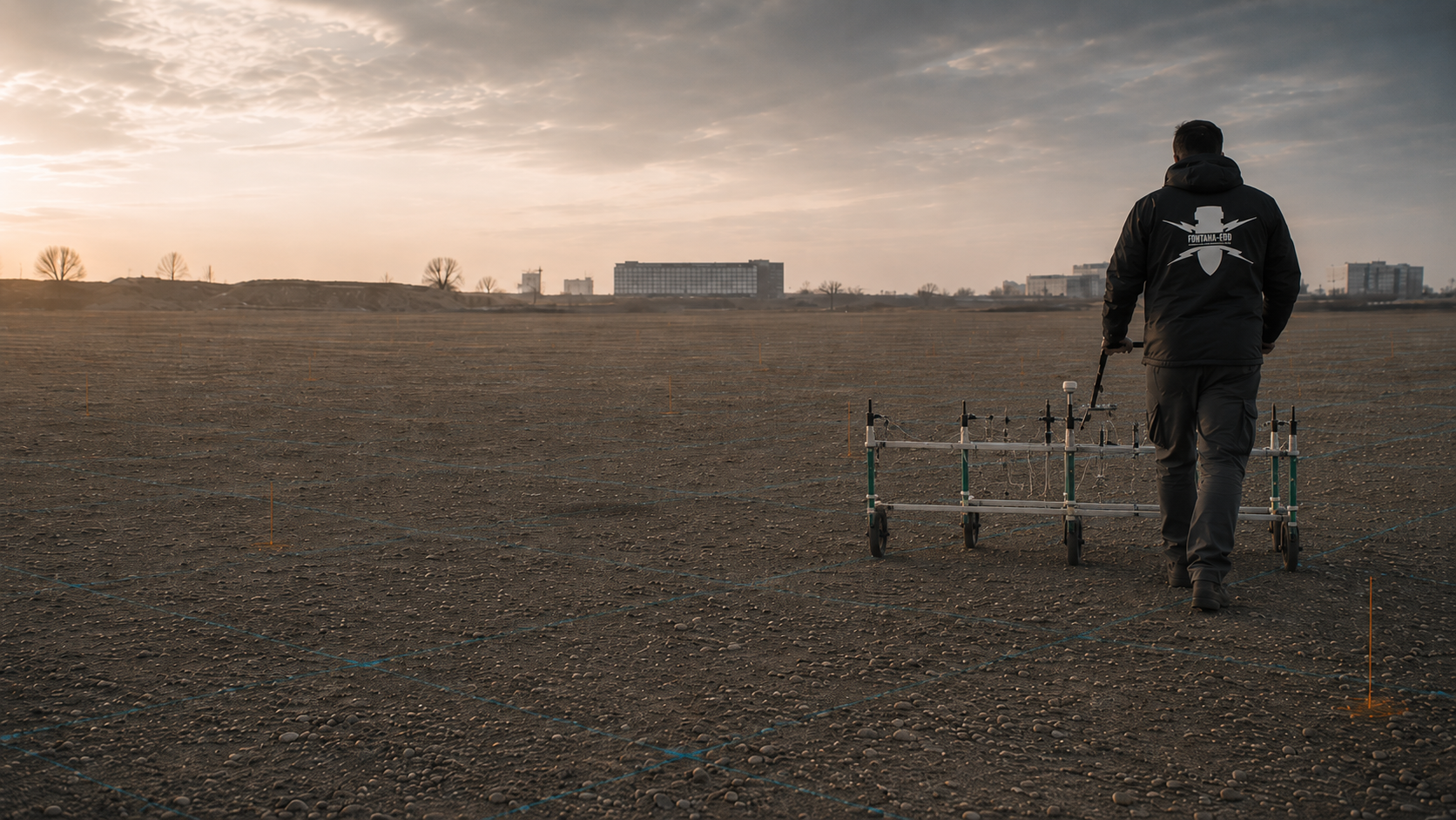
For ferromagnetic targets and a suitable measurement environment, magnetometry can investigate suspect areas across a site. Steel, reinforcement, utilities and scrap may restrict the conclusions and must be considered during planning.
Survey lines, sensor configuration and magnetic anomalies are documented with their spatial reference and known interference zones. The interpretation distinguishes measurable anomalies, masked areas and omitted ground. Target points for further investigation are supplied with these restrictions.
Request a technical assessment of magnetometry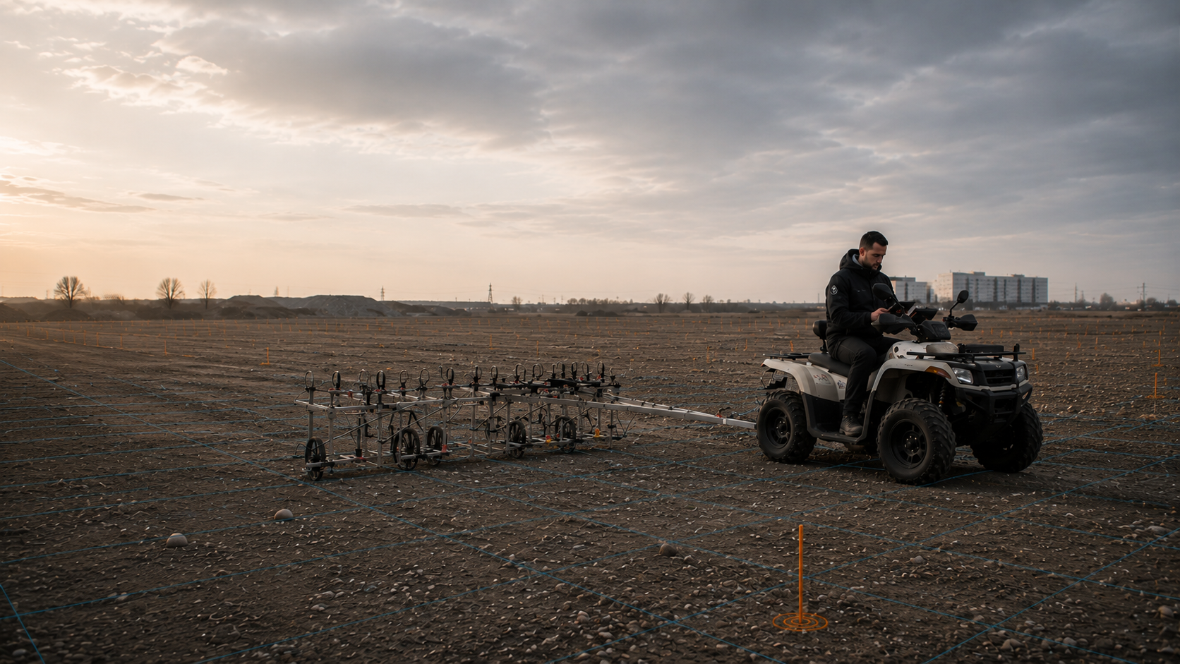
TDEM records the electromagnetic responses of conductive bodies and may provide a complementary or alternative method where object and interference conditions are suitable. Coil geometry, surface condition and technical installations affect interpretation.
Coil configuration, measurement height, acquisition parameters and positional data are linked to the evaluated electromagnetic responses. The report and site plan identify anomalies, interference and the area actually surveyed. Attributing a response to an object may require further assessment.
Understand TDEM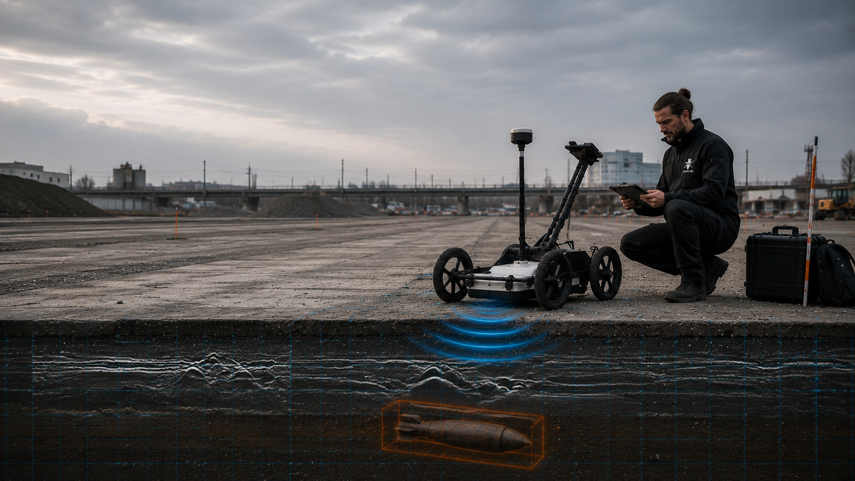
Ground penetrating radar provides structural information about layers, installations and subsurface contrasts. It can support project assessment, but a general radar reflection alone does not prove the presence of ordnance beyond doubt.
Radar profiles, profile direction, positional reference and usable depth range are supplied together with the evaluated structures. Conductive or wet ground and metal installations may severely limit the conclusions. Unclear reflections remain identifiable as unresolved findings.
Consider ground penetrating radar
Where the planned working volume lies well below the range that can be surveyed near the surface, assessment is aligned with the drilling point, axis, target depth and safety envelope. Historical indications help prioritise deep-ground assessment appropriately.
Coordinates, drilling and survey geometry, intended and achieved assessment depth, and restrictions are documented for each point. Conclusions remain limited to the volume actually investigated. Utilities, casing and positional deviations are considered in the specialist assessment.
Assess depths and borehole locations
Existing structures, fill and dense utility networks may restrict advance surveys. Ordnance surveying during construction may be appropriate if it can adequately investigate the actual working volume. Technical surveying and the specialist decision take place before each removal of soil. The defined layer is then excavated under additional visual observation. This sequence is repeated to the planned excavation base.
Layer and section records connect the technical assessment, specialist decision and completed soil removal. Findings, stop points and insufficiently investigated areas remain linked to their construction state. Conclusions cover only the volume actually worked.
Identify the role of excavation supervisionAerial photographs are historical snapshots. Meaningful conclusions require appropriate image selection, specialist orientation, chronological comparison and comparison with other sources. A sound assessment therefore identifies not only findings but also the limits of the available material.
For tendering, it should also be clear whether the required work covers selected image dates only or wider research including a site history, map set and specialist recommendation. Otherwise, different scopes produce results that cannot be compared directly in either detail or conclusions.
The construction area, route corridor, drilling points and planned interventions are supplied in a current coordinate system. Only then can historical findings that actually intersect the proposal be identified.
Images taken before, between and after relevant events improve traceability. Gaps in the flight sequence are identified and supplemented by other sources only to the extent justified by those sources.
Clouds, smoke, shadows, vegetation, snow, image blur, high flight altitude or missing overlap may obscure details. These restrictions are taken into account when evaluating findings and the reliability of conclusions.
Historical images are located using suitable control points, maps and current geographical data. Remaining positional uncertainties are not concealed by apparently exact point locations.
Archive records, historical maps, site histories, previous clearance and known finds help interpret visible image features. An isolated image observation does not replace this context.
The source list, mapping reference, description of findings, uncertainties, suspect areas and recommendations are documented so that planning and subsequent specialist services can reuse the assessment.
The report must show the basis of the assessment, how the present-day project area was linked to historical information, and which conclusions can be justified technically for the planned intervention.
Digital map data, written assessment and source list are coordinated. Later planning can therefore trace each finding to its source and understand the spatial uncertainty that must be considered in the follow-up technical assessment.
Where technical surveying, exposure or clearance follows, its measurement data, survey results, findings assessments and clearance records are linked to the initial historical assessment. Statements about depths actually investigated and areas worked derive from these execution records. The report and suspect-area map alone do not prove clearance.
The reason for assessment, project status, investigation boundary, intended use and available documents are recorded clearly. This makes it possible to identify the question for which the analysis was prepared.
Aerial photographs, maps, records and earlier reports analysed are documented with their provenance, date and spatial relevance. Unavailable sources and those with limited usability remain identifiable.
Uses and events relevant to suspected ordnance are placed in chronological order. The chronology focuses on reliable project information and separates established knowledge from assumptions.
Historical observations, possible suspect areas, positional uncertainties and current project geometry are brought together in a clear map.
The strength of conclusions is assessed against source coverage, image quality, spatial transferability and consistency. Uncertain areas are not presented as conclusively resolved.
The historical assessment leads to a project-specific recommendation, such as further document research, technical surveying, deep-ground assessment, measures accompanying construction or adjustment of the investigation area.
A reliable project file allows each significant finding to be traced to its source and location. It also provides the starting point for subsequent surveying, clearance and construction services.
For multiphase projects, a larger development area may first be assessed and the assessment then updated for specific construction sections. The historical basis remains consistent while new routes, drilling points and structure locations are compared with the current design.
Aerial photographs, archive records, historical maps, literature, earlier reports and official documents are recorded systematically. Their availability, usability and relevance to the project area are identified.
The project polygon, parcels, routes, current orthophotos and historical imagery are organised within a common spatial reference. Transformation steps remain traceable.
Observed features are documented with their image date, location, description and specialist interpretation. Alternative explanations and visibility restrictions are considered.
Findings, possible contamination origins, planned use and data quality are linked. This produces a reasoned classification of further clarification needs.
The overview plan, findings map, suspect areas, project geometry and any uncertainty areas are supplied at coordinated scales.
The report, maps and digital data are structured for use in tendering, survey planning, construction management and later updates. Subsequent survey and clearance records and related correspondence with authorities are linked through the area reference and plan version. The initial historical assessment and later field findings remain distinguishable.
Additional sources and detailed analyses are selected according to the unresolved question they can answer about land-use history, the sequence of events or spatial delineation of suspected contamination.
The site, area boundary, planned use, intervention depths and required decision are defined at the outset.
Site plans, previous reports, correspondence with authorities, known finds and historical indications are checked for currency and spatial correspondence.
Suitable image dates, maps and other sources are compiled for the relevant period and the surroundings of the project.
Images are located spatially, analysed across different dates and overlaid with current geographical data and project geometry.
Uses, events, possible contamination causes and previous measures are assessed in their chronological and spatial context.
Relevant findings, data gaps and positional uncertainties are mapped and related to the planned intervention.
The available sources are weighed, leading to a reasoned recommendation for technical investigation, planning or further research.
The report, source list, maps, digital data and conclusions are supplied for the project file and follow-on planning.
The core specialist task is not simply to find an image feature. What matters is how reliably that feature can be related to the present-day proposal in time, space and substance.
FONTANA-EOD relates the historical assessment to the specific use and planned intervention. The same historical observation may carry different weight for a shallow landscaped area than for piles, utility trenches, excavations, demolition or deep specialist foundation works.
Historical aerial photographs show conditions at the time of acquisition. Property boundaries, transport routes, watercourses, buildings, terrain surfaces and uses may since have changed several times. A finding is therefore not copied directly onto a current site plan but transferred into present-day space using suitable reference points, map versions and geographical data.
Multitemporal image sequences are checked to establish when a change first becomes visible and how it develops in later images. A crater, damaged building structure, military installation or area of fill thereby gains a chronological context. This is essential for distinguishing wartime features from later earthworks or ordinary use.
Positional accuracy depends on image scale, acquisition geometry, control points, terrain and the quality of historical documents. Where an exact point transfer is not defensible, a spatial uncertainty area is shown. The follow-up technical assessment is then directed at the area that can actually be justified rather than reduced to an apparently exact coordinate.
The historical assessment is then overlaid with the planned intervention. A suspect zone may affect an entire excavation, a route section, individual drilling points or only an edge area. For each intersection, the additional information needed and the method that can provide it are defined.
Even aerial photographs without visible anomalies are assessed in relation to source quality. Missing image dates, visibility restrictions or a land-use history that cannot be reconstructed may prevent sufficient conclusions being drawn from the absence of visible findings. This uncertainty is described explicitly in the report.
After later design changes, the historical data remain usable but must be compared again with the revised geometry. This prevents a report for an earlier site area being applied without review to additional depths, new structures or shifted route sections.
Several image dates show whether a feature arose before, during or after a relevant event. Chronological context reduces misinterpretation.
Control points and suitable map references transfer historical images into a current coordinate system. The accuracy achievable is documented.
Suspect findings are combined with the site area, route, drilling points and intervention depths. This establishes the specific assessment needs of the project.
Where positional accuracy or visibility is limited, a corridor is shown instead of an excessively precise individual point.
Demolition, fill, construction over the site and new infrastructure alter present-day access but do not automatically remove historically suspected contamination.
New plans, additional sources and technical findings are incorporated into the existing assessment without uncontrolled extension of earlier conclusions.
Historical sources describe possible causes and spatially defined suspected contamination. Geophysical methods and those involving ground intervention instead investigate present-day ground. The two complement each other but provide different kinds of evidence.
Answers: Which historical events and uses may justify suspected ordnance, and where relevant areas are located.
Limitation: It does not technically demonstrate an object currently present in the ground.
Answers: Where ferromagnetic anomalies can be measured in an accessible area with sufficiently low interference.
Limitation: Steel, reinforcement, utilities and scrap can mask the responses of individual objects.
Answers: Which electromagnetic responses conductive bodies produce under the chosen survey geometry.
Limitation: Technical installations, object size, depth and coil arrangement limit attribution.
Answers: Which structural or dielectric anomalies are identifiable in suitable ground.
Limitation: A radar reflection does not automatically prove ordnance.
Answers: Which relevant signals occur within the defined point location and depth volume of a subsequent intervention.
Limitation: Conclusions remain limited to the borehole arrangement, measurement interval and working volume surveyed.
Answers: which excavation layers were technically surveyed, assessed by specialists and then removed under additional visual observation. The next layer is assessed again before removal. The suitability of this method and the working volume covered must be established.
Limitation: Areas not supervised, or excavated deeper later, are not covered by the conclusions.
Quality comes from a traceable research strategy, sound georeferencing, competent interpretation and transparent presentation of data gaps. A striking aerial photograph alone is no more sufficient than a general reference to a region’s wartime history.
FONTANA-EOD starts with the actual project question: which area, depth and construction phase should be assessed, and what decision must the report enable? Only then are aerial photographs, archive sources, maps and existing documents selected. This prevents large amounts of historical data being collected without relevance to the planned intervention.
Each significant finding is checked for its source, image date, visibility, positional accuracy and alternative explanation. Aerial photographs are not treated as the sole truth but compared with site history, known finds, earlier clearance work and current geographical data.
The conclusion separates established knowledge, plausible indications and remaining uncertainties. Clients can then decide which technical measures are necessary and where further research or adjustment of the investigation area is appropriate.
The construction area, route, drilling points, intervention depth and intended use guide research and assessment.
Provenance, date of creation, spatial coverage and possible contradictions are considered for each significant source.
Historical findings are presented only as precisely as orientation and image quality can justify technically.
Image sequences help distinguish events, terrain changes and later alterations.
Restricted visibility, data gaps and developments that cannot be reconstructed remain part of the assessment.
The report identifies the next specialist step for planning, tendering or technical investigation.
Historical analysis, official information and technical project assessment may involve different tasks and procedures. Clear roles prevent documents being used beyond their actual scope.
Defines the investigation area, intended use, project phase and required decision. Supplies existing documents and arranges necessary follow-up assessments.
Apply the assessment to the construction area, route, drilling points, specification and construction sequence. Design changes are compared with the historical result.
Researches and assesses historical sources relevant to the project, documents findings and uncertainties, and develops a technically justified recommendation for the next project stage.
Supply historical material, maps, records or existing knowledge. Availability, usage rights and quality may differ between project areas.
Depending on the German state, official information or aerial photograph assessments are requested through different bodies. Private analysis and the official procedure are coordinated.
Use the report, maps and recommendations as a planning basis. Technical execution requires its own service scope, suitable qualifications and clear evidence.
Depending on the project location, the public order authority, KBD, KMBD or KRD are involved in information enquiries, reporting finds and subsequent hazard response. Building control may be involved in the construction approval process. Responsibilities, contacts and existing requirements are clarified for the specific proposal.
Requirements for information, historical assessment and further measures differ by project location and task. Reliable planning requires the specialist report, regional procedure and subsequent technical execution to be compatible.
The German Baufachliche Richtlinien Kampfmittelräumung classify historical investigation as Phase A. Possible causes and the spatial extent of ordnance contamination are reconstructed from different sources, assessed and translated into recommendations for further measures. The BFR KMR apply to federal properties within their defined area of responsibility. Outside that scope, their methodological principles can serve as a structured working aid.
Aerial photograph analysis alone must be distinguished from a more comprehensive reconstruction of site history and contamination origins. The scope and conclusions must therefore be described clearly in the commission: is it an image-based description of the situation, additional archive research, a full historical assessment or already preparation for technical investigation?
Analysis of historical documents does not replace technical investigation or the qualifications it requires. For subsequent execution, company authorisation under § 7 SprengG, certification of responsible persons under § 20 SprengG and the specific scope of activities are checked. The search for found ammunition is already expressly covered by § 1b para. 1 no. 3 letter d SprengG; responsibility does not begin only with exposure or recovery.
The risk assessment for subsequent fieldwork considers the actual intervention, suspected contamination and local working conditions. DGUV Information 201-027, relevant rules and the project-specific organisation of work help align methods, protective measures and communication with the specific assignment.
Historical imagery and archive material may be subject to conditions on use or onward disclosure. The project file therefore specifies which sources may be reproduced in the report, which data are supplied digitally and which evidence is referenced only. Technical traceability and permitted use remain compatible.
The First Ordinance to the German Explosives Act (1. SprengV) includes requirements for specialist knowledge and state-recognised training courses. The necessary qualifications for subsequent technical investigation and clearance are determined separately; historical document analysis is distinct from these activities.
DGUV Regel 113-003 concerns dismantling or destroying explosives and related objects and includes disposal of found ammunition. It is considered for relevant follow-on work; it does not describe the conduct of aerial photograph analysis alone.
The question, investigation area, source types, assessment objective, data formats and report detail are defined clearly before work starts.
Official enquiry and application procedures depend on the German state and local authority responsible. Existing statements are considered with their respective scope.
Technical investigation, clearance and recovery are carried out by suitable companies and responsible specialists within the framework required for each activity.
The report, map set, source list, uncertainties and recommendations provide a verifiable basis for planning and further procurement.
The investigation area, intended use and available information are described so that the historical assessment supports a real project decision.
Suspect areas, target objects and unresolved data gaps are translated into a clear task for surface or deep-ground surveying.
Work in the affected area is stopped immediately. The object is left untouched and unchanged, and the immediate area is vacated. In Germany, the police are called on 110; outside Germany, the local emergency procedure is used. Further measures are coordinated with the competent authorities.
Visible deliverables range from the source overview to the project-specific map set. Each presentation must serve a clear purpose and agree with the written assessment.
Image dates, maps, archive references and current project geometry form the basis of the assessment. Source gaps are documented alongside usable dates.
Request a historical assessment
The report establishes whether further research, surface surveying, deep-ground surveying, excavation supervision or another measure is appropriate to the planned intervention.
Compare servicesFindings, suspect areas, positional uncertainties and project boundaries are shown at clear scales and connected to a traceable conclusion.
Clarify documentationRoutes, industrial sites, municipal construction areas and housing projects have different requirements for spatial scope, intervention depth and later technical assessment.
Select a project type
The project location, German state and existing official information affect data access, application procedures and subsequent communication.
Open the project region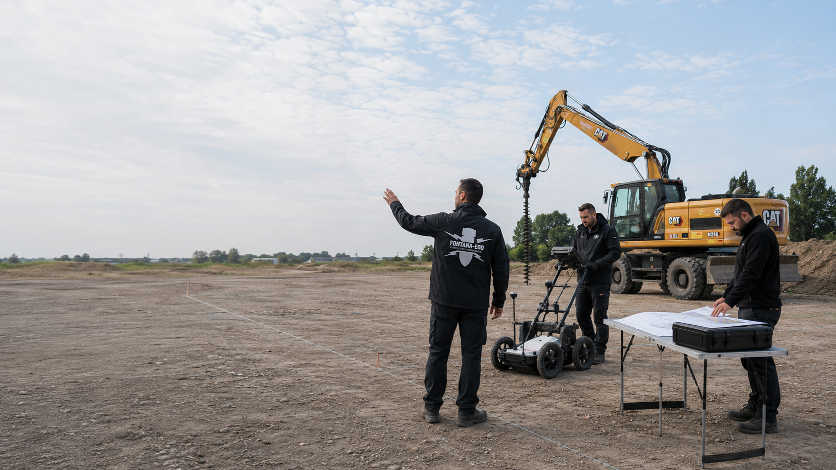
The site plan, parcel, route, drilling points and planning status allow precise commissioning and reduce later queries.
Submit documents
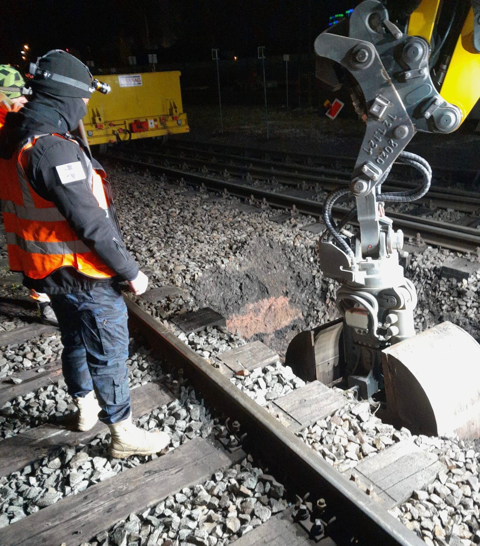
The next investigation depends on project geometry, suspected contamination and required conclusions. A drilling point needs different spatial evidence from a broad excavation or a long route section.
Relate historical assessment, technical surveying, clearance and evidence to the project status.
Select services
Compare ground penetrating radar, magnetometry and TDEM by target object, ground conditions and interference environment.
Survey the surfaceAssess boreholes, piles, sheet piles and other deep interventions by point location and working volume.
Survey at depthProvide specialist supervision of earthworks in areas not fully investigated beforehand or subject to substantial interference.
Supervise excavation
Assess the circumstances of the find, safety area, responsibilities and appropriate specialist follow-up.
Understand recoveryStructure the clearance concept, project sequence, quality control and completion documentation.
Open documentation guidanceRelate historical assessment to rail, civil engineering, energy, industry, municipal, housing and other project types.
Select a project typeSend the location, site plan, intervention, date and existing historical or official documents.
Have your project assessedSend the current site plan, planned interventions and existing reports. Identify open alternatives and the intended use of the analysis. FONTANA-EOD can relate the task to these and identify additional information needed for the work.
Documents are considered according to the information they provide and their relevance to the current project area. Missing or ambiguous information remains identifiable. The assessment is based on these foundations. A source gap is not replaced by a blanket conclusion for the entire site.
The report and maps are supplied together. Project participants can understand the area assessed and unanswered questions. Further investigations are agreed with reference to the specific ground intervention. Design changes remain identifiable as a separate version.
State the location and affected area or route. Add the current site plan and a planning contact. The regional overview provides orientation. For the analysis, the present-day area to which historical knowledge should be related remains decisive.
Send available reports and information with their annexes. Information about neighbouring areas or earlier proposals remains distinguishable. Those responsible clarify outstanding requirements for the current task. The analysis can then make targeted use of existing knowledge.
The assessment is considered alongside the maps and explanations used. This makes the documentary basis of each conclusion traceable. Spatial imprecision and source gaps remain identifiable. An abridged summary does not extend the substantiated conclusions.
Explore results and terminologyCurrent groundworks are compared with the spatial limits of the analysis. Additional areas and changed interventions are identified. Previous documentation is retained. Further specialist questions are agreed with reference to the specific change.
Understand the service scopeThe report, maps and supplementary project information are passed on together. Subsequent specialist planning can understand the existing position. Unresolved investigation questions remain assigned to their respective areas. Later design changes are compared again with this basis.
Explore results and terminologyTechnical information
Historical aerial photographs and other documents help assess a property’s contamination history. The brochure presents the work steps, information required and limits of historical conclusions.

It is particularly useful where no reliable assessment of possible ordnance contamination is available before land development, planning, tendering, drilling or excavation. Older reports, unclear information from authorities, known finds nearby or previous military or war-related use may also prompt an assessment. A clearly defined investigation area and planned ground intervention are essential.
Depending on the task, sources may include historical maps, records, site histories, war-damage documents, previous clearance reports, known finds, information from authorities, current cadastral and geographical data, and existing project reports. The type and extent of research depend on the project area, available sources and required conclusions. Each significant source is documented with its provenance and spatial relevance.
The project boundary, interventions and existing information are checked first. This is followed by image and archive research, comparison of different dates, spatial transfer, assessment of findings, and the report and maps. The chronological sequence helps distinguish wartime features from later earthworks. Official enquiry procedures and private specialist analysis are coordinated for the project location; existing statements are considered with their complete annexes and respective scope.
Historical analysis assesses sources and suspected contamination; it is not a technical investigation of the present-day ground. It can delineate historical indications, document an absence of indications and justify further measures. Its conclusions nevertheless depend on image coverage, visibility, available sources and their applicability to the current project area. Where these foundations are insufficient, further assessment remains necessary.
If a suspicious object is actually discovered independently of the report, work is stopped. The object is left untouched and unchanged; the immediate area is vacated and, in Germany, the police are called on 110. Outside Germany, the local emergency procedure applies. Historical analysis does not replace reporting a find.
The report describes the reason for the assessment, investigation area, project context, sources used, historical site development, identified findings, spatial attribution, data gaps and specialist evaluation. Supplementary maps show project boundaries, findings, possible suspect areas and positional uncertainties. The conclusion explains which further research, technical survey or measure accompanying construction may be appropriate for the planned intervention.
Achievable accuracy depends on acquisition geometry, image scale, control points, terrain and the quality of historical maps. Findings are transferred to a current coordinate system using suitable references. Where an exact point location cannot be justified technically, an uncertainty area is shown. Subsequent technical assessment is then based on the defensible area rather than an apparently exact individual coordinate.
Useful information includes the project address, current site plan, cadastral parcel, construction-site or route boundary, planned intervention depths, construction phase, schedule, existing correspondence with authorities, previous reports, known finds and a brief description of the decision required. For drilling or foundations, point lists and target depths should be included.
Factors include the size and shape of the investigation area, the number and quality of available aerial photograph series, necessary archive and map research, historical complexity, present-day alterations, required report detail, data formats and schedule. Reliable costing therefore requires an unambiguous project polygon, planning status and required conclusions.
The clearer the project area and decision objective, the more precisely suitable image series, maps and archive sources can be selected. Incomplete documents may also be sent; they show which information is still missing.
Where official information already exists, the complete set of annexes and maps should be included. Only then can it be checked whether the area considered, the earlier design and the current intervention geometry actually correspond.
The project address, German state or country, parcel, site plan, construction area, route corridor and any coordinates define the geographical scope of the commission. On large sites, construction sections and priorities should be identifiable.
For linear projects, chainage, working width, structures and crossings are useful. For individual structures, the excavation, foundations and intended extension areas are shown.
Describe whether the assessment is needed for acquisition, land-use planning, design, tendering, ground investigation or immediately before construction. The type and maximum depth of intervention determine the later relevance of historical findings.
Boreholes, piles, sheet piles, utility trenches, demolition and area excavation are identified separately. Changes from previous plan versions should be marked.
Correspondence with authorities, older aerial photograph analyses, contaminated-land and ground reports, previous survey or clearance records, known finds and historical site plans are included as completely as possible.
Contradictory statements and missing annexes are also relevant. They enable a targeted review of existing knowledge.
For an initial review, a current site plan, brief description of the proposal, maximum intervention depth, desired date and existing indications of suspected ordnance are often sufficient. FONTANA-EOD then identifies the additional sources or project information needed for a sound commission.
For procurement, it should also be clear whether the service requires aerial photograph analysis only, supplementary archive research, a wider historical assessment or already a recommendation for technical investigation.
Construction area, route, parcel or drilling points in current, clearly readable geometry.
Planned development, infrastructure, demolition or land development with relevant ground intervention.
Existing information, reports, historical plans, known finds and previous measures.
Basis for acquisition, planning, tendering, technical surveying or construction.
Whether historical aerial photograph analysis, explosive ordnance surveying, surface surveying using GPR, magnetometry or TDEM, deep-ground surveys, downhole surveys, excavation supervision, area clearance or ordnance recovery is needed depends on the location, ground disturbance, depth, ground and existing documents. An early ordnance assessment provides clarity for tendering, programming, occupational safety and construction.
FONTANA-EOD combines its Section 7 SprengG licence, specialists holding Section 20 SprengG certificates of competence, suitable survey and clearance methods, and traceable documentation. Send the site plan, depth of ground disturbance, construction phase and existing documents for an initial technical assessment.


