Project pathway
The quickest route to the right decision.

Where ordnance is suspected before earthworks and the excavation area cannot be adequately investigated beforehand, clients, planners and construction management must define a suitable further procedure. FONTANA-EOD reviews the basis of suspicion, working volume and existing investigations with you. Send the site plan, excavation depths, construction sequence and preliminary investigations so that the suitability and scope of ordnance surveying during construction can be established.
Divide the area, depth and sequence of work.
Work and assess layer by layer.
Document findings and limits.
Ordnance surveying during construction may be considered where a suspect intervention volume cannot be adequately investigated before earthworks begin. Each layer is technically surveyed and assessed by a specialist before being removed under additional visual observation.
The evidence describes the area actually assessed and the prerequisites for the next ground intervention.
Work on track 20 in Plattling began with construction-stage assessments during excavation. The report explains the later change of method and distinguishes the individual work phases. View project details.
For the Pippinstraße project in Aachen, specialist ordnance supervision during construction with technical oversight is documented from September to October 2026. View project details.
Service areas:Ordnance specialist supervision of groundworks
For the TP03 Assmannshausen project, specialist ordnance supervision during construction and surveying are documented from September to October 2026. View project details.
Service areas:Ordnance specialist supervision of groundworksSetting out and marking survey areas
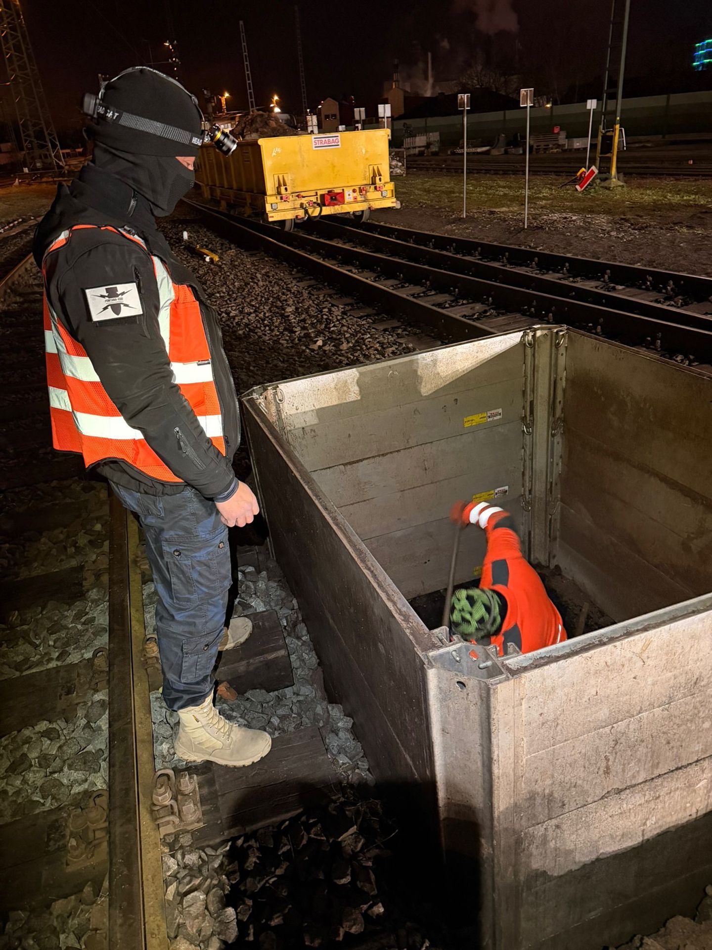
As excavation progresses, accessible areas and the next ground interventions change. Construction management and the specialist company coordinate against the same plan version. The agreed section, areas already investigated and unresolved parts remain distinguishable. A documented result can therefore be related to the construction state actually achieved.
Coordinate the construction sequence together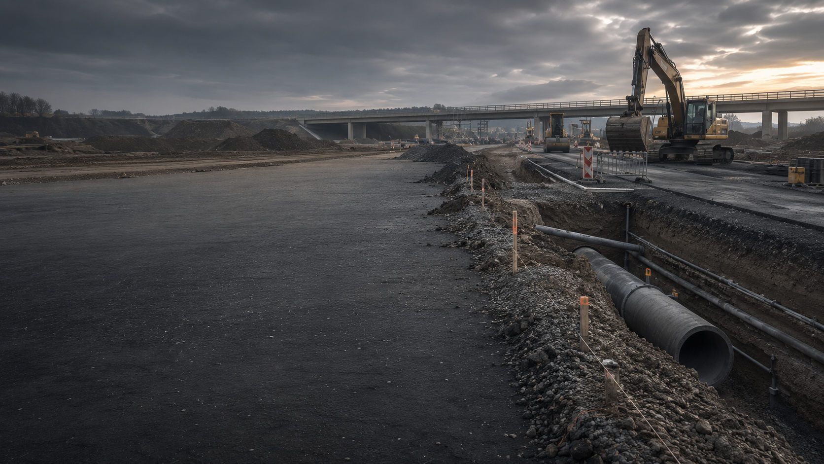
Existing utilities, crossings and available working volumes are part of preparation. Project documents show which information is confirmed and where clarification is still needed. Construction-stage ordnance surveying is coordinated with the intended trench section. Utility information and operating conditions are supplied by the project participants responsible for each area.
Describe the utility trench and working volume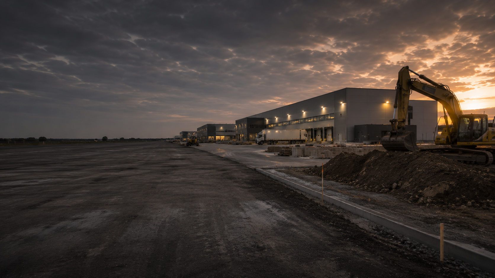
A stage of demolition may expose areas previously covered. This change is compared with the intended ground intervention and existing investigations. The transition from demolition to earthworks is treated as a separate coordination point. Earlier conclusions remain limited to the areas and conditions investigated at the time.
Identify the implications of alterations at an operating site
Contacts and information routes are agreed for earthworks, specialist supervision and other trades. Work planning describes the next section and the documents available for it. Changes reach the responsible participants before the next ground intervention. Individual tasks remain clearly assigned even within a shared programme.
Coordinate handovers and documentsThe supervision needed depends on the intended intervention and site conditions. The working area, depth and investigation method must therefore be established.
Foundations, utilities, reinforcement, scrap and ongoing operations may mask an advance area survey. Assessable excavation bases and subareas often become accessible only after demolition or as excavation progresses.
Supervision is planned section by section and linked to existing survey data. Insufficiently assessed areas remain excluded from further ground intervention until a technically suitable approach has been established.
Assess the preliminary investigationAlong cable, pipeline and drainage routes, ground conditions, utility density and suspected contamination change along the alignment. One approach for the entire route may therefore be too broad.
Chainage, working width, installation depth, crossings and construction sections are structured so that the area supervised remains clearly traceable later.
Assess the route sequenceA near-surface investigation does not necessarily cover the entire later depth of an excavation. Additional layers, shoring, dewatering and changing slopes alter the areas accessible for assessment.
Before work begins, the depths already assessed technically and the excavation bases or margins requiring separate checks during excavation are clarified.
Agree deep-ground assessmentHeterogeneous fill, foundation remnants and reused material create many technical interference sources. Only after controlled demolition can it be established which areas become accessible for further surveying or clearance in layers.
Demolition and ordnance procedures are described separately but coordinated in time. If site conditions change, the selected method is reassessed.
Define coordination pointsRelocated utilities, deeper foundations, additional excavations or changed slopes may extend beyond the area assessed so far. Existing evidence must then not be applied unchanged to the new intervention.
The change is recorded with its location, depth and construction method. It is then determined whether supplementary surveying, construction-stage assessment or another clearance service is required.
Have a design change assessedAn unusual metal object, unexplained anomaly or finding suspected to be ammunition triggers a clearly defined stop point. Equipment movements and access in the affected area are controlled through the established reporting procedure.
Further action depends on the circumstances of the find, specialist assessment and regional responsibilities. The affected construction section resumes only after a documented decision on the next steps.
Read about action on findsBefore each step, the area to be investigated, suitable method and criteria for deciding whether work may continue are clarified.
Initial situation: Suspected contamination and planned earthworks are known, but survey feasibility and the construction sequence are not yet fully described.
Technical step: The specification identifies investigation areas, excavation layers, required preliminary investigation, protection requirements, responsibilities and agreed documentation.
Result: Comparable quotations and a clear framework for construction management, earthworks and the ordnance specialist company.
Prepare the service specificationInitial situation: Equipment, access routes and working areas are defined; current utility and as-built information is available to differing degrees of completeness.
Technical step: Exclusion and working areas, equipment requirements, staging areas, communication routes and responsible persons are coordinated.
Result: Responsibilities and protective measures are clarified before earthworks start.
Coordinate the site startInitial situation: The first construction section has been set out, but the applicability of earlier measurements to current conditions must be checked.
Technical step: The plan version, excavation depth, utilities, areas already investigated and intended working layers are compared on site. The first soil removal requires surveying and specialist approval of the affected area.
Result: A clearly defined starting area and an established sequence of investigation, approval and soil removal.
Assess the basis for suspicionInitial situation: Soil is excavated and new base or slope areas become accessible.
Technical step: Soil is removed in agreed sections and layer thicknesses. The next layer is surveyed and approved by a specialist before removal; visual observation and documentation accompany execution.
Result: A documented decision on whether and how the next work step may begin.
Compare clearance methodsInitial situation: A signal, object or ground finding cannot be confidently classified as an ordinary interference source during the work.
Specialist step: work in the affected area is stopped immediately. A suspicious object remains untouched. Further assessment follows the established reporting procedure through the responsible specialists and competent authorities.
Result: The person taking responsibility for further assessment and the work remaining suspended until then are documented.
Identify the find-handling procedureInitial situation: The planned excavation has been reached, while neighbouring areas or later construction phases remain.
Technical step: Supervised areas, depths, methods, findings, restrictions and unresolved zones are compared with the current site location and construction state.
Result: A section-specific basis for construction management and the project file that is not extended to uncontrolled areas.
Clarify the completion evidenceThe actual excavation is only one stage of the overall process. The better the historical and technical knowledge available, the more precisely working layers, assessment points and necessary additions can be planned.
Ordnance surveying during construction does not replace preliminary investigation where that is possible. Historical aerial photograph analysis and surface or deep-ground surveying should still be carried out first if they can reliably assess the planned working volume. Construction-stage measures target the gaps that become accessible or assessable only in the actual construction state.

It relates aerial photographs, previous use, known finds and official documents to the planned excavation. This establishes spatial priorities and a justified range of target objects.
It cannot locate objects currently in the ground but provides the basis for determining the technical methods and protective measures required.
The source list, historical suspect-area map and known preliminary findings justify the spatial assessment needs. Gaps in time and positional uncertainties remain identifiable. The report relates these foundations to the current excavation section and expected target objects.
Investigate the suspected contamination further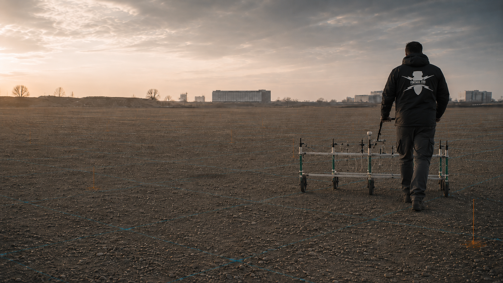
On sufficiently accessible areas, magnetometry can record ferromagnetic anomalies before excavation. Survey feasibility and depth response depend on the target object, measurement height and interference environment.
Utilities, reinforcement and scrap may limit conclusions. These zones are identified separately for later work during construction.
Magnetic survey lines, sensor handling and positional data are linked to the anomaly map. Survey gaps and areas dominated by magnetic interference remain separate from interpretable areas. The target-point list identifies the assessment basis and further investigation needed.
Identify the role of magnetometry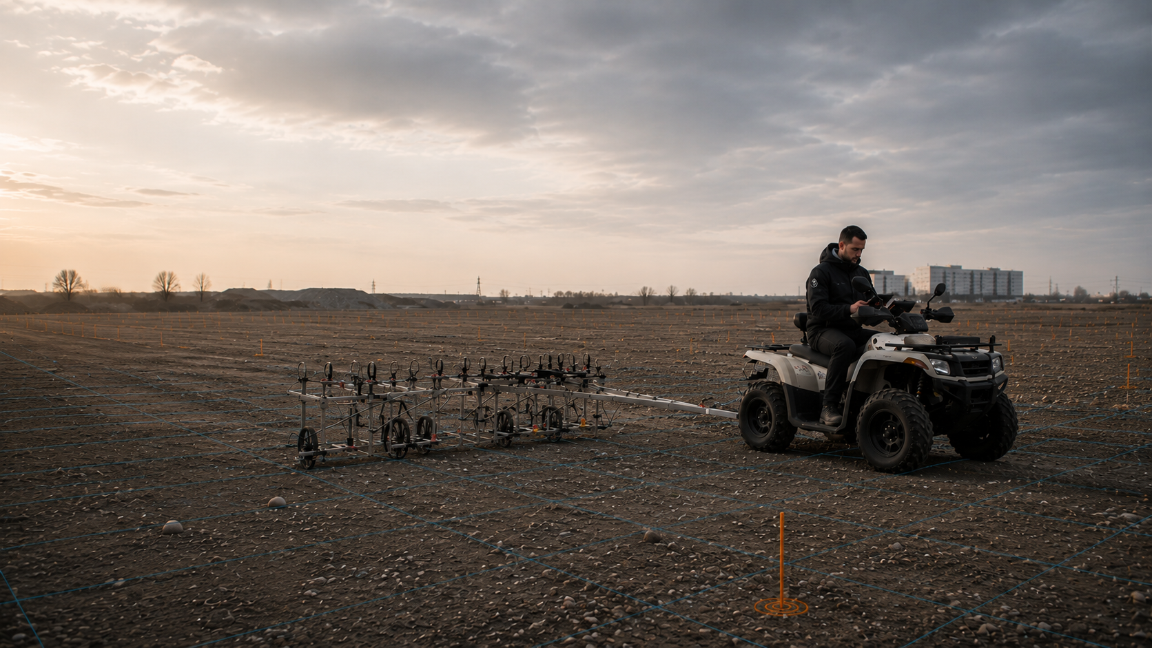
TDEM records electromagnetic responses from conductive bodies and can provide additional anomaly information where surface conditions and a defined objective are suitable.
Electromagnetic interference sources and overlapping object responses affect assessment. Unresolved indications are incorporated into excavation or target-point planning.
Coil configuration, acquisition parameters and spatial reference are linked to the evaluated electromagnetic responses. Masked areas and unresolved anomalies remain identifiable. The interpretation explains the additional information TDEM provides for the next ground intervention.
Understand TDEM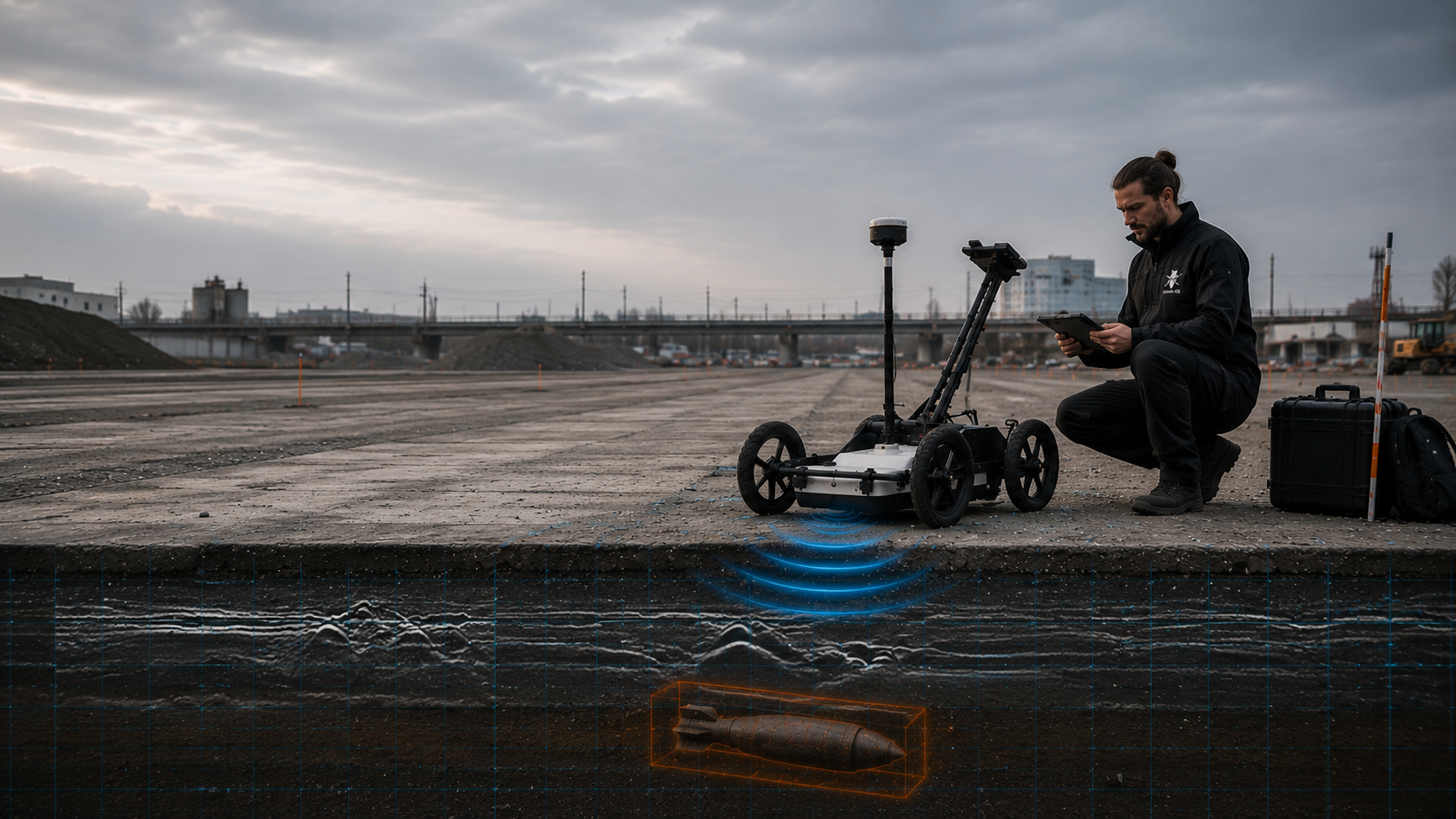
Ground penetrating radar can show structural changes, installations and material transitions. On surfaced or urbanised sites, it supports assessment of the ground and obstacles.
The method does not identify ordnance automatically. Ground moisture, conductivity and complex installations determine which conclusions can be used in the construction sequence.
Radar profiles, profile direction, positional reference and usable depth range remain linked to the evaluated structures. A radar reflection is distinguished from an identified object causing it. Unclear findings are assessed by specialists before being used for excavation decisions.
Understand ground-penetrating radar
Piles, sheet piles, anchors and other deep ground interventions require their own assessment geometry. Measurements are related to coordinates, target depth and the later working volume.
They do not replace area-wide excavation supervision outside the assessed points. Conversely, excavation supervision must not be treated as blanket evidence for deep, uncontrolled alignments.
The point list, drilling and survey geometry and achieved assessment depth document the actual deep-ground assessment. Shoring, utilities and sections that cannot be measured sufficiently remain identifiable as restrictions. A changed alignment or additional depth is compared with this evidence again.
Assess deep interventions
Ordnance surveying during construction requires the intended method to be capable of adequately assessing the actual working volume. Technical surveying and the specialist decision precede each soil removal. The defined layer is then excavated under additional visual observation; surveying is repeated before the next layer.
Working layers, equipment operation, stop points, the responsible person and follow-up measures are described before work begins. Participants can therefore understand when assessment takes place and when work continues.
Layer and section records connect technical surveying, the specialist decision and actual soil removal. Findings, stop points and insufficiently assessed areas remain assigned to their construction state. Handover identifies the volume actually worked and outstanding measures.
Agree construction supervision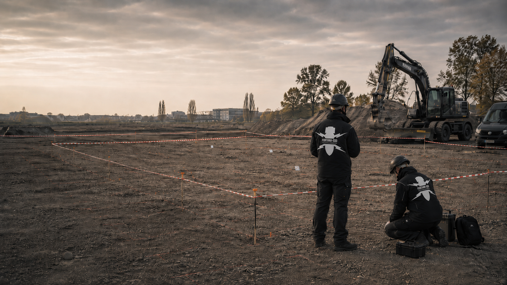
Where an area or soil volume must be cleared systematically, a separate clearance concept defines the area, depth and target objects. Areas that cannot be surveyed, are inaccessible or subject to technical interference require separate treatment. The clearance plan, findings lists, working layers and completion report demonstrate the extent achieved; general excavation supervision does not replace this service.
Clarify area clearance and its objectiveAn ordnance measure during construction is only as reliable as the definition of its working volume. Changes to equipment, construction method or depth are therefore assessed before the next ground intervention.
Excavator size, bucket type, direction of removal and intended working layers influence which areas become accessible under control.
Layer thicknesses are set so that the excavation base, slopes and suspect inclusions can be assessed by specialists.
The excavation, route or subarea is identified unambiguously and supplied with level or depth information.
Later deepening or lateral extension is treated as a new intervention volume and included in planning.
The risk assessment, expected objects and working position determine the equipment and additional protective measures required.
The ordnance measure is coordinated with the equipment’s operational safety and stability.
Exposed working surfaces must be accessible for the intended assessment. Water, smeared soil, loose material or concealed areas may limit conclusions.
Required cleaning, dewatering or reworking is defined as part of the workflow.
Current utility locations, safety distances, foundations and steel components are compared with the excavation and survey area before work starts.
Areas with unclear utility or as-built information are handled separately. Evidence for the remaining area is not extended to them without review.
Grain composition, moisture, scrap content, contaminated materials and water ingress affect survey feasibility, visibility and material flow.
Ordnance and contaminated-land requirements are coordinated organisationally but assessed separately in their specialist disciplines.
Delivery traffic, shoring, dewatering, land surveying and other trades must not alter the controlled working area without coordination.
Access, equipment movement and handovers between work steps are managed through daily coordination.
Before work starts, the anomaly that triggers interruption and the person deciding on further action are established.
The contact sequence, safety area, documentation and regional responsibilities are defined clearly for everyone involved.
Documentation must do more than show that specialists were present. It must identify the section worked, the conditions and the resulting decision.
For each supervised section, the area and depth worked, method used and restrictions identified are documented. If a relevant anomaly or object suspected to be ordnance occurs, work in the affected area stops immediately and further action is coordinated through qualified specialists and the locally competent bodies.
Where findings lead to exposure or clearance, the associated findings and clearance records are linked to the section, location and depth. The report distinguishes these activities from technical investigation and the subsequent decision on further excavation.
The project name, site plan, construction area, coordinate system, construction section and current execution design provide the spatial reference.
Design changes are updated with their dates and affected areas.
Aerial photograph analysis, official letters, survey reports, anomaly plans and known findings are assigned to the supervised area.
Missing and contradictory information about the investigation area is recorded in the file.
Responsible persons, equipment, working layers, protective areas, briefing, stop points and communication routes are documented before execution.
Changes to the daily sequence are recorded by location or section, not just communicated verbally.
The date, location, depth range, excavation method, base worked and particular field conditions are recorded continuously.
This distinguishes areas actually supervised from those only planned.
Signals, objects, interference zones, interruptions and subsequent work are documented with a point or section identifier.
This makes it possible to trace how a finding was assessed and to whom it was handed over.
The report describes the work status, investigation limits and technically justified decision on further work within the documented area.
Uncontrolled areas and later deepening are explicitly separated from the conclusions.
Project documents bring construction progress and specialist ordnance assessment together. It must remain clear later which conditions a decision referred to.
The decision on further work applies only to the area actually assessed. Unsupervised areas, greater excavation depths, new utility crossings and later design changes are assessed separately before another ground intervention.
Working areas, depths, construction phases, intended methods and boundaries are recorded as the starting position.
Additional services and changed excavation areas are documented with their geographical scope and related commission.
Participants, responsibilities, instruction routes, stop signals and responses to anomalies are communicated with a record of the briefing.
Equipment operators, the site foreman and construction management therefore know clearly who makes each decision in the working area.
Start and end times, weather and ground conditions, equipment, working depth, assessed areas and particular events are recorded chronologically.
The records use the same section identifiers as the site plan and construction diary.
Surveys and any target-point assessments are assigned to the relevant construction state with the measurement area, equipment, data reference and specialist evaluation.
A general equipment description does not replace evidence of the area actually assessed.
Interruption, initial assessment, safeguarding measures, bodies involved and subsequent action are documented as one connected case. Where clearance follows, its record and correspondence with authorities are assigned to the same case.
Construction management receives clear information on when and under what conditions work on the section may continue.
Supervised areas, achieved depths, inaccessible zones, design changes and outstanding assessment tasks are brought together in the plan and report.
Construction management can then check whether the documented results cover the next planned ground intervention.
Technical assessment is part of the construction sequence. The working area, responsibility and prerequisites are defined for each step.
The area, depths, construction phases, equipment, schedule, suspected contamination and evidence needed are specified with the client and planning team.
Aerial photograph analysis, official information, survey data, utility plans, ground information and earlier findings are compared spatially.
Working layers, survey steps, assessment areas, equipment requirements and additional measures are derived from survey feasibility and the risk assessment.
Responsible persons, briefing, access, protective areas, stop points, reporting procedures and cooperation with the earthworks contractor are clarified before work starts.
Soil removal follows surveying and specialist approval of each layer, section by section. Visual observation accompanies excavation; newly accessible bases and margins are investigated again.
If a relevant indication or suspicious object occurs, the local area is removed from the construction sequence and passed into the appropriate target-point or find-handling process.
Execution, assessment scope, findings, interference zones and deviations are compared with the planned excavation geometry.
Records, the site plan, conclusions and unresolved areas are prepared for construction management and the project file and linked to the next construction state.
For each section, the timing of investigation, soil removal and the decision on the next work step is defined.
Under DGUV guidance, visual observation of excavator work alone does not meet the state of the art. Before every soil removal, the defined layer is technically surveyed and the results are assessed by specialists. Excavation in layers then proceeds under additional visual observation. The sequence is repeated to the planned excavation base; the base and slopes are technically assessed according to the suspected contamination.
An excavation area is defined spatially and given an unambiguous identifier before work starts. This includes its horizontal boundary, intended working depth, current ground or base level, adjacent utilities and planned next construction state. Without this information, it cannot later be demonstrated which part of the project an observation or measurement refers to.
Soil removal is organised to keep newly exposed areas accessible for the intended assessment. Large uncontrolled quantities of soil, concealed bases, equipment operating simultaneously or areas immediately covered again make specialist assessment difficult. Work planning therefore defines when earthworks stop, when assessment takes place and when the next section starts.
Visual inspection of findings supplements technical surveying; it is not a substitute. Handheld or wheeled surveying and any necessary target-point assessments are defined for the project. The choice depends on the expected objects, interference environment, ground and conclusions needed for the next intervention. The mere presence of a specialist does not replace this methodological decision.
If a technical anomaly occurs, the affected working and protective areas are determined and intervention there is suspended. Whether neighbouring work may continue is decided on the circumstances of the find, risk assessment and required protective measures. Competent authorities are involved if an object is suspicious.
After each layer, the documented assessment area is checked against the construction state actually achieved. Only then may the next soil removal start. This link identifies which intermediate layers and lateral areas have been investigated and which remain excluded from the completion conclusions.
Working areas receive unambiguous names, coordinates or chainages. Transitions to unsupervised areas remain visible.
Layer thickness and sequence are adapted to the ground, suspected contamination and assessment method. Changes are agreed before execution.
The construction equipment’s position and movement envelope are planned to preserve protective areas and newly exposed assessment surfaces.
The current surface is made accessible. Water, smearing or loose material are recorded as possible limitations.
Survey steps are planned with clear area, depth and data references. If survey feasibility is insufficient, the method is redefined before further soil removal.
Suspect, assessed and not-yet-assessed material must not be mixed or moved ambiguously during site operations.
The trigger, responsibility and subsequent reporting procedure are known before work starts. The decision is recorded in the daily or incident record.
The achieved work status is checked with construction management and the responsible specialist before the next excavation step begins.
Preliminary investigation, surveying, clearance and recovery fulfil different tasks. A construction-stage measure is used only where its conclusions are appropriate to the actual intervention.
Answers: Where historically justified suspicion exists and which areas should be prioritised.
Limitation: It does not show which object is currently present at a specific location in the ground.
Answers: Which measurable anomalies occur in a defined near-surface area.
Limitation: Areas with strong interference or restricted access may require additional work during open excavation.
Answers: Which relevant signals are identifiable in the defined point location and depth volume of a deep intervention.
Limitation: Conclusions do not automatically apply to neighbouring excavation areas or changed alignments.
Answers: which working layers were technically surveyed and assessed by specialists before removal. Additional visual observation accompanies excavation; surveying is repeated before the next layer.
Limitation: Unsupervised depths, later extensions and concealed areas remain outside the conclusions.
Answers: How a defined area or soil volume was systematically worked to an established clearance objective.
Limitation: It requires its own clearance concept and must not be replaced by general site supervision.
Answers: How an identified ordnance-related object, or one requiring specific treatment, was handled further by specialists and handed over.
Limitation: It does not replace area-wide investigation or conclusions for uninvestigated parts of the project.
Magnetometric measurements record local changes in the Earth’s magnetic field and can map ferromagnetic anomalies spatially.
Steel, reinforcement, utilities and scrap may mask signals. Anomaly and interference-zone plans identify the survey area and restrictions; these alone do not determine the object type.
TDEM records time-dependent electromagnetic responses from conductive bodies. This information can supplement selection and assessment of suspect points.
Coil geometry, distance to the object, depth and technical installations influence interpretation. Measurement data and the site plan document evaluated anomalies; they do not establish a certain object identification.
Ground penetrating radar shows subsurface reflection contrasts and can provide suitable information on layers, utilities, installations or fill.
Ground conductivity, moisture and heterogeneous ground restrict range and interpretation. Profile and site plans distinguish identifiable structures, uncertainties and survey limits.
Ordnance surveying during construction requires a coordinated technical method. Responsibilities, investigations and decisions on continuing work must be traceable.
Before work starts, FONTANA-EOD checks which part of the intervention has already been assessed through historical or technical investigation and which areas only become accessible during earthworks. Working layers, assessment methods and stop points follow from this.
The responsible specialist has the influence over ordnance-related operations needed for the task. Earthworks are coordinated so that newly exposed areas are not removed from assessment by production pressure, concurrent trades or unclear equipment movements.
Utility corridors with strong interference, inaccessible slopes and changed excavation depths are documented separately. The further assessment needed is defined for these areas.
Suspected contamination, ground, survey feasibility and intervention determine the construction-stage approach.
Tasks, certification, instruction routes and attendance match the specific service scope.
Excavation creates assessable surfaces and follows the established sequence of sections.
Anomalies are located spatially and passed into further work in an organised manner.
Inaccessible areas and those limited by the method remain visible to planning and construction management.
The plan, daily record and conclusions refer to the same construction and area status.
Before work begins, it is agreed who coordinates construction, who makes specialist ordnance decisions and how participants pass on information.
Defines the construction task, required work status and contractual service scope. Supplies existing documents on suspected contamination, planning and official requirements.
Describes the area, depths, phases, excavation method, coordination points and evidence clearly enough for execution and costing.
Manages the schedule, trades, access and changes to the construction sequence. Coordinates the work of participating trades and takes account of the agreed ordnance stop points.
Carries out excavation according to the agreed working layers and instruction routes. Changes to equipment, depth or section are communicated before implementation.
Assesses the basis of suspicion and measurements, directs the agreed specialist ordnance supervision and documents findings, limits and follow-up decisions.
Depending on the project location, takes responsibility for hazard response, handling finds and decisions on further public-authority measures. Reporting procedures and names differ regionally.
Depending on the project location, the public order authority, KBD, KMBD or KRD are involved in information enquiries, reporting finds and subsequent hazard response. Building control may be involved in the construction approval process. Responsibilities, contacts and existing requirements are clarified for the specific proposal.
The specific approach depends on suspected contamination, scope of activities, project location and risk assessment. Explosives-law qualifications, occupational safety, clearance planning and site organisation are therefore considered together.
The DGUV, FAQ 4, explicitly distinguishes observation of excavation alone: where suspicion is diffuse or conventional surveying cannot be applied, ordnance surveying during construction is the minimum requirement. A planned procedure, suitable technology and qualified responsibility are essential.
For commercial activities involving found ammunition, company authorisation under § 7 SprengG and certification of responsible persons under § 20 SprengG must be considered. The activities covered in each case depend on the service scope, circumstances of the find and regional requirements. The 1. SprengV and project-specific risk assessment supplement this framework. Searching for found ammunition is also expressly covered by § 1b para. 1 no. 3 letter d SprengG; the responsibility framework is clarified at the search stage.
DGUV Information 201-027 supports risk assessment and selection of protective measures for ordnance clearance work. The Baufachliche Richtlinien Kampfmittelräumung, A-9.4.3, provide a systematic technical basis for federal properties and may serve as methodological guidance outside that scope. Their sequence combines surveying, specialist approval, excavation in layers and additional visual observation.
DGUV Regel 113-003 concerns dismantling or destroying explosives and related objects and includes disposal of found ammunition. Its application depends on that field of activity. Technical investigation during construction and any subsequent handling of a find are planned with their respective tasks and responsibilities.
The expected objects, working method, personnel, equipment, protective area and rescue arrangements are coordinated before work starts.
The company’s authorisation framework, responsible person and specific task must match the intended activities.
Excavation layers, instruction routes, stop points, access, communication and response to finds are described as part of execution.
The working area, method, findings, restrictions and follow-up decision remain assigned to the actual construction state.
The specification, basis of suspicion, risk assessment, responsible persons, equipment and regional reporting procedure are checked.
The agreed sequence is followed. Changes, interference zones and technical anomalies are assessed before the next intervention.
Work is stopped immediately. The object is left untouched and unchanged, and the immediate area is vacated. In Germany, the police are called on 110; outside Germany, the local emergency procedure is used. Further measures are coordinated with the competent authorities.
Preliminary investigation, technical assessment and records refer to the same excavation section. Construction management receives information on working layers, areas actually assessed and unresolved areas.
Documentation identifies location, depth, working method and areas actually assessed rather than merely time spent on site.
Prepare section-specific documentation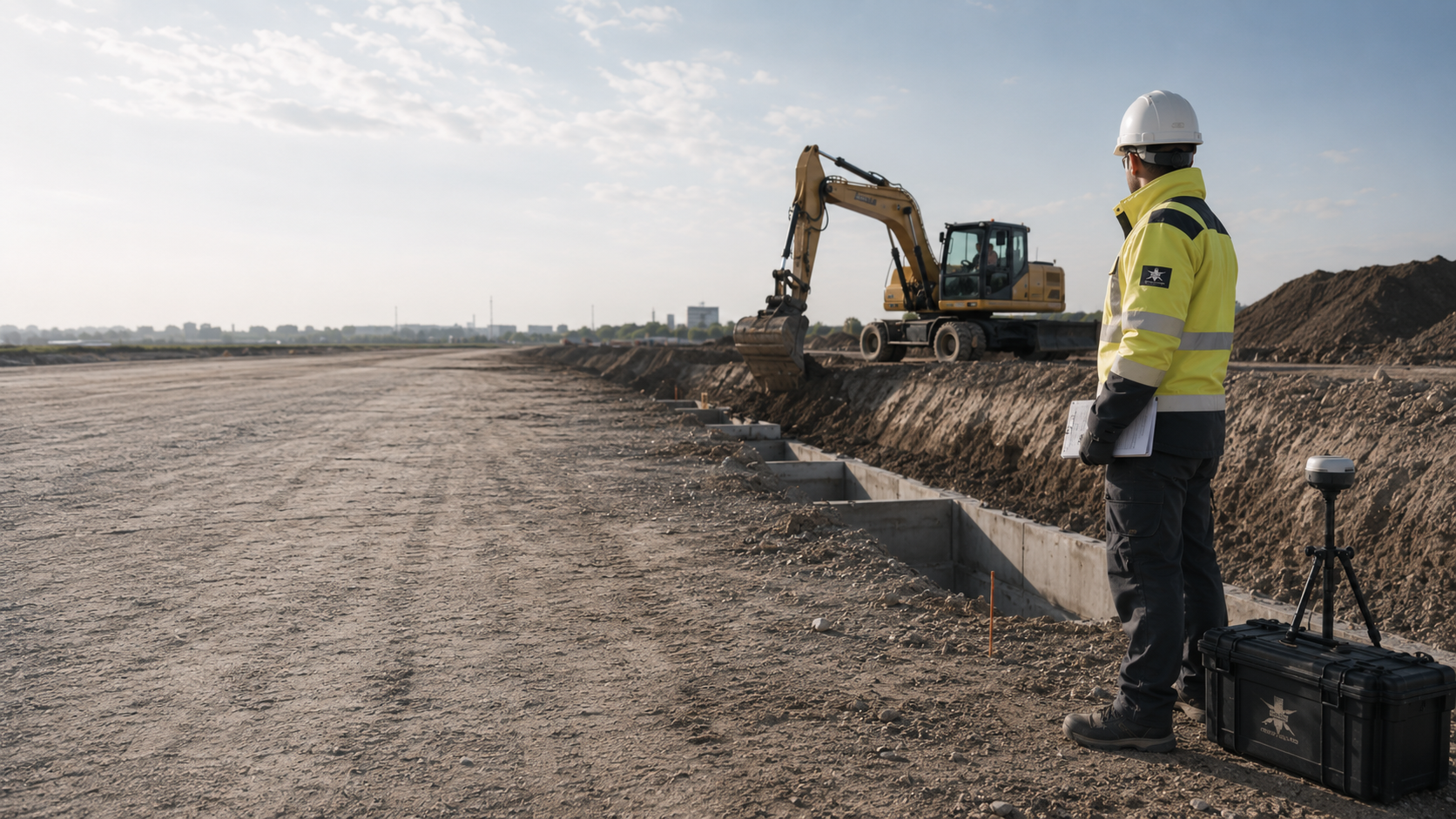
Layer thickness, equipment movement and assessment timing are agreed before execution and adjusted if conditions change.
Align supervision with the construction sequencePreliminary investigation establishes which sections are prioritised, which target objects are expected and which protective measures are prepared.
Understand the historical basis for suspicion
Measurement data reduce the area that must be assessed only during open excavation and provide georeferenced starting points.
Select the preliminary technical investigationPile, shoring and drilling points receive their own deep-ground assessment evidence, which is compared with the area-wide construction sequence.
Investigate deep interventions separatelyDocuments show the areas worked, restrictions and technically justified next step for construction management and the client.
Bring completion documents together
Depending on project status, the construction-stage measure is supplemented by assessment of suspected contamination, surveying, deep-ground assessment, area clearance, recovery or more detailed evidence planning.

Relate excavation supervision to preliminary investigation, surveying, clearance and recovery.
Compare servicesDefine suspect areas and expected target objects spatially before site work.
Assess suspected ordnanceAssess areas that can be surveyed in advance using magnetometry, TDEM or ground penetrating radar for the specific project.
Select a methodAssess piles, sheet piles, anchors and other deep interventions separately.
Survey at depthWork on larger or heavily contaminated areas under a separate clearance concept.
Clarify the clearance objective
Pass identified objects, or objects requiring specific treatment, into the appropriate specialist and responsibility framework.
Understand recoveryPrepare the specification, risk assessment, records and completion documentation.
Clarify documentation
Identify construction-stage requirements for civil engineering, routes, energy, industry or municipal projects.
Choose the project settingSend a site plan, planned depths and intended earthworks sequence. Add existing investigation reports and known restrictions. FONTANA-EOD can relate the need for construction-stage surveying to this specific task and identify missing information for further planning.
Planning and the actual construction state are brought together before the relevant section. Access, available documents and responsibilities are coordinated. Known deviations remain identifiable. A changed section is assessed by specialists before earlier assumptions are adopted for current work.
Documentation connects the area worked with the achieved work status and relevant conditions. Construction management uses this information for further coordination. Outstanding parts remain traceable on the plan. The scope of conclusions is passed on with the result.
If a trench is extended, an excavation enlarged or a different depth proposed, the change is compared with existing documents. Earlier documentation is retained. Additional specialist requirements are assigned to the new intervention and agreed with those responsible.

State the location, affected area and construction-management contact. Add the intended period and current construction state. The regional overview helps with orientation; the site plan, intervention depth and existing knowledge remain decisive for the specialist enquiry.
Send existing information, specialist reports and project requirements with their respective spatial references. The responsible participants clarify open questions for the current construction section. Information about other areas or earlier measures remains identified as such.
The report and spatial annexes are read together. They describe the area actually supervised and the associated conditions. For the next construction activity, this status is compared with the current plan. A verbal completion message alone does not replace clear identification of area, depth and work status.
Explore results and terminologyThe ordnance specialist company documents its agreed contribution. Construction-engineering decisions, utility information and operating requirements come from the participants responsible for those matters. The project organisation brings this information together for the next works. A shared site does not change the different tasks and areas of responsibility.
Understand the service scopeInaccessible subareas and remaining questions are kept identifiable in project documents. If the construction state changes, the investigation scope now possible is agreed again. Existing results remain usable insofar as their spatial and technical relevance matches the upcoming work.
Explore results and terminologyTechnical information
The brochure describes when specialist ordnance supervision during construction may be appropriate, how it is coordinated with the construction sequence and the limits of this approach.
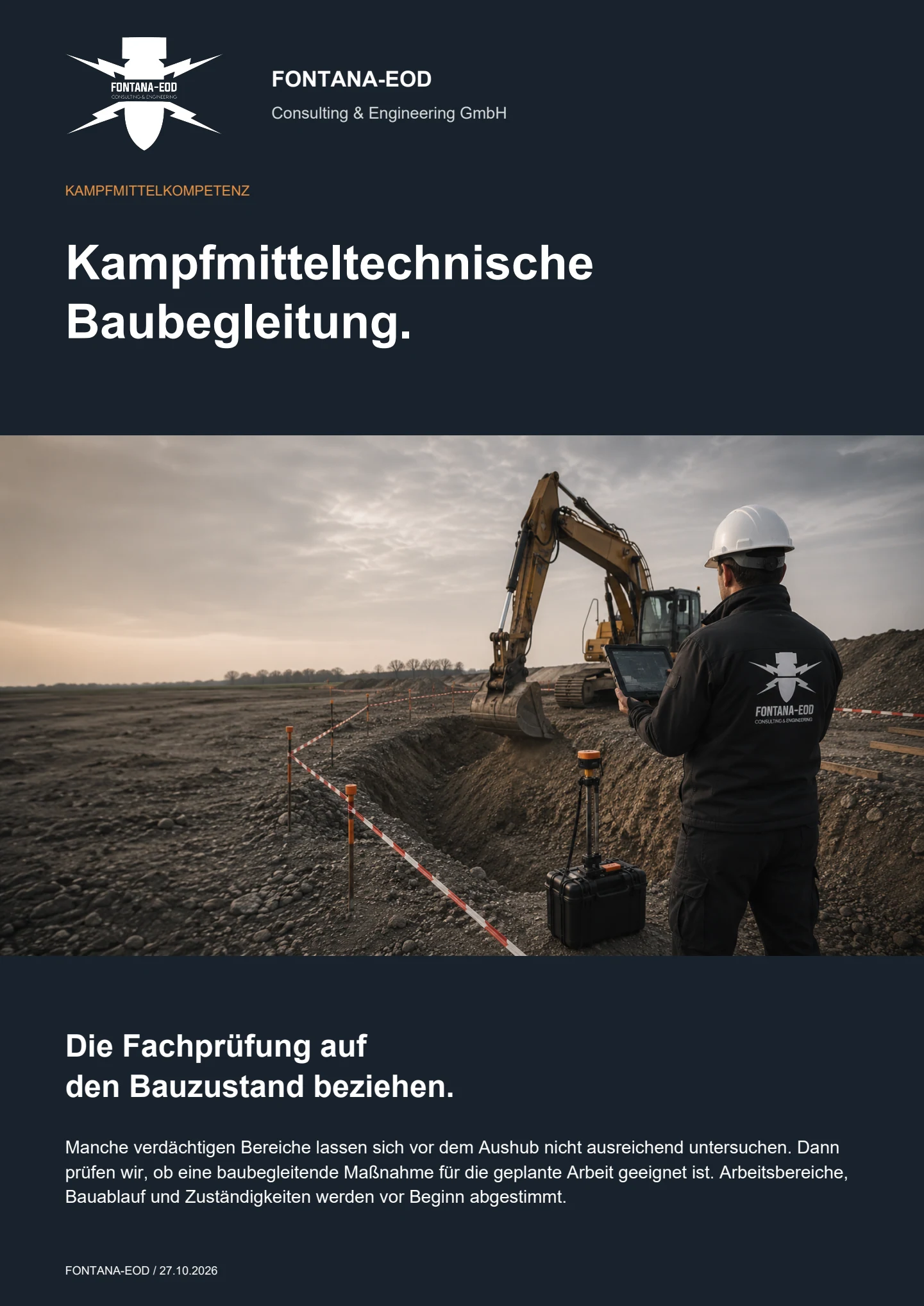
Ordnance surveying during construction may be considered where earthworks take place in an area with suspected ordnance and the actual intervention volume could not be surveyed fully or with sufficient reliability beforehand. Reasons may include existing buildings, utilities, reinforced concrete, fill, strong interference, varying depths or areas that only become accessible as construction progresses. Planning identifies the sections and excavation layers concerned and the evidence required.
The task is clarified before tendering and site start so that the sequence of work, protective arrangements and technical assessment scope are incorporated into the construction programme.
Visual observation alone does not constitute proper ordnance surveying during construction. A defined working and safety concept, qualified specialist supervision, agreed excavation layers, accessible assessment surfaces, suitable surveying or clearance steps, defined stop points and spatially referenced documentation are required. The combination needed depends on suspected contamination, ground, survey feasibility and construction method.
Excavation supervision is a common but technically imprecise term. Under DGUV guidance, observation alone is insufficient. Ordnance clearance during construction combines a defined clearance objective with a controlled technical procedure. Surveying forms part of assessment before soil removal; visual inspection supplements it.
Before soil is removed, each working layer is surveyed and approved by a specialist. Visual observation is added during excavation. Newly accessible excavation bases, slopes or target areas are investigated again in accordance with the concept. Equipment movement, access and concurrent trades are coordinated so that surfaces requiring assessment are not concealed or altered without control. Only then is the next layer started.
Work in the affected area is stopped immediately. The object is left untouched and unchanged. The responsible specialist and locally competent bodies determine further action according to the circumstances of the find and protection requirements. Whether neighbouring work may continue is decided separately.
Leave the immediate area and, in Germany, call the police on 110; outside Germany, the local emergency procedure applies. Others are warned without putting oneself at risk. The competent authorities determine further action; a project enquiry does not replace reporting a find.
It describes the sections and depths actually supervised, the working and assessment procedure used, relevant preliminary investigations, anomalies, findings, interruptions, inaccessible areas and the resulting decision on further action. Conclusions apply to the documented construction state. Later deepening or design changes require a fresh check of whether they cover the intended intervention.
Factors include area, excavation volume, number and depth of working layers, construction method, equipment, ground and groundwater, utilities, interference sources, required survey or clearance steps, output per shift, concurrent trades, protective arrangements, findings, documentation scope and working periods. Reliable costing therefore requires a current site plan and details of the construction sequence.
For an initial assessment, the planned ground intervention and existing basis of suspicion must be identifiable spatially. Missing information is identified as a planning requirement before an execution concept is defined.
Send the project address, site plan, parcel, excavation or route boundaries, level reference, maximum excavation depth, construction sections and intended sequence.
Extensions, demolition stages and areas only accessible later should already be identified.
Useful documents include aerial photograph analysis, official letters, previous finds, survey reports, anomaly plans and information about areas already worked.
Different plan versions or coordinate systems are reconciled before deployment planning.
Information is needed on the excavation method, construction equipment, output per shift, utilities, shoring, dewatering, ground, access, working hours and concurrent trades.
These data determine working layers, protective arrangements, staffing and documentation scope.
To define the service, it is important to understand what role construction supervision is intended to fulfil in the project. This may include assessment of an excavation that cannot be surveyed in advance, section-by-section supervision of a utility trench or work on existing sites with interference. Supplementing a preliminary investigation or a specialist response to anomalies already encountered may also be appropriate. FONTANA-EOD uses this to identify the documents still needed and a suitable approach.
Excavation, route, subarea, chainage, levels and inaccessible zones.
Equipment, bucket, direction of removal, working layers, daily output and construction phases.
Utilities, reinforcement, foundations, scrap, groundwater and coordination with contaminated-land work.
Documentation for construction management, tendering, the client, project file or regional coordination.
Whether historical aerial photograph analysis, explosive ordnance surveying, surface surveying using GPR, magnetometry or TDEM, deep-ground surveys, downhole surveys, excavation supervision, area clearance or ordnance recovery is needed depends on the location, ground disturbance, depth, ground and existing documents. An early ordnance assessment provides clarity for tendering, programming, occupational safety and construction.
FONTANA-EOD combines its Section 7 SprengG licence, specialists holding Section 20 SprengG certificates of competence, suitable survey and clearance methods, and traceable documentation. Send the site plan, depth of ground disturbance, construction phase and existing documents for an initial technical assessment.


