Project pathway
The quickest route to the right decision.
The public map shows project locations and their associated service areas. Selected project examples and our client logos provide further insight. Full reference details, including client, project description and scope of services, are accessible after confirmation of your business email address.
Select a project location on the map. Use reference access for further details. If you need suitable supporting evidence for your project, tell us the construction task and service required.
GmbH based in Gersheim
Clarify responsibilities and coordination
Discuss your project and documents




























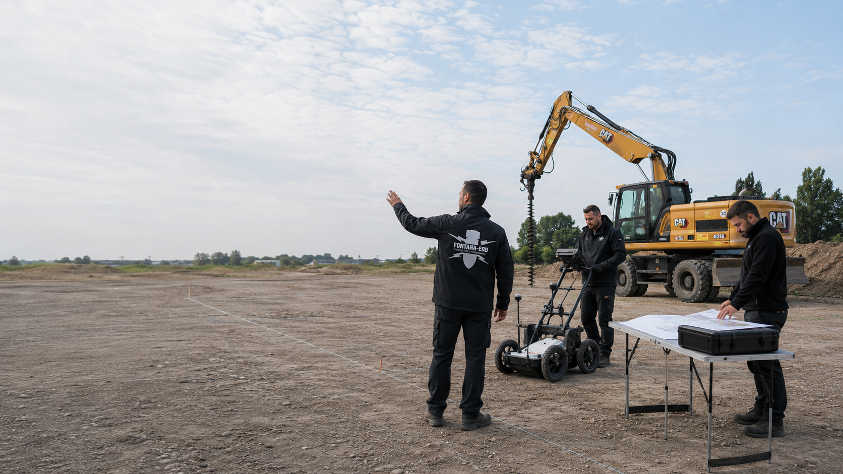
Explosive ordnance deep-ground survey using 3-axis downhole magnetometry, setting out borehole positions, drilling boreholes, on-site interpretation, borehole evaluation, preparation of a georeferenced measurement report, and additional opening / supplementary drilling where indications of explosive ordnance occur.
Explosive ordnance ground-penetrating radar (GPR) survey of near-surface construction and intervention areas, georeferenced evaluation, documentation, clearance of suspect points and clearance statement; supplemented by ordnance specialist supervision of groundworks.
Specialist supervision of ground interventions is linked to the agreed working areas, checks and supporting documentation.
Anomalous points and affected working areas are addressed within the documented scope. Clearance, recovery and final checks are distinguished according to the actual task.
Unambiguous spatial assignment connects project areas, measurement data and results documents. Scope and limits of interpretation remain traceable together with the plans.
Investigation objective, working area, method selection and documentation scope are brought together before work begins. The specific task of the construction project is decisive.
Projects in Germany and Luxembourg
Our references cover different construction tasks, survey methods and project locations. Select a point on the map or a location from the selection to open the associated projects in the reference table.
The points indicate location references for the projects, not exact find or construction-site coordinates. Several entries may relate to one project location. References without an unambiguous location assignment are also included in the following table.
Map sources: © BKG (2026), VG250 / GN250, Data licence Germany – attribution 2.0; Luxembourg: ACT / data.public.lu, CC0. Geometries simplified and projected for display; project assignment: FONTANA-EOD.
The project map is public. Open the full reference information, including clients, project description and scope of services, using a single-use link sent to your business email address.
Reference access is enabled for this session.
Companies in the explosive ordnance sector also commission FONTANA-EOD for specialist services. We undertake individual specialist tasks as well as complete service packages – from clearance-site notification to documentation.
Projects are ordered by the most recent service date stated, newest first. Periods are shown to the nearest month. Entries without a recorded date appear at the end.
State the type of construction project and affected working area. For example, are utility trenches, foundations, a larger construction area or individual borehole positions planned? A site plan and proposed intervention depths help describe the task.
Tell us which investigation or service is requested and what documents already exist. Information about existing structures, utilities, ongoing operations or working areas available in sections helps assess comparability.
Do you need a project description, confirmation of a particular service or evidence for a tender? Specify the required form and period of work being considered. This identifies which information is essential for your decision.
When selecting, check whether the type of work, construction setting and requested service match your project. Information about access, existing utilities and ongoing operations helps identify differences.
For a specialist comparison, the investigation objective, areas or points worked on, method used and documented limitations matter. State the planned ground volume affected and intervention depths for your project. This information allows discussion of which project information and supporting evidence fit your enquiry.
For work accompanying construction, the type of service is particularly important: visual observation of excavator spoil alone is not an explosive ordnance survey during construction under DGUV, FAQ 4. Therefore ask about the actual investigation sequence and associated supporting documentation.
How investigation scope and results are described is explained on the page survey report and clearance record. The ordnance clearance confirmation addresses scope and limitations.
The overview services helps assess your enquiry. Under expertise and equipment you will find information on the technical areas of work.
Public news and documentation can be found in the separate media section. These articles explain finds and historical contexts. In your project enquiry, you can refer to the article and the question it addresses.

Whether historical aerial photograph analysis, explosive ordnance surveying, surface surveying using GPR, magnetometry or TDEM, deep-ground surveys, downhole surveys, excavation supervision, area clearance or ordnance recovery is needed depends on the location, ground disturbance, depth, ground and existing documents. An early ordnance assessment provides clarity for tendering, programming, occupational safety and construction.
FONTANA-EOD combines its Section 7 SprengG licence, specialists holding Section 20 SprengG certificates of competence, suitable survey and clearance methods, and traceable documentation. Send the site plan, depth of ground disturbance, construction phase and existing documents for an initial technical assessment.


