Project pathway
The quickest route to the right decision.
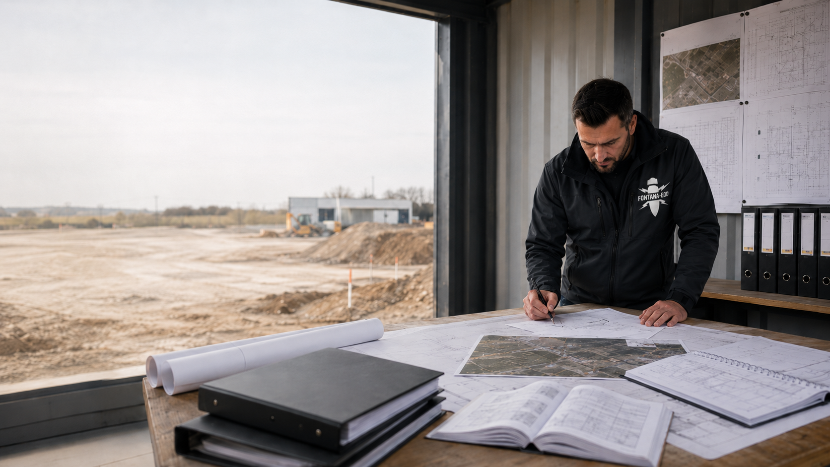
Which area is to be surveyed, to what depth and with what objective? This information belongs in the bill of quantities alongside local conditions and the result documents required. FONTANA-EOD supports you in technically describing the ordnance survey.
Describe the conclusion required.
Determine quantities and boundaries.
Agree evidence in advance.
A bill of quantities for ordnance surveying connects the proposed intervention with a spatially defined survey task. This includes the area or individual points, required depth, known conditions and result documents needed. A general requirement for freedom from ordnance is translated into appropriate specialist services and traceable evidence objectives. Before requesting quotations, this information is checked against the current plan and existing knowledge.
In a bill of quantities, the task described determines what is to be offered and subsequently evidenced. Technical terms in ordnance work are therefore connected with the specific working volume and intended result.
§ 121 GWB requires an unambiguous description of the subject of the contract within its scope, so that companies understand the task consistently and quotations are comparable. The BFR KMR distinguish the construction description, bill of quantities, technical specifications and appendices. Together, these documents describe the task to be performed and its conditions. The procuring body clarifies the applicable procurement law and contractual conditions with its legal advisers; the technical contribution is agreed with its own scope.
Suspected ordnance identifies a need for technical clarification; a suspected area gives it a spatial reference. The tender must state the basis, plan reference and previous work. A representation of suspicion alone does not describe the survey required for all depths and construction activities within that area. Identify, for example, whether information concerns the entire plot or only an earlier construction section. The technical basis is assigned a date and its appendices. The scope of the newly requested service remains distinguishable from it.
Assess suspicion in relation to the projectSurveying means technically searching for relevant anomalies using suitable methods. The item requires a spatial reference and survey objective. Measurement conditions, interpretation and the result required belong in task clarification. Naming equipment does not replace this information or automatically make different survey volumes comparable. Magnetometry detects magnetic anomalies; TDEM detects time-dependent electromagnetic responses of electrically conductive bodies. Ground-penetrating radar provides supplementary structural information under suitable ground conditions. The conclusion required for the project is connected with the suitability and limits of each method.
Distinguish survey tasksClearance and recovery are specialist tasks with their own prerequisites and responsibilities. Area clearance concerns a described working volume; recovery is related to the specific task. In the bill of quantities, these services should remain distinguishable from preceding surveying and assessment. Follow-up measures not yet defined are not described as established quantities of finds. Area, depth and clearance objective belong together when calculating area clearance. Subsequent investigation of findings is described according to its reason and the actual need identified. Its measurement and payment have a traceable connection with the specialist task performed.
Distinguish clearance and recovery technicallyArea, depth, method and limits of conclusions are essential for evidence of results. Terms such as borehole clearance are therefore tied to the specific point and proposed intervention. Documentation records the service actually performed and the open areas to consider in the subsequent construction decision. Result requirements therefore also include sections not reached and limits to measurement. For a relevant recovery task, a clearance record connects the location treated with depth, finding and result. Site management needs the associated plans together with the report.
Read evidence and its limitsEOD stands for Explosive Ordnance Disposal. UXO means Unexploded Ordnance: ammunition prepared for use or used that has not exploded. International project documents explain these abbreviations alongside the activity required. For a German bill of quantities, local responsibilities and the specific qualifications required remain to be determined separately.
Translate EOD requirements into specialist tasksKBD is a common abbreviation for Kampfmittelbeseitigungsdienst, the public ordnance disposal service. Which body is involved depends on the location and matter. The bill of quantities should identify which authority information already exists and which coordination is still required. A private specialist service and an authority decision perform different tasks. Attach existing correspondence with case references and plan appendices. State which tasks have already been initiated by an authority and which service is now to be tendered privately. The commission can then build on the actual procedural stage reached.
Assign authority and private tasksThe Baufachliche Richtlinien Kampfmittelräumung support technical planning within their scope. DGUV stands for Deutsche Gesetzliche Unfallversicherung; its relevant publications concern safe working methods, among other matters. These bases are connected with the specific activity. A general list of rules does not yet describe an executable service item. The BFR KMR connect selected technical specifications with the specific service description. Necessary additions concern, for example, the working volume, existing installations and the result required. A general reference is thus related to work actually to be performed.
Distinguish the prerequisites of the specialist taskA specialist task during construction is related to the intended construction state and suitable technical investigation. Simply observing excavation is insufficient. Describe the intended interfaces between surveying, site management and further excavation, and the evidence required. Work sequence and survey objective must match. With a suitable method, each working layer is technically surveyed and assessed before controlled excavation in layers; visual inspection supplements this survey. The sequence down to the agreed excavation base and, where necessary, at walls or slopes is coordinated with site management and the construction team.
Describe the service during constructionDescribe the conclusion required for the construction activity. Site plans, area or point identifiers, depths and reference elevations belong together. Identify areas outside the commission and preparatory services already available. Plot size alone is not a quantity basis for all proposed interventions. For individual foundations, point numbers, starting elevations and final depths are connected. Section identifiers and cross-sections help for routes. Additional excavations and ancillary work receive their own plan reference where they extend the ground volume to be surveyed.
Provide available information on ground, utilities, surfacing, interference and access. Define technically justified requirements without using an instrument as a universal substitute for a survey objective. Where the information for selecting a suitable method is missing, this clarification step should be identifiable before the final execution specification. Highly conductive ground can, for example, limit GPR range. Existing metal infrastructure can obscure geophysical surveys. The known condition and remaining questions are therefore considered together before defining the method, coverage and interpretation.
Divide the task into traceable parts, such as preparation, surveying, interpretation and documentation. Quantities, units and boundaries must match the activity described. For services that can only be determined later, clarify prerequisites and approach; an undefined catch-all item does not replace a technical description. A drilling point counted as one item and payment by drilled metres represent different quantity references. One-off setup and recurring deployments must also be distinguished. For a quotation comparison, units are assigned to the respective working volumes and the parts of the service actually included.
A survey item may remain unclear if clearing the area, utility information, setting out or providing a working area is not assigned to a party. Record which prerequisites the client provides and which services the contractor performs. This includes work windows, phased handovers, contacts and handling changed plans. State when a prerequisite is to be available and who confirms that it is met. Where areas are provided in different states, link these states unambiguously with the programme, survey task and agreed result handover.
For tasks during construction, technical surveying, assessment and further excavation are described as a coordinated sequence. The DGUV FAQ 4 distinguishes merely watching excavator operations from the state of the art. With a suitable method, each working layer is technically surveyed and assessed before controlled excavation in layers; visual inspection supplements this survey. The stop signal, authority to give instructions, reporting channels and documentation of each stage are defined before work begins. Execution follows the technically appropriate approach and actual conditions.
Specify reports, site plans, spatial reference, execution records required and desired data formats. Define recipients and the handover date. The documents must later show which service was performed where and which limitations apply to using the result. The BFR KMR connect documentation with the specialist task performed. Agree which spatial appendices site management receives for its working area. A brief result notification and a report with associated plans represent different handover scopes.
Request the qualification and authorisation documents relevant to the commission. Distinguish the company's permit from the competency of responsible persons. Suitability requirements should match the assigned activity and not be replaced by an unsubstantiated general certification phrase. Evidence is assigned to the proposed tasks and responsible persons. If a special activity is proposed, its requirement is identified specifically. A company designation alone leaves the personnel and technical scope required for execution undefined.
New findings, additional areas or different depths can require adjustment. Define who describes, technically assesses and commissions the change. Document the quantities and plans affected. A technical finding and commercial approval serve different purposes and should not silently be equated. In particular, record who receives an identified deviation and how an agreed additional scope follows from it. The new plan version, affected items and changed quantities must later be retrievable together.
Before requesting quotations, compare unclear working volumes, missing site information and changing construction states with the intended specialist task. This identifies the information still to add to the item description and associated plans.
An overall area may include shallow trenches and deep individual foundations. Locate the proposed activities spatially and check which conclusion is needed for each. Only then can the survey task be divided meaningfully. The division should be consistently traceable in text and plan. A deep foundation point is stated, for example, with its own location and depth reference. The adjacent shallower route retains its different survey volume. A common plan can show both tasks without combining them into an undefined area.
Surfacing, utilities, reinforcement or fill can affect the survey. Describe known existing conditions and mark open questions. If technical clarification is needed before execution planning, treat it as a separate decision stage. A general addition to the item description does not remedy missing information. Necessary survey access is also part of technical task planning. Who is to open a sealed surface or create access is coordinated before that intervention with the surveys and responsibilities required for it.
An area may only become accessible after demolition or in a later construction section. State which condition is assumed for the service and which results must be available before the next intervention. This makes handover timing and remaining survey needs apparent in the description. Later accessibility is represented separately from a working area already accessible. Describe the preparatory work that precedes it and who creates the intended condition. Procurement can then consider necessary deployments and intermediate handovers.
A service item receives its spatial reference from the current plan and its technical meaning from the survey objective. Quantity estimate, execution conditions and result requirements are therefore coordinated together.
A quantity should be assignable to the current site plan. Section identifiers help for routes; point numbers and reference elevations are needed for individual interventions. Ancillary areas, excavations and working spaces remain identifiable. If different tasks are combined, it must be clear which part of the quantity belongs to which activity. The quantity estimate also includes the work status. Surveys already completed and work newly to be tendered are identified separately. It remains clear whether an item concerns supplementary work or the entire outstanding task.
Setting out, site access, utility information and construction states may be provided by different parties. Identify these interfaces and the intended time. The technical survey can then build on clear prerequisites. Open responsibilities are clarified before execution and recorded in the coordinated documents. Identify, for example, the recipient of utility information and the contact responsible for site handover. A necessary closure or operating window is connected with the responsible body and planned survey time.
If an alignment is shifted or a foundation deepened, the connection with the original bill of quantities must remain identifiable. Describe the areas affected and the new conclusion required. Existing results are checked to determine whether they cover the changed working volume. Supplementary work receives a traceable plan and decision version. Where positions shift, adjacent working spaces are also considered: excavation margins, connecting trenches or additional points may be affected. A revised quantity refers to the new plan version so that the service offered and subsequently performed remain comparable.
The description follows the information needed. Different survey tasks receive appropriate underlying information and result requirements.

If historical findings are missing or need targeted supplementation, describe the study volume with existing information and reports. The result supports further technical assessment. Distinguish this task from a technical survey on site so that both services remain identifiable in the quotation. The assessment receives an unambiguous study area and a specific question. State which existing finding is to be investigated further and which documents are already available. The desired result can then be connected with technical survey planning.

For piles, boreholes or other deep interventions, provide location, dimensions, depth and construction method. A point plan allows the required result to be assigned. Known obstacles and differing reference elevations supplement the description. The technical survey is coordinated with this specific working volume. If borehole clearance is required, it is assigned to the proposed borehole and its path. Creating survey access also requires a technically appropriate sequence. Necessary preliminary surveys are considered before these interventions.

A service during construction needs a described construction state and a technically appropriate approach. Identify the trades involved and intended handovers. The item should show which technical work is commissioned and how its results become available before the next work stage. The companies involved need a shared understanding of the next permissible step. Technical assessment of findings and organisational instructions for construction progress are assigned to their respective responsible parties. Areas not yet surveyed remain identifiable.
The spatial description differs for areas, routes and individual points. The actual intervention remains the common reference.

Separate the currently proposed intervention from later extensions. Existing survey results are assigned to the respective sub-areas. Access, construction state and results needed may differ between sections. These differences should already be evident in the technical task description. A consistent section identifier connects the plan, item and later report. If a construction section changes, its survey scope can then be coordinated specifically. Results already documented retain their actual spatial and technical reference.
Describe survey scope by construction sectionA utility alignment does not describe every working volume. Add crossing pits, chambers, access routes and temporary areas wherever ground intervention is proposed. The plan reference supports a complete quantity description and prevents spatially separate tasks from disappearing into an unclear collective item. Crossings may need different depths, access and construction states from the standard trench. Show these differences in the plan and associated task. Utility length alone otherwise represents the additional effort incompletely.
Assess the route task including ancillary areasOperational use and existing installations may determine access and the sequence of work. Show known utilities, foundations and later demolition states. Technical survey limits are checked against the results required. This gives the commission an understandable basis for selecting suitable services. Add available work windows and access contacts. Conditions already confirmed are distinguished from coordination still outstanding. The contractor can then base its service on the actual agreed provision of the working area.
Record existing conditions for the tenderTechnical work follows the information available and the procurement decision date.
In the initial contact, provide project location, construction activity, design stage and decision date. Clarify the intervention and procurement step for which the technical description is needed. Responsibility and the desired scope of the contribution are recorded together.
Site plans, historical findings and technical reports are checked against the current design. Missing spatial references and conflicting information are identified specifically. Reports are considered in full with their appendices. Survey volume, method and limitations are decisive, not a summary heading alone. Existing conclusions are compared with the proposed working areas and current elevation reference.
Where the specialist task requires it, historical research and aerial photograph analysis are carried out and assessed for the agreed study area. Existing reliable results are considered. The basis for suspicion derived from them and remaining knowledge gaps inform technical survey planning.
The appropriate method is selected based on survey objective, depth, ground structure, existing utilities and interference. Methods differ in their prerequisites and limits of conclusions. Preparation, surveying, interpretation and evidence receive understandable service boundaries; necessary preparatory services and responsibilities are recorded in the description.
The subsequent survey or specialist supervision is planned with construction states and result handovers. Technical assessment and follow-up measures still required remain assigned to their respective tasks. Site management and specialist contractor coordinate which results must be available when for further excavation or the next construction section. The contacts and reporting channels required are connected with the planned specialist service.
Item descriptions, quantities, plans and evidence requirements are checked together. Open decisions are clarified with the responsible parties before documents are passed on. The procuring body receives the technically coordinated appendices with the identified bill-of-quantities version. Changes are maintained so that text, quantities and plan reflect the same work status.
After commissioning, the specialist contractor carries out the agreed technical survey or survey during construction. Work takes place within the specified ground volume and agreed conditions. Measurement data, findings and limitations are assigned to the areas or points actually treated.
Results are interpreted technically and compared with the proposed intervention. Report, plans and, where applicable, clearance record document the service performed and the limits of its conclusions. Open areas and necessary follow-up measures are coordinated with the responsible parties and handed over to designers and site management.
The task in focus varies with the information available.
An early draft often contains unresolved survey questions. Assign the proposed intervention and existing findings before defining individual execution items. Identify whether a missing historical basis, an unclear intervention volume or method selection still needs work. The contribution can then address the actual gap and deliver a specific result for further planning.
First distinguish the specialist services requiredIf reports, plans and limits of conclusions are only mentioned generally, make the result handover required specific. It should match site management's subsequent decision. For phased execution, also define the intermediate versions needed. Data and plans receive the same section identifiers as the bill of quantities. Project parties can then assign each evidence item to the correct construction task.
Describe result scope and handover technicallyWhere more comprehensive planning is needed, the clearance plan and execution specification are coordinated. Project changes should be reflected in the current design. The BFR A-4.2 connect the clearance concept, execution planning and preparation of procurement. Existing results, the defined objective and current site conditions are brought together for the task description. A changed design is checked against this planning version.
Assess the clearance concept and execution planningSubmit the bill-of-quantities version with plans and existing reports. A precise question makes it easier to agree which technical contribution is required. State whether an individual item, the quantity structure or the compilation of result requirements needs work. Missing appendices and when they will be provided remain identifiable for the agreed contribution.
Send the draft bill of quantities with a specific technical questionThe report belongs to the commissioned task. Procurement already describes which documents site management needs for its next decision.
The site plan, plot reference, route or point list receives an unambiguous version. Historical documents and previous surveys are assigned as underlying information. It can later be seen which data underpinned the commissioned service and which changes arose during the work. A plan added later also receives a traceable version designation. The project file connects its changes with the survey volumes affected. Recipients can then identify the basis of a particular item or result assessment.
Measurement data, survey results and assessments of findings are assigned to the volumes treated. For a corresponding clearance task, this includes the agreed scope of the clearance record. The documents distinguish activities performed, technical limitations and open areas. A result heading alone does not replace this traceable assignment. Documentation of recovery work brings together location, depth, finding and result. Merely counting points treated does not describe the task fully. The agreed record scope is assigned to the activity actually commissioned.
The result report describes the scope treated and the limits of its conclusions. Recipients, data format and handover date are defined in advance. Site management can then compare the evidence with the proposed construction activity. Necessary further clarification is documented as such and not concealed by a general closing phrase. Where several parties are involved, handover is organised so that complete appendices and current plans are available. Later use for other interventions begins by comparing the new ground volume with the previous conclusion.
What conclusion must the project file provide for the next intervention? Send the draft bill of quantities with a site plan, existing surveys and the result scope desired. Describe open areas and the area and depth references required. FONTANA-EOD agrees with you which technical information is still needed for reports, plans and traceable limits of conclusions.
Coordinate the bill of quantities and evidence requirements togetherThe technical contribution describes survey tasks, technical prerequisites and result requirements. Procurement law, contract drafting and procedural decisions rest with the responsible procuring body and its legal advisers. FONTANA-EOD agrees its technical work scope with the client; technical findings and procurement decisions are assigned to their respective responsible parties.
When referring to the BFR, observe their scope; local procedures and the specific commission remain additionally relevant. The BFR KMR apply to their described federal scope; for other projects, their technical or contractual inclusion is clarified. Technical requirements are connected with the specific task and the results actually required.
In Germany, the permit under Section 7 SprengG concerns the company's scope of activity. It is distinguished from the certificate of competency under Section 20 SprengG and the responsibility of the persons acting. The First Ordinance on the Explosives Act (1. SprengV) governs specialist knowledge and state-recognised courses, among other matters. Evidence required for the commission is determined from the activities actually assigned and allocated to the proposed tasks.
In Germany, each employer assesses working conditions, defines protective measures, instructs workers and checks compliance and effectiveness. Where workers of several employers share a workplace, protective measures are coordinated. DGUV Information 201-027 concerns ordnance clearance. DGUV Regel 113-003 addresses dismantling or destroying explosives or corresponding objects, including disposal of found ammunition. Its application follows this activity scope. Necessary protective and coordination tasks receive a traceable connection with the service to be performed.
Existing authority requirements and KBD interfaces are assigned to the project. The responsible bodies make authority decisions and arrange the safety response. In Germany, possible ordnance finds must be reported immediately to the police on 110. Contacts and information channels are coordinated before work begins; the commissioned specialist contractor documents the technical service performed with its spatial and technical limits.
The description connects the current plan with the specialist service required. Quantities, prerequisites and results are stated so that client and contractor work from the same task.
Areas, points, depths and reference elevations can be assigned to the same plans. A point can be found by its identifier; a section by its boundaries. Different depths receive the appropriate elevation reference. This information is used consistently in text and plan.
The conclusion needed for the proposed intervention is described clearly. A foundation, a crossing and excavation in sections may require different conclusions. The service description identifies the specific question it is to answer for further planning.
Existing infrastructure, access and intended construction states are represented traceably. Available plans and information explain existing conditions. Missing information remains identifiable as an open prerequisite. Responsibility for obtaining it before execution can then be assigned specifically.
Preparation, execution, interpretation and handover are assigned to the parties. It remains clear who creates access, performs the survey and receives its results. Necessary coordination is assigned to the intended time and correct contact.
Reports, plans, data formats and recipients match the follow-up decision. Designers and site management need complete appendices for the relevant volumes. An intermediate version and a final report receive their respective work scopes. Open areas remain visible at handover.
Additions are documented with their reason, design version and affected tasks. A changed point list is compared with the previous version. The resulting specialist task and quantities are described. Subsequent evidence can then refer to the change version actually agreed.
The technical task is connected with the actual location and contacts already known.

State the project address and authority documents already available. Responsibilities are clarified from the specific project. This facilitates coordination of the specialist service, client tasks and necessary local steps.
Assign project region and existing requirementsFor geographically distributed measures, each working volume receives a traceable reference. Different contacts, access conditions and document versions remain identifiable. A shared commission can then be described with separately documented tasks.
Assess geographically distributed sitesSite plans, historical findings and previous results are assigned to the same construction task. Missing spatial information or appendices are identified specifically before the description is developed further.
Existing historical assessments are stated with date, spatial coverage and reference to the current construction area. Open information questions remain identifiable. This shows the basis on which a later technical service can be described. A report for another construction state may contain useful findings. Its actual coverage is compared with the current working volume. This determines the further technical clarification needed before tendering.
Assess the historical basis of the bill of quantitiesPoint identifiers, plan positions and reference elevations are connected with the proposed depths. The list should show the same geometry as the current design. Different or additional points are checked technically before the final task description. A subsequent relocation is passed on with date and plan version. The connection with previously surveyed points remains traceable. The supplementary scope required can then be related to the new location and depth.
Describe point-specific survey requirements
Result reports and plans should connect the agreed conclusion with the volume actually treated. Technical review of the bill of quantities therefore also considers data formats, recipients and handover dates. Open areas and limitations remain part of the traceable documentation. Also define how changes and intermediate versions are identified. A complete handover facilitates comparison with the proposed intervention and keeps additional survey tasks distinguishable from areas already treated.
Determine report and plan scope for handover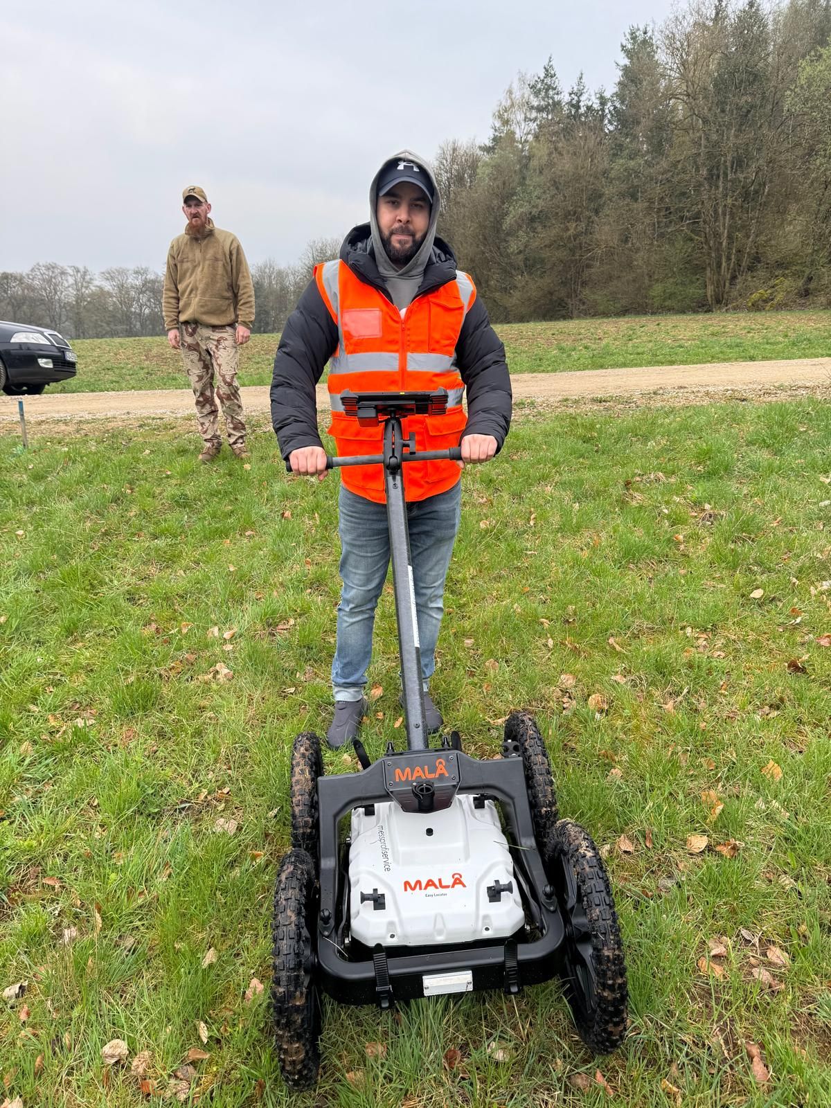

Explore the survey required in more detail or coordinate the specific question about the existing draft.

Assign historical, technical and construction-stage tasks to the proposed intervention.
Select appropriate services for the bill-of-quantities scopeConnect surveying, assessment and result handover with the project decision required.
Clarify evidence for the specification
Send plans and the existing draft with a specific question about the technical description.
Send documents for technical coordinationOnly if the task and conditions actually match. Location, depth, existing knowledge, accessibility, interfaces and evidence must be checked for the project. A template can help with structure but cannot replace missing planning information.
The description must clearly convey the required objective and relevant conditions. Whether a method is prescribed or needs further technical definition depends on the task, design stage and procurement requirements. An unsupported equipment specification alone does not make the service description informative.
The documents required should be expressly described and assigned to the service scope. Reports, plans, data formats, handover dates and limits of conclusions must be understandable to the parties. How these are divided into items depends on the specific procurement.
Visual observation alone does not replace a required proper ordnance survey. DGUV expressly distinguishes this approach from the state of the art. A service performed during construction must specifically describe suitable, controlled work and its interfaces with excavation.
The effort depends on the design information available, the number of different working volumes, unresolved method questions and the scope of results required. A complete draft with associated plans requires different work from an as-yet undefined survey task. The commission therefore identifies the specific contribution, its underlying information and the results to hand over.
Describe the intended construction state and when the area is expected to become accessible. Survey requirements and the result handover needed are coordinated accordingly. Outstanding prerequisites remain distinguishable from services already defined.
Compare the new point list with the previous documents, depths and survey volumes. Check whether the described service still matches the intervention. The coordinated design version should be traceable in both the bill of quantities and its appendices.
Stop work in the affected area, do not touch or move the object and keep your distance. In Germany, notify the police immediately on 110 and follow their instructions. Reporting the find takes priority over further specification or cost clarification; the responsible bodies arrange the safety response.
An existing draft can be discussed together with its underlying information. Identify the specific decision the contribution is to prepare.
Submit the bill-of-quantities version, site plan, project address and plot or route reference. Mark the items for which there is a technical question. For individual points, add the current point list and associated plan version. For technical work on the project documents previous and current versions are identified separately. State which items have already been agreed and where a new decision is needed.
State depth, foundation type, working volumes and planned construction dates. Communicate known utilities, existing infrastructure and access restrictions. Explain which areas can only be treated after demolition or later. Preparatory work involving ground intervention is also located spatially. If different states are assumed, explain their planned sequence. The task description can then coordinate surveying and execution.
Attach historical assessments, previous survey reports and existing conditions imposed. State which documents site management or the procuring body needs. Contacts and the desired decision date complete the technical enquiry. Reports are submitted in full with their appendices. For phased work, identify the first task to clarify and who consolidates technical questions. Existing authority correspondence receives a reference to the working volumes actually requested.
Whether historical aerial photograph analysis, explosive ordnance surveying, surface surveying using GPR, magnetometry or TDEM, deep-ground surveys, downhole surveys, excavation supervision, area clearance or ordnance recovery is needed depends on the location, ground disturbance, depth, ground and existing documents. An early ordnance assessment provides clarity for tendering, programming, occupational safety and construction.
FONTANA-EOD combines its Section 7 SprengG licence, specialists holding Section 20 SprengG certificates of competence, suitable survey and clearance methods, and traceable documentation. Send the site plan, depth of ground disturbance, construction phase and existing documents for an initial technical assessment.


