Project pathway
The quickest route to the right decision.

FONTANA-EOD tailors explosive ordnance assessments for project owners, designers and construction managers to the project location in Germany or Luxembourg. Before excavation, drilling, utility construction or site development, historical evidence, ground disturbance depth, survey feasibility and the records needed are considered together. Select the region and send the site plan, planned ground disturbance and existing documents for technical coordination.
Assess the project location.
Review suspected contamination and land use.
Prepare a sound basis for procurement.
A regional explosive ordnance assessment becomes relevant when excavation, drilling, utility trenches, routes, site development or demolition affect a potentially contaminated area. Historical air warfare, former military use, armaments or transport infrastructure, filled bomb craters and found ammunition are related to the specific volume of ground affected using the documents available. Post-war fill and existing utilities influence investigation conditions. This provides the basis for agreeing which method is suitable and which records are needed before procurement or construction begins.
Documented location references
Select a project location on the map or in the location list. The associated entries lead to the protected reference overview.
The points indicate locations associated with documented references, not precise ordnance find or site coordinates. Several entries may belong to one project. References without a confirmed location assignment are available in the complete reference overview.
Map data: © BKG (2026), VG250 / GN250, Data licence Germany – attribution 2.0. Luxembourg: ACT / data.public.lu, CC0. Area outline projected for display. Selection and project assignment: FONTANA-EOD.
Service period: 2026-09
Service areas:Downhole magnetometry / deep-ground surveySetting out and marking survey areasInvestigation and clearance plan
Service period: 2026-07
Service areas:Downhole magnetometry / deep-ground surveySetting out and marking survey areasDocumentation and interpretation of survey data
Select the region of your construction project. You will find information on regional responsibilities, historical evidence of suspected contamination and local conditions relevant to assessing your plot or construction area.
Start with the country or German federal state where the ground disturbance will take place. For a project on an administrative boundary, it may be useful to show the affected sections separately. A district boundary does not change the physical conditions of a measurement, but it may affect which authority provides information or receives a report. Project management across several areas should therefore record responsibility for each section on the same site plan. Technical documents can then be brought together without mixing different local procedures.
Also describe the actual working area. A site's postal address often identifies only the entrance, not the full area of ground disturbance. For a utility, the route and working pits matter; for a building, the excavation, including retaining works and adjoining areas. A site plan with a clearly identified revision helps everyone consider the same area. Earlier investigations are then assigned spatially. Their maps and elevation information are just as important for this as the summary assessment.
Dense settlements, industrial corridors, railway facilities, ports, utility networks and municipal construction programmes need a clear distinction between clarifying suspected contamination, technical surveying and project documentation.
Assess a project in North Rhine-Westphalia
Urban areas, Rhine-side sites, routes, commercial land and municipal civil engineering are assessed by their history, ground disturbance depth, requirements and construction sequence.
Assess a project in Rhineland-Palatinate
Border areas, former industry, transport corridors, housing and municipal sites need a clear assessment of history, terrain, construction stage and the evidence required.
Discuss a project in Saarland
In the Rhine-Main area, central Hesse and northern Hesse, access, existing utilities, evidence of bombing and excavation depth need to be clarified early.
Assess the context in Hesse
Urban development, railway and road areas, commercial land, utility construction and ground investigation projects are considered by administrative district, history and ground disturbance depth.
Assess a project in Baden-Württemberg
For Bavaria's administrative districts, the urban setting, former use, transport and armaments connections, borehole positions, excavations and required evidence all matter.
Prepare a project in Bavaria
Existing aerial photograph assessments, municipal documents and coordination with the competent authorities are brought together for the specific construction project.
Explore Lower Saxony
Port areas, logistics, utilities, transport infrastructure, fill and urban construction sites require a clear assessment of the suspected area and construction sequence.
Assess a project in Bremen
For projects in Luxembourg, the location, ground disturbance and competent authorities are established under the requirements applicable there. Existing German documents must be checked for what they establish about the specific project.
Assess a project in LuxembourgA place's wartime history alone is not enough to assess a specific plot. The available wartime aerial photographs, former military use, armaments or transport infrastructure, post-war infilling, earlier construction and planned ground disturbance are decisive.
In heavily affected cities and transport areas, unexploded bombs, filled impact sites, bomb craters, fragmentation areas and suspected points from aerial photograph assessments may be relevant. Any conclusion must always relate to the plot, route or excavation concerned.
Arrange specialist aerial photograph assessmentFormer barracks, training areas, ammunition stores, armaments sites, battle areas or transport corridors may suggest different legacy explosive ordnance from areas affected only by bombing. Depending on the location, possible items include shells, cartridges, fuzes, ammunition parts, rocket remnants, mines or other found ammunition.
Understand the find situation safelySubstantially altered construction sites often contain fill, rubble, old utilities, reinforcement, sealed surfaces and metallic interference. These factors can affect measurement methods and help determine whether surveying, borehole surveying or excavation supervision is appropriate.
Check survey feasibilityExplosive ordnance assessment involves public safety, occupational safety, responsibilities under explosives legislation, official reporting routes and project documentation. For clients, technical assessment, responsibilities and supporting records need to be prepared clearly before procurement or construction begins.
Under the regional procedures concerned, the competent authorities establish how finds are reported and public safety measures coordinated. Which tasks belong to authorities, state services or commissioned specialist contractors must be clarified for the specific project location.
FONTANA-EOD prepares historical assessment, surveying, documentation of findings and excavation supervision. The results help clients, designers and construction managers agree the next technical steps.
For tendering, project records and execution, the area, depth, methods, measurement limits, findings and responsibilities must be clearly described.
Permits, competence, risk assessment, site organisation and the response to finds must fit the project workflow.
For explosive ordnance work in Germany, permits, competence and responsibility under the German Explosives Act are related to the specific activity. The 1. SprengV also regulates matters including specialist knowledge. The relevant evidence is matched to the intended task and those responsible. § 7 SprengG concerns the commercial permit for activities requiring authorisation; § 20 SprengG concerns the certificate of competence for responsible persons. Under § 1b SprengG, searching for found ammunition also constitutes handling.
Clarify safety and qualityTechnical guidance and occupational safety information support structured planning. Their specific application depends on the project location, suspected contamination, survey feasibility and construction stage. The Baufachliche Richtlinien Kampfmittelräumung concern the defined scope of federal responsibilities. Their application to other projects is clarified with those involved for the individual project. German regulations are related to activities in Germany; Luxembourg's requirements and responsibilities are established separately.
DGUV Information 201-027 supports risk assessment and the selection of protective measures for explosive ordnance clearance. DGUV Rule 113-003 concerns dismantling or destroying explosives or corresponding objects and disposing of found ammunition, and is considered for relevant activities.
Check the process and supporting recordsA project spanning several regions needs a shared technical brief and clear assignment to each location. Project management assigns documents, queries and decisions to the relevant construction section and contact.
Identify the plot, construction section and forthcoming decision. Is historical information to be obtained, an investigation planned or the reach of an existing report clarified? These tasks need different initial data. The project owner brings the existing documents together and clarifies access to the affected areas. Services already commissioned also belong in the discussion, so that an area is not accidentally investigated twice or a gap between two commissions overlooked. Where there are several landowners, also record which area each enquiry concerns.
The design shows where and how deeply the ground will be disturbed. For inclined drilling, deep retaining works or structures extending sideways, a line on a plan is often insufficient to identify the full working volume. Also describe advance investigation works and temporary facilities where they affect the ground. Communicate changes with a date and clear drawing identifier. The specialist contractor can then check whether a previously defined investigation area still fits without rejecting the earlier report as a whole.
FONTANA-EOD assesses the commissioned explosive ordnance question using the information available. This includes investigated areas and areas still outstanding. Where a technical investigation is planned, its objective and site conditions are considered together. Installed structures, fill and restricted access can influence method selection. The agreed scope should show which question is to be answered and which information is still missing for a sound decision. New findings are passed on with their implications for the next step.
Construction managers and contractors need the documents that relate to their actual section of work. An older overview is not automatically wrong, but its scope must be identifiable. Agree who receives design changes and arranges their technical review. When the contractor changes, the areas already clarified and remaining limitations should be handed over too. This preserves the meaning of an investigation result when contacts or construction stages change. Each company's safety duties remain part of execution planning.
Information from an authority and a privately commissioned investigation report do not necessarily answer the same question. Record which body issued a communication, which application it concerns and which further action it requires. If a letter refers to a plan or appendix, that document belongs in the technical review. For cross-border projects, responsibilities are clarified for each country. A German service or record name must not be assumed to describe an identical procedural step in Luxembourg.
In Germany, the states' explosive ordnance disposal services, also known as KBD, KMBD or KRD, and locally competent authorities carry out public safety and ordnance find duties. The federal state, district or independent city, and responsible point of contact are established for the project location. The public order authority and, where relevant, building control are involved according to their duties. Luxembourg has its own responsibilities and reporting routes. The private specialist contractor carries out the commissioned investigation and its documentation.
Regional assessment does not lead to one standard service. Depending on history, surface, depth, construction stage and the evidence required, any of the core specialist services may be relevant.

Wartime aerial photographs, maps, historical records and land-use history are compared with the construction area, route and ground disturbance depth.
Assess the site history
Near-surface suspected areas are assessed according to interfering objects, access and measurement conditions.
Survey the surface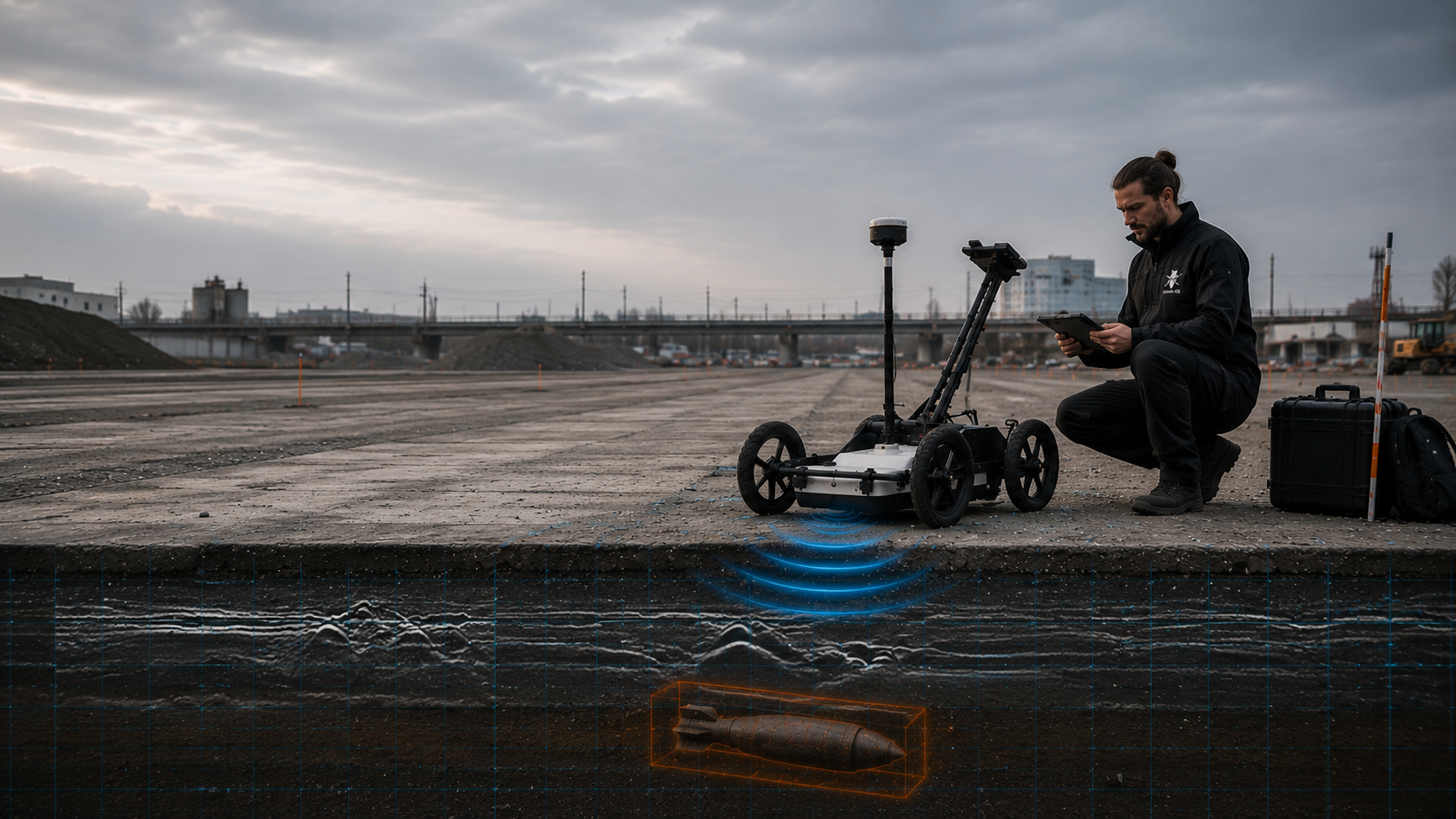
Under suitable ground and surface conditions, GPR can additionally record structural differences, interfering objects and suspected areas. Highly conductive ground can limit its range; ground structure, moisture and interference are considered at the project location.
Understand ground-penetrating radar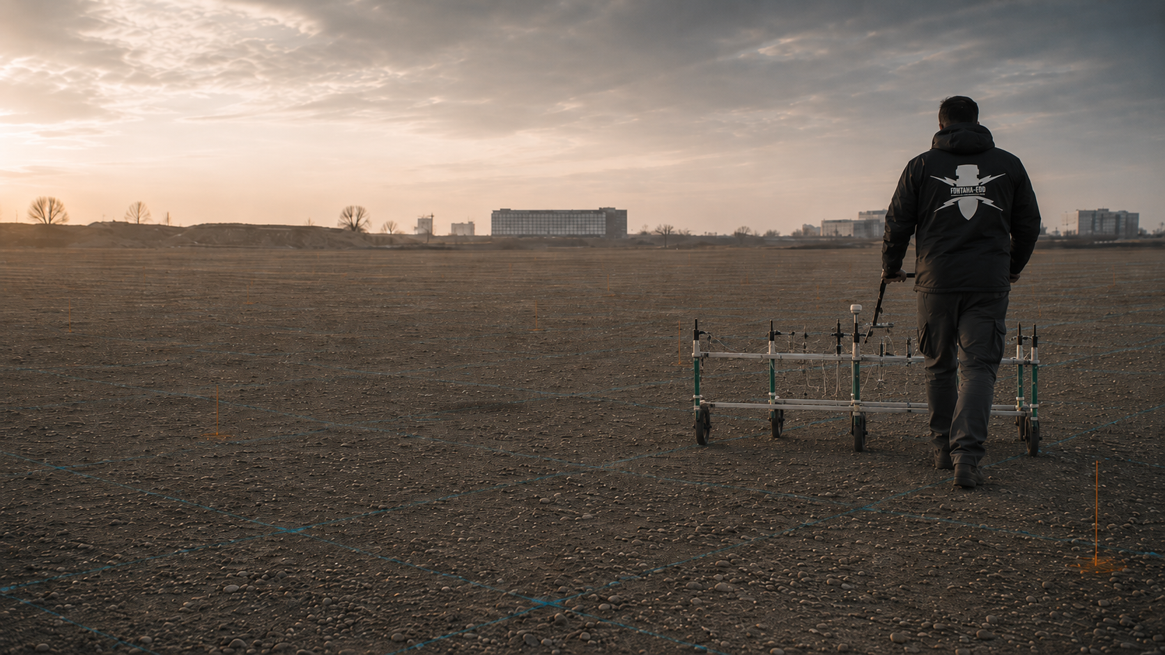
Geomagnetic measurements are relevant to ferromagnetic objects and require careful assessment in the presence of utilities, reinforcement and interfering fields.
Assess magnetometry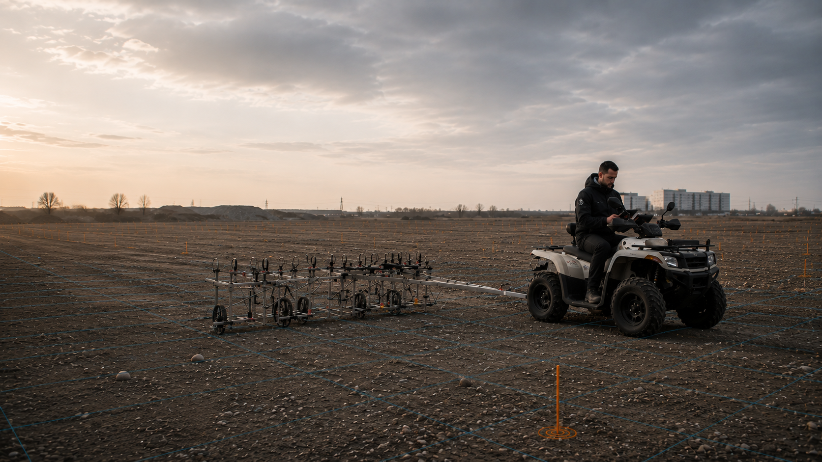
Time-domain electromagnetics can detect metallic objects in suitable investigation areas and adds to the choice of methods in certain interference and depth conditions. It records the time-dependent electromagnetic responses of electrically conductive bodies. Measurement conditions and assessment of findings determine what can be concluded about the investigated area.
Discuss TDEM
Borehole positions, piled foundations, shafts and deep excavations need an assessment that matches the actual depth of ground disturbance. Starting elevation, borehole path and final depth are compared with the ground volume required. Measurement grids, borehole positions and investigations before drilling begins depend on the specific task.
Survey at depth
Where surveying is limited or earthworks need controlled supervision, the technical investigation is integrated into excavation. Where the method is suitable, each working layer is technically surveyed and assessed before removal. Visual inspection supplements controlled excavation in layers. This continues to the agreed excavation base and, where required, at walls or slopes; the stop signal, authority to issue instructions and reporting routes are agreed before work starts.
Supervise excavation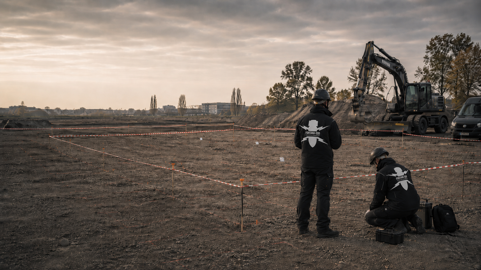
Suspected areas are professionally prepared, opened, investigated and documented where the project situation and method require it.
Clarify area clearance
For confirmed findings, the find location, responsibilities, safeguarding, recovery and documentation are incorporated into the project workflow in an organised way. Where recovery has been carried out, the clearance record documents location, depth and result, and remains linked to the finding and spatial appendices.
Prepare for recovery
The document basis, methods, findings, limitations and subsequent decision are recorded clearly for project records, procurement and construction management.
Secure the evidence trailThe technical decision follows from the region, project type and ground disturbance. Survey methods, documentation scope and construction sequences differ considerably between housing, civil engineering, utilities and excavations.
For land purchases, feasibility, land-use planning or initial procurement preparation, historical assessment is the technical starting point.
Review the site historyOnce the position and depth of ground disturbance are defined, the appropriate surface survey, deep investigation or borehole survey is considered.
Coordinate survey workFor earthworks, demolition, utility trenches or disturbed sites, explosive ordnance assessment can be integrated into excavation.
Provide specialist excavation supervisionMethods, limitations, findings and next steps must be described clearly for tendering and construction management.
Prepare documentationEvery sector and application is considered in its regional context. The same suspected contamination may call for different methods, records and construction steps depending on the project type.
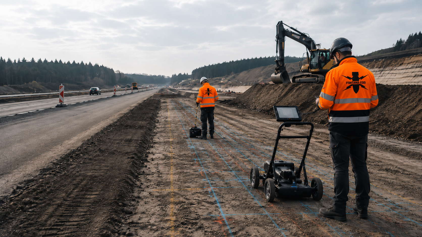
Carriageways, sewers, shafts, retaining walls, excavations and traffic areas need an assessment that follows the actual depth of ground disturbance.
Assess a civil engineering project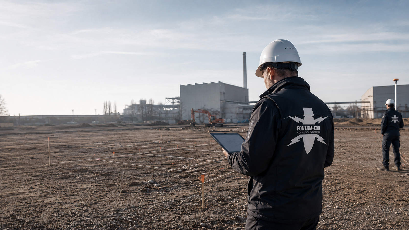
Commercial sites, production areas, former industrial sites and expansion areas are assessed according to their land-use history, interference and construction stages.
Assess commercial land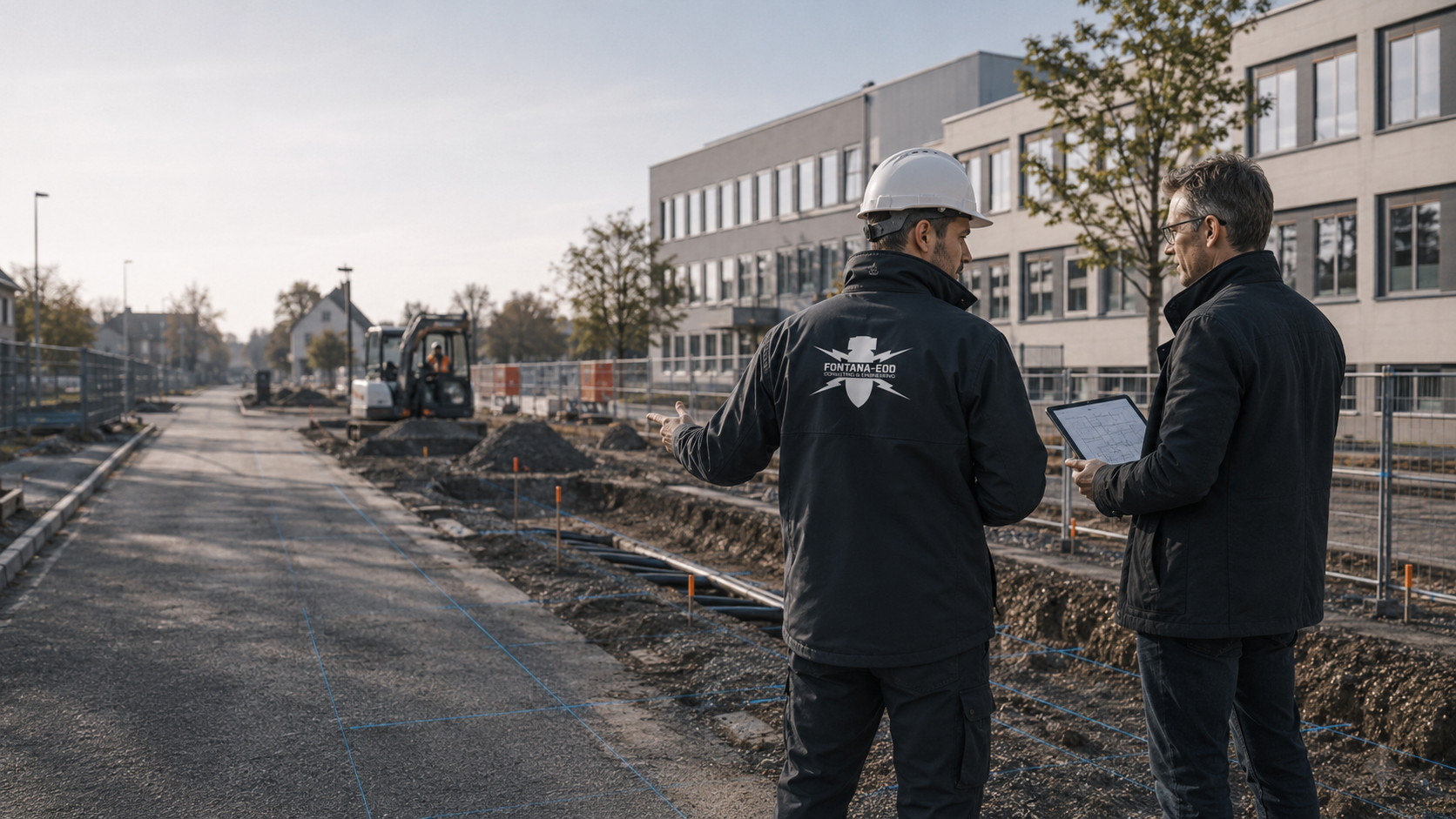
Roads, squares, schools, sewers and public buildings need clear documents for tendering, committees, construction management and coordination with public safety authorities.
Assess a municipal project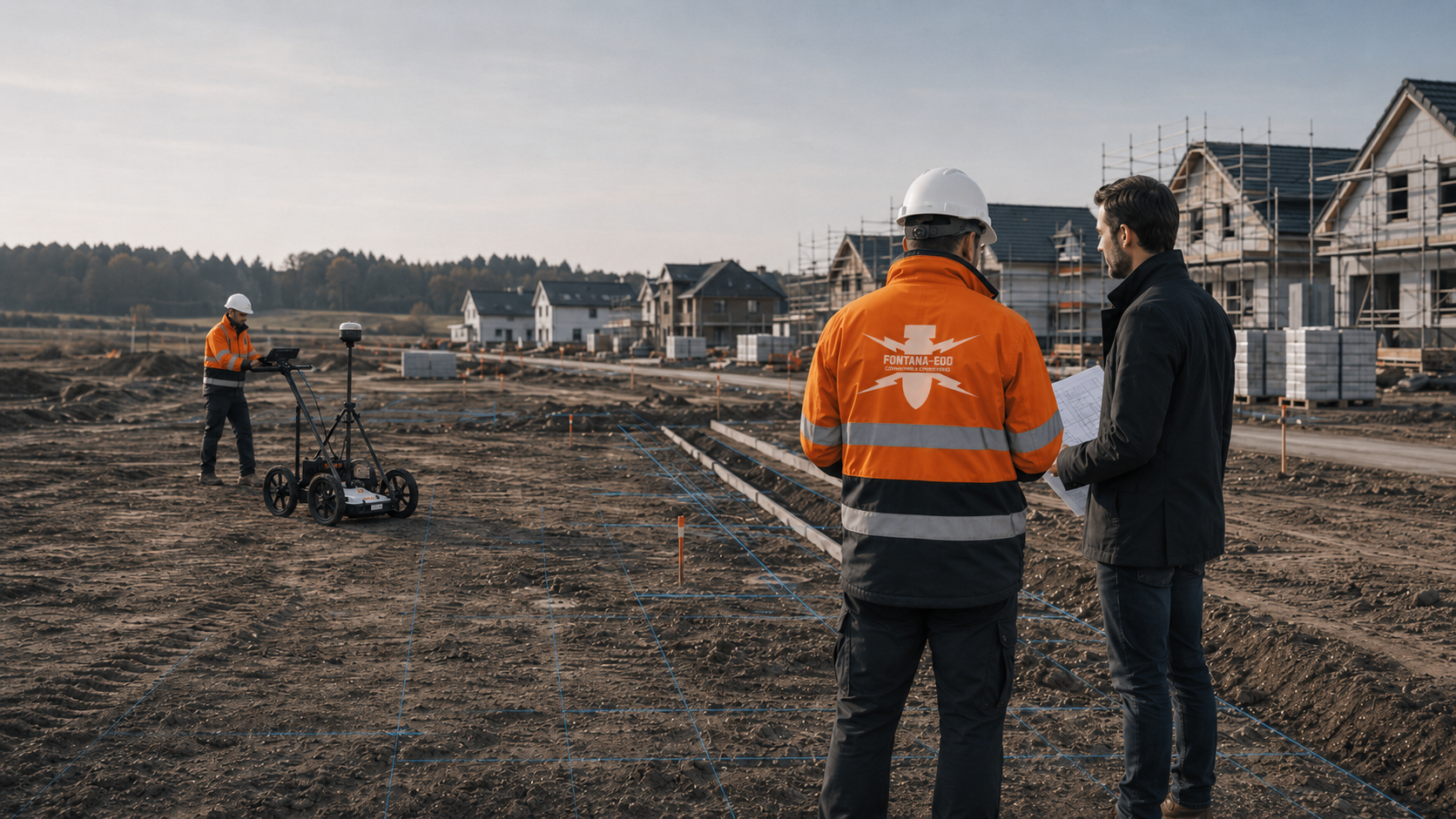
Plots, new housing areas, site roads, service connections, utility trenches and excavations are considered as a connected volume of ground disturbance.
Prepare a housing project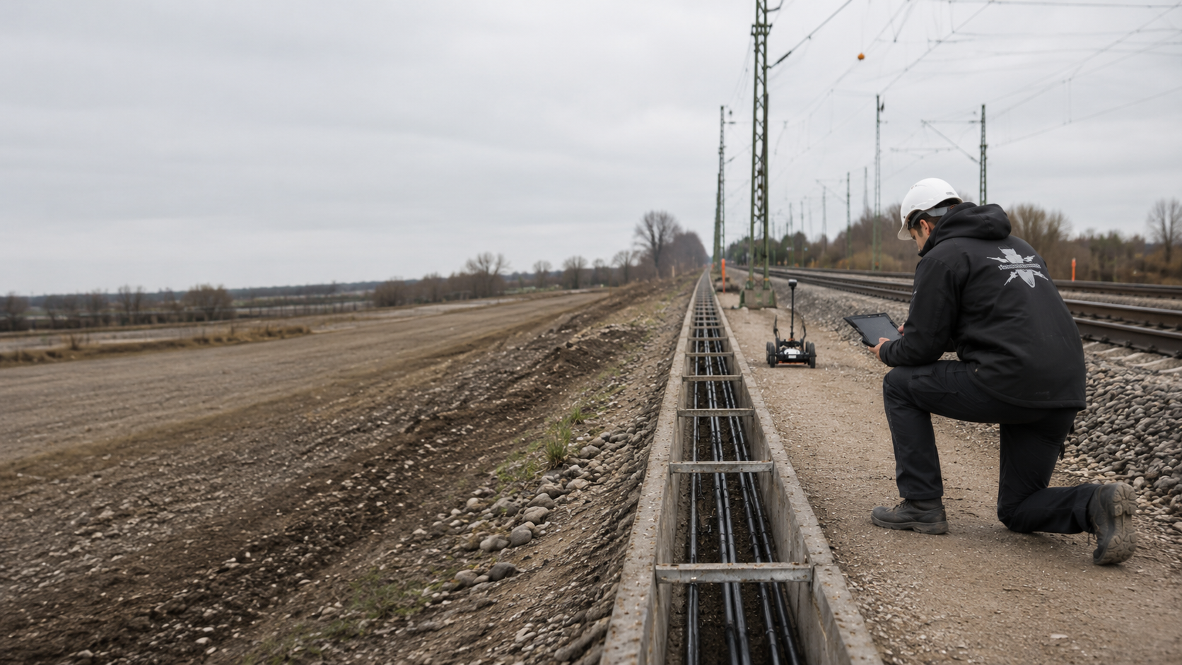
Track surroundings, cable trenches, crossings, ancillary railway land and linear sections require section-by-section assessment of suspected contamination, access and the construction sequence.
Assess a railway route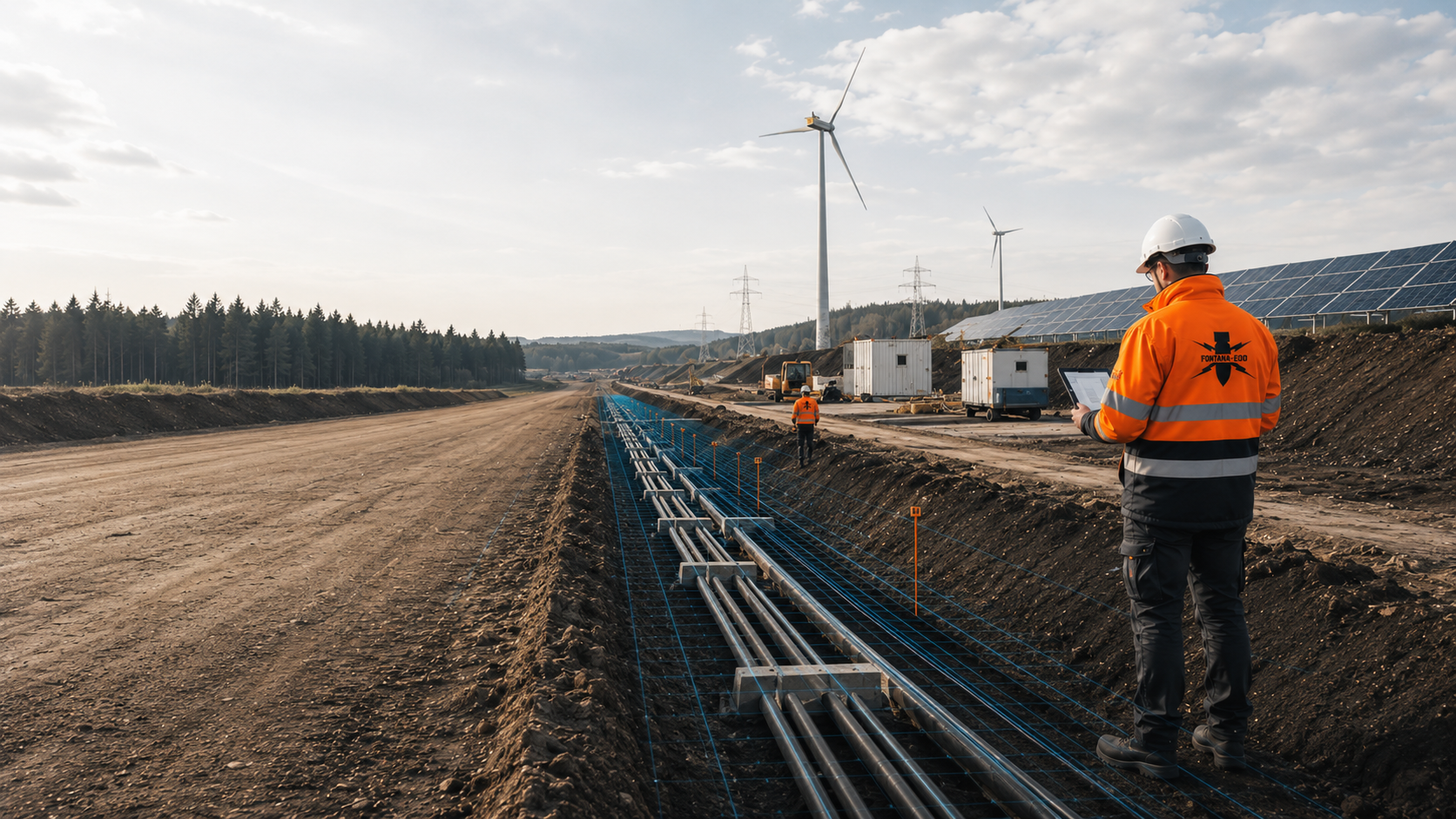
Routes, joint bays, boreholes, crossings, wind farms, solar farms and substation areas need an assessment decision for each section.
Discuss a utility project
Utilities, energy, transport, water, communications and security infrastructure require sound evidence and clear responsibilities between work stages.
Assess a critical infrastructure site
Contaminated sites, ground investigations, landfills, fill and geotechnical investigations need close coordination of borehole positions, site history and occupational safety.
Coordinate a ground investigation assessment
Transactions, insurance coverage questions, major projects and risk reports need a clear assessment of suspected contamination, the limits of evidence and the next investigation step.
Arrange a specialist risk assessmentThe address, coordinates, land parcel, site plan, construction area, route, borehole positions, ground disturbance depth and existing requirements provide the starting point.
Send project documentsA site plan should distinguish the proposed work from neighbouring areas. Also mark temporary working areas if ground disturbance is planned there. A contact who can explain design changes helps with queries. Missing documents are identified specifically so that obtaining them or adding the necessary technical information can be commissioned directly.
Aerial photographs, maps, known wartime effects, former use and regional suspected contamination data are related to the specific ground disturbance.
Commission an assessmentWhen using an existing assessment, check which document version it is based on. A report may concern an earlier construction stage and still contain useful findings. Comparison with today's project is decisive. A finding that data is missing must be distinguished from a finding of specific contamination.
Survey data, anomalies, interfering objects, measurement limits and assessment of findings are documented so that designers and construction managers can use them.
Prepare survey workA measurement finding is considered with its location, method and measurement conditions. In an area with limited interpretability, the recipient must be able to identify that the conclusion is limited there. A mapped anomaly and an identified object are different results and are described accordingly.
The evidence leads to the next technical decision: further investigation, excavation supervision, clearance, recovery or continuation of construction.
Define the purpose of the documentationFor construction managers, it is particularly important to know which next work step the result covers. This may be a clearly identified excavation, utility section or group of borehole positions. Conditions for further work and areas not yet addressed should be passed on with the result so that the conclusion is used correctly during construction.
The region, address, site plan, land parcel, route and construction objective are clearly described.
For linear projects, add chainage or clearly identified section boundaries. Individual ground investigations or foundations require the planned positions and depths. A shared drawing revision prevents an enquiry to an authority from concerning a different area from the subsequent survey. Existing investigations are included as a separate drawing layer or clearly assigned appendix. This step is based on a spatially defined task, not a blanket classification of an entire city.
Aerial photographs, maps, historical records and known information on suspected contamination are reviewed for the project.
The available information is checked to establish whether it concerns the specific area and how reliable its spatial assignment is. A historical map, aerial photograph assessment and ordnance find report each provide different information. If an appendix is missing or a suspected point has been transferred only approximately, that uncertainty is considered in further planning. Field investigation follows from the technical need. Neither a region's general wartime history nor the mere absence of an entry replaces assessment of the project.
Surveying, deep investigation, excavation supervision or clearance are selected according to the area and ground disturbance.
Before commissioning, define which area and depth are to be investigated and what conclusion is needed. Site conditions and the sequence of construction work are considered. Preparatory works can themselves disturb the ground and must therefore be included in coordination. If existing structures restrict investigation of an area, the design needs a corresponding statement and a reasoned next step. A general equipment name does not sufficiently describe this scope of services.
The specialist contractor carries out the commissioned survey or investigation during construction within the agreed area. Access, existing utilities, surfaces and the order of preparatory ground disturbance are coordinated with construction management. Measurement data and findings are assigned position, elevation and depth references. Inaccessible areas and restricted measurement conditions are recorded.
The results are compared with the investigation objective and planned ground disturbance. Anomalies, identified objects and outstanding areas are described separately. Required further investigations or work on confirmed findings are agreed with the responsible parties. Remaining tasks and conditions are stated for the following construction section.
Results, limitations and subsequent decisions are documented for project records, procurement and construction management.
Results are handed over with their spatial reference and the conditions essential to their use. For a later construction section, it must remain identifiable whether it lies within the investigated area. New plans or changed reference elevations are therefore compared with earlier documents. A report does not gain a wider scope merely by being copied into a new project file. A clear summary refers to the relevant appendices and identifies outstanding tasks for the next ground disturbance.
For construction sites with an unclear history, the relevant regional level, authority and document basis are established.
Have the site assessedBefore tendering, historical evidence, ground disturbance depth and the scope of services are brought together in a verifiable description.
Prepare procurement documentsFor excavation, drilling and utility trenches, the technical assessment is tailored to the actual ground disturbance.
Arrange a specialist assessment of the ground disturbance
Aerial photographs and historical records indicate where technical investigation should usefully be directed.
Request an assessment
Deep ground disturbance needs a different assessment from near-surface area investigation.
Discuss deep investigation
Where surveying is restricted, the investigation can be integrated into controlled excavation.
Consider excavation supervision


From aerial photograph assessment to excavation supervision, the specialist service is selected according to location, area and ground disturbance.
Understand the services
The assessment basis, methods, findings and limitations are brought together clearly.
Prepare evidence
A site plan, ground disturbance depth and project stage provide the starting point for the regional technical assessment.
Submit a projectFor a route, expansion programme or several building plots, every technical conclusion must remain assigned to its geographical area. Shared project organisation makes coordination easier. It does not automatically make different document versions, site conditions and investigation tasks comparable.
Give clear identifiers to the sections covered by enquiries and investigations. A section may include several land parcels or concern only part of a plot. What matters is showing the actual ground disturbance on the site plan. Use the same identifiers in the construction sequence, investigation concept and results documents. Queries can then be assigned to a particular section without redescribing the entire project.
At an administrative boundary, the section limits should be clear to everyone involved. If technical working areas overlap those boundaries, the necessary coordination is brought together accordingly. Different case references may concern the same construction work; the geographical meaning of each remains documented.
Send sections with a site planA depth needs an identifiable reference. Is it measured from the existing ground surface, a later formation level or an elevation marked on the drawing? Different construction sections may have different ground levels. Copying a number unchanged may then describe a different volume of ground. Always provide the vertical datum and associated drawing version.
For ground investigations, piles, retaining works and inclined drilling, the actual working volume forms part of the brief. The technical assessment compares this volume with the area already investigated. Missing details are clarified before the next affected work; a matching plot number or project name alone does not replace this comparison.
Assess the investigation for the planned depthWhen ownership or plans change, reports from earlier construction projects are often taken over. Their further use requires the original investigation brief, site plans, results and stated limitations to be considered together. A cover page or single concluding sentence will generally not identify the full spatial scope.
Also provide appendices and supplementary correspondence. The technical query should identify which new ground disturbance is to be compared with the earlier result. Useful findings can then continue to be used, while additional areas, new depths and different construction methods are identified specifically. Decisions on further investigation follow from this concrete comparison.
Bring reports and spatial references togetherA traffic area may be accessible only at certain times while neighbouring construction areas can already be investigated. Surfacing, vegetation and existing facilities also change working conditions. Record which areas are accessible when and what preparatory works are planned to enable access.
Investigation planning can then proceed section by section. Results from an accessible area are not transferred unchecked to a section not yet addressed. Construction management can identify which work is next and which documents must be available for it. If the construction sequence changes, the technical sequence is compared again with the actual ground disturbance.
Coordinate assessment and earthworks in timeWhen the designer, construction manager or contractor changes, results are often passed on in shortened form. Handover therefore includes a clear presentation of investigated areas and outstanding tasks. Inaccessible areas, restricted measurement zones and assessments still outstanding remain visible alongside the result.
The receiving party needs a clear connection between the plan, report and forthcoming work. The relevant document versions are identified and outstanding queries assigned to a responsible person. A project overview helps with orientation while the complete technical documents remain available for the actual work.
Prepare the results handover for construction managementFor projects with sections in Germany and Luxembourg, the project location, commissioned specialist service and competent authorities are clarified specifically for each country. A shared commission may need a consistent technical overview without making individual official steps or document names equivalent.
The project file therefore records which section and task a letter or report concerns. Existing investigation data can be assessed technically; its use for new work is matched to the actual ground disturbance planned. Translations should preserve the original conclusion and its limitations clearly. Similar terminology does not confer additional official or technical validity.
Describe cross-border project sectionsFONTANA-EOD tailors the commissioned specialist service to the construction task described and the available documents. For several project locations, common requirements are brought together and site-specific differences stated explicitly. These include the specific investigation area, local working conditions and the conclusion needed for the next construction section. A consistent presentation helps clients compare without treating different investigation statuses as equivalent.
Technical coordination records which information is available and which queries remain unanswered. Changes to the drawing or working area are assigned to the relevant section. Project management can then communicate the status of individual sections without making a blanket statement about the whole project.
Coordinate locations and investigation tasksThe project location, site plan, ground disturbance depth and decision sought are identified for each section. Differences in available documents remain visible. A shared enquiry format helps supply missing information directly and make sensible use of existing findings.
Utilities, installed structures, surfaces and access are considered at the location affected. A method that worked on another project is not adopted solely because the place name or building type is similar. Its suitability for the specific investigation question is decisive.
An unknown depth, moved borehole position or missing plan concerns a particular task. The query identifies this connection. Project management can then respond directly while sections already clarified retain their documented status.
The report includes the relevant plans and stated investigation limits. This connection is preserved when documents are passed to others. The summary provides orientation and leads to the appropriate complete document.
For a clear enquiry, it helps to identify geographical responsibilities, historical findings and technical investigation separately. These terms describe different tasks within the same construction project.
The project location identifies the geographical context of the work. The investigation also needs the actual area and depth of ground disturbance. A postal address or municipal boundary does not fully describe this working volume.
Provide the location and working volumeThis refers to the information from which further technical assessment follows. Its spatial reference and evidential value are considered. A general historical description of a place does not replace an assessment related to the construction area.
Assess the historical documentsThis means the spatially and technically defined scope of an investigation. Area, depth, method and limitations belong together. A conclusion for one section is not transferred to a neighbouring area solely because it is nearby.
Assign the investigation task to a serviceIt describes which task and areas the result concerns. If the design changes, the new ground disturbance is checked against that scope. The report and its appendices are used together for this purpose.
Read the conclusion with its supporting evidenceIf you suspect an explosive ordnance find, immediately stop work at the find location. Do not touch, move or uncover the object further. Leave the immediate area, keep your distance and keep others away without putting yourself at risk. In Germany, immediately call the police on 110; outside Germany, use the local emergency reporting route. The competent authorities determine the next steps. Inform construction management and the client; internal communication must not delay the emergency call.
Depending on the location, possible items include unexploded bombs, shells, ammunition parts, fuzes, cartridges, ammunition remnants, mines, rocket remnants or other found ammunition. A reliable conclusion requires assessment of the specific area.
It is useful when, before design, procurement, drilling, excavation or site development, it is necessary to establish whether wartime effects or suspected points affect the area.
Useful information includes the address, coordinates, land parcel, site plan, construction area boundaries, route, ground disturbance depths, utility plans, construction stage, requirements and existing earlier assessments.
The competent authorities decide on public safety measures under the applicable regional procedures. Responsibilities for safeguarding, further handling and recovery are agreed with them. Commissioned specialist services depend on the commission and the authorisations applicable to it.
The area, ground disturbance depth, available documents, ground structure, metallic interference and access define the investigation task. Required preparation, analysis, work on findings and documentation add to it. For several locations, the services actually needed and quantities still to be established are described separately. Send the site plan, construction objective, ground disturbance depth, construction stage, known requirements and evidence sought so that the quotation can be discussed.
It may contain information relevant to technical preparation. Its investigation results, however, apply to the documented area and conditions described there. For your own project, the location, depth and document scope are compared. A neighbouring plot does not provide substitute evidence for an area not yet investigated.
Send an overview and identify each construction section with its location, position and ground disturbance depth. Assign existing reports and official correspondence to the relevant section. Technical project coordination can be shared; local responsibilities and requirements are clarified separately for the locations concerned.
For a larger project, an initial enquiry can describe one time-critical section. Mark which other areas are intended to follow later. The current commission can then be limited spatially while the later extension remains in view. The boundaries of the first section also belong in the results documents; they must not be treated as the whole project area when passed on.
The address, coordinates, land parcel, site plan, construction area boundaries, route and adjacent uses describe the spatial assessment area. For several locations, state the country, federal state or administrative area, and associated section identifiers.
The excavation, excavation depth, borehole positions, utility trenches, foundations, retaining works, construction period and procurement status determine the technical assessment needed.
Earlier assessments, requirements, aerial photograph assessments, utility plans and tender documents show which evidence is needed. Send complete reports with appendices and existing official correspondence. State contacts, access options and the date by which the technical conclusion is needed.
Whether historical aerial photograph analysis, explosive ordnance surveying, surface surveying using GPR, magnetometry or TDEM, deep-ground surveys, downhole surveys, excavation supervision, area clearance or ordnance recovery is needed depends on the location, ground disturbance, depth, ground and existing documents. An early ordnance assessment provides clarity for tendering, programming, occupational safety and construction.
FONTANA-EOD combines its Section 7 SprengG licence, specialists holding Section 20 SprengG certificates of competence, suitable survey and clearance methods, and traceable documentation. Send the site plan, depth of ground disturbance, construction phase and existing documents for an initial technical assessment.


