Project pathway
The quickest route to the right decision.

The explosive ordnance services you need depend on the proposed works. We review the site plan, intervention depths and existing records. We then agree with you whether aerial photograph analysis, technical surveying, specialist construction supervision or clearance is required and which results must be documented.
Assess the site and records.
Agree methods and depth.
Document project-specific results.
The appropriate service depends on suspected ordnance, the construction phase and proposed ground disturbance. Area-wide investigations, deep borehole locations and ongoing excavation require different methods.
The site plan, intervention depth and existing records help identify which investigation supports the next project step.
The scope for “Neuss — renewal of KrBw over route 2534 and EÜ Xantener Straße Neuss / Germany” included downhole magnetometry.
Service period: 2026-10
Service areas:Downhole magnetometry / deep-ground survey
View project details · Deep-ground and downhole surveys · Project location: Neuss
Service period: 2026-10
Service areas:Downhole magnetometry / deep-ground surveySurface surveys: GPR, TDEM and magnetometryMethod used in this project: Ground-penetrating radar
View project details · Deep-ground and downhole surveys · Region: Lower Bavaria
View project details · GPR and limitations · Region: Lower Bavaria
The need for explosive ordnance assessment and surveying is not determined by site size alone. The project stage, type of ground intervention, existing indications of suspected ordnance, technical constraints and the decision needed after the work all matter.
Before purchase, a change of use, land-use planning or site development, establish whether historical evidence, previous uses, known finds or existing statements provide grounds to suspect explosive ordnance within the proposed construction site.
At this stage, defining the relevant area is the priority. The result should identify subareas needing further assessment and whether a technical investigation must be prepared for the later ground intervention.
Assess historical evidence of suspected ordnanceBefore procurement, the investigation area, intervention depth, service objective, qualification requirements, interfaces and required documentation must be clearly defined. A general item called “explosive ordnance surveying” is usually insufficient for comparable cost estimates.
Where suspicion is confirmed or defined more precisely, a clearance plan, quality requirements and clearance or completion documentation for the area actually worked may also be required.
Prepare tendering and documentationSurface surveys may suit development sites, paved areas, route sections and near-surface earthworks. Selection of magnetometry, TDEM, GPR or a combination depends on the target and survey environment.
Hard surfacing, utilities, reinforcement, scrap metal, moisture, access and the depth for which conclusions are needed must be assessed before commissioning.
Understand surface survey requirementsGround investigation boreholes, piles, sheet piles, anchors, masts and deep foundations require assessment of the subsequent working envelope. An area-wide surface survey does not automatically answer this depth-related question.
Planning requires coordinates, target depth, diameter, drilling or installation method, safety distances and information on utilities and existing structures.
Assess borehole locations and depthWhere existing buildings, fill, utilities or strong interference limit prior investigation, excavation supervision may be integrated into site operations. It follows the actual ground intervention and requires clear work organisation.
Excavation layers, equipment use, lines of instruction, hold points, briefings, action on finds and documentation are agreed with site management and contractors before work begins.
Agree excavation supervisionWhere an authority has already imposed a condition, its spatial scope, required records and unresolved project decision are considered together. The resulting specialist service is tailored to the actual ground intervention.
A survey anomaly, an interfering object and an actually discovered suspicious object must be distinguished. Depending on the findings, further detection, exposure, area clearance, ordnance recovery or involvement of the competent authorities may be required.
The follow-up decision is based on location, condition, working environment, clearance objective and regional responsibilities.
Understand findings and recoveryExplosive ordnance survey and disposal services build on one another technically, but not every project needs every service. Each addresses its own question and provides a clearly defined basis for the next step.
The site plan is used to check whether proposed works affect a suspect area. Ground construction, utilities and other interfering objects may limit surveying. The report identifies the investigated area, depth and unresolved questions. These determine whether more data, another method or investigation of individual anomalies is needed.
Buildings, fill, utilities or strong interference may hinder surveying before excavation. The suitability of excavation supervision for the works is then assessed. Anomalies or findings may require further clearance or recovery. The approach, area worked and results are documented.
Task: Relate historical aerial photographs, maps, archives, previous uses and existing evidence to the actual project area.
Result: Spatially justified suspect areas, unresolved data gaps and a recommendation on the need for technical investigation or further records assessment.
Task: Investigate defined areas or near-surface intervention envelopes using a geophysical method suited to the target and ground.
Result: Georeferenced survey data, mapped anomalies or interfering objects, identified limitations and a specialist follow-up decision.
Task: Investigate the point and depth envelope relevant to boreholes, piles, sheet piles, anchors or comparable deep interventions.
Result: Point-specific survey and assessment records stating geometry, survey depth, interference and further measures required.
Task: Provide specialist supervision of earthworks in areas with suspected ordnance or limited preliminary investigation, and integrate the response to anomalies into the construction sequence.
Result: Layer- and section-specific records, documented hold points, communication of findings and traceable assessment of the supervised working area.
Task: Expose and assess defined suspect points or affected areas against the clearance objective, and secure or recover identified ordnance within the permitted scope of activity.
Result: Clearance and findings records, spatially referenced evidence, documented handovers and clear boundaries for unresolved areas.
Task: Bring together the clearance objective, working limits, methods, quality assurance, responsibilities and documentation for the specific project.
Result: Verifiable project and completion documentation clearly describing the area and depth actually worked, limitations of the conclusions and the way forward.
An explosive ordnance survey method is not selected by familiarity or equipment availability. What matters is whether it can detect the suspected target within the proposed working envelope under the existing ground and interference conditions. Selection establishes the survey objective, limitations and any necessary supplementary measures together.
Historical aerial photograph analysis may first be needed before design or tendering. Accessible areas may be investigated geophysically. For boreholes, piles, sheet piles and other deep interventions, the relevant points and depths must be assessed separately. Suspected ordnance and your construction plans are decisive.
Historical aerial photograph analysis establishes the basis for suspicion using available sources; image quality and temporal coverage limit the conclusions. The report documents suspect areas and data gaps. For area clearance, the clearance objective, access and findings determine the work; clearance records identify areas worked, handovers and unresolved issues.
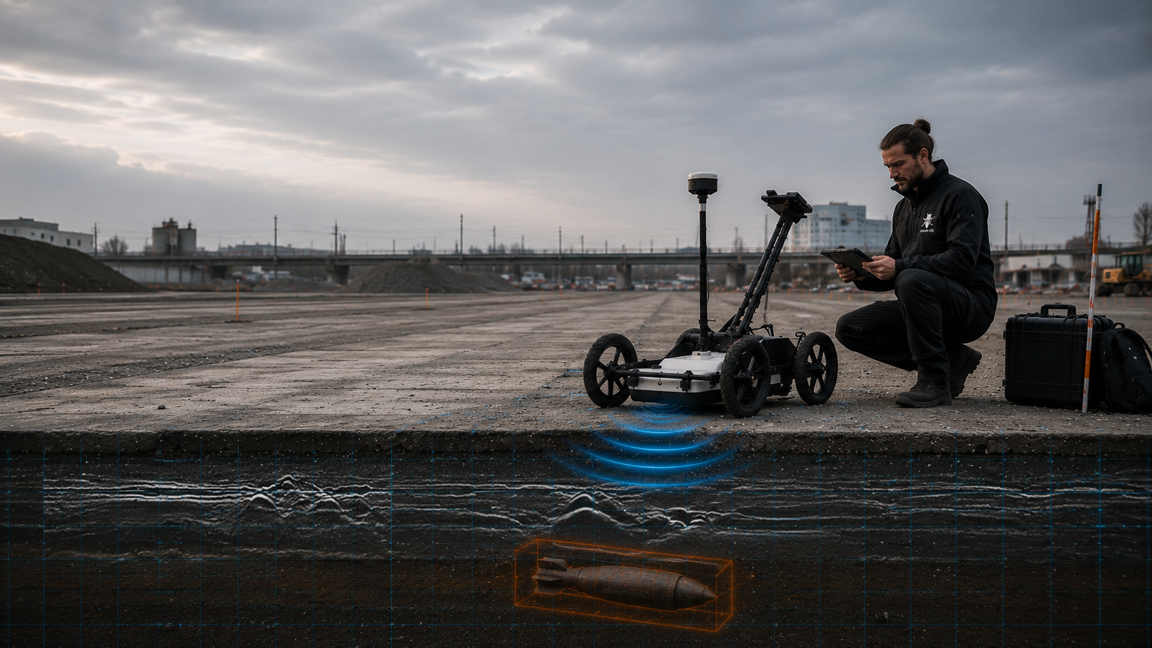
Can reveal structural differences, buried infrastructure and material changes in the ground. Suitability depends particularly on ground construction, moisture, hard surfacing, interference and the depth for which conclusions are required.
Profiles and interpreted structures show the investigated area; investigation limitations and unresolved areas are stated in the result.
Request a technical assessment of GPR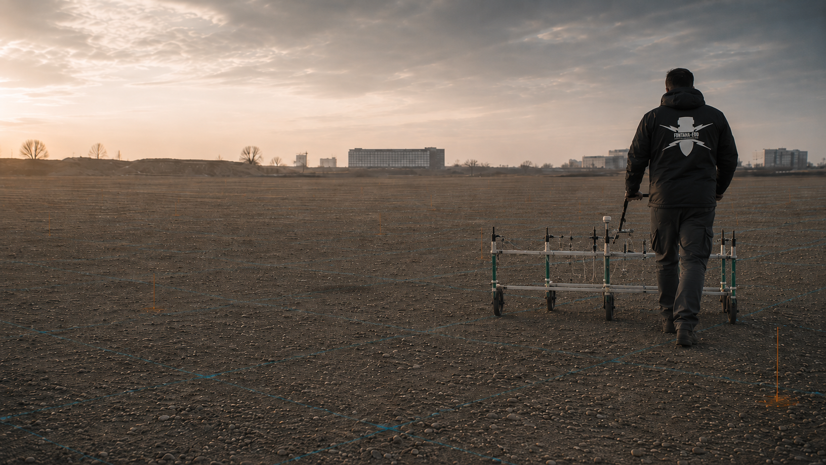
Particularly relevant for ferromagnetic targets. Utilities, reinforcement, vehicles, scrap metal and other magnetic interference may limit surveying and interpretation.
Survey data and the anomaly plan record locations, assessed signals and interference zones. A magnetic signal alone does not identify explosive ordnance.
Request a technical assessment of magnetometry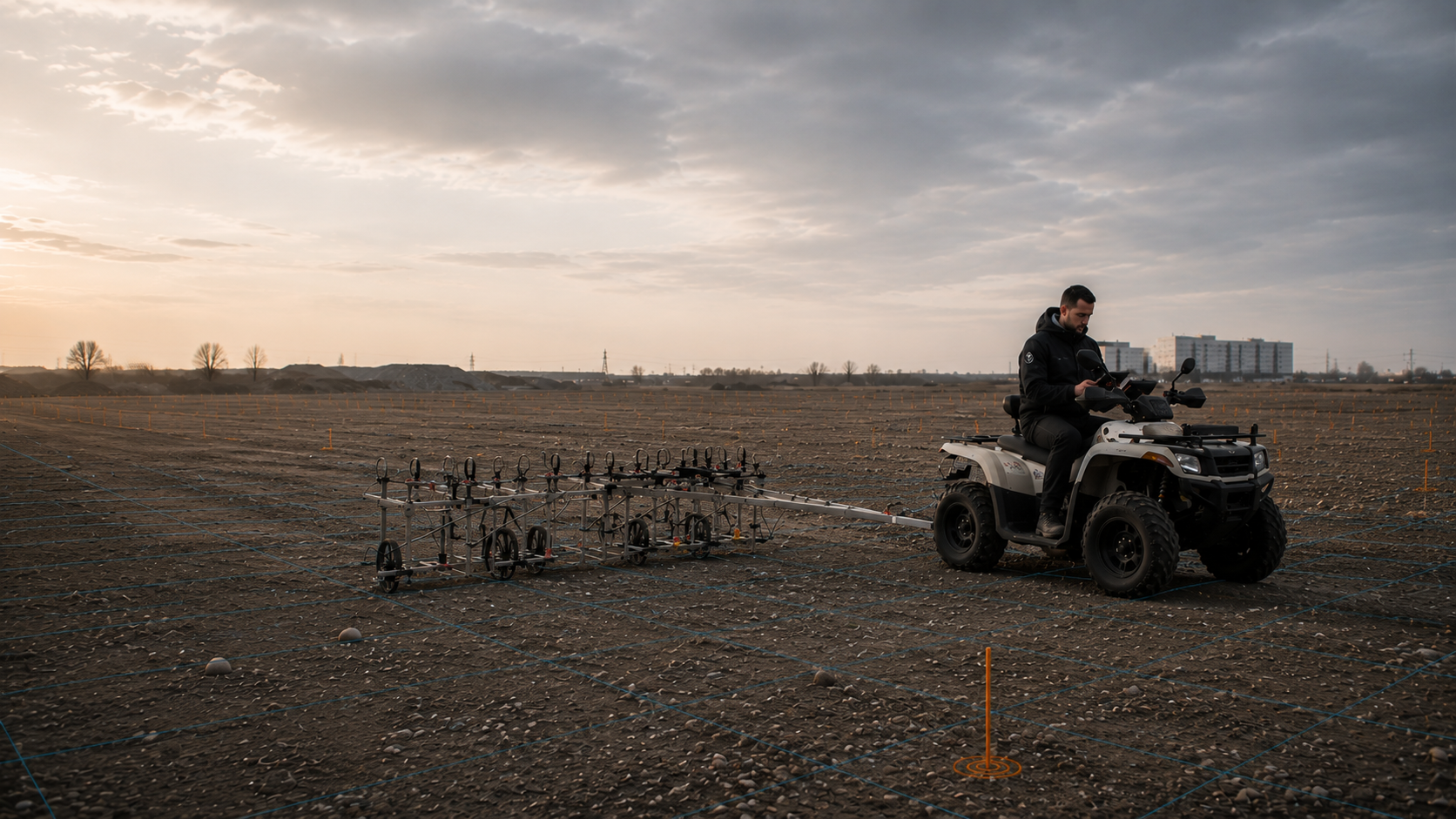
Records electromagnetic responses from conductive objects and can help distinguish certain anomalies. The target, depth, ground and electromagnetic interference determine the conclusions that can be supported.
The survey and interpretation report locates the responses and identifies limitations. An anomalous response is initially a survey finding requiring assessment.
Request a technical assessment of TDEM
Investigates defined point and depth envelopes for boreholes, piles or other deep interventions. Survey geometry, borehole spacing, target depth, casing and subsequent working methods must be coordinated.
Utilities, casing and nearby metal objects may affect survey data. The record states point location, investigation geometry, depth and limitations together.
Request a technical assessment of deep-ground surveying
A technically suitable explosive ordnance survey during construction is tailored to the actual excavation envelope. Technical surveying and a specialist decision precede each stage of soil removal; removal in layers then takes place under additional visual supervision. The sequence repeats for subsequent layers and requires clear lines of instruction, hold points and documentation.
Inaccessible working envelopes and changing construction conditions may limit supervision. Section-specific field records show which excavation layers were actually supervised.
Request a technical assessment of excavation supervision
No method is universal. On heterogeneous sites, methods may be combined, subareas assessed separately or unsurveyable zones addressed through deep-ground surveying, exposure or excavation supervision.
Understand the investigation designThe same suspected hazard may create different requirements for explosive ordnance assessment, surveying and the construction sequence in different sectors. Linear routes, urban excavations, industrial sites and municipal projects differ in access, intervention depth, closure periods, documentation and coordination.
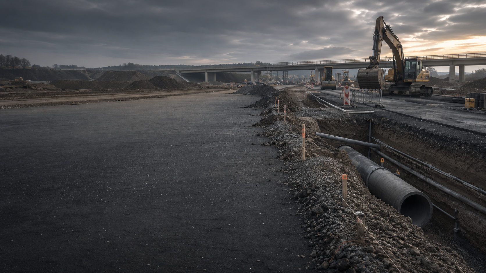
Excavations, sewer construction, paved areas and earthworks combine varying depths with tightly coordinated construction. Surveying, excavation supervision and documentation must be planned by section.
Assess road and civil engineering requirements
Linear projects need clear chainage, working widths, possession windows, crossings and documentation that unambiguously identifies every investigated section.
Assess railway and route requirements
Cable and pipeline routes, mast locations, substations and network connections require assessment by installation depth, crossing, borehole location and assembly area.
Assess utility and energy project requirements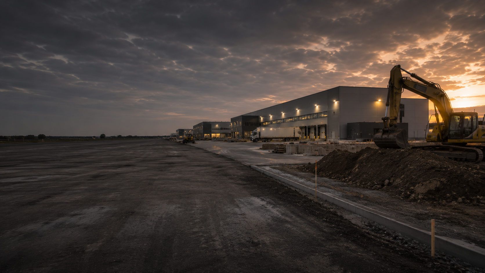
Existing installations, foundations, utility networks, fill and magnetic or metallic interference affect surveyability, working areas and supplementary measures.
Assess industrial site requirements
Public-sector clients need service specifications suitable for procurement, clearly defined responsibilities and verifiable records for administration, design and site management.
Assess municipal project requirements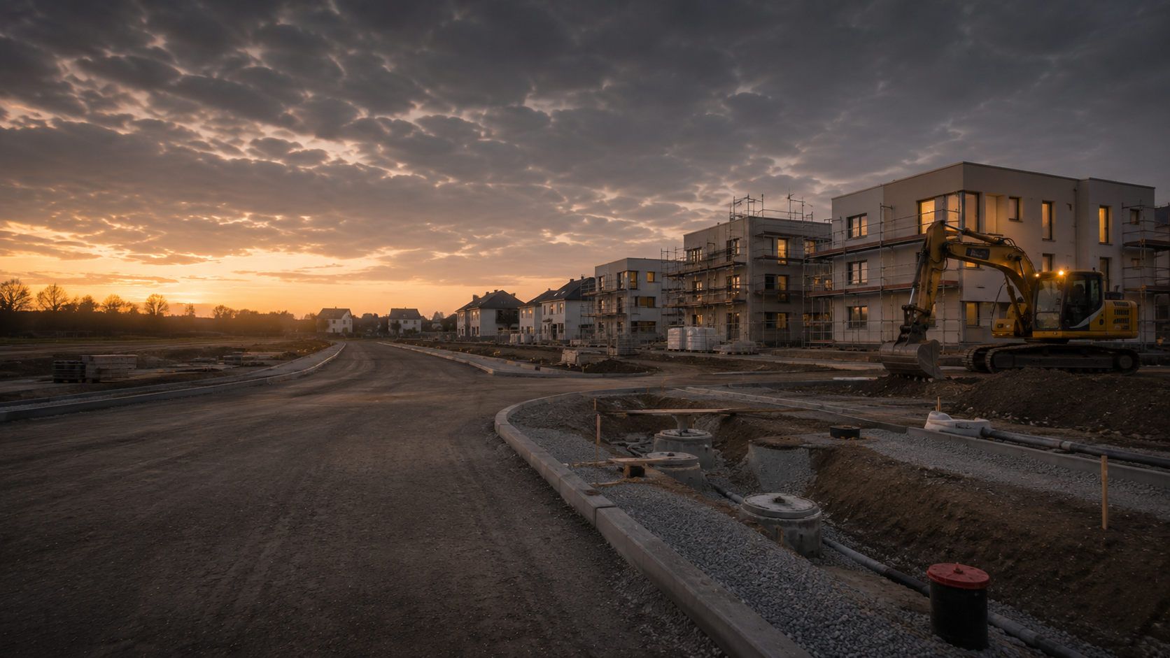
New developments and neighbourhoods combine area assessment, utility provision, ground investigation and subsequent individual construction sites. The work should be structured for delivery in sections.
Assess site development requirements
Energy, water, transport and communications facilities require robust safety, access and documentation processes. Operating conditions, protected areas and reporting arrangements inform work preparation.
View sectors and applications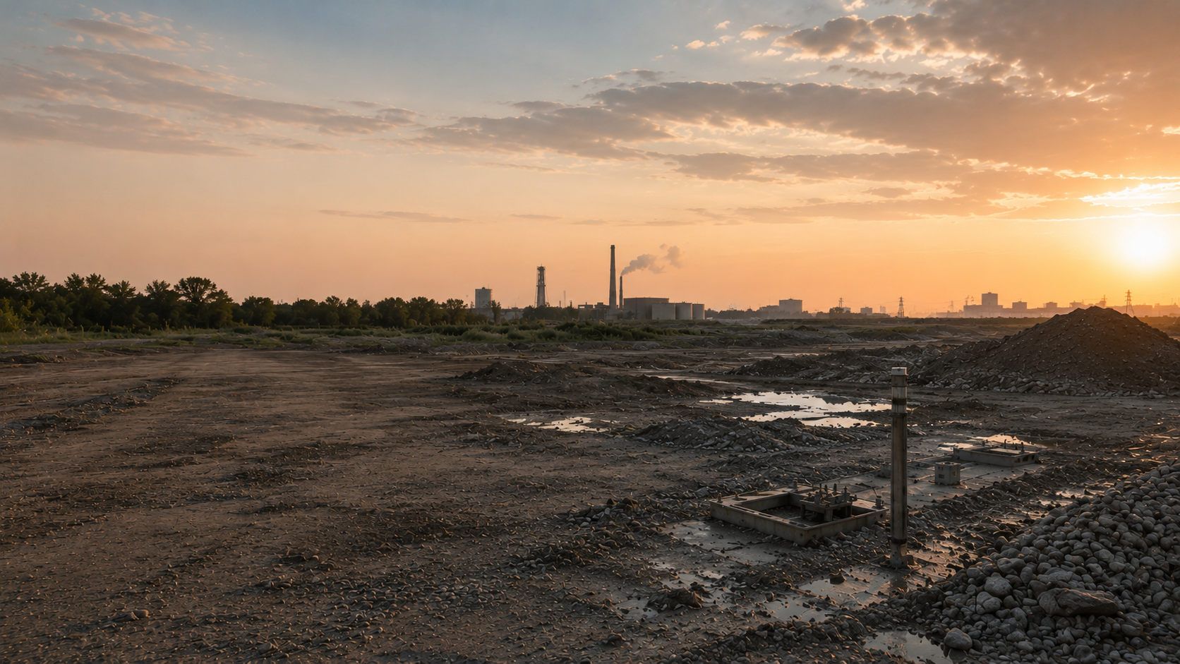
Drilling, sampling, surveys and remediation may enter areas with suspected explosive ordnance. Ordnance, contaminated-land and geotechnical questions are treated as separate disciplines with coordinated work sequences.
Assess environmental and geotechnical requirementsFor project insurers and those responsible for risk, a traceable basis for suspicion, clearly defined work areas and documented residual uncertainty are essential to assessment and communication.
View sectors and applicationsA specialist service becomes fully usable for construction only when its starting position, scope, methods, findings and limitations are brought together transparently. Documentation must remain understandable to people who were not involved in fieldwork.
The project description, site plan, land parcel, coordinate system, construction site, route, chainage, borehole locations and working limits establish the spatial basis. Changes during execution are updated traceably.
Historical assessments, authority information, earlier records, known finds and project requirements are documented with source and area references. Contradictions and missing information remain visible as unresolved issues.
The measurement principle, grid, survey direction, investigation depth, borehole geometry, excavation layers, ground, surface, access and interference are described so that the conclusions can be assessed technically.
Raw and interpreted data, anomaly schedules, site plans, depths, field records and findings documentation must agree. Automated processing does not replace specialist plausibility checks.
Utilities, reinforcement, large interfering objects, vehicles, structures, vegetation or inadequate access may limit investigation. These areas are identified spatially and assigned an appropriate follow-up measure.
For exposure, clearance or recovery, the work scope, findings, handovers and quality checks are documented spatially. Completion or clearance documentation describes the status achieved without extending conclusions beyond the area actually investigated.
The sequence is tailored to the available records, project phase and construction method. Each step answers a specific question and provides a basis for the next.
The location, project type, construction phase, intervention, depth, timing and required conclusions are described clearly.
Site plans, land parcels, routes, borehole locations, earlier records, utilities and conditions are checked for completeness and unambiguous spatial references.
Existing historical evidence is compared with the current site plan. If records are insufficient, the research or aerial photograph analysis needed for the project is carried out. Results identify areas relevant to further investigation planning and whether technical surveys are required.
The target, depth, ground, interference, construction sequence and documentation objective determine the appropriate service or combination of methods.
Access, exclusion areas, briefings, equipment use, lines of instruction, hold points and communication are agreed before work begins.
Surveying, specialist construction supervision, exposure or clearance is carried out with spatial references using the agreed methodology.
Measurements, anomalies, exposed objects and limitations undergo specialist plausibility assessment against the investigation or clearance objective.
Reports, plans, records, limitations and the follow-up decision are prepared for the project file, tendering or site management.
Service stages are not interchangeable. What matters is the project question, the area and depth to which the result applies, and the limitations relevant to the next decision.
Answers: Whether and where historical evidence provides grounds to suspect explosive ordnance.
Scope of application: Assessment is based on the historical sources analysed. Where suspicion is justified, a suitable technical investigation establishes present-day conditions.
Magnetometry detects magnetic anomalies, particularly those associated with ferromagnetic objects. Utilities, reinforcement, vehicles and other magnetic interference may limit interpretation.
Documentation identifies the survey area, data quality, assessed anomalies and zones that cannot be assessed adequately. Conclusions remain tied to the target and survey conditions.
GPR records reflections caused by subsurface contrasts. Ground construction, moisture, attenuation, hard surfacing and existing installations determine investigation capabilities.
Profiles and interpreted structures document the investigation. The method is used according to its suitability for the actual target and may supplement other investigations.
TDEM records electromagnetic responses from conductive objects. The target, depth and electromagnetic interference affect whether an anomaly can be interpreted for the task.
Survey data and spatially referenced anomalies supplement the project file. An electromagnetic response alone does not identify an item of explosive ordnance.
Answers: Which relevant signals are detectable within the defined point and depth envelope of a subsequent intervention.
Scope of application: Conclusions remain tied to the defined investigation geometry. Neighbouring subareas need their own investigation reference.
Answers: How excavation actually carried out was supervised by specialists within defined layers and areas.
Scope of application: Documentation identifies the supervised areas, depths and construction conditions. Changes to the sequence are compared with previous results.
Answers: How defined suspect points or affected areas were exposed, assessed and worked.
Scope of application: Documentation applies to the agreed clearance objective and the area and depth actually worked.
Answers: The work status achieved within the documented area and the limitations that remain.
Scope of application: Conclusions are assigned to the investigated area, plan revision and conditions present during the work.
A selected service must provide usable conclusions at the actual site. Existing plans are therefore compared with the ground, surface, interference and accessible working areas. Where conditions vary, the site may be divided into sections assessed separately.
Layers, fill, moisture and electrical conductivity affect geophysical surveys. Conductive ground can limit the usable investigation depth of GPR. Existing geotechnical records are therefore reviewed for the proposed survey areas. A soil description alone does not establish method suitability.
State whether the survey area is asphalted, paved or concreted. Metal reinforcement may hinder investigation below it. Planned surface changes also matter. The report records which areas could be investigated under these conditions and where limitations remain.
Provide existing utility plans and information on foundations and buried installations at their current revision. These may affect access and interpretation. Their protection must also be planned during preparation and coordinated with the explosive ordnance investigation.
Metal components, vehicles, scrap, fences and technical installations may generate anomalous signals or mask target signatures. Interpretation therefore considers the survey image together with known interference. The decisive question is whether relevant anomalies can be distinguished spatially and assessed transparently under these conditions. Areas with limited conclusions are defined on the plan and identified for appropriate supplementary work.
The required conclusions relate to the subsequent working envelope: an area, route, borehole location, shoring or foundation may require different investigation geometry. A proposed intervention depth is a requirement for survey design, not proof of achievable survey performance. The investigation area, conditions and usable depth reference are recorded together. Relocated points or larger interventions are checked against these details again.
Vegetation, terrain, traffic, ongoing operations and simultaneous works determine when and how an area can be investigated. Clients, site management and the specialist contractor agree the necessary access and working areas. Protective measures, responsibilities and communication are defined for the activity. Inaccessible subareas are documented by location and extent so the next commission starts from a clear work status.
The survey grid, positioning data, equipment settings and interpretation must suit the investigation question. A common coordinate system and clear section or point identifiers link survey data to the site plan. Specialist checks consider whether data gaps, interrupted survey lines or changing conditions affect interpretation. An anomaly can then be assigned to the correct working area and revisited selectively in a further investigation.
The report identifies the investigated area, method and conditions supporting its conclusions. Limitations, unresolved anomalies and supplementary investigation needs are assigned to their respective areas or depth envelopes. Designers and site management can then see which results are usable for the next intervention and which question still needs specialist resolution beforehand.
The more precisely constraints are described, the more reliably methods, scope, duration and documentation objectives can be defined. Missing details often lead to incomparable quotations or later changes.
Explosive ordnance disposal and clearance are often used as umbrella terms. Reliable commissioning nevertheless requires a specific description of the area, depth, target, methods, interfaces and documentation objective. FONTANA-EOD assesses these details to identify the technically suitable next step.
The construction site, route length, working width, borehole locations, chainage and subareas determine spatial planning and subsequent documentation.
Excavation, utility trenches, drilling, piles, sheet piles and demolition impose different requirements on survey geometry and working space.
Ground construction, moisture, fill, hard surfacing, layer changes and terrain affect the suitability of geophysical methods.
Reinforcement, utilities, scrap metal, vehicles, structures and technical installations may mask survey data or restrict working areas.
Vegetation, buildings, traffic, operations, possession windows, simultaneous trades and available time determine practical feasibility.
Design, procurement, site management, project files and authority coordination need differently structured records and conclusions.
Select the task matching your project’s current stage to reach the relevant technical requirements, records needed and next steps.
For land, sites and routes with unclear historical ordnance conditions or early planning questions.
For area-wide or near-surface interventions requiring selection of a suitable geophysical method.
For ground investigation boreholes, piles, sheet piles, anchors, masts and other deep ground interventions.
For ongoing earthworks where suspicion remains or prior surveying is restricted.
For clear specifications, clearance objectives, quality requirements and subsequent documentation.
For authority conditions, reports or project records that do not yet identify the specific explosive ordnance service needed.
Quality in explosive ordnance surveys and disposal comes from combining suitable methods, qualified execution, clear lines of instruction and traceable documentation. An individual instrument or isolated report cannot replace this overall responsibility. Published examples of construction tasks, methods and service scopes are available in our project reference overview.
FONTANA-EOD holds a licence under section 7 SprengG for relevant commercial activities. Work requiring a certificate of competence is carried out by, or under the responsibility of, appropriately qualified specialists under section 20 SprengG.
Before work begins, the required conclusions, affected area and conditions under which they are achievable are defined. These include suspected ordnance, the target, intervention depth, ground, interference, access, construction phase and regional interfaces.
During execution, deviations, restricted areas and changes in scope are recorded continuously. Conclusions therefore remain tied to the area actually worked and the method used.
The area, depth, target, work objective and required conclusions are defined before work begins.
Methods are applied according to technical suitability, not by a fixed formula.
Qualifications, appointment, authority to give instructions and the actual task match the service scope.
Working limits, survey data, findings and checks retain their spatial references.
Interference zones, inaccessible areas and methodological limitations are identified visibly.
The result answers the project question and identifies further measures where needed.
Construction responsibilities, private specialist services and public-authority hazard response interact but serve different purposes. Defining roles early prevents gaps in procurement, execution and communication of finds.
Defines the construction task, investigation area, required conclusions and timing. Provides existing records and commissions the necessary specialist services.
Translate the project into specific ground interventions, depths, routes and borehole locations, and incorporate explosive ordnance services into design and specifications.
Implement working areas, briefings, protective measures, hold points and reporting arrangements, and communicate changes in the construction sequence.
Assesses records, develops the agreed approach, carries out specialist services within the commission and documents results and limitations.
Directs the relevant work within their appointment and competence and makes the safety-related decisions needed for the work sequence.
Depending on the project location, handle hazard response, finds or decisions on further measures. Their names and responsibilities vary by region.
The local public order authority and building control authority may specify project-related requirements for hazard prevention or construction. Which body makes which decision is clarified at the specific location. Existing letters are passed to those involved with their dates and spatial reference.
Requirements depend on the activity, project location, findings and responsibilities. Specifications, qualifications, risk assessment, work organisation and documentation must therefore relate to the actual commission.
Section 7 SprengG concerns the commercial licence for activities requiring authorisation; section 20 concerns the certificate of competence for responsible persons. Applicable requirements depend on the actual scope of activity. The 1. SprengV and project-specific occupational safety requirements may also apply.
DGUV Information 201-027 supports risk assessment and protective measures for explosive ordnance clearance activities. The BFR KMR construction guidelines apply to federal properties and also provide a technical framework for historical and technical investigation, clearance planning, procurement and documentation.
Planned preliminary investigation and an actual find require different procedures. If a suspicious object is found, work stops immediately. The object is left undisturbed; people leave the immediate area and notify the competent local authorities through the applicable emergency reporting arrangements. Those authorities determine further action.
DGUV Rule 113-003 concerns dismantling or destroying explosives or corresponding articles and also covers disposal of found ammunition. Service selection establishes whether those activities form part of the commission and how they differ from preceding investigation and documentation tasks.
The company, responsible personnel, appointment and scope of responsibility must suit the actual activity.
Working methods, personnel, equipment, protected areas, briefings, escape routes and communication are defined for the project.
The clearance objective, specification, quality requirements, interfaces and acceptance criteria are clearly defined before execution.
The area worked, methods, findings, quality checks, limitations and conclusions are brought together transparently.
Service scope, area and depth references, qualification requirements, working methods and required documentation are defined clearly.
Everyone involved must know the responsible personnel, lines of instruction, briefings, working areas, hold points and changes.
If an item is found, it is left undisturbed and work in the affected area remains stopped. The competent authorities arrange protection and further action.
Typical working documents and records show how historical evidence, survey data and fieldwork are assembled into a traceable project file.

Shows the available sources, spatial basis for suspicion, unresolved data gaps and areas where further technical investigation may be considered.
Understand historically suspect areas
Links the survey area, grid, coordinate system, interference zones and interpreted anomalies into a verifiable spatial basis.
Clarify the survey task and area reference
Documents coordinates, target and investigated depths, borehole geometry, survey conditions, anomalous signals and the point-specific conclusion.
Plan borehole locations and depth documentation
Records the work section, excavation layer, equipment use, observations, interruptions, findings and agreed communication.
Coordinate excavation and specialist supervision
Brings location, exposure, identification, work performed, quality checks and handover together into a traceable individual record.
Understand findings investigation and handover
Links the starting position, services, area worked, data, findings and specialist conclusions for design, site management and the project file.
Organise the project file and completion records

Dedicated guidance covers methods, project settings, regional responsibilities and terminology. Choose the topic relevant to the next project decision.
Explore suspected ordnance, sources, area references and further investigation needs.
Open historical assessmentExplore method selection, survey conditions and limitations of area-wide investigations.
Survey the surfaceExplore borehole locations, investigation geometry, target depths and depth-related conclusions.
Survey at depthExplore work organisation, excavation layers, hold points and communication of finds.
Supervise excavationExplore project sequences, clearance planning, quality assurance and completion documentation.
Open documentation guidanceExplore service needs by construction task, infrastructure type and project setting.
Choose the project setting
Identify the project location, federal state, regional interfaces and operating area.
Select a region
Read about cost factors, responsibilities, tendering and action on finds.
Open guidance
Relate international technical terminology to specific services, responsibilities and project requirements.
Understand EOD and UXOEven for recurring construction tasks, existing records are assigned to the particular site. Provide the address, land parcel or route section and the spatial reference of previous investigations. Information already obtained and project-specific requirements help define the unresolved service question. For multiple working locations, keep clear which details apply to each area and who will coordinate further work.
A method’s name does not describe the full meaning of a project result. The agreed task, site conditions and area actually covered are decisive. Historical assessment, geophysical investigation and services during construction each provide different information. When selecting services, check the question to be answered and the limitations relevant to further planning. Additional background is available in selected external media articles about explosive ordnance.
Understand terms and types of resultsWhen another service follows an investigation, results and unresolved issues are handed over together. These include the plan revision, working limits and stated conditions. The next commission can then be based on traceable information. Documentation remains understandable even when designers, site management and contractors join the project at different times.
Use records for follow-up servicesExplosive ordnance surveying searches for, measures and assesses anomalies within a defined investigation area. Clearance addresses confirmed suspect points, points requiring further investigation or affected areas against a defined clearance objective. Each service requires its own planning and documentation.
These methods may suit area-wide or near-surface investigations, but measure different physical properties. The target, depth, ground construction, moisture, hard surfacing, utilities, reinforcement and other interference determine which method or combination can provide meaningful results.
It becomes relevant where boreholes, piles, sheet piles, anchors, masts or other deep interventions are planned. Investigation is referenced to point location, target depth, drilling or installation method, working envelope and safety distances; it does not automatically cover the entire project site.
It describes the area or depth worked, methods, results, findings and remaining limitations. Its conclusions apply to the documented scope and must not be extended to uninvestigated areas or areas subsequently changed.
Key factors are area size or route length, number and depth of borehole locations, access, surface, vegetation, utilities, interfering objects, required methods, data and documentation scope, construction phase, available time and regional coordination. A reliable estimate therefore needs clear location and intervention references.
An enquiry does not need a finished specification. It should, however, identify where the work will take place, the proposed ground intervention, available records and the decision required.
The project address, federal state or country, site plan, cadastral parcel, site boundaries, corridor section, chainage, coordinates and accessible work areas allow clear spatial identification.
For multiple construction sections, show which areas will be worked first and whether different depths or methods are proposed.
Describe excavation, a utility trench, borehole, pile, sheet pile, demolition, area clearance or other ground disturbance. Target depth, diameter, working width, construction equipment, programme and design status affect the method.
Also explain how the result will be used: design, tendering, borehole assessment, site management, the project file or coordination with competent authorities.
Include aerial photograph assessments, authority correspondence, contaminated-land reports, geotechnical records, utility and as-built plans, previous survey reports, anomaly schedules and clearance records wherever possible.
Incomplete or contradictory documents are relevant too. They show which information still needs to be obtained or clarified by specialists.
For an initial assessment, a site plan, brief description of the ground disturbance, maximum depth, planned period and existing indications of suspected ordnance are often sufficient. FONTANA-EOD then identifies the documents still needed and the relevant service area.
Boundary, length, width, access, construction sections and inaccessible areas.
Point schedule, coordinates, target depth, drilling method, diameter and sequence.
Start date, excavation layers, equipment use, possession windows, simultaneous trades and decision dates.
Documentation for design, tendering, the client, site management, the project file or regional coordination.

Whether historical aerial photograph analysis, explosive ordnance surveying, surface surveying using GPR, magnetometry or TDEM, deep-ground surveys, downhole surveys, excavation supervision, area clearance or ordnance recovery is needed depends on the location, ground disturbance, depth, ground and existing documents. An early ordnance assessment provides clarity for tendering, programming, occupational safety and construction.
FONTANA-EOD combines its Section 7 SprengG licence, specialists holding Section 20 SprengG certificates of competence, suitable survey and clearance methods, and traceable documentation. Send the site plan, depth of ground disturbance, construction phase and existing documents for an initial technical assessment.


