Project pathway
The quickest route to the right decision.

For public clients, designers and construction companies, FONTANA-EOD assesses which explosive ordnance investigation their project in Lower Saxony needs. The municipality, historical records, possible suspected explosive ordnance, groundworks depth and existing official conditions are compared with the evidence needed for planning, tendering or site management. Send the project location, site plan, proposed groundworks and available records for technical coordination.
Identify the relevant region for the technical task.
Review the history and area.
Prepare the evidence.
Before tendering and groundworks, we clarify which indications concern the proposed intervention in Lower Saxony. These include wartime aerial photographs, historical indications, explosive ordnance contamination maps, conditions and known find locations. Whether excavation, drilling, utility construction or site development is planned, we assess whether and how the area can be surveyed. The construction programme and documentation are coordinated accordingly.
Documented location references
Select a project location on the map or in the location list. The associated entries lead to the protected reference overview.
The points indicate locations associated with documented references, not precise ordnance find or site coordinates. Several entries may belong to one project. References without a confirmed location assignment are available in the complete reference overview.
Map data: © BKG (2026), VG250 / GN250, Data licence Germany – attribution 2.0. Area outline projected for display. Selection and project assignment: FONTANA-EOD.
Service period: 2026-05
Service areas:Surface surveys: GPR, TDEM and magnetometryMethod used in this project: Ground-penetrating radarDocumentation and interpretation of survey data
Service period: 2026-05
Service areas:Ordnance specialist supervision of groundworks
View project details · Ordnance specialist supervision of groundworks
The regional structure helps you choose the appropriate starting point. Nevertheless, the specific location remains decisive for every construction project: the construction area, route, depth, previous use, records of suspected ordnance and responsible interfaces determine the specialist service. The administrative areas for regional development are used here for geographical orientation. The responsible municipality and the specific explosive ordnance assessment procedure are established from the project location.

For construction projects in the Braunschweig administrative area, for example in Braunschweig, Wolfsburg, Salzgitter, Göttingen, Peine and Wolfenbüttel and adjoining areas, the specific groundworks and available site records are brought together.
Explore Braunschweig
For projects in the Leine-Weser administrative area, for example in Hanover, Hildesheim, Garbsen, Hameln and Langenhagen, excavations, utility routes and other groundworks are related to the existing official information and investigation reports.
Explore Hanover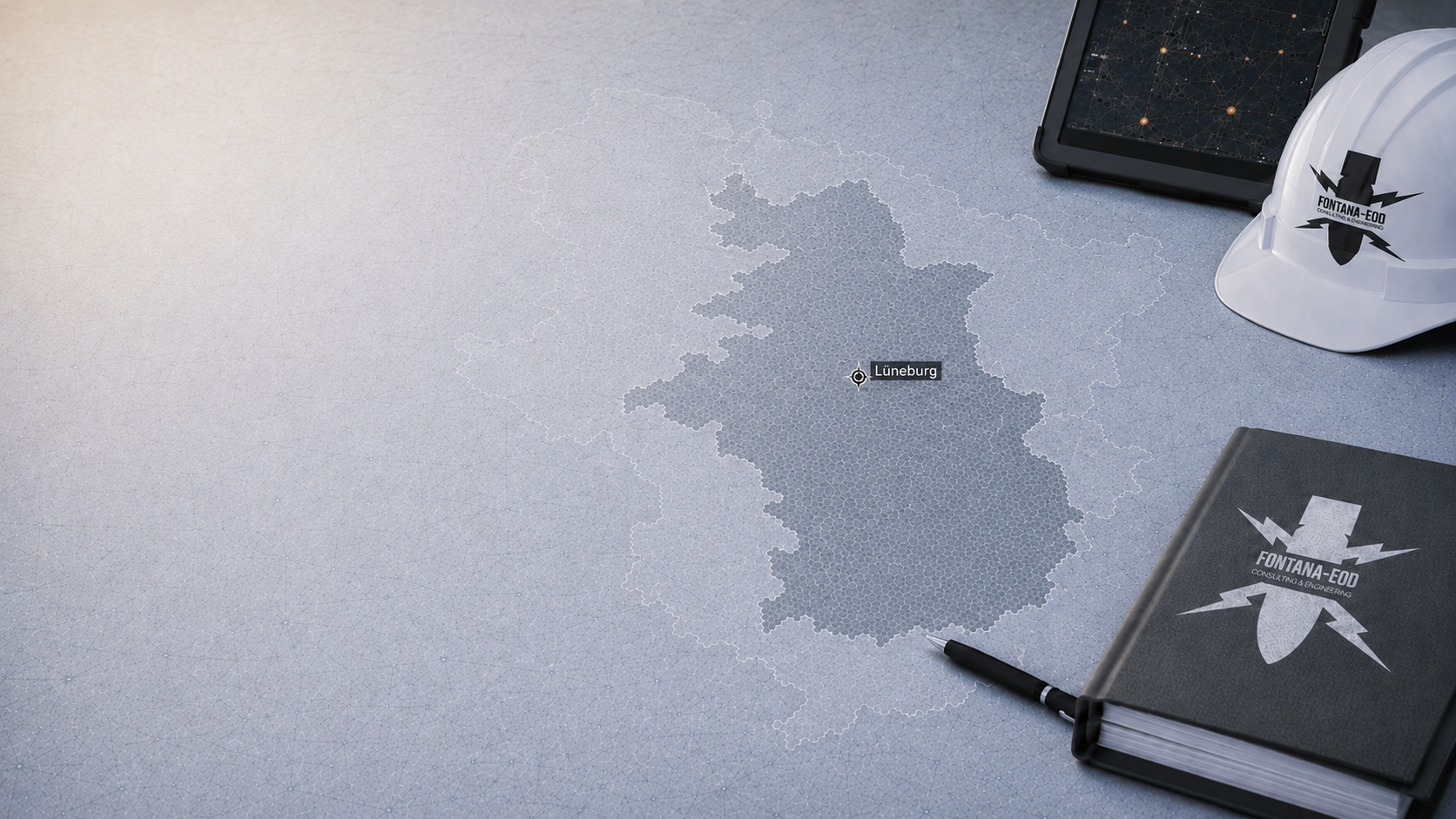
For projects in the Lüneburg administrative area, for example in Lüneburg, Celle, Stade and Cuxhaven, historical records and specific earthworks are assessed for the individual site. The region’s name alone does not describe an explosive ordnance finding.
Assess a Lüneburg project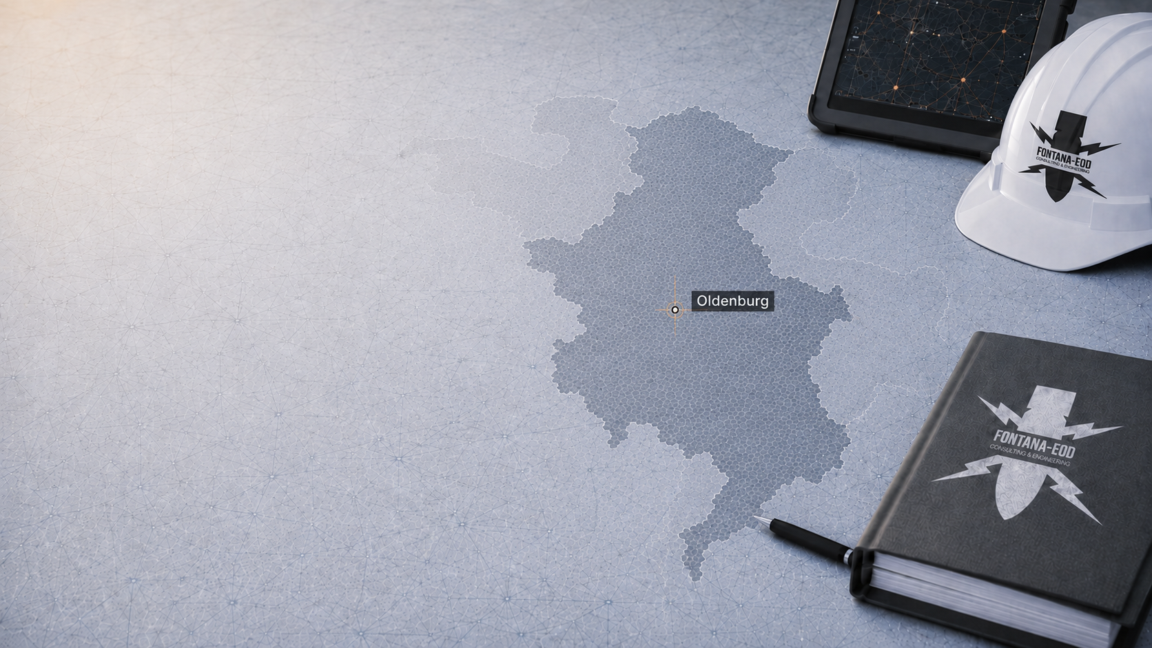
Projects in the Weser-Ems administrative area, for example in Oldenburg, Osnabrück, Emden, Wilhelmshaven, Delmenhorst, Lingen (Ems) and Nordhorn, may involve different construction and operating conditions. The actual work area matters for specialist planning.
Review a Weser-Ems project
For excavations, routes and utilities in Hanover, existing official information and maps of suspected ordnance are related to the actual groundworks areas.
Clarify a Hanover project
For Braunschweig, available register information, historical records and technical reports are compared with the proposed construction task.
Clarify a Braunschweig projectWartime munitions, unexploded bombs, munitions that have been found and other military remnants may be relevant to projects in Lower Saxony. The specific conclusion always follows from the location, records, previous use and proposed groundworks.
In heavily affected cities such as Hanover and Braunschweig, unexploded bombs and suspected points identified in wartime aerial photographs may play a central role. For project owners, what matters is whether the suspicion lies within the actual construction area.
Arrange aerial photograph analysisFormer barracks, training grounds, transport routes, ports and armaments or supply sites may be relevant to historical research. Whether they give rise to suspected explosive ordnance is assessed from the records for the specific area. A description of use alone is not a finding.
Assess munitions finds safelySealed surfaces, fill, construction rubble, existing utilities, old buildings and metallic interference sources can limit survey methods. Historical assessment must therefore be combined with the technical assessment of whether and how the site can be surveyed.
Agree the technical investigationIn Lower Saxony, municipalities are responsible for danger prevention; the state explosive ordnance disposal service provides technical support. Whether a construction project needs further measures to investigate potential danger, such as surveying, depends on the specific suspected ordnance and official requirements. Property owners, project owners or the responsible municipality can commission the necessary surveying from a commercial specialist contractor.
Municipal bodies and interfaces with the explosive ordnance disposal service are relevant to danger prevention, assessment, communication of finds and the exercise of public powers.
FONTANA-EOD supports clients with historical analysis, surveying, supervision during excavation, documentation of findings and project communication.
Designers and site management need clear records of the construction area, groundworks depth, methods, hold points and objectives for the evidence required.
The assessment objective, area covered, groundworks depth, survey methods and documentation scope should be technically described before contract award.
Prepare tenderingFor excavations, drilling and utility trenches, whether and how surveying can be carried out, occupational safety, action on finding ordnance and reporting procedures must be clarified before work begins.
Arrange specialist supervision of earthworksProcedures and responsibilities: LGLN: explosive ordnance contamination on properties · BFR KMR: clearance planning · BFR KMR: geophysical methods. Outside their direct scope, the federal guidelines provide technical guidance; local requirements are clarified for the specific project.
For work in Germany, the permit, certificate of competence and responsibilities for the specific activity are assessed under the Explosives Act and the First Ordinance to the Explosives Act. The risk assessment under Section 5 of the Occupational Safety and Health Act relates to the planned activities. The DGUV Information 201-027 covers preventive investigation and clearance of conventional explosive ordnance and defines its scope. Its explanations concerning DGUV Rule 113-003 relate to specific activities involving explosives; they are not applied indiscriminately to every investigation for construction. § 7 SprengG concerns the commercial permit for activities requiring authorisation, and § 20 SprengG the certificate of competence of responsible persons. Under § 1b SprengG, searching for munitions that have been found also counts as handling.
The client describes the project and provides the available project records. The operator adds requirements for use, access and timing. A coordinating contact brings the parties together; individual tasks remain assigned to the named parties. Before commissioning, it is clearly recorded what information is missing, who will obtain it and what decision the result is intended to prepare.
The specialist designers describe areas, depths, construction methods and changes. Site management coordinates the planned sequence with the construction contractors and agreed specialist works. Results are assigned to the respective intervention. A technical plan change is communicated early enough for its effect on the survey task to be assessed before construction. Organisational construction stage boundaries remain distinguishable from technical survey boundaries.
The private explosive ordnance specialist contractor performs the agreed investigation and documentation work. Official requirements and decisions are clarified with the respective responsible bodies. The records needed for a specific procedure depend on the location and project. The technical report documents the specialist work carried out and its area, depth and limits of conclusions. The responsible bodies make official decisions concerning subsequent groundworks.
In Lower Saxony, the municipality is the responsible danger prevention authority. The state explosive ordnance disposal service supports it and is responsible for recovery, defusing or detonation, transport and destruction of explosive ordnance. Necessary measures to investigate potential danger, such as surveys, are commissioned from commercial specialist contractors by property owners, project owners or the municipality. Local coordination clarifies contacts, official conditions and reporting procedures, as well as the handover of assessed findings.
Which investigation is suitable for your project depends on the location, history of use, ground conditions, groundworks depth and possible interference.

Wartime aerial photographs, indications of explosive ordnance and the history of use are related to the property, route or excavation. Describe which decision the analysis should prepare and what other records are available. The findings remain bound to the imagery analysed and the area covered; the absence of an identifiable anomaly is not equated with a technical investigation.
Review the site history
Near-surface areas of suspected ordnance are assessed in terms of access, interfering objects, utilities and survey conditions. Suitable access and a survey method appropriate to the task are necessary. Strips that cannot be covered and interfering installations are explicitly considered. The area covered is documented so that it can be compared with the later groundworks.
Arrange a surface survey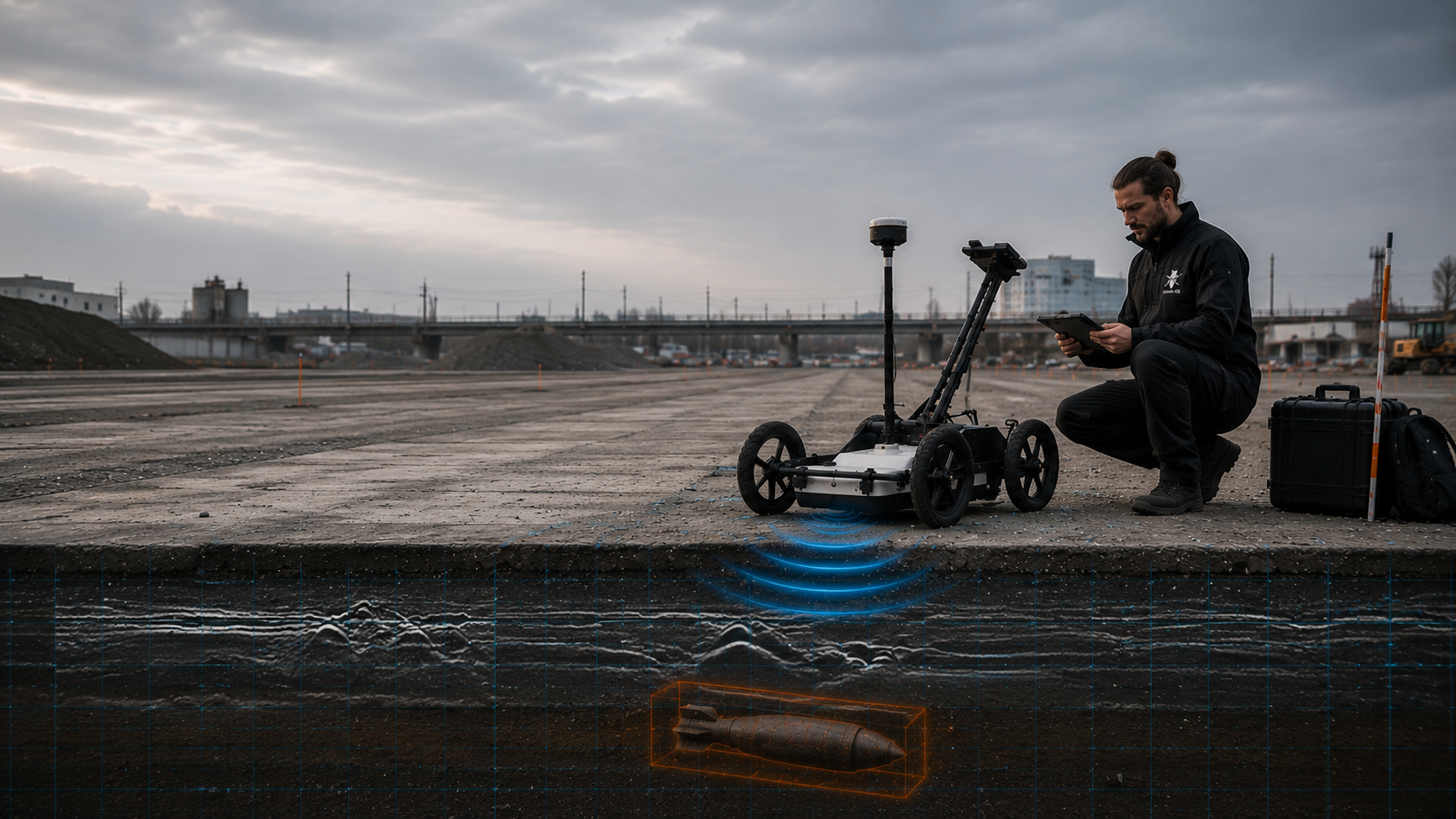
Ground-penetrating radar supplements the assessment where ground composition, surface conditions and the question investigated allow radar-based interpretation. Ground composition, moisture and installations can affect interpretation. An identifiable reflection is technically assessed and is not attributed to a specific object solely from its appearance. Results of a utility or structural investigation must be distinguished from an explosive ordnance task.
Consider ground penetrating radar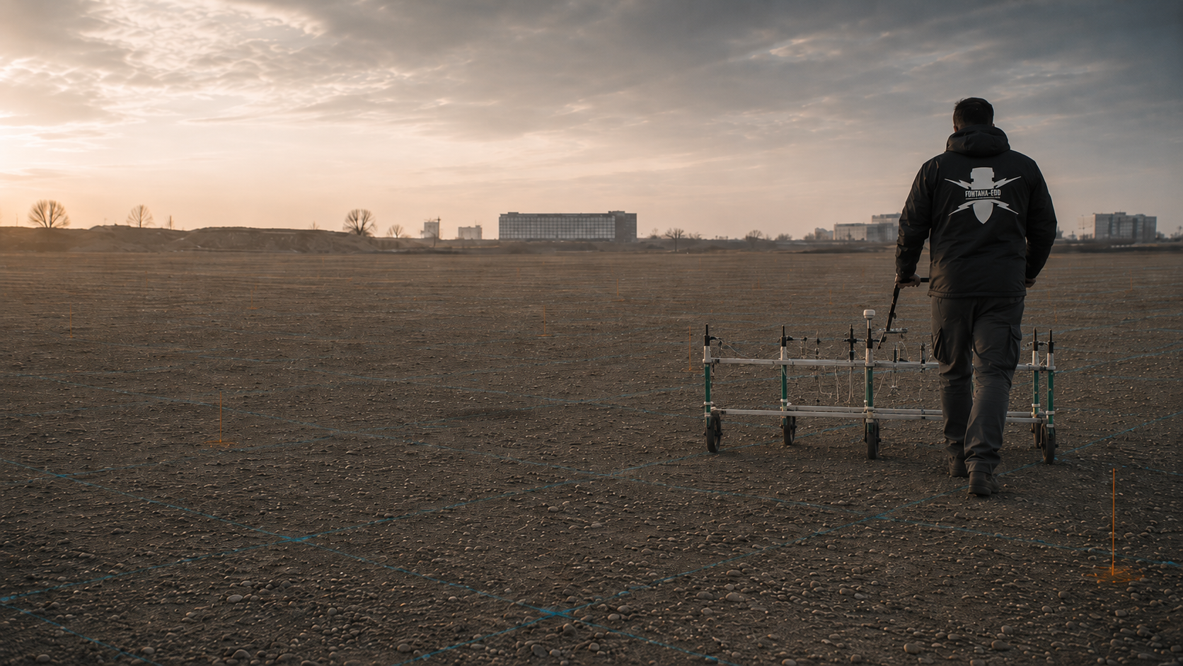
Magnetometry is relevant to ferromagnetic interfering objects and suspect objects and is assessed against existing utilities and interference fields. Expected target objects and magnetic interference are considered before the investigation. For execution, it matters which areas remain interpretable under the actual conditions. A signal needs technical interpretation and, where appropriate, further clarification.
Identify the role of magnetometry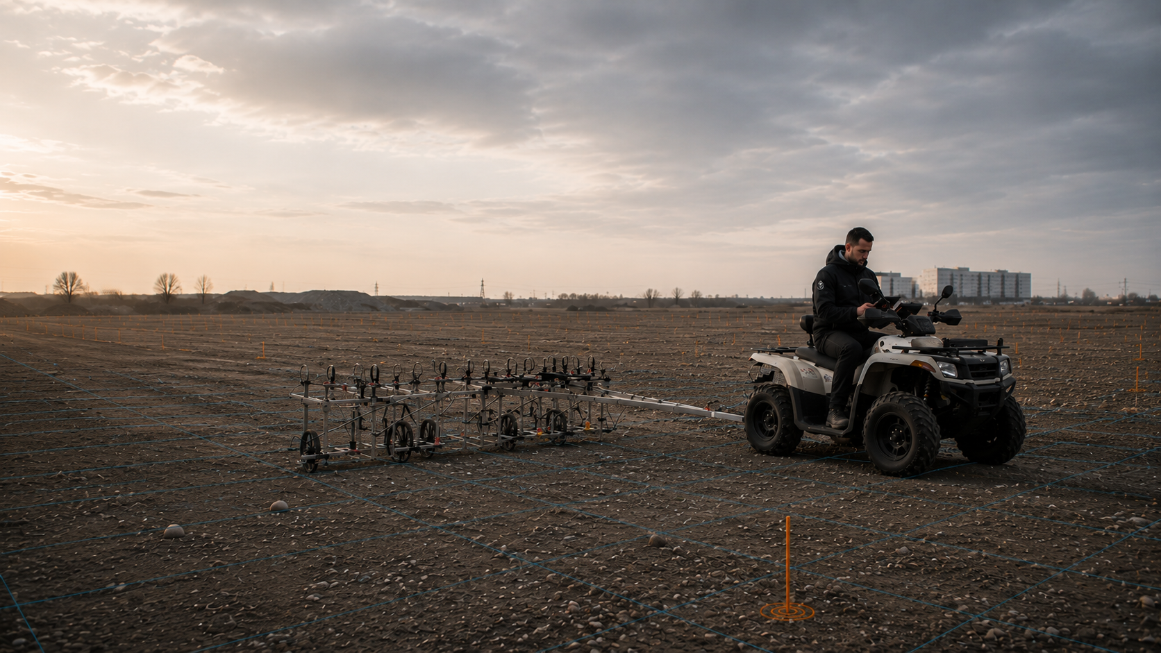
TDEM can be used for metallic objects in suitable investigation areas and must be assessed in relation to depth, area and surrounding interference. Selection is determined by the information required and the actual conditions. A method may supplement other findings without removing every limitation. The commission and report identify the task addressed by the specific investigation.
Discuss TDEM
Where investigation is needed, borehole locations, piled foundations, shafts and deep excavations are included in specialist planning with their actual depths. Preparation shows positions, elevation reference and groundworks depth together. Creating necessary access for investigations also belongs in the agreed plans. A general depth figure or a grid adopted from another project does not replace the suitability assessment.
Survey at depth
Where advance investigation is limited, the suitability of a professionally planned investigation alongside construction is assessed. Visual observation alone does not replace a necessary technical survey. The technical investigation is coordinated with the proposed earthworks. Necessary work stoppages, contacts and handling of new findings must be agreed clearly. The subsequent report distinguishes areas actually covered from areas still unresolved.
Arrange excavation supervision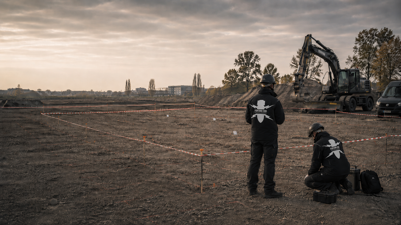
Areas of suspected ordnance are opened, investigated, cleared and documented where the project conditions and clearance objective require it. Such a measure follows from the available information and risk assessment. Its objective, work area and procedure require their own planning. The report identifies the areas actually covered and the results. Official decisions are made by the responsible bodies.
Clarify area clearance
Where findings are confirmed, protective measures, responsibilities, recovery, communication and documentation are organised as part of the process. The division of tasks must be clearly established before the commissioned activity. In Lower Saxony, the state KBD is responsible for the recovery and disposal tasks assigned to it. Private preparatory work and technical investigations are described and coordinated separately. Results documents and, where applicable, a clearance record link the location, depth, findings and outcome of the work actually performed.
Prepare for recovery
Records, methods, findings and limits of conclusions are documented for the construction project file, tendering and site management. The terminology used must match the actual content. The report identifies the investigation task, areas covered, results and restrictions. This specific conclusion matters for designers and site management; a heading does not extend it to arbitrary future uses.
Secure the evidence trailFor acquisition, feasibility or early planning, first establish whether historical analysis and delineation of suspected areas are needed.
Have suspected contamination assessed professionallyFor borehole locations, piled foundations and deep shafts, investigation needs are assessed against the groundworks depth and survey conditions.
Arrange surveys of borehole locationsFor trenches, excavations and site development work, the combination of suspected ordnance, surface conditions and groundworks depth determines the method.
Arrange an assessment of excavation workBefore tendering, the service scope, documentation objective, interfaces and technical limits must be clearly described.
Prepare evidenceWhether a utility trench, excavation or traffic area is involved, the proposed earthworks help determine which survey is needed and what evidence designers and site management require.
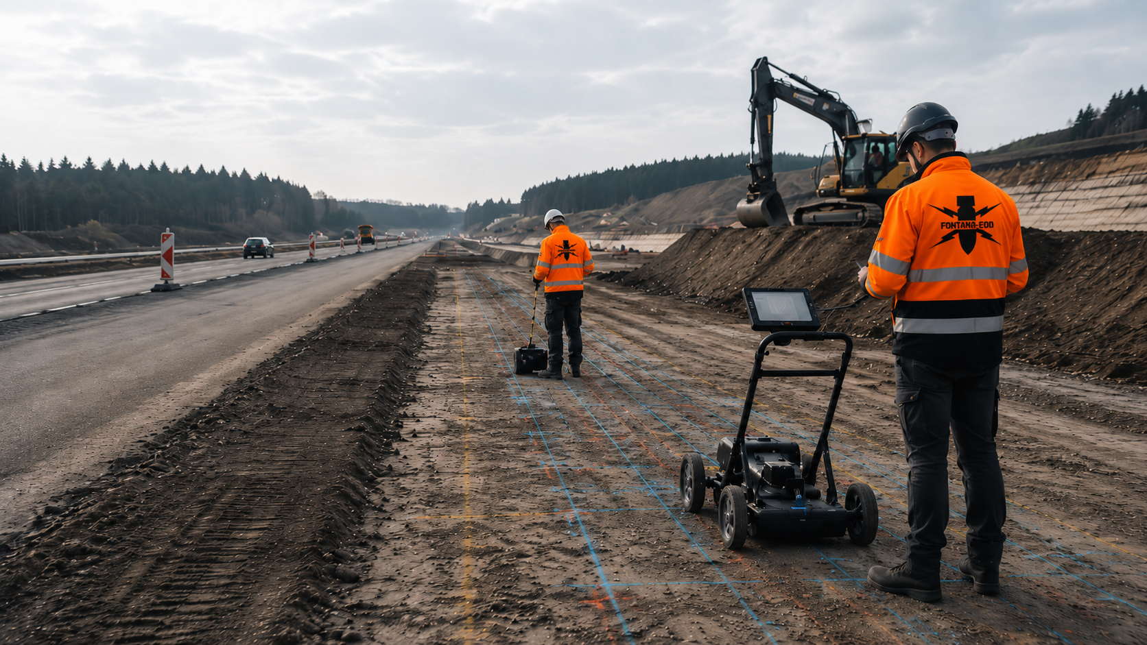
Roads, sewers, shafts and traffic areas require assessment at the actual groundworks depth. Alongside the carriageway, shafts, connections and deeper drainage may be involved. The surveyed sections are related to these different interventions. A shared construction operation does not automatically mean a uniform investigation scope.
Assess a civil engineering project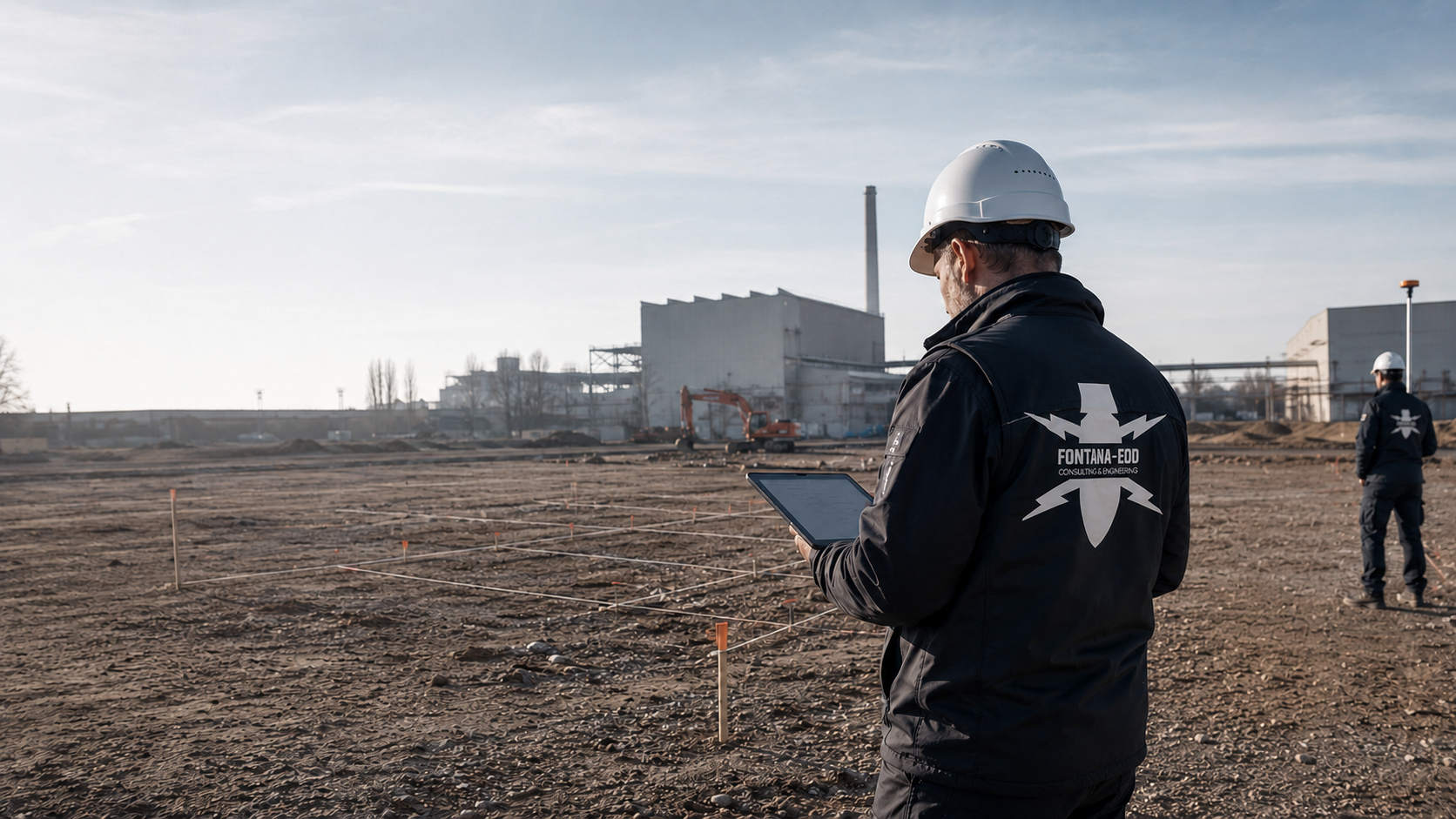
Commercial sites, former sites and extension areas are assessed according to their history of use, interfering objects and construction phases. Operating procedures and fixed installations must be recorded before the investigation. New foundations or connecting utilities are shown with their actual working volumes. The history of use is a basis for assessment, not a specific finding in its own right.
Assess commercial land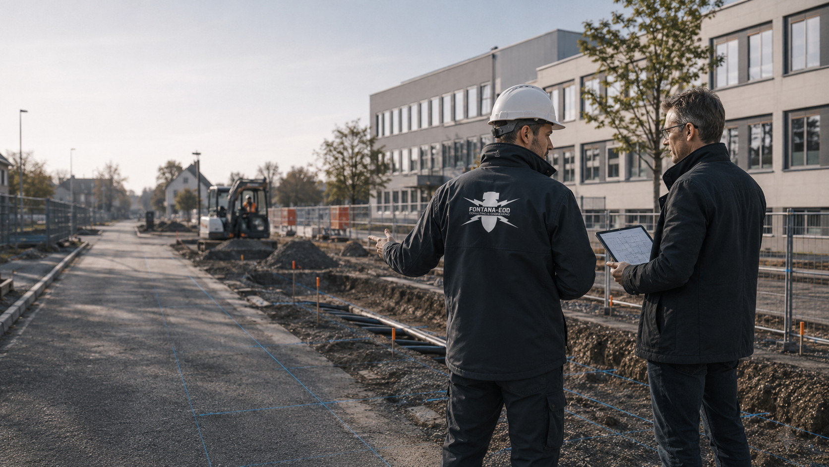
Roads, squares, schools, sewers and public buildings need reliable records for tendering and site management. Early works and later main operations are shown separately in time. The tender describes which information is available and what is still needed. A clear handover of results helps site management relate them to the respective earthworks.
Assess a municipal project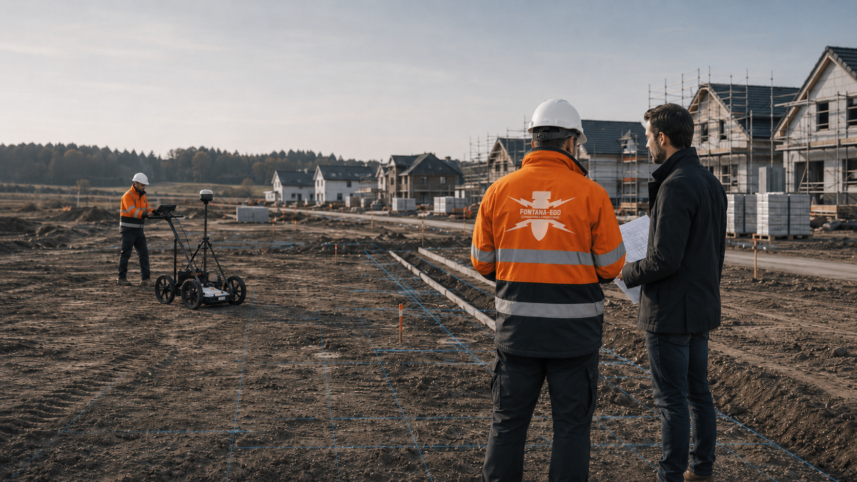
Properties, new development areas, construction access roads, service connections and excavations are assessed as a connected groundworks volume. Public infrastructure areas and later individual excavations may constitute different tasks. Existing results are therefore handed over with their original boundaries. Additional depths or working volumes for a later building are compared separately with these records.
Prepare a housing project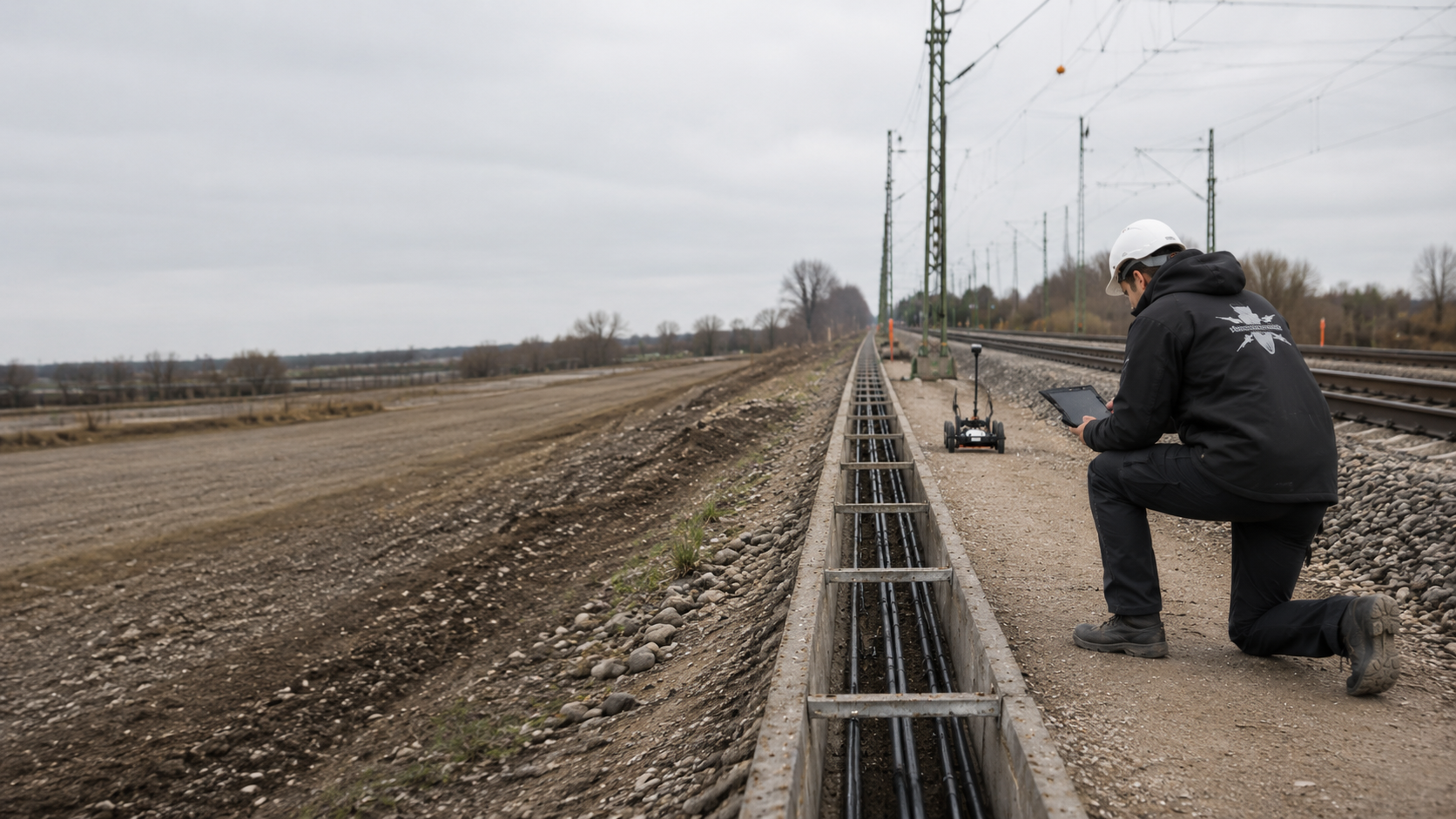
Trackside areas, cable construction, crossings and railway ancillary areas need assessment by section. Crossings, launch pits, cable chambers and access points may deviate from a continuous route centreline. Their actual positions are included in investigation planning. Operational access rules and technical assessment of the subsurface remain separate tasks.
Assess a railway route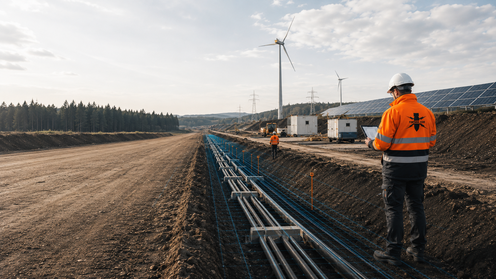
Routes, cable joint bays, crossings, wind farms, solar parks and substation areas need evidence by section. Construction planning identifies the entire working volume and the different depths of the component structures. Before a crossing is changed or a foundation moved, existing results are checked for suitability. An operating site’s name alone does not define an investigation boundary.
Clarify a route assessment
Utilities, energy, transport, water and communications require reliable evidence and clear interfaces in the construction programme. For operating installations, work areas needed and available time windows must be clarified early. The specialist investigation is coordinated with those responsible for operations. The operator is responsible for operational access rules and assessment of its installation; the explosive ordnance specialist contractor documents the commissioned investigation scope.
Assess a critical infrastructure site
Ground investigation points, contaminated sites, fill and geotechnical investigations require close coordination of borehole locations. Soil and ground investigations have their own information objectives. Their investigation points are described as actual groundworks and coordinated with explosive ordnance planning. Changed positions and depths must be technically checked before execution.
Coordinate a ground investigation assessment
For transactions, coverage questions and major projects, a traceable assessment of suspected ordnance and limits of evidence matters. A technical assessment describes the information available and unresolved investigation questions. Contractual, financing and coverage decisions remain with those responsible for them. They take the report and its actual investigation scope into account in their respective decisions.
Arrange a specialist risk assessmentThe address, municipality, administrative area, parcel, coordinates and construction site boundaries are recorded unambiguously.
Send location informationAerial photograph evaluations, explosive ordnance contamination maps, conditions and existing older assessments are brought together.
Assess the historyMeasurement data, anomalies, interfering objects, restrictions and interpretation of findings are documented in a form usable by project participants.
Coordinate survey workThe documentation shows which next technical step is appropriate for site management, tendering or further assessment.
Review the evidence processThe project location, municipality, site plan, parcel and construction area are described clearly.
Aerial photographs, conditions, older assessments and known indications are related to the groundworks.
Surface investigation, deep surveying, borehole surveying or supervision during excavation are selected on a technical basis.
The commissioned specialist contractor investigates the agreed ground volume. Access, existing utilities, surfaces and preparatory groundworks are coordinated with site management. Measurement data and findings have location, elevation and depth references; limited survey conditions and inaccessible parts of the site are recorded.
The investigation results are compared with the proposed groundworks. Anomalies, assessed findings and unresolved areas remain separately identified. Necessary supplementary investigations and handling of confirmed explosive ordnance are coordinated with the responsible parties according to the division of tasks in Lower Saxony.
Results, limits of methods and follow-up decisions are documented for the construction project file and tendering.
For a Hanover project, existing maps of suspected ordnance and investigation reports are compared with the area and depth of the proposed groundworks.
Assess the Hanover contextFor Braunschweig, register information and existing reports are related to the actual construction area and proposed groundworks.
Assess the Braunschweig contextFor other project locations, technical coordination starts with the site plan, construction objective, depth and available records. Information still needed is clarified afterwards.
Submit documents
Wartime aerial photographs can provide indications of bombing, ground changes and suspected points.
Arrange aerial photograph assessment
Deep groundworks are assessed differently from near-surface earthworks.
Plan a deep-ground survey
Where surveying is limited, excavation work can be supervised by specialists.
Clarify excavation supervision


The regional overview remains the appropriate starting point for neighbouring countries, federal states and regional service areas.
Explore all regions
Historical analysis, surveying, supervision during excavation and documentation are combined to suit the groundworks.
Define the scope of services
The location, site plan, groundworks depth and construction phase provide the basis for initial technical coordination.
Send a Lower Saxony projectFirst establish which decision the commission needs to support. Is the task an initial assessment of existing documents, an investigation of a specific area or examination of an anomaly that has already been assessed? These tasks require different evidence. A general wish for safety does not define an investigation that can be carried out. The enquiry therefore specifies the groundworks, location, depth and available findings. Suitable specialist work and the required reporting are then agreed on that basis.
Define the specialist taskRequired access and survey conditions are clarified before the site visit. This may include keeping areas clear, obtaining service information and coordinating with other trades. The method and site determine which preparations are actually needed. Changes to the surface or additional groundworks are not undertaken unilaterally simply to prepare for a survey. Their sequence is agreed with the specialist designers and responsible parties.
Clarify preparatory work in the programmeA reliable process distinguishes work already technically clarified from prerequisites still unresolved. If an area will only be partly accessible, this must be taken into account when commissioning the work. Handover and assessment of results also need time in the construction programme. Specific coordination connects the described scope with access, records, execution conditions and the date by which a decision is needed.
Discuss the scope and scheduleSpatial identification needs more than an address. The site plan, parcel details and available coordinates are brought together with the groundworks plans. Depth-related conclusions must clearly state their elevation reference. If ground has been excavated or filled, an old depth figure may otherwise be misleading. Identify such changes. Specialist planning clarifies the information needed for a traceable investigation and subsequent use of the results.
The title page, task description, results, plans and restrictions belong together. If only individual pages are passed on, the findings may appear to apply more widely than the area actually investigated. For several reports, an overview with dates, authors and spatial references helps. It does not replace the original records. A new enquiry explicitly identifies which records are available and which are known only through another document.
A commission can be prepared while information is still missing. However, these uncertainties are recorded as such: for example, an unfixed borehole location, an unknown utility route or an inaccessible part of the site. Further work then has a specific task. Missing information is not replaced by a seemingly precise assumption. Before the groundworks concerned, it is established whether the necessary technical basis is now available.
For a meaningful comparison, the services offered must address the same task. Differences may arise from area, access, methods, necessary preparation and the scope of results. A price per unit of area alone does not reveal these conditions. Describe existing information and the decisions needed as specifically as possible. The services and prerequisites covered by an offer are clarified before commissioning; general statements do not replace a project-specific agreement.
The division of responsibilities in Lower Saxony connects different tasks. The municipality is responsible for danger prevention and can use the support of the state explosive ordnance disposal service. Property owners, project owners or municipalities can commission commercial specialist contractors to investigate potential danger. For a construction project, first distinguish which official coordination and private technical services are needed. An enquiry to FONTANA-EOD describes the intended specialist work; decisions involving public powers remain with the responsible bodies.
A map, letter or municipal portal provides a particular state of information. The project assessment establishes its spatial and substantive scope. A general statement about an area is not used as evidence of a technical investigation. Conversely, the absence of a visible entry does not mean that a volume of ground has been investigated for every use. The associated explanations and available file are needed for the groundworks actually proposed.
The results report is used together with the construction plans. It identifies the areas investigated, methods, restrictions found and any further action needed. For new groundworks, these details are checked for continued suitability. Different foundations, additional depths or a relocated route may trigger supplementary assessment. The technical findings are thus used specifically, rather than deriving unlimited applicability from a project name or property address.
A client may plan similar construction tasks in several municipalities in Lower Saxony. The service can be prepared jointly in organisational terms, but the available information remains site-specific. Existing official information, site plans, groundworks depths and access are recorded separately for every location. Results from one site are not transferred to the next. Local contacts and official requirements may also differ. Common documentation requirements are agreed in the tender, while the investigation scope and suitable approach remain traceable for each site. Results can then be compared without losing their different prerequisites.
A longer route may involve several municipalities and different sets of records. The groundworks plans are divided into sections whose interfaces must be technically consistent. Crossing a municipal boundary must not create an undescribed gap between two investigation areas. Individual launch pits, shafts or crossings may also deviate from the continuous route centreline. Site management needs each section linked to its report, plan version and component commission. If the route is moved later, the actual new alignment is assessed. An organisational section number alone does not show whether the new working volume is still covered.
Site development may initially consider roads, utilities and public areas. Later excavations or foundations on individual properties may involve different areas and depths. The site development investigation is therefore handed over with its original brief and results appendices. For the later individual project, these establish which findings are already usable and where further clarification remains necessary. A property sale or a new project owner does not extend the findings of an existing report either. Its documented scope and the earthworks actually intended remain decisive.
On an operating site, access and the construction programme are often as important as the investigation area itself. A survey area may be limited by installations, stored materials or traffic routes still in use. These conditions are described before selecting the method. The operator identifies operational requirements; specialist planning assesses investigation options. If parts of the site can only be made accessible later, their investigation is planned separately. An area organisationally authorised for work is not automatically a technically investigated ground volume. Both are coordinated with the respective responsible parties and documented separately.
When participants change, the complete technical reports, including appendices and the task description, should be retained. A summary file note is often insufficient to trace the area, depth and restrictions. For new plans, existing information is compared with the changed groundworks. Available data can support the work, but are not adopted without technical assessment. Even an old report with a favourable result remains bound to the task investigated at the time. New site management needs a clear account of which findings are reused and which question remains unresolved.
An early investigation can provide information for later tendering. To keep this information usable, its task and scope of conclusions must be described clearly from the early stage. If the construction plans change, the earlier investigation is checked for continued suitability. Tender documents distinguish specialist work performed, available results and services still to be commissioned. A general formulation might otherwise suggest that all work has already been clarified or is included in the new commission. FONTANA-EOD supports the technical definition of its own service scope from the records submitted and the specific construction task.
Historical aerial photograph assessment and other old records help place the basis for suspicion in its spatial context. The available images, their evidential value and the limits of the area considered matter. The absence of an identifiable indication must be distinguished from a technically surveyed ground area. The assessment is considered together with the planned intervention and other available findings. It can support the choice of a survey, but is not a measurement of the present-day subsurface or confirmation for all future works.
Understand aerial photograph assessmentMagnetometric methods detect magnetic anomalies. Whether they can address the specific survey task depends, among other things, on the expected objects, ground conditions, interference and required survey area. Fences, utilities or existing structures may affect interpretation. A measurement signal is therefore not described as ordnance solely because of its strength. Method, interpretation and any further investigation are planned as a connected specialist task.
Understand the scope of magnetometryElectromagnetic investigations may be suitable for certain metallic target objects and site conditions. Suitability is justified for the particular task, rather than inferred from equipment availability alone. Interfering installations, accessible areas and the conclusion required must also be considered. Results are documented with their location and investigation conditions. Whether a supplementary method is needed follows from the technical assessment and remains a specific project decision. TDEM records time-dependent electromagnetic responses from electrically conductive objects.
Understand electromagnetic surveyingUnder suitable conditions, ground-penetrating radar can provide information about subsurface structures and reflections. Ground conditions, moisture, installations and the particular investigation task affect interpretation. An anomaly is not automatically explosive ordnance, and an area without anomalies is not general evidence for arbitrary depths. The technical interpretation and limitations are documented with the commission. An investigation for other purposes is not adopted as explosive ordnance evidence without assessment. Highly conductive ground can limit its range.
GPR and limitationsFor deeper groundworks, it may be necessary to establish whether a surface investigation can provide the required findings or another approach is needed. Preparation includes the location, depth, borehole layout and existing services. Creating access for the investigation must also be properly planned by specialists. A general depth figure or standard grid cannot replace that work. Findings remain limited to the areas actually investigated and the method used.
Prepare deep interventionsWhere a necessary advance investigation cannot be completed, the suitability of a professionally planned approach alongside construction is assessed. This includes the agreed investigation, interpretation and communication of findings within the proposed workflow. Visual observation alone during excavation is not an arbitrary substitute for a necessary survey. Site management needs a clear description of when specialist work takes place, how new information is handled and which areas remain unresolved. Where conditions are suitable, every working layer is technically surveyed and assessed before controlled excavation in layers. Visual inspection supplements the survey. The process continues to the agreed excavation base and, where necessary, at walls or slopes; the stop signal, authority to issue instructions and reporting procedures are agreed beforehand.
Agree the approach during constructionWe assess the planned groundworks against the available documents and their design revision. Before attending site, we agree with you what needs to be investigated, which areas are accessible and what findings are required. If the design or site conditions change, we check whether the agreed scope remains appropriate. The report states what was actually investigated and the limits of the findings. This allows designers and site management to see which findings they can use and where questions remain.
Discuss the investigation taskWe first establish the investigation objective: which question must it answer? We then select a technically suitable method. The availability of a particular device or experience on a similar neighbouring site is not enough to justify the choice of method on its own.
Inaccessible areas and limited conclusions are identified. They do not disappear into a total area figure. Designers and site management can then decide specifically which areas still need attention and when a suitable survey becomes possible.
A new location, additional depth or different construction method is compared with previous results. A familiar project name does not replace this comparison. Feedback is provided before the affected work so that an outstanding question can be included in the sequence.
The technical conclusion remains connected to its location references and appendices. A brief summary helps orientation but does not replace the documented survey scope. This basis is retained even if site management or contractors change.
A statement is understandable only with its investigation task. Check the area and depth described, methods used and restrictions. A report title or single result line is insufficient. For new work, these details are compared with the current plan to establish which knowledge remains usable and which question is unresolved.
Explore results and terminologyDocument review, surveying, construction-phase specialist work and recovery are different tasks. An enquiry need not identify the correct method in advance. An accurate description of the intervention and required decision is more useful. This establishes the appropriate technical scope and prevents a general term from meaning different things in design, procurement and execution.
Understand the service scopeIf possible explosive ordnance is found, stop work at the find location immediately. Do not touch, move or further expose the object. Leave the immediate area, keep your distance and keep others away without putting yourself at risk. In Germany, notify the police immediately on 110. The responsible authorities determine the next steps. Inform site management and the client; internal reporting must not delay the emergency call.
Depending on the project location, unexploded bombs, munitions that have been found, shells, ammunition components, cartridges, fuzes or other military remnants may be relevant. A specific conclusion can only be reached for the particular site.
Both cities have documented effects of aerial warfare and suspected unexploded bombs. For construction projects, what matters is whether the suspicion concerns the specific construction area, route or excavation.
The project location, site plan, parcel or route, groundworks depth, borehole locations, construction phase, existing aerial photograph evaluations, conditions and utility plans are needed.
Before contract award, the assessment objective, area covered, methods, documentation scope, responsibilities, hold points and possible effects on the construction programme should be described.
The area, groundworks depth, available records, ground composition, metallic interference and access determine the investigation task. Necessary preparation, interpretation, verification of anomalies and documentation are additional factors. The component services required and their assumed quantities are described so that quotations can be compared. Areas or access arrangements still unresolved are coordinated with regard to their effects on execution.
Organisation and documentation requirements can be described jointly. However, the investigation scope, available information and local conditions must still be determined for each site. Results are not transferred from one property to another. The specialist service actually needed must be identifiable for each component task.
The new groundworks are compared with the documented areas, depths and restrictions. Additional or relocated areas may require supplementary assessment or investigation. Before execution, submit the revised plans together with the existing reports and appendices.
The address, municipality, administrative area, parcel, coordinates, site plan and construction area boundaries enable the regional assessment.
The excavation, utilities, drilling, foundations, road construction, excavation depth and construction phase determine the technical assessment needed. Identify the earthworks due to begin first, existing utilities and parts of the site not yet accessible.
Tendering, contract award, site management and execution windows determine how the report and documentation should be structured. Send existing reports in full with appendices, official letters and ground investigation or existing-site records. Identify contacts and the date by which a response is needed.
Whether historical aerial photograph analysis, explosive ordnance surveying, surface surveying using GPR, magnetometry or TDEM, deep-ground surveys, downhole surveys, excavation supervision, area clearance or ordnance recovery is needed depends on the location, ground disturbance, depth, ground and existing documents. An early ordnance assessment provides clarity for tendering, programming, occupational safety and construction.
FONTANA-EOD combines its Section 7 SprengG licence, specialists holding Section 20 SprengG certificates of competence, suitable survey and clearance methods, and traceable documentation. Send the site plan, depth of ground disturbance, construction phase and existing documents for an initial technical assessment.


