Project pathway
The quickest route to the right decision.
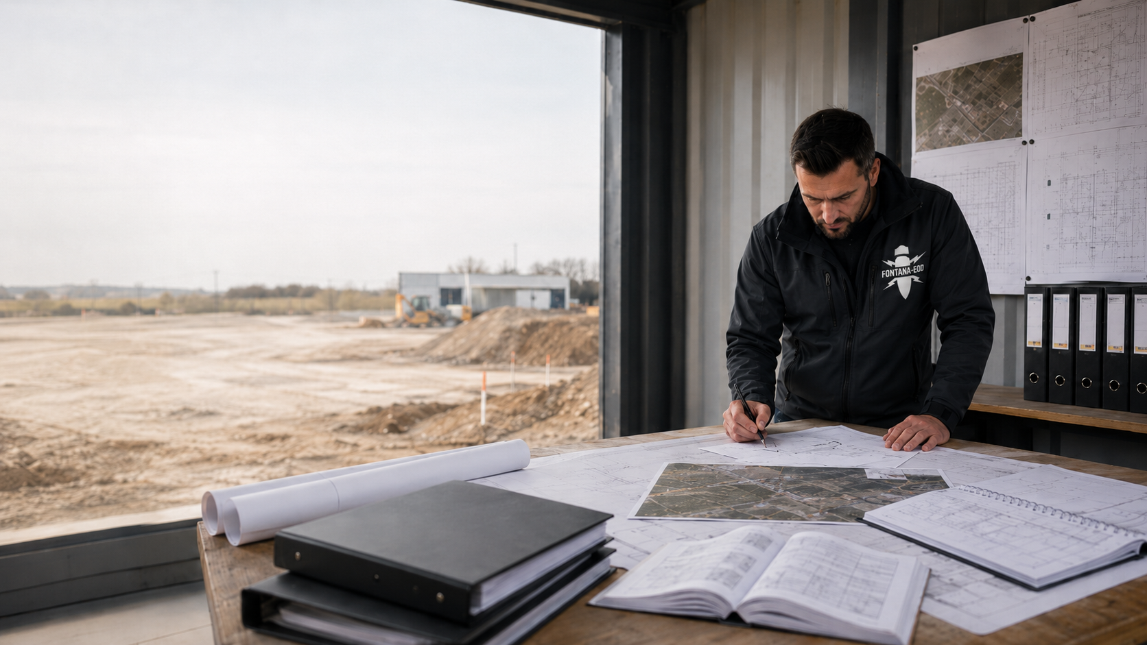
For clients and planners, the history of aerial warfare provides background for assessing possible explosive ordnance questions before groundworks. Whether it gives rise to a specific suspicion for a property is assessed using local sources, existing investigations and proposed interventions. For specialist coordination, compile existing assessments, the current site plan and proposed intervention depths.
Understand the historical context.
Make conclusions and gaps visible.
Assess evidence for the specific area.
During the Second World War, air raids also targeted industry and cities. The German Federal Archives explain the development of aerial warfare and provide access to historical documents about it. This history provides the framework; a particular construction area requires more precisely located evidence.
Aerial warfare changed during the Second World War. The German Federal Archives describe a marked intensification when the USA entered the air war in summer 1942. In the joint offensive, British formations carried out night-time area bombing while US air forces mainly attacked the armaments industry by day. In 1944, bombing expanded to further parts of the Reich. For a present-day construction area, this historical framework initially becomes a research question defined by place and time. Only sources assigned to the location allow assessment of the volume concerned.
An unexploded ordnance item is, in simplified terms, ordnance prepared for use and deployed that did not function as intended. The term includes more than aerial bombs. Other causes may also have left explosive ordnance contamination; an assessment limited solely to bomb drops would therefore not always be sufficient.
The bombing war affected cities, industrial facilities, railway stations and military sites. Alongside major strategic raids, there were tactical attacks on smaller targets and infrastructure. Alternative targets and bombs dropped in error or emergency also need consideration in historical assessment. The BFR KMR therefore distinguish reconstruction of the attack events from merely describing the location of a former target. Actual events, identifiable impact areas and limitations of the respective documents matter for construction preparation. A known target name alone does not yet describe this context fully.
Explosive ordnance may also be associated with ground combat, military use, ammunition production, storage or former ammunition destruction. The BFR KMR causal scenarios systematically classify these different causes. Several may overlap on the same area. Previous military use and subsequent wartime effects, for example, must be investigated separately and then brought together. Which causes actually need consideration locally follows from available evidence. Specialist research therefore includes the relevant use history and identifies periods still unresolved.
Historical terrain, later alteration and the current construction design represent different conditions. Filling, excavation, a changed watercourse or new buildings may complicate comparison. The project file records the periods used and their spatial assignment. Former property designations and current plots must correspond traceably. If assignment remains unresolved, it is identified as part of the specialist task. Existing as-built and elevation plans help compare terrain development with proposed interventions.
For local assessment, sources are checked for origin, date and spatial reference. Different documents complement one another but cannot be interchanged arbitrarily.
Documents may describe events, former uses or known measures. The German Federal Archives explain the principle of provenance: holdings are organised by the bodies that created the documents. A place name alone therefore does not reliably lead to all relevant documents. Targeted research may need the military unit at the time, responsible office or regional command authority. Losses of records must also be considered. An unsuccessful database search and a specialist-assessed, area-specific evidence base are therefore different stages of work.
Historical aerial photographs may show traces relevant to explosive ordnance. Their evidential value depends on the date, image quality and visibility of the ground. Clouds, vegetation or rubble may limit interpretation. The BFR KMR guidance on aerial photograph assessment relates image selection to the relevant periods and events. An image taken immediately after an attack must be checked for its actual technical suitability. Further photographic flights may provide additional information. The assessment documents which sources were used and where temporal or spatial gaps remain.
An assessment establishes a traceable relationship to the present-day area. Mapped indications have limited positional accuracy. Relevant factors include image scale, geometric image quality, suitable control points and the spatial orientation method. Enlarging a representation on a current map does not automatically improve the accuracy of the original information. For a specific foundation point or narrow route, documented positional accuracy and the proposed intervention volume are therefore considered together. Unclear assignments belong in specialist coordination.
Post-war uses and earth movements may have changed the situation. Filling or relocation of soil may place ordnance in a different context from the original terrain. BFR KMR expressly consider such constraints during investigation. Earlier clearance and construction measures therefore also belong in document review. A report concerning the ground surface at the time is compared with the current elevation and proposed intervention. Known earth movements, filled pits and older structural elements are identified with their spatial references insofar as evidence exists.
A general depth therefore does not establish how deep investigation must extend for a specific construction project. The supported suspicion, local conditions and proposed intervention are decisive. Even an apparently shallow project cannot be assessed solely by an average value.
Historical knowledge helps when the conclusion drawn matches the quality and reach of the sources.
The historical surroundings may justify closer examination. On their own, they do not prove an explosive ordnance find or replace an area-specific assessment. Conversely, being outside known target areas does not by itself establish that an area is safe.
A negative interpretation result is understandable only together with image coverage and interpretation conditions. Identify areas that cannot be interpreted or lack sufficient temporal coverage rather than silently treating them as fully investigated areas.
Age, rust and an inconspicuous appearance do not establish safety. Do not touch, move or investigate a suspicious object yourself. Stop work at the find location, keep your distance and warn others without putting yourself at risk. Notify the police immediately: 110 in Germany, 113 in Luxembourg. Recommendations on responding safely to a find are published, for example, by the Saxony-Anhalt Police. Safe behaviour takes priority over research or coordination of a later project service.
When preparing construction work, existing historical assessments help alongside current site plans and a description of interventions. Ask about the area investigated, sources used, assessment and expressly stated gaps. The result should show what supports or refutes the suspicion. An existing chronology of attacks can be compared with the aerial photograph dates assessed. Reports on earlier investigations and clearance also belong in this review. They document their own stage of work, which must be placed in its spatial and technical context for the present task.
Not every piece of historical information is already a technical ground investigation. Further steps required for the planned use are assessed by specialists. When preparing a construction project with suspected explosive ordnance, compare existing historical documents with the current site plan, intervention depths and unresolved investigation questions.
A report may contain a historical suspicion, technical investigation and final assessment alongside one another. The terms help distinguish these statements. For further use of a document, its specific spatial and technical scope remains decisive.
Suspected explosive ordnance is an initial situation requiring specialist assessment. The suspected area describes the volume to which the underlying evidence relates. This volume may differ from the property boundary and construction site. An enquiry therefore presents the historical assessment together with the current design.
Assess a suspected hazard for a construction projectSurveying means technical investigation with a defined investigation objective. It answers different questions from historical research. Method suitability depends, among other things, on the volume needed and local conditions. Later assessment must identify these prerequisites and measurement limits.
Distinguish investigation tasksClearance and recovery are separate specialist tasks within explosive ordnance disposal. Area clearance is planned with a defined clearance objective and spatial scope. Recovery means proper retrieval of ordnance by duly authorised specialists. Historical assessment may provide background information for this but documents a different service from completed clearance. In an actual find situation, the police are involved and agree further action with the responsible specialists. Construction personnel follow safe find procedures.
Understand explosive ordnance disposal activitiesEOD means Explosive Ordnance Disposal. UXO stands for Unexploded Ordnance, meaning ordnance that has not functioned. In an international document, check whether it refers to an actual finding, an investigation task or a general risk.
Read technical terms in contextA clearance statement must be read with its described scope. Documentation assigns results to a commission, area, depth interval and known limits. An older document may be valuable even though a new construction activity needs additional clarification. Its heading alone does not decide this.
Clarify the scope of existing recordsKBD and comparable regional abbreviations designate responsible public explosive ordnance disposal services. Private specialist companies undertake the agreed commission within their authorisations. Existing official correspondence remains part of the project information. Coordination needed is clarified on the basis of the project location, task and local procedure.
Distinguish official and private tasksBFR KMR structure specialist explosive ordnance clearance tasks in the federal sphere. DGUV stands for Deutsche Gesetzliche Unfallversicherung, the German Social Accident Insurance; its relevant information and rules concern safety and health protection. Both document groups are understood according to purpose and scope rather than using a reference to derive blanket conclusions about a property.
Understand the regulatory frameworkFor a task during construction, the specialist service actually planned must be identifiable. The term alone describes neither the investigation method nor the volume covered. For coordination, construction status, working area, investigation objective and records are identified; visual observation alone does not replace a suitable technical investigation.
Define tasks during constructionA local chronicle, an area that cannot be assessed and an intervention expanded beyond an old report lead to different specialist tasks. For the next decision, the reason, unresolved question and result needed are described together. The spatial reference of the existing document determines which information can be reused for current planning.
In early planning, it is initially unclear whether the account covers the specific area. The specialist task is to check spatial reference and additional sources. The project file should then show which evidence actually concerns the construction site and which statements describe only the wider historical context.
The design concerns a zone for which existing material provides insufficient information. This gap is identified by location and cause. The next decision concerns a suitable addition to the evidence base or investigation; the unresolved zone is not treated as completed merely because results exist for neighbouring areas.
The earlier work and new intervention do not match spatially or in depth. Before reuse, the commission and assessment scope are compared. Additional investigation is defined according to actual need. This keeps clear which results from the old report can reliably be adopted.
The practical difficulty often lies in scattered or incomplete documents rather than a complete absence of information. For specialist work, it helps to distinguish a file's content from its significance for current planning.
A single map extract usually does not show which task was performed or what limitations apply. Where possible, provide the report with legend, appendices and associated plans. Identify missing components. Information about the aerial photographs and archival records used also helps with later additions. Image date, image number and source list allow the information already considered to be identified. Specialists can then check the existing evidence and whether additional sources are needed.
Former property names, current plots and present construction sections may use different divisions. Include an understandable correspondence insofar as it is already known. A current site plan and associated older plans with legible legends and scales help. For a route, clearly mark the start, end and particular intervention points. Identify clarification needed for assignments still unresolved. Specialist review then connects the historical volume investigated with the area actually needed for the present project.
A report may contain established information, its assessment and a proposal for the next measure. These levels should remain identifiable in the project file. If an investigation result is added later, it is connected with the preceding question. This makes it possible to trace which outstanding task has actually been answered.
The next task depends on the unresolved question. Historical assessment, depth-specific investigation and suitable specialist supervision of earthworks serve different purposes. Selection is related to the proposed intervention.

If only individual maps or an incomplete report exist, first clarify their evidential value for the construction site. An aerial photograph assessment is commissioned with a specific interpretation objective. The historical investigation connects several types of information and periods, such as archival records, aerial photographs, existing expert reports and known local evidence. Its result identifies supported indications and remaining gaps. For the next planning stage, what matters is the assessment that follows for the defined volume and the specialist work recommended.

A historically suspected area does not yet determine the technical method for drilling or foundations. For this, existing assessment and proposed points are compared in location and depth. The scope and assessment of the deep-ground survey must follow from this.

Investigations and protective measures must be clarified before every ground intervention, including before creating access routes. If an area becomes accessible only after demolition or at another construction stage, investigation is planned accordingly. A solution during construction requires specialist suitability assessment, technical surveying and evaluation. Specialist company and construction contractor coordinate progress, working areas and handovers with an unambiguous plan reference.
The same historical document may support different designs to different extents. Describing the intended work helps define the next specialist task.

For an early site decision, the existing evidence is initially relevant. Later, individual construction sections and interventions must be assigned. State whether alternatives are still being considered or specific plan versions already exist. A general property enquiry and an investigation for foundation points ready for execution need different information.
Understand the construction task and planning stageDifferent documents may cover different route sections. Identify which report belongs to which section and where gaps remain. Include chambers, connections and additional working areas. A shared project name does not replace assignment of individual evidence to the actual intervention volume.
Assign routes and additional working areasExisting facilities, earlier construction sections and new interventions are considered together. Reports from past measures help only within their traceable scope. Describe what will remain, what will be demolished and where new ground interventions are proposed. This establishes a specific question for further investigation.
Distinguish alterations from new ground interventionsThe work follows the project's information needs. Suitable existing documents are considered; necessary further steps are justified.
Initial contact describes the proposed intervention and upcoming decision. This makes clear whether support is needed for early planning or an existing assessment is to be understood for a specific construction section.
Reports, maps and existing official information are connected with the current design. Missing appendices and unclear spatial assignments are recorded. Different statements about the same area also form part of the comparison. The work checks whether they concern different periods, investigation tasks or areas. This initial status matters for additional historical research: evidence already accessed can be considered and unresolved questions identified specifically. Responsibilities for obtaining missing documents are agreed with the project parties.
Research and aerial photograph assessment needed depend on the task. Assessment distinguishes usable evidence from gaps. Its result describes which conclusions are supported for the area considered. Traceable work includes identifying sources and periods assessed. Historical information, mapped observations and assessments derived from them remain distinguishable. Further investigation needs are related to the unresolved question and affected area so that construction planning can coordinate a specific follow-up task.
If technical questions remain, suitable methods and the investigation volume needed are defined. Access, existing structures, intervention depth and construction sequence are considered. Historical evidence helps describe the task; technical method suitability is checked against local conditions. Existing utilities, metallic installations, ground composition and known interference are provided for this purpose. For individual drilling or foundation points, location and depth reference are specified unambiguously. An area investigation includes the full boundaries of all areas needed.
The specialist company undertakes the planned investigation within the defined area. Measurement data, findings and actual working conditions are recorded with spatial references. Deviations and untreated areas remain identifiable. The parties coordinate effects on construction progress and any additions required with the designated responsible persons.
Completed investigations are connected with the original question. Measurement data, assessment of findings and limitations must be identifiable. Construction planning thereby receives a traceable status for the affected section.
The result documents connect the historical basis with completed investigations and their assessment. Report and plans show treated areas, relevant limitations and outstanding questions. References between text and appendices remain traceable. Complete documents are kept available together for further planning and later ground interventions.
Reports and plans are handed over with the follow-up task derived from them. If location or depth of work changes, it is checked whether the existing assessment still applies. An earlier assessment is not extended silently.
An enquiry is easier to assess if it describes the actual status. Unresolved issues may explicitly remain open.
Identify the source and specific area to which you want to relate the information. Describe the planned use. This clarifies what additional evidence is needed.
Discuss the historical information availableSubmit the full report and current design. The enquiry should identify which assessment is to be reused and whether the investigated volume has since changed.
Check the scope of existing reportsIdentify location, depth and construction method alongside the existing assessment. The appropriate specialist service is selected for this task; a general reference to local history is insufficient.
Select the appropriate investigation for the interventionProvide the relevant versions with dates and appendices. Describe which statement is unclear. FONTANA-EOD can assess the specialist project question using this information and discuss further clarification needs.
Have contradictory documents assessed by specialistsA traceable file connects historical information with later investigations. It enables site management to use results in the correct context.
The task specifies the construction site, plot, route or individual points. Historical documents and existing official information are assigned with source and plan version. Known gaps remain part of this initial status. When additions are made later, it is clear which sources are new and whether the spatial or temporal basis has changed. The current construction design receives an unambiguous version reference. Different project parties can thus relate their questions to the same set of documents.
Additional measurement data and survey results are assigned to the volume actually investigated. Assessment of findings explains their contribution to the unresolved question. Existing utilities, ground composition, interfering objects and measurement limits are documented where they affect the assessment.
The report, clearance record where applicable and results plan show the scope performed. The conclusion for construction planning remains bound to that scope. Further measures, unresolved zones and the relationship to a changed plan version are recorded clearly. Where only parts of a larger property are treated, these limits remain traceable in text and plan. The project file retains associated appendices together with the report. For later construction work, the parties can use them to check which information can be reused and where a new specialist question arises.
Do you want to use a report for a proposed intervention or understand its limitations? Compare the existing records with the current construction design. Specify area, depth and the outstanding decision. Further specialist work can then be coordinated precisely.
Discuss records and the proposed interventionAssessment of historical information, occupational safety and official handling of a find situation serve different purposes. For the project, they are connected through clear responsibilities and a traceable commission.
For relevant activities in Germany, the Explosives Act governs permits and the competency of responsible persons, among other matters. The 1. SprengV specifies specialist knowledge and recognised courses, among other matters. Prerequisites needed depend on the task actually commissioned. Historical assessment, technical investigation and any clearance required are described as separate service tasks. Necessary qualifications and responsibilities are related to the agreed scope and clarified before execution.
Employers in Germany assess working conditions under Section 5 of the Occupational Safety and Health Act. The DGUV Information 201-027 supports risk assessment and definition of protective measures during explosive ordnance clearance. DGUV Rule 113-003 concerns dismantling or destroying explosives and corresponding objects, including disposal of found ordnance. Application is assessed according to the respective activity. Where several companies are involved, the necessary protective measures and cooperation are agreed for the actual construction task.
Official routes for reporting finds and responding to hazards and the responsible public disposal service interfaces are clarified by project location. BFR KMR describe a specialist approach within their scope on federal properties. For a specific construction project, existing authority conditions, commission and investigation needs are considered together. Technical guidance and local official decisions retain their respective contexts. For a project outside Germany, the requirements and responsible authorities applicable there are used.
A traceable historical assessment connects its conclusions with the sources used, periods covered and volume investigated. Unresolved source questions and interpretation limits form part of the result. Specialist coordination relates this information to the specific proposed construction activity and the evidence needed for it.
The assessment shows which area or intervention was considered.
Report, map and assessment are assigned with source and stage of work.
Areas that cannot be assessed or have not been treated remain visible in the result presentation.
The recommendation follows from the actual evidence and project question.
Client, specialist company and responsible authorities are identified with their respective tasks.
Site management can connect result, plan version and outstanding follow-up tasks.
Assigning an enquiry requires the actual project location. Historical similarities between places do not replace this reference.

State the municipality, address and, where applicable, plot reference and the authority already contacted. Existing official correspondence is provided in full. Local requirements and the specialist investigation question thus remain related to the same ground volume.
Connect project location and regional assessment
If you want to clarify further work needed, submit the existing assessment and current construction design. Describe the outstanding decision and known gaps. The enquiry can then build directly on the evidence available.
Discuss historical information and construction planningHistorical sources, current construction plans and technical investigations address different questions. For current planning, their results are assigned spatially and assessed together. The existing stage of work determines which further specialist service is needed and which documents must be provided for it.
The work focuses on the evidence needed for the area concerned. An image extract gains significance through interpretation and spatial reference. The specialist service therefore also describes limitations of the available material.
Understand the purpose of aerial photograph assessment
Existing evidence is compared with the proposed work. The project file should show which assessments can be adopted and which question remains unresolved. Traceable documentation facilitates this reuse.
Understand reports for the project file
The appropriate further service follows only from the specific evidence needed. Describe the intervention and known conditions so that selection can relate to the actual task.
Distinguish survey tasks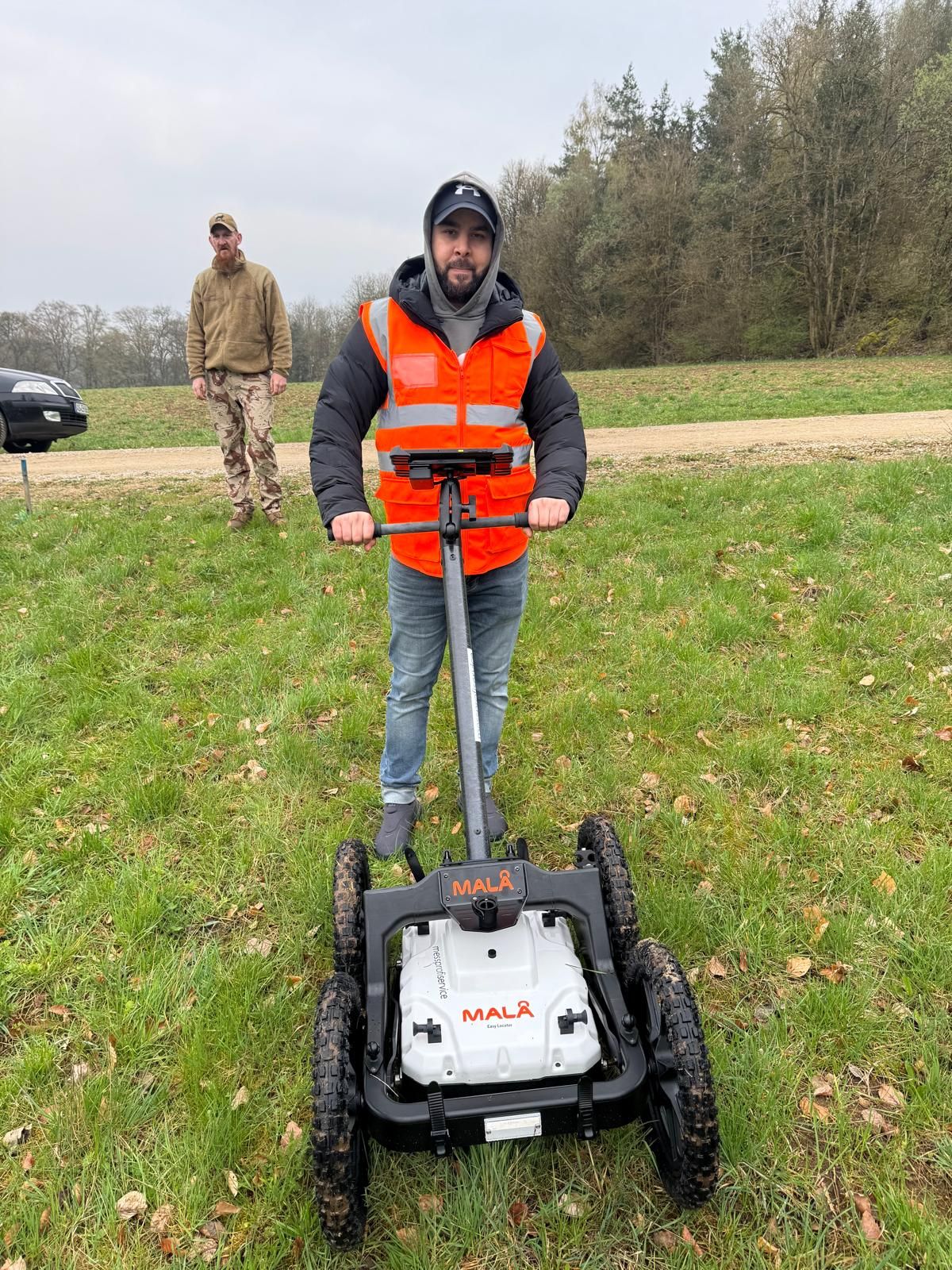

Further preparation focuses on the specific investigation task and use of existing records.
For unclear terms in a report, check which investigation, area and depth they refer to. For specialist coordination, identify the relevant passage and associated plan appendices.
Understand the context of explosive ordnance assessmentThe commission, scope and limitations are decisive when assessing existing documents. Coordinate handover with the next ground intervention: are the affected areas and depths covered, what limitations apply and which specialist questions must be clarified before execution?
Understand assessment scope and recordsA specialist enquiry connects the historical basis with the present project. State which decision you want to prepare and which documents are already available.
Enquire about a construction project with existing documentsNo. The term describes deployed ordnance that did not function as intended. It is not limited to bombs. A historical assessment must also consider whether other causal scenarios are relevant alongside air raids.
Not on its own. The event must be located spatially and assessed together with available sources. General local history or proximity to a former target does not identify an ordnance item on the specific area.
Such a blanket conclusion is unsound. Date of photography, coverage, visibility and interpretation limits must be considered. Historical assessment and technical investigation answer different questions.
Its area, question or data basis may cover only part of the current design. Check spatial reference, available sources and limitations, as well as changes in the meantime. Age alone makes a report neither worthless nor sufficient.
Stop work at the find location, do not touch or move the object and keep your distance. Warn others without putting yourself at risk and notify the police immediately: 110 in Germany, 113 in Luxembourg. The police coordinate handling of the find with the responsible specialists. Further project work is coordinated with the responsible parties.
As soon as the area and proposed use can be described sufficiently. Early assessment helps identify missing information before tendering and construction. The work required depends on available evidence and the specific task.
A current site plan, description of interventions and complete existing assessments with appendices are helpful. Add known authority conditions, earlier investigations and unresolved questions about spatial assignment. Missing documents are identified as such.
Relevant factors are the task, size and context of the area considered, existing documents and the need to obtain and assess additional sources. The scope required is agreed on the basis of the specific project question; a general place name alone does not provide a reliable cost basis.
Not every detail needs to be resolved for initial coordination. What matters is clearly distinguishing available information from unresolved issues.
Provide the address or region, plot reference and a current site plan. Mark the construction site, route, borehole points and additional working areas. Describe proposed intervention depths and construction methods insofar as they are already defined. State the elevation reference used for depth values. For several construction sections, identify the areas and times needed separately. Unresolved design alternatives remain identifiable so that investigation preparation can proceed from the interventions actually proposed.
Submit historical assessments with appendices, existing survey reports, earlier documents, utility plans and known authority conditions. State whether documents are available only as extracts or individual plans have not yet been assigned spatially with certainty.
State project status, proposed construction dates and the next decision. Is an early design to be assessed, a tender prepared or an existing record reused? Identify the project parties responsible and documents still missing. Compare the technical terms used with the report and knowledge overview, and record unresolved assignments for specialist coordination. With a traceable plan version and available reports, the specific historical or technical task can then be agreed.
Whether historical aerial photograph analysis, explosive ordnance surveying, surface surveying using GPR, magnetometry or TDEM, deep-ground surveys, downhole surveys, excavation supervision, area clearance or ordnance recovery is needed depends on the location, ground disturbance, depth, ground and existing documents. An early ordnance assessment provides clarity for tendering, programming, occupational safety and construction.
FONTANA-EOD combines its Section 7 SprengG licence, specialists holding Section 20 SprengG certificates of competence, suitable survey and clearance methods, and traceable documentation. Send the site plan, depth of ground disturbance, construction phase and existing documents for an initial technical assessment.


