Project pathway
The quickest route to the right decision.
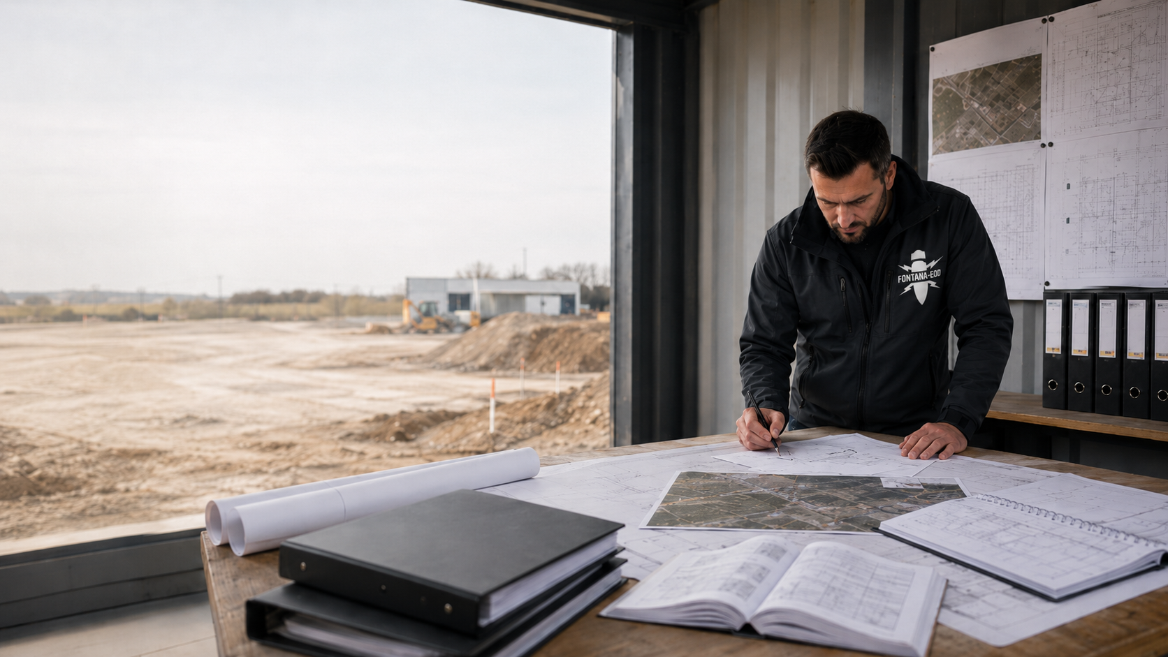
An indication of possible explosive ordnance should be clarified by specialists before a property purchase. As a private specialist company, FONTANA-EOD reviews existing documents and unresolved investigation questions with purchasers and project managers. Send the report with appendices, a site plan and known construction intentions. What matters is the evidence about the area, which parts have already been investigated and which ground volumes your later design affects. These determine the specialist questions for purchase preparation.
Read reports with site plans and appendices.
Describe later interventions specifically.
Clarify unresolved specialist and contractual questions.
Suspected explosive ordnance describes an indication requiring clarification; a find is not yet confirmed. For purchase preparation, existing evidence is assigned to the affected area and its current or intended use. What matters is which assessment earlier investigations support for proposed groundworks and which specialist questions remain. This may lead to targeted additions and the next project-specific decision.
A report may describe several stages of work. Purchase preparation needs to establish what assessment follows for your own area and intended use.
The BFR KMR provide technical guidance for recording, investigation, assessment and documentation within their scope. For purchase preparation, technical evidence is described traceably. Contractual parties clarify with their legal and notarial advisers how tasks, costs and known evidence are treated in the specific purchase contract.
Suspected explosive ordnance describes a justified need for clarification. The suspected area represents its spatial reference. Check the basis of the representation and whether it concerns the whole property considered. The term alone does not establish which technical investigation has already been performed or is needed next.
Consider the suspected hazard and planned use togetherA survey is a technical search using a suitable method. Its result belongs to a defined commission and investigation volume. Purchase review therefore needs the plan, depth, measurement conditions and interpretation read together. An earlier measurement at a few points cannot simply be transferred to other proposed interventions.
Distinguish investigation tasks technicallyClearance and recovery are specialist activities distinct from investigation and assessment. What matters is whether this work was actually performed and for which volume it was documented. Area clearance with a described scope or an individual recovery each answers a particular task; later use must still be compared with this scope.
Understand clearance and recoveryA record described as clearance must be read with its specific area, depth and method references. Documentation shows the task performed and its assessment limits. Have it explained whether the record fits the proposed groundworks and which areas or depths it does not cover.
Read evidence and the limits of its conclusionsEOD means Explosive Ordnance Disposal. UXO stands for Unexploded Ordnance and describes ammunition prepared for use or deployed that has not exploded. These terms may appear in international expert reports or project files. For purchase preparation, the activities and results described are assigned to the respective property area; the specific assessment follows from commission, execution and report.
Understand EOD and UXO in the project contextKBD commonly stands for Kampfmittelbeseitigungsdienst, a public explosive ordnance disposal service. The authority involved and its procedure are determined using the property location and specific question. Official information must be read with its content and reason. It is distinguished from a private investigation commission and its technical result.
Distinguish responsible authorities and specialist commissionsBaufachliche Richtlinien Kampfmittelräumung provide technical guidance within their scope. German Social Accident Insurance publications cover occupational safety and safe specialist procedures, among other subjects. A regulatory reference helps interpret a report but does not replace checking the commission, spatial scope and result actually documented.
Understand guidelines and their technical scopeExplosive ordnance clearance during construction connects proposed construction stages with suitable technical investigation, assessment and agreed handovers. The procedure used must fit the task and actual conditions; observing an excavator alone does not describe this specialist service. If an old report mentions such work, the areas actually investigated, depths reached and documented handovers are essential. For later new construction, its ground volumes are compared with this scope.
Understand investigation during constructionObtain all available documents in full. Brief summaries or individual map extracts may omit essential investigation limits.
Check which property areas, intervention depths and questions a report addresses. Appendices and site plans belong with it. A record concerning an earlier utility does not automatically answer a question about a new excavation elsewhere on the property. Also read the commissioned service: historical assessment, technical measurement and completed clearance produce different results. The assessment desired for purchase should therefore be identified before an old note is used as a basis for the entire development.
Distinguish historical indications, technical measurements, assessments and clearance work actually performed. Record which areas were not treated or could only be investigated to a limited extent. Missing information should be explained by specialists before it informs the purchase decision.
Assign official information to its issuer, date and reason. Ask about further reports, appendices and later evidence. Keep related versions available together, such as the written report with results plan and later additions. An isolated extract often leaves unclear whether a depicted boundary belongs to the commissioned volume or only a drawing. Missing parts are specifically requested from the owner or authorised holder. Contradictory information retains its respective origin until specialist clarification.
For purchase preparation, assessment of previous use is compared with the new project. Describe as specifically as possible what is to happen after acquisition. For an existing development, an extension, different foundations and new connections may each affect additional ground volumes. These working areas are assigned individually even if they belong to the same property and purchase contract.
If, for example, a new building with a basement is planned, extent, proposed depth and possible shoring interventions belong in the specialist enquiry. Draw the structure and working volumes needed together. This may include temporary excavations and areas for proposed excavation support. State the planning stage and identify geometries still open. The specialist company can then explain which areas or depths an earlier report actually covers and where the proposed intervention extends beyond it.
Connections, chambers or other proposed groundworks may also lie outside an earlier investigation area. Show the proposed individual measures together. Consider the alignment up to the intended connection point and known crossings with existing utilities. If part lies on another area, describe it with its own location and necessary contacts. Additional working areas thus remain visible during purchase preparation rather than emerging only during later detailed design.
If an additional investigation is to take place before purchase, access, use rights and possible interventions must be agreed with the owner. First clarify the question to be answered and whether available documents are already sufficient. For site work, the areas needed, accessible areas and proposed activities are then described. Coordination also considers ongoing use and provision of existing utility information. Method, scope and commissioning are agreed for this task.
In Germany, a property purchase contract under Section 311b BGB generally requires notarisation. Known indications and outstanding investigation questions should be raised early in legal review of the contract. This clarifies how documents, further investigations, consent and any cost questions are treated in the specific contract. It helps to identify unambiguously the report actually available, missing appendices and outstanding technical answers. Technical assessments and agreed next tasks thus remain traceable at later handover.
Section 442 BGB concerns the purchaser's knowledge of a defect; Section 444 BGB limits reliance on an exclusion of liability where a defect is fraudulently concealed or a quality guarantee given. Which conditions apply in an individual case and which claims arise are examined legally using the specific facts and contractual provisions. Specialist assessment of explosive ordnance documents describes the supported technical status and remaining questions for this purpose. Contractual parties discuss with their advisers what this evidence means for their agreements.
In your document overview, distinguish established results, specialist questions still to be answered and matters to be regulated contractually. For an additional investigation, identify the expected result and spatial scope. Record which answer is needed for the upcoming decision and who should provide it. If a question can only be answered after a later planning stage or another construction stage, this prerequisite remains explicitly assigned. Even with several parties, it is then clear which basis already exists and which task must continue.
The costs of an explosive ordnance survey and the time required depend on the specific scope and actual conditions. Area, intervention depths, accessibility, existing interference, interpretation and documentation needed inform specialist quotation coordination. For construction projects with suspected explosive ordnance, proposed sections and necessary preliminary work are also described. Parties agree the purchase price and contractual cost allocation on the basis of their specific contract. Any price reduction is clarified there; investigation sequence and prerequisites for later construction start receive separate planning and official coordination.
Next steps depend on supported evidence and unresolved questions. Blanket statements about an entire property are of limited help.
Request the plans and results appendices belonging to the report. Often only these show which areas and depths were treated. Identify missing information specifically and clarify who can provide complete documents. The specialist question is then related to this documented status.
An earlier utility or small extension may have involved different interventions from a new basement or deep foundations. Compare former and proposed ground volumes. Specialist assessment checks whether the existing result is meaningful for this or a targeted addition is needed. Also describe later changes: if areas have been built over, soils relocated or new installations constructed, this information is connected with the previously documented conditions. Further work concerns the specific difference between the existing record and construction activity proposed now.
Describe construction intentions already foreseeable and identify unresolved alternatives. Different depths or building layouts may create different investigation needs. Existing documents are initially assessed in relation to these alternatives. A largely retained existing use and later new construction may, for example, pose different questions about the same area. The specialist interim status identifies assumptions supporting assessment. Once location and construction form are defined, the documented investigation volume is compared with the more detailed design; unresolved areas remain identifiable until then.
The key question is what an existing result says about the ground intervention proposed in future.
An investigation may concern only part of today's plot or a particular route. Old property designations and changed plan versions must be assigned traceably. Add intended construction areas to a current site plan. For division or amalgamation, former investigation boundaries are connected with today's purchase areas. The specialist query should identify which area can already be assigned unambiguously and where a representation or information is missing. The investigation volume actually documented, including its limiting information, remains decisive.
A depth value needs an understandable reference. Terrain changes, filling or different design elevations may complicate comparison. Provide existing elevation references and planned construction geometry. If only a depth below the former ground surface is stated, its position at the time of investigation is traced insofar as the documents allow. An assumption that it equals today's ground level is clarified as an unresolved question. Only once elevation is assigned can specialists assess how the previously investigated volume and future intervention fit together.
Existing utilities, foundations, reinforcement and ground composition may affect measurements. A report should show which limitations existed and how they were assessed. Methods record different physical properties: magnetic interference is particularly relevant to magnetometry, while ground conditions and radar-wave propagation affect ground-penetrating radar, among other factors. A measurement signal is interpreted by specialists and connected with the specific search task. For property purchase, what matters is the assessment actually achieved under documented conditions and which limitation justifies further work for the proposed intervention.
Before investigation, define which outstanding assessment is needed for purchase or construction preparation.

If traceable historical information is missing, the unresolved question and volume needed are described with existing official information and reports. Necessary research or historical aerial photograph assessment uses suitable available sources. Assessment identifies its basis and spatial conclusions for the property. Missing image coverage, obscured areas or contradictory documents remain identifiable insofar as they affect assessment. The evidence gained informs further investigation planning; any technical fieldwork needed receives its own commission and documented scope.

For piles, boreholes or other deep points, location and proposed depth are described. An existing area report is compared with this by specialists. If an additional deep-ground survey is needed, it receives a defined ground volume and result objective. Selection considers suspected objects, existing interference and the assessment technically achievable. If a point is later relocated or the planned depth changes, this deviation is assessed by specialists before execution. Access, consent and necessary coordination are clarified for the work actually proposed.

Where different construction forms or restricted measurement conditions exist, method selection is agreed by specialists. Describe existing structures, accessible areas and the proposed intervention. The specialist company determines a suitable approach from objective and conditions and identifies expected limits. A blanket choice based only on property size would, for example, insufficiently account for existing structures, interfering installations or inaccessible areas. Any investigation is therefore offered for the specific question and later assessed against its actual result.
Purchase review gains its technical context from later use and the groundworks expected for it.

Show the building extent, basement, foundations and any shoring together. Working volumes may extend beyond the structure visible later. Existing results are therefore compared with the whole proposed construction activity. Design changes remain traceable as work progresses.
Understand the excavation and foundation taskA property may initially be used in part and developed further only later. Describe currently foreseeable interventions separately from other options. Available reports and outstanding requirements are assigned to each section. Also clarify shared infrastructure areas that may be affected before the later construction section. If a section receives its own investigation and result handover, its location and work status remain identifiable. Later planning can thus trace which documented assessment it refers to and which additional volumes remain to be considered.
Assign investigation questions by construction sectionFor existing buildings and technical facilities, access, utilities and foundations may affect investigation. Show proposed demolition and later working volumes. Some areas are accessible already, others only at a changed construction stage. Identify retained structural elements and known underground infrastructure as well as proposed changes. Necessary investigations and protective prerequisites are agreed before each preparatory ground intervention. Evidence is assigned to sections actually accessible for work so that later additions can be planned for the changed conditions.
Describe existing-site and alteration tasks technicallyInvestigation needs and contractual questions are addressed using the same available documents but with different responsibilities.
State location, purchase stage and desired use. Explain which question needs a specialist answer before the next decision.
Collect existing official information, investigation reports and appendices. Documents are checked for spatial reference and traceable work status.
Existing historical evidence is connected with the property and proposed working volumes. Where additional evidence is needed, the necessary source research or aerial photograph assessment is carried out. Its results and limitations form the basis for further investigation planning.
Where additional surveying or later investigation during construction is required, objective, suitable method and scope are determined from existing evidence and local conditions. Access, consent, necessary participation and commissioning are clarified before the proposed work.
The commissioned survey or suitable specialist supervision is performed under the agreed conditions. Areas actually treated, measurement data or observations, interference and uninvestigated volumes are recorded with location and, where applicable, depth references.
Specialist assessment connects collected data and findings with the investigation objective, actual measurement conditions and planned use. Scope achieved and limitations are explained. Remaining questions receive their spatial reference to the proposed construction activity.
The specialist service performed and its assessment are documented traceably. Report and associated plans identify the volume considered, information used, actual result and its limits. Additions receive an unambiguous relationship to the existing status.
Documented evidence, outstanding tasks and follow-up measures needed inform the next decision. Purchasers and project managers agree further specialist commissions. Contractual parties discuss legal questions and necessary agreements with their responsible advisers.
The appropriate specialist task follows from documents and the specific decision question.
First clarify which background information and appendices belong to it. It can then be determined whether historical research, technical investigation or further assessment is needed.
Understand outstanding specialist clarification needsRead commission, investigation volume, result and limitations together. Targeted interpretation can explain which assessment exists for the proposed groundworks.
Understand the report and assessment limitsConnect the available property documentation with construction planning. Later interventions receive their own spatial reference and traceable investigation needs.
Plan the transition to construction preparationSend the available documents with a site plan and brief description of intended use. Identify the question to be clarified before the purchase decision.
Send property documents for assessmentTechnical assessment should rest on complete information that can be assigned spatially.
Assign site plans, plot information, historical assessments and official information to their issuer and work status. Appendices remain available with the report. Contradictions between documents are identified so that they can be clarified specifically during specialist coordination.
Measurement data, survey results and assessments of findings are assigned to each investigation volume. Where clearance work was performed, the corresponding reports and clearance records are included. The collection distinguishes a planned measure, completed service and its documented result. Where several contractors are involved, it remains clear who treated and interpreted which part. For a later specialist query, related datasets, appendices and report versions are kept available according to the agreed delivery scope.
Record which assessment the documents support for the proposed intervention and which questions remain unresolved. Any addition required receives a spatial and technical reference. Identify the plan version used and use assumed so that the assessment can later be compared with changed construction intentions. Technical evidence thus informs further planning and legal contract review understandably. The responsible parties can identify which documents exist for their decision and what clarification remains outstanding.
What assessment does the existing report support for your planned use? Send property documents with a site plan and description of proposed interventions. Identify missing appendices and unresolved area or depth references. FONTANA-EOD agrees with you which documentation is needed for specialist assessment and where assessment limits lie.
Discuss records relating to property useFor the specific task, investigation commission, occupational safety and local participation are coordinated. In Germany, the following regulations concern different activities and responsibilities. Legal arrangements for the property purchase are clarified with the responsible advisers using existing evidence and proposed agreements.
For commissioned handling of explosive ordnance in Germany, the necessary permit, personal competency and the appointment of responsible persons under the Explosives Act are assigned to the activities actually transferred. The First Ordinance on the Explosives Act (1. SprengV) governs specialist knowledge and state-recognised courses, among other matters. Commissioning clearly identifies which specialist service is to be performed and what participation needs clarification.
In Germany, the employers involved assess the hazards arising from their activities and define suitable protective measures. Actual working conditions and necessary coordination between companies must be considered. The DGUV Information 201-027 supports risk assessment during explosive ordnance clearance work. The DGUV Rule 113-003 concerns dismantling or destroying explosives or corresponding objects, including disposal of found ordnance. It is considered in relation to this activity scope. Known installations, access and continuing use must therefore also be communicated for an additional investigation.
The BFR KMR describe specialist work and documentation within their scope; they are also generally suitable for measures outside federal responsibility. For the specific property location, official requirements and local responsibilities are assigned to the case. For a possible explosive ordnance find, notify the locally responsible police immediately; in Germany, call 110. The responsible authorities arrange further hazard response. A planned investigation for purchase preparation is organised with the documents and participation it needs.
An understandable basis connects existing evidence with intended use.
Reports remain readable together with their plans, appendices and subsequent additions.
Investigation boundaries and current property geometry are connected traceably.
Depth, extent and other groundworks are described as far as already possible.
Uninvestigated areas and technical limits remain visible in assessment.
Any addition has an identified evidence objective and defined ground volume.
Specialist investigation, official participation and contract review are assigned.
The address alone is rarely sufficient for specialist work. It does, however, help assign existing official information and responsible contacts correctly.

State the location, plot reference and a current site plan. Include official information already received with its reason and associated area. The responsible authority and procedure depend on the actual property location and case. For an enquiry before ownership transfers, clarify which representation or authorisation documents are needed there. Requirements from another location are compared with the present case. Applications, specialist commissions and necessary consent each receive specific contacts.
Assign the property region and official informationIf a purchase concerns several parcels, their documents and planned uses are assigned separately. Different work statuses thus remain visible. A report may, for example, concern a contiguous former area while purchase planning covers only individual present-day parcels. Identify which volumes actually form part of acquisition and construction planning. Shared questions are then grouped without blurring individual investigation limits. At handover, it remains clear which area an assessment and any addition needed concern.
Understand several property areas traceablyHistorical assessments, technical investigations and results reports provide different types of evidence. For purchase preparation, they are considered together with their respective purpose and spatial reference.
Historical indications are considered with their investigation volume and underlying documents. For the property being purchased, what matters is the assessment that actually follows. A historical assessment is not treated as equivalent to an already completed technical investigation.
Understand historical evidence for the areaIntended use determines which ground volumes are considered by specialists. Existing conditions and earlier results inform selection of a suitable service. Additional investigations are prepared with a specific question.
Determine the appropriate investigation task
A report is read together with plans, findings and limitations. Spatial reference should show which assessment is possible for the proposed intervention. Unresolved areas remain traceably documented.
Compare records with the proposed use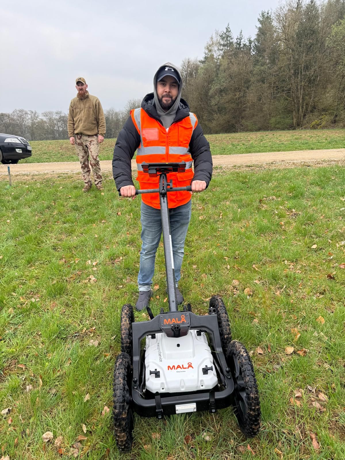

Choose the further information relevant to your unresolved question.
Historical, technical and construction-related tasks are connected with actual needs.
Determine the appropriate specialist task for the propertyAssign reports, plans and assessment limits to the area investigated and later use.
Understand reports and their reach
Submit available documents and the proposed intervention for specialist coordination.
Discuss documents before the purchase decisionThe decision rests on the supported evidence, planned use, specialist clarification still needed and terms of the specific contract. A suspicion is first assessed for its basis and spatial significance. Purchasers and contractual parties clarify with their technical and legal advisers which answers are needed for the upcoming decision.
Specialist assessment should have the associated reports with plans and appendices available. Only these show which areas, depths and tasks were actually investigated and what limitations exist.
A result is first assigned to its documented investigation volume and task performed. Evidence from a neighbouring area may help specialist assessment; its significance for your own property and proposed intervention must nevertheless be checked with justification. Location, depth, former conditions and current construction intentions are considered together.
The parties clarify commissioning, consent and cost responsibility in advance for the specific task. Technically, effort is affected by factors including area, intervention depths, existing documents, accessibility and interference, as well as interpretation and documentation scope. Contractual cost allocation is agreed with the responsible advisers. Services and any official steps required receive their respective clarified responsibilities.
Do not touch, move or investigate the object. Keep your distance and notify the locally responsible police immediately; in Germany, call 110. The responsible authorities arrange further hazard response. A specialist enquiry for planned purchase preparation is handled separately.
Specialist assessment compares the commission, investigation volume, result and limitations with planned use. Missing documents and unresolved investigation questions are identified. Purchasers and project managers can align further specialist commissions with this. Contractual parties clarify the purchase decision and legal arrangements on the basis of specific evidence and agreements.
Selection follows the unresolved specialist question, existing evidence, construction intentions and local conditions. First, the objective and assessment needed are defined. Where investigation is required, suitable method, scope, access, consent and commissioning are agreed specifically. The result subsequently remains related to the volume actually treated.
Describe known intentions for use and unresolved alternatives. Existing results can be assessed in relation to these. Once location, depth and construction method are defined more precisely, it is checked whether the documented assessment covers the specific intervention.
The more precisely the property, evidence and planned use are described, the more specifically the unresolved specialist question can be addressed.
Send the project address, plot reference and site plan together with all available explosive ordnance documents in full. Identify appendices missing or available only as extracts. The reason, date and commission for earlier investigations also help assessment. For several report versions, identify related versions and additions. If a document still needs to be obtained, state who has received the request and which specific information is outstanding.
Describe buildings, excavation, foundations, utilities and other proposed groundworks. Add known depths and construction dates. If planning is still open, identify foreseeable alternatives and the associated decision question.
State whether an additional investigation before purchase is being considered and what access coordination has already occurred. Identify contacts, desired decision date and the specific specialist assessment needed. Scope and commissioning are agreed separately. For the initial response, it helps to distinguish the answer needed before the next decision from questions for later detailed design.
Whether historical aerial photograph analysis, explosive ordnance surveying, surface surveying using GPR, magnetometry or TDEM, deep-ground surveys, downhole surveys, excavation supervision, area clearance or ordnance recovery is needed depends on the location, ground disturbance, depth, ground and existing documents. An early ordnance assessment provides clarity for tendering, programming, occupational safety and construction.
FONTANA-EOD combines its Section 7 SprengG licence, specialists holding Section 20 SprengG certificates of competence, suitable survey and clearance methods, and traceable documentation. Send the site plan, depth of ground disturbance, construction phase and existing documents for an initial technical assessment.


