Project pathway
The quickest route to the right decision.
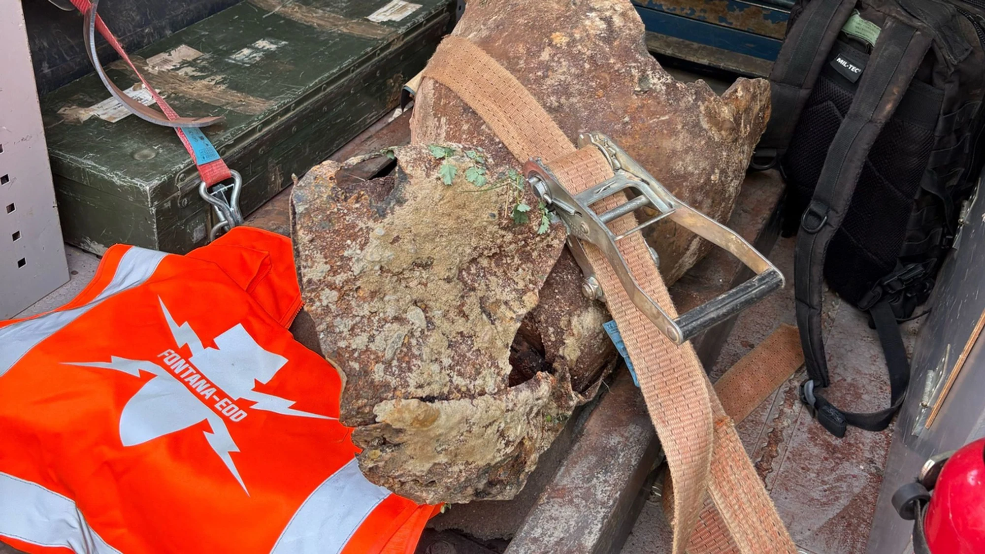
Documented ordnance finds from survey and clearance work: related photographs show finds and fragments in overview and detail. The identification catalogue supplements the image series with specialist background and examples of shapes.
View related photographs as an image series.
Understand find groups and catalogue references.
Look up specialist information directly in the catalogue.
Technical information
Examples of shapes, terminology and guidance for specialist assessment of suspected ordnance finds. Similarity in shape alone does not permit a conclusive determination of type or condition.
Photographic documentation
Related photographs show found objects and fragments from different perspectives.

Whether historical aerial photograph analysis, explosive ordnance surveying, surface surveying using GPR, magnetometry or TDEM, deep-ground surveys, downhole surveys, excavation supervision, area clearance or ordnance recovery is needed depends on the location, ground disturbance, depth, ground and existing documents. An early ordnance assessment provides clarity for tendering, programming, occupational safety and construction.
FONTANA-EOD combines its Section 7 SprengG licence, specialists holding Section 20 SprengG certificates of competence, suitable survey and clearance methods, and traceable documentation. Send the site plan, depth of ground disturbance, construction phase and existing documents for an initial technical assessment.


