Project pathway
The quickest route to the right decision.
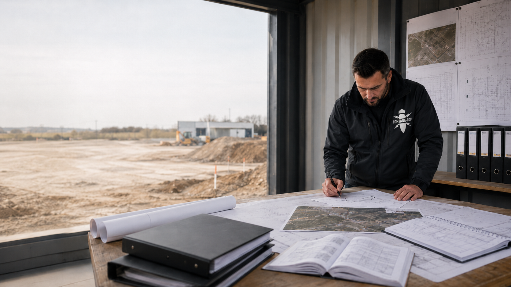
A historical indication, incomplete information or an older report may be decisive for the next ground intervention. Clients, planners and site management need to know what evidence exists, which area will be developed and how deep the work is planned. Provide FONTANA-EOD with the available documents and your current construction design. Together, we can clarify which specialist question remains open and which investigation is needed to answer it.
Distinguish source, location and scope of information.
Specify area, depth and construction method.
Clarify open issues before work begins.
Suspected explosive ordnance requires specialist assessment for the proposed intervention. Available evidence, the area actually affected and the planned depth are considered together. Further work may involve additional historical research, a technical investigation or checking existing records. The task required and the authority to involve are clarified on the basis of the project location, available evidence and construction design.
For each document, ask about its origin, current status and spatial reference. Different types of information answer different questions.
Aerial photographs, historical uses or documented events may establish or narrow down a suspected hazard. Their specialist interpretation for the affected area is decisive. The periods covered and the limitations of the available sources matter. Previous railway or industrial use is initially information to investigate; a specific explosive ordnance hazard is established from it only through specialist work for the respective site.
Check which areas and depths were actually investigated, which methods were used and which limitations the report states. This includes all plan appendices and the scope of the task at that time. For an older report, also ask whether terrain, buildings or existing utilities have since changed. A neighbouring property or earlier construction section may have different conditions. The report is therefore assigned precisely to the part of your construction site that its documented assessment actually covers.
Missing plans, inaccessible areas or a report without a clear elevation reference remain identifiable gaps. Mark these areas as unresolved on the current plan and identify the missing information. Where a map extract has no entry, first clarify whether the area was covered by the work at all. Only a known scope of investigation or information makes such a representation useful for the project.
For initial coordination, the proposed intervention and available evidence are presented together. State which decision is coming up: for example, preparing an excavation, commissioning foundation works or reusing an older report. This makes clear what assessment the specialist work should provide and which parties need it for their next tasks.
Show the excavation, utility sections or individual foundation points on the site plan. Specify planned depths with a traceable elevation reference. Working spaces, lateral extensions and additional intervention points must also fit within the investigated volume. If the area has been filled or excavated since the earlier investigation, include available information about former and current ground levels. A depth below a former ground level can be used for the current excavation or foundation design only after this comparison.
Describe whether excavation, drilling, piling or another intervention is planned. Specify construction sections and handovers needed. Preparatory works may also affect the ground, such as creating access routes or additional starting points. Record which of these activities are planned before the main work itself. Survey planning is linked to this sequence so that the evidence needed for the next intervention is available in time.
Identify existing utilities, paved surfaces, buildings and areas with restricted access. Reinforced concrete, metal-bearing fill and installed infrastructure can affect geophysical measurements. Known former excavations and changes in ground composition are therefore also useful to the specialist company. Describe which areas can be accessed on foot or by vehicles and when site facilities or material storage areas are to be established. This information supports investigation under the most suitable local conditions possible.
A useful basis for decisions identifies the assessed area, the construction activity assumed and remaining open issues. Agree who will obtain additional information, who will assess the result and when it must be available for construction planning. Record assumptions and changes traceably. For a larger construction section, a separate representation of areas already clarified and those still requiring work may be necessary. Site management can then identify the basis available for each proposed activity.
Check the relationship to the current design again if location, intervention depth or use changes. An earlier result may remain useful but must fit the new question. We explain the precise scope of a record in our explanation of an explosive ordnance clearance statement.
For an unresolved question about proposed construction work, the available documents are first reviewed by specialists and, where appropriate, discussed with the responsible authority. This determines further investigation needs. A changed route, deeper foundations or a new working area may raise a different question from the previous design. Identify the change explicitly. Existing results can still be used insofar as their spatial and technical scope fits the new task.
If, instead, a potentially dangerous object is found, stop work at the find location. Do not touch or move it, keep your distance and warn others without putting yourself at risk. Notify the police: in Germany on 110, in Luxembourg on 113. The guidance on immediate action after a find explains how to respond. Report the find immediately; later specialist project coordination is prepared separately afterwards.
Historical indications, measurement data and specialist assessments serve different purposes. For a construction project, they are related to the proposed intervention. A clearly defined investigation volume and an understandable description of the result help clients and contractors assess correctly what the documents mean for their respective tasks.
Historical information or a measurement finding initially provides a basis. The specialist assessment establishes its significance for a defined area and a specific task. It also considers the planned use and prepares the decision on further work needed. Keep data, interpretation and the measures derived from them clearly distinguishable in your project file. A measurement signal flagged as anomalous and a confirmed explosive ordnance find are documented as different levels of evidence.
Compare the plan with the available evidenceThe boundaries of a suspected area may differ from the property boundary and proposed construction site. Overlay the representations and clarify their spatial reference. An investigation may concern part of the property while the new construction work extends beyond it. Conversely, an indication may relate to an area outside the proposed intervention. Assessment considers the actual overlap, depth and planned activity together.
Distinguish the available evidenceSurveying records measurement signals using a method suitable for the task. Interpretation relates the results to the agreed investigation objective. Clearance work may follow and, depending on the commission, include further specialist activities such as uncovering and recovering identified explosive ordnance. For an enquiry, it therefore matters whether the initial task is to narrow down a suspected hazard, investigate a measurement area or examine an already identified finding further. Scope and prerequisites are expressly agreed for each step.
Understand surveying and further servicesA documented assessment is read together with its spatial, depth and service scope. The record includes associated plans, limitations and unresolved areas. For later construction work, it is checked whether the activity lies within the investigated volume and is to be performed under the conditions described. A summary statement in the report is used together with the appendices. Site management must be able to trace which specific intervention the assessment concerns.
Understand the scope of a clearance statementOfficial information and decisions and a commissioned specialist investigation are assigned to their respective tasks. KBD and KMBD are common German abbreviations for public explosive ordnance disposal services; organisation and responsibilities vary by region. The client provides the project information, the specialist company describes and documents its service, and the responsible authorities handle their respective official tasks. The parties to involve are clarified on the basis of the project location, activity and existing requirements.
Distinguish roles and responsibilitiesAn intervention during ongoing earthworks needs a procedure agreed with specialists. Simply observing excavated material does not replace a necessary technical survey. Describe the work sequence and investigation objective rather than inferring a particular service scope solely from the term excavation supervision. In particular, the investigated sections, procedure before further interventions and documentation of the stage reached need to be clarified. Execution must comply with the proposed method and defined requirements.
Define the task during earthworksEOD stands for Explosive Ordnance Disposal. UXO stands for Unexploded Ordnance: explosive ordnance prepared for use or deployed that did not function as intended. In German, it is often described as Blindgängermunition. In a project file, such terms are related to their actual meaning. The specific evidence and commissioned scope of work are decisive for the construction site.
Understand technical terms in the project contextRecovery concerns the proper retrieval of identified explosive ordnance as part of its disposal. It is commissioned with its proposed scope and the necessary authorisations. For construction organisation, the responsible contacts, reporting of findings and subsequent decisions are clarified in advance. Clients and site management ensure that information is understandable; specialist execution is undertaken by duly authorised personnel.
Distinguish surveying from further specialist servicesBFR KMR provide a technical framework for investigation and clearance on federal properties. DGUV stands for Deutsche Gesetzliche Unfallversicherung, the German Social Accident Insurance. Its relevant information and rules support assessment of hazards and protective measures. Requirements for the planned activity are clarified for the specific project.
Read about the regulatory framework for the proposed activityThe quality of a decision depends on whether different documents describe the same volume and stage of work. A precise comparison reveals gaps and keeps the basis of an assessment traceable. It concerns both spatial information and the actual investigation question. A statement about historical evidence of suspected ordnance, for example, is used differently from the result of a completed technical investigation.
A property plan, historical assessment and investigation plan may show different boundaries. Check their relationship using the available spatial references. Where correspondence remains unclear, it is clarified by specialists. Plans from different stages may additionally require a common spatial reference or supplementary survey information. Send complete files and legends. A single screenshot or plan extract may omit important information on scale, reference and investigation boundaries.
A depth needs a traceable reference, such as the ground or starting level described in the plan. Former and current conditions may differ. Include available elevation information so that the scope of a report can be compared with the new intervention. For drilling, the starting point, starting elevation and planned final depth are considered together. For excavation across an area, it must be clear which ground level the existing investigation relates to.
Inaccessible areas or areas that can only be evaluated to a limited extent form part of the result presentation. Their significance is compared with the planned construction activity. Show, for example, whether an investigation boundary runs along a utility, building or paved area. Identify the outstanding task for these areas. The summary and plans should show the same stage of work so that the report remains understandable when passed to another company.
If a route is moved, foundations deepened or another section added, the previous evidence is considered again in relation to it. An apparently minor design change may affect a volume not previously investigated. Present the former and new designs side by side with dates. Specialist work clarifies which existing assessment still applies and what additional work is needed for the changed intervention.
The next service follows from the project's unresolved questions. Historical assessment, technical investigation and review of existing records may build on one another. For geophysical methods, suspected objects, ground conditions, interfering objects and accessibility inform selection. Which work makes sense first is defined for the specific property and proposed construction activity.

If earlier uses or relevant sources have not yet been assessed, historical work can improve the evidence base. It places available evidence in its technical and spatial context. Any further investigation arising from it is considered alongside the current intervention and the project's other conditions.

For drilling or foundation works, the starting point, reference elevation and depth must be considered together. The deep-ground survey is planned for this task; its capabilities and limits remain part of the assessment. The working space required and nearby installed structures are also considered. Identify any planned relocation of starting points early so that its relationship to the investigation can be clarified. A borehole clearance statement is used with the point and depth interval actually investigated and its documented assessment.

For earthworks undertaken in sections, it is defined what assessment must be available before each intervention. Access, interference and construction sequence inform method selection. Where investigation during construction is required, specialist work steps are coordinated with construction progress. This includes understandable handovers between the specialist company and site management and a documented record of completed sections. A clear service specification distinguishes technical investigation from visual observation alone.
Excavations, utility routes and alterations affect the ground in different ways. The investigation depends on the specific location, depth, work sequence and local conditions. The project type describes the reason for the work; assessment rests on actual evidence for the affected area.

Planned excavation may extend beyond the eventual building footprint. Working spaces and access routes must therefore be considered when describing the construction activity. Compare existing investigation plans with the volume actually affected and identify areas not yet covered. If individual structural elements need deeper foundations or additional working areas are proposed, these must be shown in the plans. This allows investigation scope and construction design to be related to one another before procurement.
Assess the construction site and excavationUtility alignment, chambers and connections differ in location and intervention depth. For planning, these tasks are shown section by section. Existing utilities, crossings and restricted access may affect investigation. Assign existing evidence to the relevant sections and intervention points. If the route moves as planning progresses, its relationship to available results is checked again. A continuous utility alignment does not replace a representation of individual excavations at different depths.
Distinguish routes and connection areasAn operating site or previously developed property does not automatically provide an assessment covering all new interventions. Previous construction work, installed infrastructure and available working areas may matter for preparation. Describe specifically what is to change from the existing situation.
Prepare new interventions in existing sitesWork is coordinated with the available evidence and planned use. Required documents, investigations and decisions are given a traceable place in the construction sequence. The specialist company, planners and site management coordinate handovers so that the documented status is available for each next intervention.
Describe the construction activity, project phase and upcoming decision. A specific question, such as whether an earlier report can be used, can be addressed more precisely than a general request for property clearance.
Provide existing information and investigations in full. Identify sources, missing appendices and apparent contradictions. This includes earlier investigation commissions and their spatial limits. In procedures under BFR KMR, the stage of work is assigned to the standard procedure. For other projects, the parties clarify which existing results can be used for the respective task.
If existing historical information needs to be supplemented, suitable aerial photographs and other sources are interpreted by specialists. Results receive a clear spatial reference and identify the periods covered. Identified indications and source limitations inform further assessment; the current construction design defines the project question to be clarified.
Compare the construction site, points and depths with existing assessments. Record where the spatial reference is established and where it still needs clarification. The underlying plan version also remains identifiable.
The next specialist task is derived from unresolved questions. This may include additional background information or technical investigations. Method, scope and local interfaces are coordinated with actual conditions.
The specialist company undertakes the agreed investigation within the defined area. Access and construction-related interruptions are coordinated with site management. Completed areas, relevant deviations and particular measurement conditions are recorded. For work in sections, the parties receive the status needed for the next intervention. Execution remains linked to the agreed method and investigation volume.
The investigation provides data and a specialist assessment within the agreed scope. Report and plans must be understandable together. Limitations and unresolved questions form part of the handover. Discuss which results are needed for the immediately following construction section and what additional documents other project parties should receive. The construction activity assessed and plan version used remain identifiable when the result is applied.
Further planning is related to the documented status. If location, depth or construction activity changes, its significance must be assessed again by specialists. The basis on which the next section was prepared thus remains traceable.
The available evidence determines which information is needed first. Where information is missing, obtaining and assessing it takes priority; where a report exists, its relationship to the current intervention is central. A changed construction design and an actual find each require a different form of coordination.
First describe the location and construction activity. Further coordination clarifies which information and sources can be used for the project and where additional background information is needed. State which authorities have already been contacted and which responses remain outstanding. Scheduling also benefits from knowing whether the project is still being developed or individual groundworks are already being prepared. Available evidence is supplemented step by step and assigned to its respective stage.
Clarify historical information specificallyPlace the report, including maps and appendices, alongside the current design. Identify which part is to be used for the new intervention and what limitations the report contains.
Read existing records in contextDescribe the change from the previously assessed situation. Location, depth and construction method are as important as the decision the renewed review is intended to prepare.
Compare the changed intervention with the specialist assessmentStop work at the find location, leave the object unchanged and keep your distance. Notify the police immediately: in Germany on 110, in Luxembourg on 113. Reporting to the police takes priority; subsequent specialist coordination of the construction project takes place separately.
Read how to respond safely to a findA sound project file connects the initial situation, proposed construction activity and specialist result. It also records unresolved questions. Planners, clients and site management can then identify the basis for the next step.
Compile official information and historical assessments with dates, spatial references and appendices. Distinguish your own assumptions from written assessments. Identify missing documents so that additional information needs can be clarified. Where several documents exist, also record which earlier information a later report refers to. Relationships between documents thus remain traceable.
The plan should show which areas are to be affected and in what sequence. This includes proposed depths and, where relevant, individual drilling or foundation points. Changes from the earlier task remain traceable even if the rest of the construction section is unchanged.
A completed investigation is handed over with a report, plans and limitations. Record which question the result is used for and what remains unresolved. A clearance record or survey report gains practical value through this context. For area clearance, the work performed and result are documented as specifically as for investigation of individual points. Planners and site management thereby receive the information relevant to their tasks. Where clearance work has actually been carried out, the clearance record documents the areas and depths treated, clearance scope performed and result.
Do you want to use a report for a proposed intervention or understand its limitations? Compare the existing records with the current construction design. Specify area, depth and the outstanding decision. Further specialist work can then be coordinated precisely.
Discuss records and the proposed interventionPlanning needs both technically suitable investigations and clarified responsibilities. General guidance, occupational safety requirements and local procedures are considered in accordance with their respective purposes.
Local responsibilities and procedures are clarified for the project location. The BFR Kampfmittelräumung apply to the federal properties specified within their scope. For other construction projects, record which technical requirements are agreed and which local provisions must be considered. The specific assessment connects available evidence with the proposed intervention and the decisions required for it.
Evidence is assessed for the individual area and planned use. The spatial and technical limitations of the documents remain clear. The assessment determines the next step required and identifies remaining questions. For planners and site management, it is recorded which assessment is used as a basis and what additions may still need to be arranged.
For specialist work in Germany, the prerequisites under explosives legislation are related to the proposed scope of activity. These include, in particular, the appropriate company permit under Section 7 of the German Explosives Act and the certificate of competency under Section 20 for the relevant responsible persons. Client and specialist company clarify which qualifications must be demonstrated for the specific service. The respective employers assess work-related hazards under Section 5 of the Occupational Safety and Health Act and define the protective measures required for their activities.
The First Ordinance on the Explosives Act (1. SprengV) specifies requirements concerning specialist knowledge and recognised courses, among other matters. For commissioning, the prerequisites are related to the proposed activity and responsible persons. This forms part of specialist preparation of the commission and coordination of execution.
The DGUV Information 201-027 supports risk assessment and definition of protective measures during explosive ordnance clearance. The DGUV Rule 113-003 concerns dismantling or destroying explosives or corresponding objects and includes disposal of found ordnance. Its application is related to the work actually planned. Clients therefore need to know which preparatory, investigative or further specialist activity is to be commissioned.
Procedures differ by project location. In Hamburg, the responsible authority requires information on suspected explosive ordnance before ground interventions; a register check alone serves planning purposes there. Berlin, by contrast, expressly states that there is no general legal obligation to obtain this information and that it is not relevant to building permission. For preparation, this means clarifying site-specific requirements and necessary documents with the responsible authority. For projects in Luxembourg, the responsibilities and procedures applicable there are considered.
Sound coordination connects complete documents with the current construction task. The parties can trace which basis is used, who assesses it and which information must be available for the next work step.
All parties refer their information to the same traceable version. Different plans are identified by date and extent of changes. The version used must be recorded for commissioning and later handover. Supplementary sections and elevation information belong to the respective plan version. When data is submitted later, its relationship to the previous stage of work is stated.
Area, point and depth are connected with the proposed intervention. The investigation and its assessment receive an unambiguous spatial reference. If another area is to be used, its investigation status is checked separately. This boundary remains clear even in a brief results summary.
Missing appendices, unclear spatial references and restricted investigation areas remain identifiable. They are stated as specific tasks with contacts and the time by which the work is needed. Planning can thus account for which reliable information is already available and which questions still need specialist clarification.
The client organises project information and commissioning. Planners and site management relate results to their respective tasks. The specialist company assesses and documents the commissioned service; responsible authorities make official decisions. Contacts and handovers are agreed for the specific project.
The method is justified by the investigation objective and local conditions. Access, ground composition and interference inform selection. The service also includes interpretation and presentation of the result achieved. This allows the proposed investigation scope to be compared with the actual project question.
At handover, it is clear which design builds on which result. Later changes are compared with the previous status without losing earlier limitations or unresolved issues.
A traceable location helps assign documents and responsibilities correctly. For several construction sites, unambiguous section names are used. Official information, historical results and current intervention plans thus remain assigned to the same spatial area. Different levels of evidence can be addressed specifically in further coordination.

State the municipality, address or another unambiguous location for the project. Assign official information to this area. The documents required by the responsible authority are clarified for the location. The Hesse explosive ordnance disposal service, for example, requires an accurate plan with the property boundary marked for a written enquiry. The regional overview helps with orientation; specific procedural questions are discussed with the responsible authorities.
Identify the project location for coordinationFor longer routes or several construction sites, available evidence and documents may differ. Keep these differences recorded section by section. For each area, it remains clear which investigation or official information exists and which construction activity is proposed. When a new section is commissioned, the contractor receives the relevant set of documents and outstanding questions.
Assign evidence to regional sectionsA project file often contains documents serving different purposes. For further planning, their assessments are considered together without treating historical assessment, technical investigation and documentation as equivalent.
Interpretation of available sources can place the affected area's history in context. The result needs a spatial reference and specialist assessment. It is connected with the current design for the proposed intervention.
Relate historical assessment to the project
The investigation is tailored to a defined task. Location, depth and local measurement conditions help determine which method is suitable and how far its assessment extends. Assessment follows from the actual investigation scope.
Distinguish technical tasks and methods
Report, plans and limitations together form the basis for subsequent use. The next project decision must make clear which assessment is being used and which outstanding questions still need to be addressed.
Read documentation for the next decision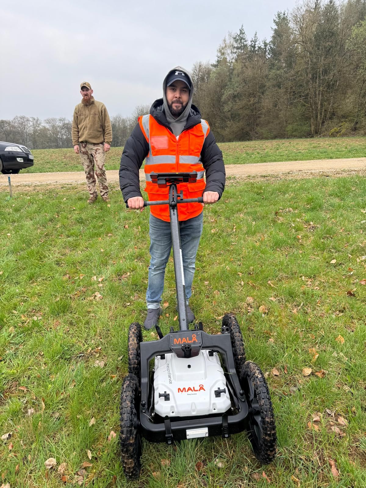

The outstanding task determines the relevant further information: obtaining historical evidence, preparing a technical investigation or clarifying how a report can be reused. For an enquiry, existing evidence is connected with the proposed intervention and the decision needed.
The services overview helps distinguish historical and technical work. Use it to prepare a specific task that can then be checked against local conditions.
View appropriate survey tasksThe process section explains preparation, execution and handover. It supports comparison of an existing report with the current project and traceable transfer to other project parties.
Understand scope and handovers
Identify the specific decision and submit the available plan version. Identifiable gaps also help define the further work if they are explicitly described as unresolved.
Submit the construction project with documentsWhether clarification is required, and what kind, depends on the project location, available evidence and proposed ground intervention. Clarify local requirements early and compare existing information with the area, depth and construction activity. There is no single survey method for every construction project; the method is selected for the specific task. The process connects document review and any historical research required with method selection, surveying or suitable supervision, assessment and documented handover. Before the next ground intervention, the results are compared with the construction design.
Compile the project location, site plan, construction activity and intervention depths. Clarify what information is available at the project location and which existing investigations can be taken into account. Missing information should be identified explicitly. The authorities responsible at the project location determine official requirements within their remit. The specialist company undertakes the agreed investigation and specialist support; contacts and the decisions needed are clarified before the respective work.
Only insofar as its spatial and technical scope actually covers the new section. Compare area, depth, method, result and limitations. A nearby investigation does not automatically clear your proposed intervention.
When the relevant basis changes, such as land use, the location of an intervention or its depth. It must then be checked whether the previous assessment still covers the changed situation and what additions are required.
Relevant factors include the quality and completeness of documents, investigation area and depth, methods, accessibility, interference and construction sections. Additional investigation of findings or a changed design may alter the scope. For a quotation, known conditions and the assessment needed are described as specifically as possible.
A different or limited assessment may apply to that area. Read the stated limits alongside the survey plan and compare them with the proposed intervention. The need for additional work is clarified by specialists.
No. Alongside depth, the investigation objective, suspected hazard, ground conditions, interference and access are relevant. These conditions are assessed together before a suitable method and its scope are defined.
Stop work at the find location, do not touch or move the object, keep your distance and warn others without putting yourself at risk. Notify the police immediately: 110 in Germany, 113 in Luxembourg. Report the already known find location from a safe distance and follow the emergency services' instructions. Do not approach the object to identify it more precisely.
Describe the planned construction activity and existing evidence. Unknown information is explicitly identified as unresolved. To coordinate with FONTANA-EOD, you can let us know about available documents through the contact section. Official information and decisions are obtained from the responsible authorities at the project location. Clarify the required service scope and available project documents as well as the tasks of the specialist company and responsible authorities together at an early stage.
Attach a site plan showing the construction site, route or intervention points. State proposed depths and the associated plan version. For individual drilling or foundation points, an unambiguous relationship between point and starting level is helpful.
Send official information, reports and historical assessments with all appendices. Identify missing plans and known limitations. Where statements conflict, provide the relevant documents together and show the discrepancy. First check spatial reference, stage of work and purpose. Specialist assessment clarifies which statement can be used for the current intervention and what additions are needed. A cover sheet or single summary is often insufficient for this comparison.
Describe whether a design is to be prepared, a service tendered or a section handed over. State changes and when coordination is needed. Also identify proposed interfaces with surveying, ground investigation and construction. Planned construction sections and known access conditions help prepare a quotation. Any unresolved information is passed on with its current status so that additional clarification needs can be considered in service scope and scheduling.
Whether historical aerial photograph analysis, explosive ordnance surveying, surface surveying using GPR, magnetometry or TDEM, deep-ground surveys, downhole surveys, excavation supervision, area clearance or ordnance recovery is needed depends on the location, ground disturbance, depth, ground and existing documents. An early ordnance assessment provides clarity for tendering, programming, occupational safety and construction.
FONTANA-EOD combines its Section 7 SprengG licence, specialists holding Section 20 SprengG certificates of competence, suitable survey and clearance methods, and traceable documentation. Send the site plan, depth of ground disturbance, construction phase and existing documents for an initial technical assessment.


