Project pathway
The quickest route to the right decision.
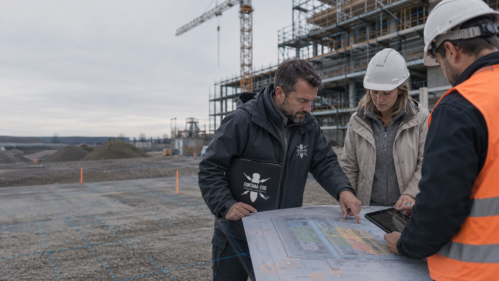
For insurers and corporate risk managers, FONTANA-EOD reviews which areas and depths ordnance reports actually cover and which findings remain unresolved. The technical assessment links the existing documents to your specific property or construction project. Send the original question, complete reports with appendices and the current intervention plan to agree the review commission.
Who investigated what, and when?
Which areas and depths are covered?
What information is still missing?
References from project practice
The Plattling case shows how measurement results, areas investigated and investigation limits are documented. The project location links to the published reference information.
Project information is loaded from the reference list.
Select a project location from the place selector or choose a point on the map.
The markers show official place centres. The associated references state the construction task, services performed and documented scope.
Map data: © GeoBasis-DE / BKG (2026), VG250 / GN250, dl-de/by-2-0; Luxembourg: ACT / data.public.lu, CC0. Geometries projected and simplified for display.
An ordnance report documents the area investigated, the method used and the relevant conditions. For insurers, owners and corporate risk managers, this status is compared with the specific property or construction question. Missing evidence and additional investigation questions are assigned to the section concerned. The responsible parties assess insurance cover, liability and possible compensation using the contract and agreed insured event.

Existing documents are reviewed to establish which areas and findings they address. Historical suspicion is distinguished from an investigation already performed. The technical response identifies the evidenced status. Missing information remains identifiable as outstanding questions for further coordination.
Clarify the evidence base
Plan appendices and report text are considered together. They show the space investigated, method used and documented conditions. Answers to queries remain tied to this scope. Even a brief response identifies the spatial reference of the result.
Check investigation scope against the evidenceThe proposed groundworks are compared with the existing investigation status. Changed areas or depths remain identifiable. The specialist contractor can identify the additional technical question arising. The report is retained with its original subject.
Compare the current project with existing reports
Gaps relating to the specific task are recorded with their spatial reference, and additional investigation needs are directed accordingly. The responsible parties determine the subsequent contractual or commercial decisions according to their respective roles.
Select services for additional investigationsChoose the question describing your current need. The scope of the ordnance check is derived from it. Reviewing reports, investigating on site and making commercial decisions are different tasks.
If a written question already exists, the review starts with its exact wording. A question about known findings requires a different answer from a question about an investigation performed. Define the area concerned and the date of the response. The technical contribution refers to the relevant reports and their actual spatial scope.
Prepare technical queriesWhere a ground intervention is imminent, plans and existing investigation results are compared. Attention focuses on the next specific task: a new foundation, utility section or early investigation point. The areas and depths required must be known before selecting the method. Site management then receives a basis relating to that section.
Integrate ordnance assessment into construction preparationFor a transaction, the completeness and spatial assignment of the data room take priority. Summaries are checked against original reports and appendices. Missing information should be described precisely enough to request it from the seller or responsible author. Technically unresolved areas remain identifiable in the decision-making material.
Have property documents technically reviewedFinancing discussions may depend on which investigations are complete and which services remain outstanding. Results and outstanding tasks are therefore assigned to planned construction sections. Existing cost estimates are identified with their actual service scope. The technical account provides information for the next decision. The responsible financing partners decide on lending and financing terms.
Present investigation status for financingWhere the report and appendices are complete, a targeted explanation may initially be sufficient. Identify the unclear statement and the recipient of the answer. One question may be whether a marked boundary shows the investigation area or merely the site facilities. If the explanation reveals a need for additional field investigation, this is scoped separately. The effort depends on the question and how readily the documents can be understood.
If a map, reference point or description of the original commission is missing, obtaining it is often the next step. Request the complete version where possible. The missing original plan is needed to check the former investigation limits. If documents are no longer available, the response explains which conclusion cannot therefore be drawn and which technical addition may be appropriate.
A new extension or different utility route may lie outside the previous investigation space. The new plans are first defined. Only then can it be decided whether additional historical assessment, technical investigation or a combination is needed. Results already suitable for use are retained. The additional commission identifies the area still requiring investigation and the evidence needed, distinguishing them from the existing results.
Record the author, date, commission and plan revisions used. Historical information, a technical assessment and a later survey report serve different purposes. Where third-party documents are used, their contribution and any missing appendices or maps should remain clear. Even for a PDF report, check that the associated plans and appendices are complete. A historical aerial photograph analysis can supplement existing documents; it does not replace an investigation on site.
Check that areas, depths, elevation references and excluded zones match the project currently considered. A survey of a corridor does not automatically establish the status of the whole property. For conversion work or deeper foundations, compare the planned works with the areas and depths actually covered by the earlier report.
Distinguish measurement anomalies, technical interpretation and objects actually identified. Documented limitations or uninvestigated areas do not confirm the presence of ordnance, but must not be reinterpreted as showing no anomalies either. The report should show which findings are resolved and where further investigation remains outstanding.
Describe the technical conclusion required, for example the extent of an earlier investigation, missing appendices or the investigation needed for a new intervention. Identify the area concerned and the planned intervention depth. The question is assigned to the ground intervention described.
For several properties, an enquiry should contain more than a general list of addresses. Assign the specific technical question to each site. One site may have a complete investigation report while another has historical information only. Belonging to the same company does not make these states of knowledge equivalent. The review can therefore be structured around the actual decisions ahead. A property with no planned intervention may need different information from a site where excavation is imminent. Identify these differences during the initial coordination. This allows the service scope to be described traceably without generating one general risk figure for all sites.
Assemble the report, site plans, appendix register, execution period and current plans. Explicitly list missing components. Assign documents from different construction phases to their sections and dates. This keeps the conditions addressed by each report identifiable.
A complete report includes the components needed to understand its spatial conclusions. Check for an appendix register and whether the listed plans were actually supplied. Labels on scanned documents must remain legible. Colour markings can lose their meaning in a black-and-white scan, in which case the original presentation is needed. It should also remain clear whether a map shows the intended scope or the investigation actually completed. Take particular care with files assembled later. Identify a missing appendix as outstanding information rather than deriving a supposedly complete investigation area from other map extracts.
Where possible, send large plans as separate files at a legible resolution. Retain existing scales and legends. If a table refers to drawing numbers, these must be identifiable in the attached drawings.
Agree the recipient, purpose and scope of the technical statement. It should identify the documents assessed, assumptions and limitations. A summary refers to original reports and identifies the areas and depths investigated.
If a brief answer is needed by a specific date, state the purpose as well as the deadline. Distinguish, for example, initial technical feedback, an explanation of a completed report and the result of an investigation not yet performed. These cannot all be answered using the same documents. The technical review establishes what the available knowledge supports and what requires more work. Preliminary feedback identifies its current state of knowledge and the investigations still required. The recipient receives a useful answer to the current question and a clear description of the remaining steps.
An official letter, specialist contractor’s report, site plan and internal project overview can concern the same site but arise from different tasks. The issuer, date and purpose should remain visible for assessment. When several results are combined in an overview, each significant conclusion is linked to the relevant document. This facilitates later queries and prevents an abbreviated sentence from being treated as independent evidence of an investigation.
A technical summary may be easier to understand than a lengthy report, but must retain its essential spatial and methodological limits. A traffic-light symbol or file status does not by itself explain which work is complete. Describe the status actually established and the question still unresolved.
If two documents appear to give different results, first compare the investigation date, area and task. They often concern different sections or levels of knowledge. If a contradiction remains, it is clarified technically with the responsible author. The clarification is documented with reference to the affected area and underlying documents.
Subsequent answers retain a traceable link to the original question. Keep the relevant earlier version too, so that the development of knowledge remains identifiable. For further use, identify the technically authoritative version, not merely the file with the most recent save date.
First establish the recipient, purpose and area concerned. Provide the original question and current project plan. If the design still contains options, identify them separately. The technical answer is thereby related to the agreed intervention and the findings actually available.
Reports are organised by investigation task and plan revision. The areas and depths actually covered are decisive. Missing appendices, unclear limits and possible overlaps are identified. This provides a basis for targeted queries rather than merely collecting document titles. Available historical land-use information and aerial photograph assessments are considered with their respective states of knowledge. If historical questions remain unresolved, additional land-use records are researched and suitable wartime aerial photographs analysed where available. Findings and interpretation limits are linked to the intervention now planned.
For each unresolved question, establish whether explaining the existing report is sufficient or further investigation is needed. For fieldwork, access and current site conditions form part of planning. Scope and form of the result are discussed before commissioning. State decision deadlines so that the technical steps can be scheduled accordingly.
Where additional investigation is needed, area, intervention depth, ground composition and metallic interference are reviewed. The measurement grid and any borehole locations follow the space requiring investigation. Access, existing utilities and investigations before preparatory ground interventions are clarified before commissioning. The specialist planner selects the appropriate investigation method using these conditions and the required conclusion, and explains its suitability for the area concerned.
Fieldwork takes place in the agreed area. Measurement data and findings are linked to position, elevation, depth and the current plan revision. Limited measurement conditions or inaccessible subareas are documented for the subsequent assessment.
The specialist contractor assesses measurement data and findings and describes the evidenced conclusion for the project. Anomalies requiring clarification and unresolved areas remain separately identifiable. Further investigation or any necessary ordnance recovery is coordinated with the relevant spatial scope; documented results enter the project file.
The technical answer identifies the documents used and their significance for the project considered. Unresolved areas and outstanding tasks remain visible. Anyone passing on the documents later should include the related plans and limitations. Insurance or investment decisions remain with those responsible for them.
Provide the specific query with the existing reports and plan appendices. Add the planned groundworks and current project status. FONTANA-EOD can relate its technical contribution to this context and identify missing information.
The answer identifies the documents on which it relies and the area they cover. Outstanding questions remain distinguishable. This facilitates forwarding to the responsible recipients. The parties appointed for those matters add statements on contracts, liability or financing.
New designs or additional groundworks are compared with the previous documents. An earlier technical answer remains bound to its original subject. The current query receives a targeted addition. The information used and each response version thereby remain traceable.
Where an additional foundation is planned on a site used for years, an older report investigating a utility route may provide an existing evidence base. First compare whether the foundation position and depth lie within the former investigation space. Age alone determines neither a report’s usability nor its unusability; commission, method and spatial reference must be traceable.
The risk manager can then record which information in the old report fits the new foundation and which areas or depths were not investigated. The comparison refers to original reports. Previously investigated space and the scope still requiring investigation are identified separately. The responsible parties decide whether to commission additional investigations or initiate contractual steps.
The comparison identifies the report used and the current design. Spatial appendices remain available with the text. Recipients can thereby understand which conclusion is already available for the planned foundation and which area needs separate consideration.
Identify the report, its plan appendix and the construction section precisely enough for recipients to locate the original passage. Where several versions exist, the design underlying the investigation and subsequent changes remain identifiable. Elevations retain their respective reference. If ground levels have changed since investigation, former reference elevations are compared with today’s planned foundation or excavation levels. For outstanding questions, record what information is missing and which responsible specialist organisation must provide it. Later answers are added with their date and corresponding plan revision; the original conclusion remains traceable together with its conditions.
Additional investigation questions are described using the difference between the old scope and the new project. The responsible parties coordinate further work. Earlier results are retained; a new task receives its own technical and spatial reference.
Historical documents help assess former uses and possible grounds for suspicion. Their analysis answers different questions from a field measurement. Recipients must be able to distinguish whether a conclusion comes from archive material or technical investigation. Historical knowledge is neither automatically a confirmed find nor completed clearance.
Where the planned intervention requires further investigation, the measurement objective and site conditions are considered together. Metal installations, fill and restricted access can affect the conclusions. The method is chosen according to this task. A general investigation depth cannot reliably be inferred from the instrument name or property size. Magnetometry detects magnetic anomalies; TDEM detects time-dependent electromagnetic responses from electrically conductive objects. In suitable ground, GPR can provide additional information on structures and layer boundaries. Highly conductive soils can restrict its penetration. Measurement coverage, interference and achievable investigation areas are recorded for subsequent interpretation.
A results report describes what was actually investigated or treated. It links the technical conclusion to spatial scope and relevant conditions. For risk management, the final wording alone is therefore insufficient; its link to plans, execution periods and unresolved subareas also matters. Where ordnance is recovered, the clearance record documents the recovery position, depth and result. Remaining investigation or treatment needs are assigned to the section concerned.
If the existing investigation is insufficient for a deeper intervention, the suitability of a deep-ground or downhole survey is assessed. Starting elevation, structural alignment and final depth help define the ground volume concerned. The measurement grid, borehole positions and investigations required before drilling are coordinated with the task and local conditions.
Where technically appropriate, preparatory excavation can be investigated using technical surveys and controlled removal in layers. Each working layer is technically surveyed and assessed before removal; visual inspection supplements the procedure. Work sections, stop signal, authority to issue instructions, reporting routes and documentation are agreed beforehand. Investigation is repeated down to the agreed excavation base.
FONTANA-EOD addresses the agreed ordnance question using the documents available and investigations commissioned. The commission should identify whether an existing conclusion is to be explained, a new intervention investigated or a completed service documented. This keeps service and result aligned.
Even a short management overview assigns the result to the space actually investigated. A corridor report remains tied to its documented position and depth. When passed between owner, insurer, planner and financing partner, this information is supplied with its plans and unresolved subareas.
Original reports and subsequent explanations are distinguished.
Areas, depths and project status remain linked to the conclusion.
New findings are recorded in relation to the previous question.
They identify the question, provide available documents and explain current plans. This includes the decision being prepared and who will receive the answer. Changes to areas or interventions are communicated for further comparison.
Ordnance work is undertaken within the agreed scope. Ground conditions, contaminated land, structural engineering and other specialist tasks are addressed by the respective responsible parties. Where several technical questions concern the same intervention, the results are brought together for the construction sequence.
In Germany, the federal states’ ordnance disposal services and competent local authorities undertake hazard-response and find-handling tasks. Their involvement and the roles of public order authorities and, where relevant, building control are clarified for the project location. Outside Germany, the relevant local responsibilities apply. Contacts, conditions and reporting routes are assigned to the site and construction section concerned.
They use the technical documents for their respective tasks and may formulate queries. Contract interpretation, commercial assessment and decisions remain their responsibility. Even when reused in this way, technical conclusions are considered only within their documented scope.
In Germany, the insurance contract determines the promised insurance benefit; § 1 VVG describes the typical contractual obligations. Ordnance documents record technical findings for the area and investigation considered. Insurers and responsible specialists use this basis for the contractual and legal assessment of the particular case.
Where document review leads to actual ordnance work in Germany, authorisation, competence and responsibility under the Explosives Act are related to the specific activity. The 1. SprengV includes requirements for specialist competence. The technical investigation commission is described separately and coordinated with the evidence required. § 7 SprengG concerns commercial authorisation for activities requiring it; § 20 SprengG concerns responsible persons’ certificates of competence. Under § 1b SprengG, searching for found munitions also constitutes handling.
When preparing actual work, DGUV Information 201-027 supports risk assessment and the selection of protective measures for ordnance clearance. DGUV Rule 113-003 addresses dismantling or destroying explosives or corresponding objects and disposing of found munitions, and is considered for applicable activities.
The BFR KMR provide technical foundations for investigation, planning and documentation. Their binding scope covers the federal properties specified there; application to other projects is agreed with the responsible parties. Site-specific authority requirements remain decisive.
If a possible ordnance item is found, stop work at the find location immediately. Do not touch, move or uncover it further. Leave the immediate area, keep your distance and keep others away without putting yourself at risk. In Germany, call the police immediately on 110; outside Germany, use the local emergency procedure. Further hazard response and involvement of the responsible ordnance disposal service follow local procedures and official instructions.
When giving information, state whether it concerns the existing site or a planned change. An answer for a particular design should be reviewed for applicability after later changes, even if the property remains owned by the same company.
When a report is forwarded, the appendices and conditions essential to its conclusions should be included. An abbreviated transmission can make interpretation harder. The responsible parties establish which declaration the contract requires; the technical work describes the findings available for that purpose.

Survey trolley on exposed ground with soil stockpiles in the background. A plan should show where groundworks will take place and which areas were previously investigated. For technical coordination, current drawings are compared with the appendices of existing reports.
Submit planned interventions with the documents

Where land-use history and existing aerial photographs are relevant, their conclusions for the specific construction area are clarified.
Historical aerial photograph analysisFor an additional ground intervention, the appropriate survey is selected according to the objective and site conditions.
Select suitable investigation services
State the location and subarea concerned. Add the contact for planning and existing reports. The regional overview facilitates orientation. The specific investigation area and planned interventions remain decisive for the technical contribution.
Reports and official information are provided with their plan appendices and respective subjects. Requirements arising from different tasks remain identifiable. Project participants clarify unresolved responsibilities. The technical answer can thereby be traced to documented sources.
FONTANA-EOD reviews the information in existing ordnance documents, the areas they cover and the questions remaining. The responsible specialists and decision-makers undertake cover assessment, legal assessment of claims and claims settlement. Nor can a general probability of finding ordnance be calculated from a few property details.
The technical contribution describes the evidenced investigation status and outstanding questions. Recipients use this information for their respective tasks. Spatial conditions and limits remain attached. The summary also identifies this documented spatial and technical scope.
Explore results and terminologyReport, plan appendices and technical feedback remain available together. This keeps the basis of a conclusion traceable and allows project organisation to make targeted comparisons after later changes. Abbreviated transmissions should still identify the evidenced scope.
Bring original evidence and technical answer togetherA query about historical knowledge differs from a question about a planned ground intervention. Identify the respective subject and reference needed. The specialist contractor can assign the appropriate documents. Unresolved points are treated as separate further needs.
Explore results and terminologyTechnical information
Which documents help assess a construction project’s ordnance risks? The brochure explains investigation results, their limitations and the importance of traceable documentation.
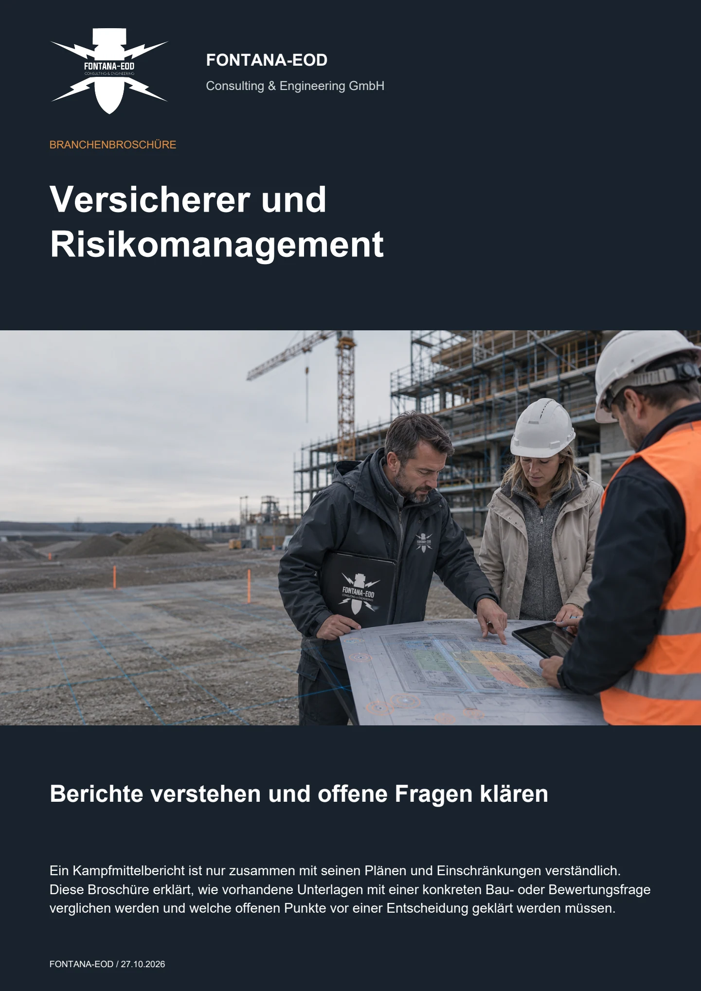
The actual investigation scope, including area and depth, methods used, findings and remaining limitations is required. This information is compared with the current property or construction project. Contractual assessment of insurance cover and obligations is undertaken by the parties responsible for it.
It can provide a relevant basis if its origin, scope and limitations are traceable. For a different project, it must be checked whether the location, depth and construction activity remain covered. Further use remains limited to the technically assessed context.
An anomaly is initially an unusual feature in measurement data. The specialist contractor assesses it using the measurement method, site conditions and any further investigations. Interpretation, objects actually identified and unresolved findings are documented separately. The responsible specialists use these findings for insurance-law assessment of loss or claims.
If an unexpected suspicious object is found, stop work in the affected area immediately. Do not touch, move or uncover it further. Leave the immediate area, keep your distance and keep others away without putting yourself at risk. In Germany, call the police immediately on 110; outside Germany, use the local emergency procedure. The competent authorities determine the next steps. Inform site management and the client; internal notification must not delay the emergency call.
First request the corresponding plans, investigation depths, methods and limitations. If these do not establish the spatial or technical scope of the conclusion, the question remains unresolved. An additional summary cannot replace missing investigation data.
Document review depends on the volume, completeness and legibility of reports and plans, the number of sites and the technical clarification required. Identify the recipient, purpose and decision deadline. Where fieldwork is needed, area, intervention depth, ground composition, interference, access, interpretation and documentation determine the further service scope. The quotation and process are tailored to the specific conclusion required.
Assign each report to its commission, investigated area and underlying plan revision. Later additions retain their link to the earlier conclusion. The most recent file date alone does not determine which report is technically authoritative.
The commissioned area can be defined spatially and by subject. Specify the intervention concerned and the conclusion required. Other project areas remain identifiable as separate tasks; a result for the first section does not automatically apply to them.
In Germany, § 1 VVG governs the obligations arising from the insurance contract. The BFR KMR describe technical foundations for investigation, assessment and documentation within their scope for federal properties. Local requirements and commissioned service scope are considered for each project.
Send your existing ordnance reports with appendices and the current intervention plan. Briefly describe the question, for example whether an older report covers the planned foundation. We discuss the review commission with you and identify the documents or investigations still missing.
Identify the recipient, required conclusion and preferred date. Add the property or construction section, intended use and ground intervention, known changes and missing appendices. For multiple sites, assign each its specific query and related documents.
Survey report and clearance record Scope of a clearance confirmation Costs and service scope Enquire about a document review
Telephone: +49 6843 9994997 · Email: info@fontana-eod.de
Whether historical aerial photograph analysis, explosive ordnance surveying, surface surveying using GPR, magnetometry or TDEM, deep-ground surveys, downhole surveys, excavation supervision, area clearance or ordnance recovery is needed depends on the location, ground disturbance, depth, ground and existing documents. An early ordnance assessment provides clarity for tendering, programming, occupational safety and construction.
FONTANA-EOD combines its Section 7 SprengG licence, specialists holding Section 20 SprengG certificates of competence, suitable survey and clearance methods, and traceable documentation. Send the site plan, depth of ground disturbance, construction phase and existing documents for an initial technical assessment.


