Project pathway
The quickest route to the right decision.
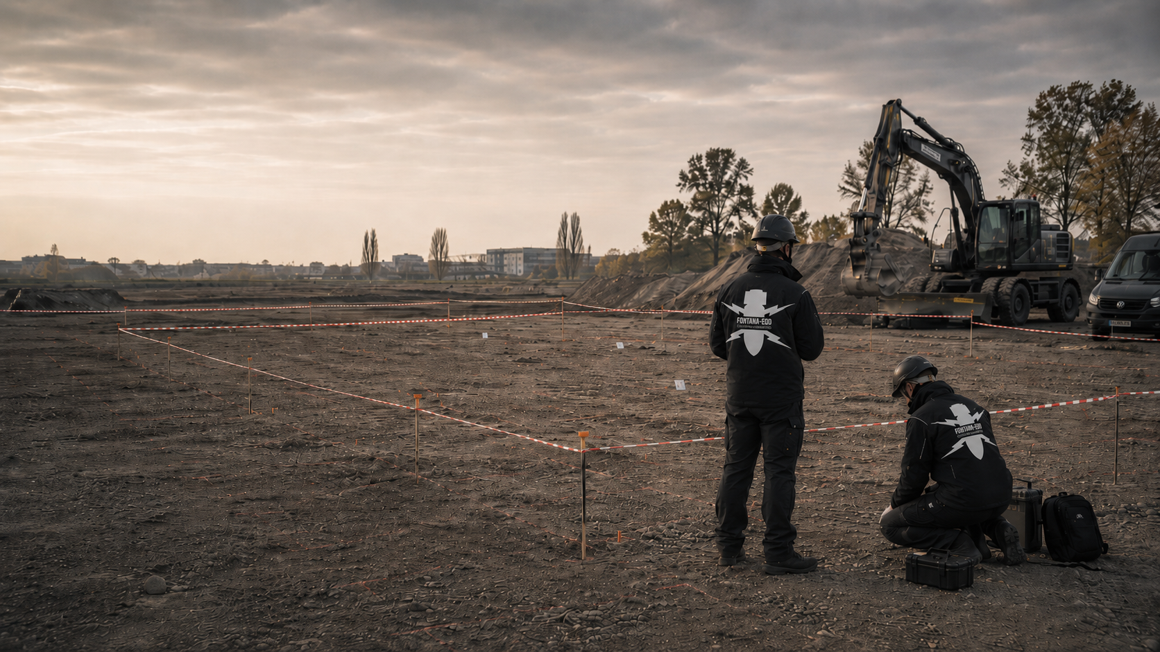
If a suspected area requires work involving ground disturbance, developers and planners need a clearly described clearance objective. FONTANA-EOD assesses the area, depth, anomalies, interference zones and planned use with you. Send a site plan, intervention depth and existing investigation documents so that the clearance method, working sections and records needed for tendering and construction can be defined.
Define area, depth and use.
Work on points, volumes or excavated material.
Document findings and limits.
Area clearance means systematically working on a defined suspected or project area towards a specified objective. It begins where measurement alone is insufficient: georeferenced anomalies must be exposed, heavily disturbed areas worked on layer by layer, or areas that cannot be fully investigated in advance technically examined and worked on during construction.
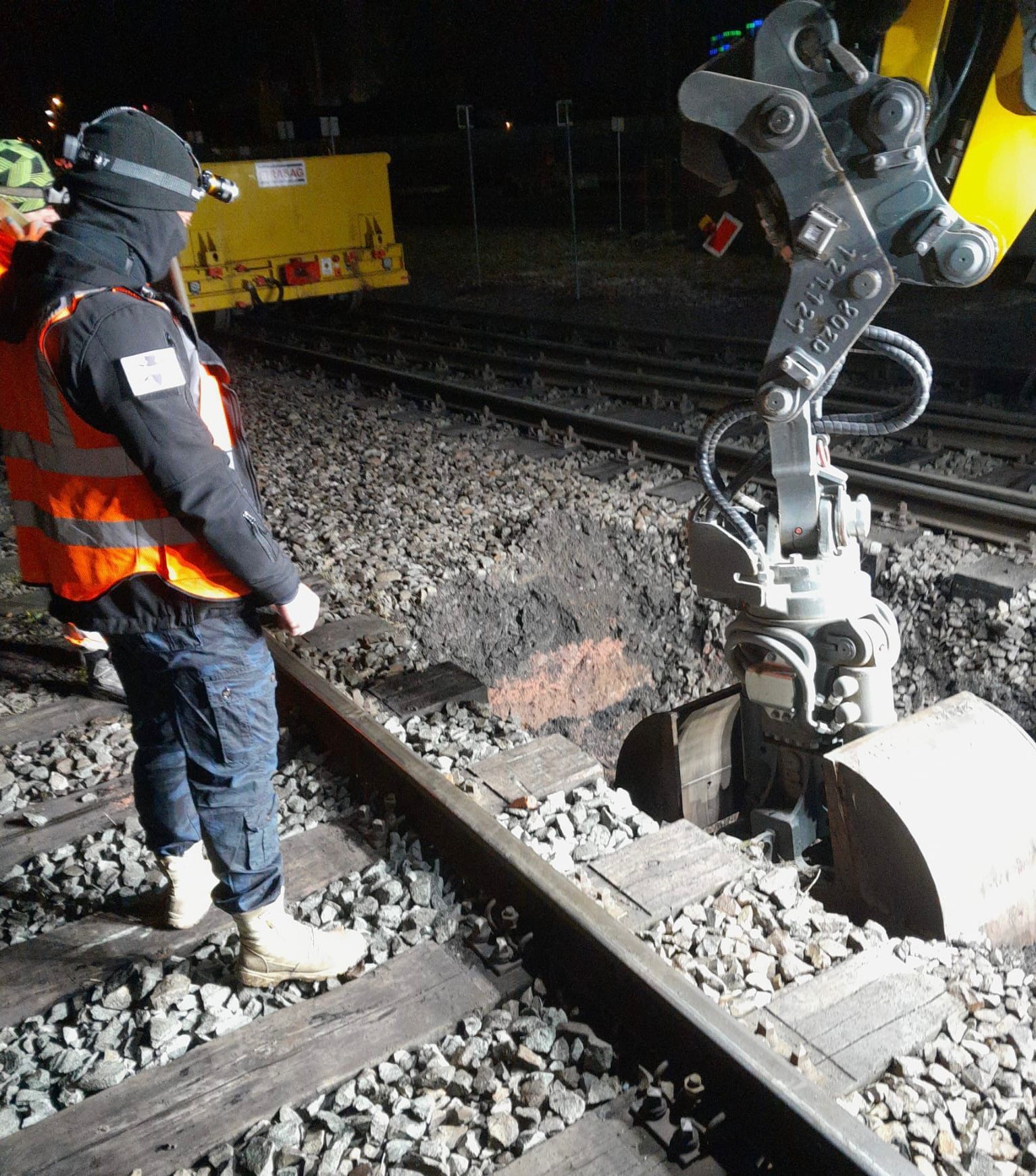
At track 20 in Plattling, safety considerations led to a change to volume clearance and individual-point recovery in October 2026. The report describes protected excavation and checks of the excavation base; the records apply to the areas documented there. View project details.
A project area may include accessible sections, dense existing structures and peripheral zones that cannot be adequately investigated. Professional planning describes these differences from the available findings. The agreed scope is assigned to specific areas and depths. A shared property description does not replace this distinction.
Specify the clearance scope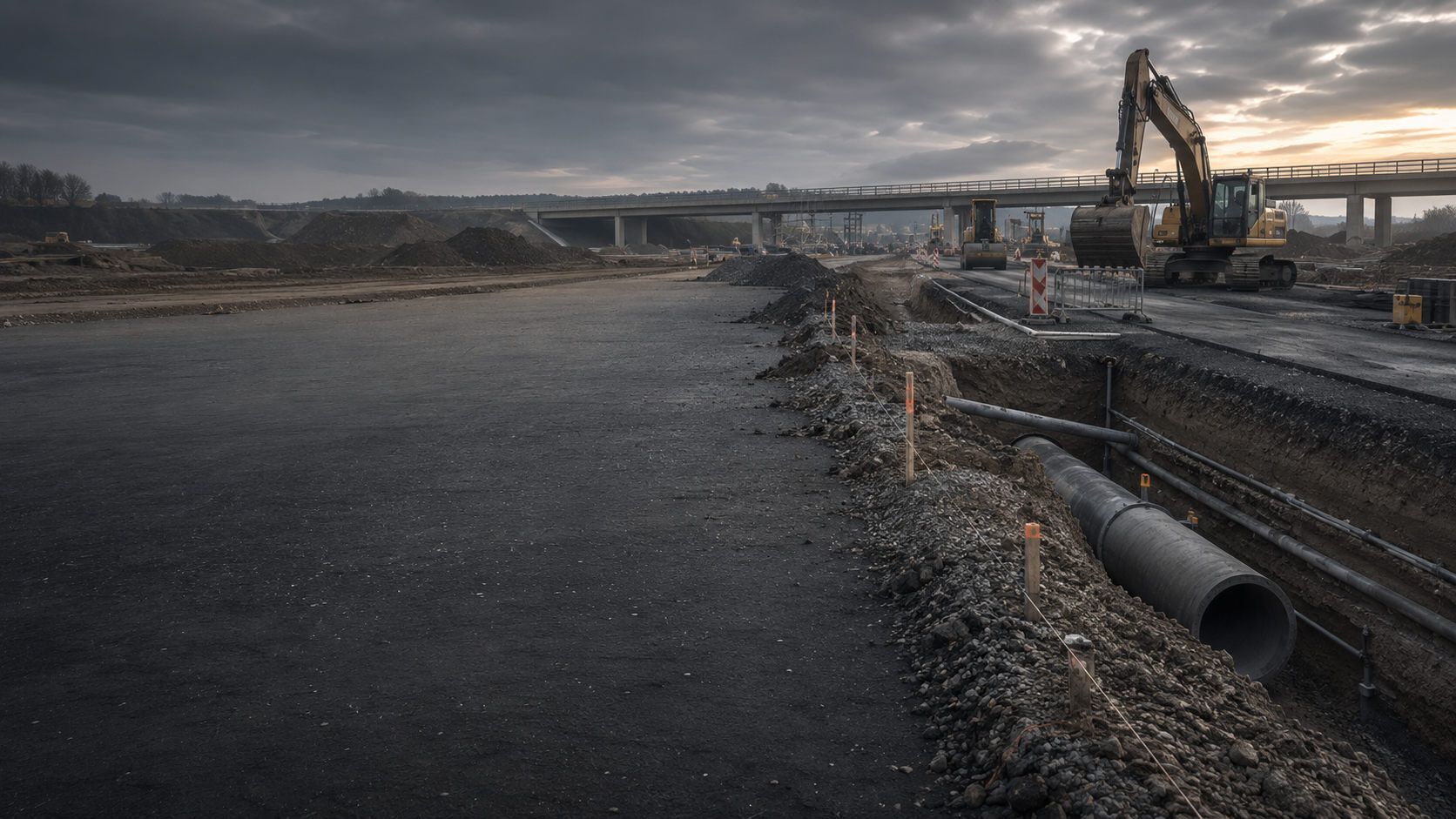
The developer and planners provide existing as-built documents and the current intervention plan. Known information remains distinguishable from unresolved matters. The specialist company coordinates its task with local conditions. Construction and operational decisions remain with the respective responsible participants; the project organisation brings their information together.
Assess work among existing utilities
For staged construction, available areas and later sections are identified on the plan. Unworked areas remain visible in the documentation. Completion of a subtask is thus not silently extended to the entire future project area.
Assign project context and construction phases
A later planned construction activity may affect different depths or areas not previously used. The current plan is therefore compared with the existing report. Earlier documentation is retained. Additional questions are agreed as a separate scope of specialist work.
Continue using the existing resultThe decision to undertake area clearance does not follow merely from the term suspected ordnance. The level of knowledge reached, technical feasibility and specific use of the ground are decisive.
A georeferenced anomaly list may form the starting point for planned work at individual suspected points. Data quality, point identifiers, positional accuracy, priorities and possible sources of interference are assessed before work begins.
Only then is it decided whether exposure at target points is sufficient or whether the density and distribution of indications require broader area clearance. The decision remains tied to the clearance objective, intervention depth and future use.
Have anomalies professionally assessedOn sites shaped by military or industrial activity, historical indications, made ground or former uses may substantiate geographically extensive suspicion. Individual measurement points do not necessarily represent the whole situation.
Planning connects the cause of suspicion, expected range of objects, working area, depth horizon and possible clearance methods. This establishes a clearly defined service scope rather than a blanket clearance requirement.
Define the suspected areaA high metal content, utilities, foundations, reinforcement or heterogeneous made ground can obscure geophysical measurements to such an extent that work based solely on anomalies is neither economical nor professionally unambiguous.
Layer-by-layer work, separation of excavated material or a combination with monitoring during construction may then be appropriate. Inaccessible areas and technical limits are mapped before costing.
Assess disturbed groundWhere the future project clearly defines area and depth, clearance can be related to the space actually required. This may comprise an excavation, foundation, utility zone, traffic area, route section or assembly area.
The commission describes the work due, how control steps are performed and the conclusion needed for the documented area. Structural changes are compared with the clearance planning.
Clarify the clearance objective and recordIf an area cannot be fully investigated or cleared in advance, work can be integrated into the actual excavation. Working layers, equipment deployment, visibility, stop points and communication of findings must be defined before work begins.
Ordnance monitoring does not replace an undefined clearance objective. It documents which excavation sections were worked on under which conditions and which areas were not covered.
Agree specialist excavation supervisionAn anomalous measurement point, an exposed interfering object and identified ordnance are different stages of work. Identification changes protective arrangements, responsibilities and further action.
Ordnance recovery and state handling of finds are therefore planned as a separate coordination stage. Area clearance provides orderly exposure, positional references and documentation; further handling depends on the object, condition and regional framework.
Identify the find-handling procedureA reliable clearance service connects project geometry, the expected hazard source, the technical method and the records due. These definitions determine costing, execution and later use of the documentation.
The clearance objective describes the construction condition or use for which the area is worked on. A shallow utility trench, deep excavation and unsealed green space require different working depths and quality requirements.
The wording must show which project decision is intended after completion. This helps prevent a report being used beyond the agreed area or depth.
Construction boundaries, route chainage, subareas, construction sections and elevation references are maintained in a consistent positional and coordinate system. Ground level, excavation base and individual clearance layers must be clearly distinguishable.
Inaccessible areas, protective strips, existing buildings and utility zones are identified separately. This makes it traceable what was actually worked on even where work is carried out in sections.
The expected range of objects influences detection, exposure, equipment selection and safety arrangements. Individual ferromagnetic objects, conductive objects, munition fragments and extensive scrap content create different requirements.
Clearance planning distinguishes ordnance-related target objects from ordinary construction and ground installations without deriving identification from a measurement signal alone. Anomalies are tracked traceably until professionally resolved.
Soil type, moisture, made ground, foreign materials, contamination and groundwater determine how an area can be opened, excavated, inspected or subjected to separation. Temporary storage and backfilling must also fit into construction operations.
Volume-based methods specify how excavated material is checked, anomalous components separated out and quantities worked on assigned to each clearance layer.
Assessment and control steps are described in the clearance plan from the outset. These may include georeferenced area checks, repeat measurements, checks of exposed suspected points, layer-specific records and checks of unworked peripheral areas.
Acceptance means that the service, plans, findings and stated limitations are consistent. Merely ending fieldwork does not replace a traceable professional conclusion.
Utilities, structures, water bodies, operational installations or inaccessible zones may prevent complete work. These areas remain visible as specific geographical limitations.
A further step is specified for every unresolved area: later provision of access, an alternative method, excavation monitoring, deep surveying, structural adjustment or separate coordination with the competent bodies.
Area clearance is not a single deployment of equipment. Suitable work results from coordinated steps whose limits and handovers are defined in the clearance plan.
For preliminary investigation, the methods respond to different properties: magnetometry to magnetic anomalies, TDEM to conductive objects and ground-penetrating radar to reflection contrasts in the ground. Metal installations can obscure magnetic and electromagnetic measurements; conductivity and heterogeneous soil limit radar investigations. Anomaly and location plans document the conclusions of each method and their limits.
Deep and borehole surveying are used for deep interventions or suspected points that cannot be adequately investigated from the surface. Borehole position, measurement length, casing and magnetic installations limit the volume that can be assessed. Profiles and the point list document depths reached and unresolved areas.

Archive and aerial photograph information explain why an area is considered suspect and which parts should be prioritised. Preliminary technical findings show the location of anomalies, interference zones and measurement gaps.
Both sources of information are related to the clearance objective. Historical assessment of suspicion does not replace fieldwork, and a technical measurement does not replace professional assessment of the expected range of objects.
The source register, historical suspicion map and preliminary technical findings are linked to the current clearance polygon. Image gaps, positional uncertainties and measurement areas that cannot be evaluated remain visible. This makes it traceable which areas and object types underpin the clearance objective.
Assess the starting position
Depending on the project, magnetometry, TDEM or ground-penetrating radar can record measurable anomalies and interference zones. Evaluated data are linked to the site plan, working limits and point identifiers.
During subsequent work at target points, indications are exposed under controlled conditions and assessed. If interference or accessibility leaves areas insufficiently measurable, another clearance method is defined for them.
Measurement traces, sensor arrangement, position data and evaluation criteria remain linked to each prioritised anomaly. Field and finding records retain the same point identifier. Measurement gaps and obscured areas are shown separately from resolved target points.
Clarify surveying before clearance
This method systematically surveys the area and checks every spatially relevant suspected point individually through ground disturbance. After exposure, interfering objects and findings are assessed, documented and incorporated into the updated anomaly list.
The method requires detection and work at target points to be suitable for the soil, depth and interference environment. The final conclusion relates to the measurement and working depths reached and the area actually accessible.
Plan point-based clearance across an area
Where interference is strong or measurement conditions are unsuitable, soil can be removed in layers and investigated under controlled conditions. The clearance volume is defined by area, elevation reference and individual working layers.
Excavation, inspection, technical checks, material separation and temporary storage must be coordinated spatially and organisationally. The report assigns quantities worked on and findings to the relevant section.
Assess volume clearanceIf complete advance clearance is not possible, an assessment establishes whether ordnance surveying during construction can adequately cover the actual working volume. Visual observation of excavated material alone does not replace a necessary technical assessment.
Technical surveying and a professional decision take place before each removal of soil. The defined layer is then excavated under additional visual observation. The next layer is surveyed again; the process repeats down to the intended excavation base. Working widths, equipment operation, stop points and reporting procedures are agreed before work begins.
Layer and section records connect technical surveying, professional decisions and actual soil removal. Findings, stop points and insufficiently assessed areas retain their elevation and construction-condition references. Handover describes the layers actually worked on and outstanding measures.
Prepare specialist construction supervision
When an object is identified as ordnance-related, the responsibilities specified for the find situation, object and project location apply. The protective area, work interruption, communication and further handling are adjusted accordingly.
Clearance documentation records position, exposure, findings, handover and the work status that remains. This makes it traceable how the find was incorporated into overall progress across the area.
Clarify recovery and handoverThe more complete the information on the area, ground and construction, the more clearly clearance methods, protective arrangements, equipment needs and quality control can be described.
Execution requires safe access, coordinated traffic and operating conditions, and clear lines of instruction and reporting. Soil moisture, hard surfacing and existing installations inform method selection. Signal quality and limitations remain documented alongside the depth actually surveyed or worked.
Purpose, area reference, depth horizon and intended subsequent decision are defined with binding effect before work begins.
Where several construction conditions are involved, an assessment establishes whether a shared clearance objective is possible or different requirements apply by section.
Boundaries, subareas, chainage, elevations and working sections are georeferenced.
Actual deviations during execution are updated so that plans and fieldwork agree.
Utilities, reinforcement, scrap, structures and technical installations can obscure measurement data.
Zones that cannot be measured reliably receive an alternative work plan rather than a blanket statement about the area.
Ground structure, moisture, made ground, groundwater and possible pollutants influence equipment selection, excavation and material handling.
Ordnance and contaminated-land requirements are assessed separately by specialists but coordinated within construction operations.
Current utility plans, detection, protective distances and operator permissions are clarified before ground-disturbing work.
Unclear or inaccessible utility corridors are treated as separate areas in the clearance plan.
Excavators, screening or separation systems, transport routes, temporary storage and preparation areas must suit the method.
Working areas are organised to prevent unworked, checked and anomalous material from mixing.
Risk assessment, instructions, protective areas, escape routes and reporting chains are coordinated with the clearance method.
If an anomaly occurs, construction management, responsible specialists and competent bodies must be able to act without unclear transfers of responsibility.
Control steps, record formats, maps, logs and treatment of remaining areas are defined before execution.
Acceptance checks the agreed service scope, not merely the quantity of soil moved.
Usable clearance documentation connects the contractual basis, georeferenced execution, findings, quality control and remaining limitations into a consistent chain of records.
Grounds for suspicion, clearance objective, area, depth, methods, quality control, occupational safety, coordination between participants and documentation are described in a coherent basis for the work.
Tender items must show which services are due within the base scope and which events trigger a defined additional service.
Clearance limits, subareas, measurement fields, excavation layers, utility zones, exclusion areas and inaccessible sections are shown with geographical references.
Plan versions are maintained so that changes to excavations, routes or depth horizons can be compared with actual work status.
Every relevant indication receives a point identifier, position, priority, work status and result. Interfering objects, unconfirmed indications and ordnance-related findings are recorded separately.
The list remains synchronised with maps and field records. No point can therefore disappear from the records solely through a collective textual statement.
Working section, date, technology used, working layer, soil observations, interruptions, checks and findings are recorded with time and position references.
For volume-based methods, material flows, temporary storage and checked quantities are also assigned to the relevant section.
Repeat measurements, visual checks, checks of suspected points worked on and comparison of area coverage are documented.
Interference zones, utility areas, peripheral strips and depths not reached remain visible as specific remaining areas with a further measure.
The completion report connects the starting position, actual scope, methods, findings, checks and limits into a usable project decision.
The conclusion applies to the documented area and depth. Later plan changes or new ground disturbance are compared again with this work status.
The project file links documents through shared identifiers and versions of area definitions. From the planned clearance objective through the work actually carried out and its quality control to the next project step, it makes it traceable which conclusion belongs to which area.
The commission, clearance objective, area definition, elevation reference and agreed quality criteria are documented as the starting position.
Variations and changed construction sections retain a traceable connection to the original commission.
Historical information, survey data, anomaly lists and known findings are brought together with source and location references.
Data gaps and differences in coordinate references are resolved before fieldwork or expressly identified.
Sections worked on, clearance layers, equipment, personnel, field observations and actual obstacles are recorded continuously.
Documentation distinguishes planned services, work actually carried out and unresolved areas.
Exposed objects are documented with point identifier, position, depth, condition, assessment and further handling.
Handovers and transfers of responsibility remain part of the same traceable chain of events.
Measurement and work coverage are checked against clearance limits, anomaly status and control requirements.
Gaps or deviations are addressed before completion or retained as limitations with a decision on subsequent action.
Construction management can thus recognise which areas have been worked on for the next planned step and which conditions continue to apply.
Planned use, ground disturbance, areas, depths, construction phases and the intended subsequent decision are specified with the client and planners.
Aerial photograph analysis, authority information, previous measurements, utility plans, ground investigation data and existing anomaly lists are brought together spatially.
Work at target points, point-based clearance across an area, volume clearance or work during construction are selected for suitability and planned by section.
Access, equipment, preparation areas, working layers, protective areas, instructions, stop points and reporting procedures are agreed before work begins.
Execution remains assigned to the selected clearance method, working section and elevation reference. Clearance during construction follows the previously described sequence of technical surveying and professional decision before excavation. Volume clearance and separation require a matching protection and material-management plan.
Anomalies are exposed under controlled conditions, assessed and directed to further handling according to the object and framework of responsibilities.
Before completion, working limits, anomaly status, clearance layers, remaining areas and control steps are cross-checked for consistency.
The report, maps, records, findings, limitations and specific subsequent decision are provided for the project file and construction management.
Area clearance becomes technically manageable when the working volume, sequence, material flow and quality control are clearly structured.
Area clearance can only be planned unambiguously when area, depth, range of objects and future use are described together. These details determine whether work should be carried out at individual georeferenced points, at points across the entire area, layer by layer through a volume or during construction.
Clearance across an entire area with ground disturbance at individual points systematically exposes measurable suspected points. The method combines technical detection with a complete work and anomaly list. It requires the ground to be sufficiently detectable at the required depth and the area to be accessible.
For volume clearance, the record is built from defined clearance layers and controlled material flows. Soil is removed by section, inspected or technically checked and stored separately. Quantities alone must not replace spatial assignment.
Ordnance surveying during construction requires adequate professional coverage of the actual working volume. Concealed working areas, unsuitable layer thicknesses and unplanned parallel trades can limit the work. These conditions must therefore fit the intended layer-by-layer sequence.
Whatever the method, the final conclusion remains tied to the area actually worked on. Utility zones, existing structures, inaccessible subareas, measurement limits and changed construction conditions are therefore documented so that the client can account for them in further planning.
Large areas are divided into clearly named clearance sections. Boundaries follow construction phases, accessibility, route chainage or structural subdivisions.
Every section receives its own work status so that partial clearance conclusions are not confused with the overall status of the area.
Clearance layers are defined by elevation reference, layer thickness and geographical extent. Actual soil removal is documented against this plan.
Deviations caused by ground conditions, excavation geometry or obstacles are immediately incorporated into plans and field records.
Point identifiers are retained from the measurement dataset through exposure and assessment to the final list.
Duplicate, displaced or inaccessible indications are not deleted but retained with a reasoned work status.
For excavation and separation methods, unworked, checked and anomalous materials are kept spatially separate.
Temporary storage, transport and backfilling follow a traceable assignment of material and sections.
Exposed objects are assessed within a safe working procedure. An ordnance-related finding triggers the prescribed protective procedures and responsibilities.
Work on the remaining area continues only after the defined decision and documentation.
Clearance limits, depths, findings lists, checks and unresolved zones are assessed together before completion.
Remaining areas receive a specific geographical description and a subsequent measure suited to the further construction process.
It provides measurement data and georeferenced anomalies for a defined investigation area.
It does not replace ground-disturbing investigation of a suspected point or work on heavily disturbed or unmeasurable subareas.
It checks individual previously located indications through controlled ground disturbance.
It is not complete area clearance while the rest of the measured area, remaining indications or undetectable areas have not also been addressed.
It combines systematic detection with work on all suspected points relevant under the clearance plan within the accessible area.
Its conclusions remain dependent on measurability, working depth, area coverage and documented interference zones.
It works through a defined soil volume layer by layer and checks excavated material.
It requires clear material routes, clearance layers and quality controls and is not equivalent to ordinary earthworks.
For clearance during construction, working layers are technically surveyed and professionally assessed before excavation; removal takes place under additional visual observation. It is decisive whether the actual working volume can be covered adequately in this way.
It covers only the monitored layers and sections and requires a binding construction and communication procedure.
It concerns the proper further handling of identified ordnance or an ordnance-related object.
It must be distinguished from systematic work on the remaining clearance area and regional duties to avert danger.
Historical images and other available records establish spatial grounds for suspicion and help define expected targets and investigation areas.
Image quality and temporal coverage limit the conclusions. The report documents suspect areas and data gaps; a suitable technical investigation establishes present-day object locations.
TDEM records time-dependent electromagnetic responses from conductive objects. It can add information where magnetic data alone is insufficient to answer an unresolved question.
Utilities, reinforcement, large metal objects and survey geometry may limit interpretation. Spatially referenced survey data and assessed anomalies must be distinguished from object identification.
Magnetometry records magnetic anomalies, particularly in connection with ferromagnetic objects. The anomaly map can prepare later work at target points.
Rails, fences, utilities, reinforcement and scrap can obscure signals. Measurement gaps and interference zones remain visible in the result; the field response alone does not identify ordnance.
Ground-penetrating radar images reflections at contrasts in the ground. Layers, utility zones, installations and made ground can provide additional information for clearance planning under suitable conditions.
Moisture, conductivity and heterogeneous ground limit investigation depth and interpretation. Profile and location plans show assessed structures and unresolved areas.
Depth-related investigations cover a defined volume with point and depth references where deep interventions or suspected points cannot be investigated adequately from the surface.
Borehole position, arrangement, casing, measurement system and interference determine the volume considered. The report binds the result to this geometry and identifies remaining limitations.
Quality does not arise from a single measurement or excavation step, but from clear objectives, qualified execution, spatial assignment and reliable communication.
FONTANA-EOD determines the work from the suspected situation, future use, intervention depth and technical field conditions. Methods are therefore not applied schematically to the entire area but used where they answer the agreed clearance question.
During execution, measurement data, anomalies, clearance sections, working layers and findings remain connected through unambiguous identifiers. Changes to the construction sequence or area geometry are documented and professionally assessed before work continues.
The completion report states the work status achieved and limitations with the same precision as the fieldwork. Clients thus receive a basis for the specific next decision rather than merely a general description of work carried out.
Area, depth, range of objects and intended subsequent decision are clearly defined before work begins.
Detection, work at target points, volume clearance and construction monitoring are combined according to measurability, ground and construction sequence.
Clearance sections, working layers, anomalies and findings remain spatially connected from the field to the completion report.
Construction management, earthworks teams, surveyors, specialist personnel and competent bodies work with defined instruction and reporting procedures.
Inaccessible, unmeasurable or incompletely worked areas are visibly identified and not generalised.
The conclusion answers the specific project question and states conditions for the next construction or planning step.
Area clearance connects private specialist services, construction and regional measures to avert danger. Clear roles prevent plan changes, findings or work interruptions remaining unresolved between participants.
Defines use, clearance objective, investigation area, required records and scheduling. Provides existing documents and decides on plan changes and subsequent measures.
Translate structures, routes, depths and construction phases into unambiguous area and service specifications. Integrate the clearance plan, quality criteria and coordination into tendering and construction.
Organise access, earthworks equipment, working layers, instructions, exclusion areas and communication. Excavation or area changes are coordinated with clearance planning before execution.
Checks the basis, develops the agreed clearance strategy, carries out commissioned specialist services and documents work, findings, limits and subsequent decisions.
Manage relevant work within their appointment, certification and specific task. They coordinate safety-critical decisions within the commissioned working area.
Depending on project location and find situation, undertake duties to avert danger and further handling of finds. Names and procedures vary regionally and are clarified for the specific project.
The local public order authority is involved under the regional procedure; building control may be involved within the construction project. Existing requirements are provided with their date and area reference. Contacts and reporting procedures are clarified for the specific project.
The activity, find situation, project location and method determine requirements for qualifications, risk assessment, work organisation and coordination with state bodies.
Commercial activities involving explosives that require authorisation are carried out under the company's authorisation pursuant to § 7 SprengG. For relevant tasks of responsible persons, the certification required under § 20 SprengG must be considered. The specific activity determines which requirements apply to the project. Searching for found ordnance is also expressly covered by § 1b Abs. 1 Nr. 3 Buchstabe d SprengG. Qualifications are therefore assigned to the search purpose from the outset, not only to later handling of a find.
Risk assessment connects clearance methods, expected objects, equipment, personnel, protective areas, instructions, escape routes and communication. DGUV Information 201-027 supports the definition of protective measures for ordnance clearance work; further rules are assessed according to the actual activity.
The Baufachliche Richtlinien Kampfmittelräumung provide a professional system for assessing suspicion, clearance planning, procurement, execution, quality control and documentation.
The First Ordinance to the German Explosives Act (1. SprengV) contains requirements including specialist knowledge and state-recognised courses. For area clearance, qualifications and responsibilities are related to the clearance and subsequent activities actually commissioned.
DGUV Rule 113-003 concerns dismantling or destroying explosives or corresponding objects and also includes disposal of found ordnance. Applicability is assessed against the specific activity and linked to the clearance plan, protective arrangements and competent participants.
The clearance objective, current area definition, methods, responsibilities, equipment, protective areas and stop criteria are agreed with binding effect.
Specialist personnel and construction equipment work according to defined clearance layers, visibility conditions, instruction procedures and stop points.
Position and condition are not replaced by assumptions; protective arrangements and further handling follow the professional assessment.
Scope of work, quality controls, findings, handovers and unresolved areas must agree between report and plans.
Enlarged excavations, deeper excavation bases or new route sections are compared again with the documented clearance status before execution.
Environmental and ordnance requirements are assessed separately and integrated into a shared safe material-handling and construction process.
Work is stopped immediately. The object is left untouched and unchanged; the immediate area is vacated. In Germany, the police are contacted on 110; outside Germany, the local emergency procedure applies. The competent bodies determine further action according to the specific find situation.
A reliable site plan shows not only the project boundary but also clearance sections, inaccessible zones and actual work status.
Define working limits in detailPreliminary findings are checked for data quality, interference and depth reference before being incorporated into a clearance or exposure list.
Assess the preliminary technical investigation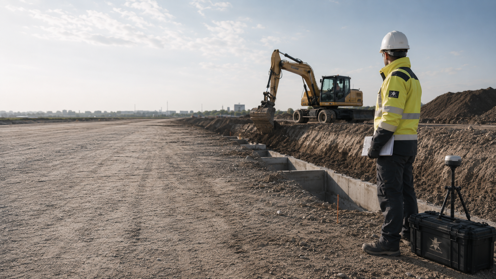
Working layers, equipment movement, visibility conditions and stop points are documented so that the monitored areas remain clearly traceable later.
Coordinate work during constructionPoint identifier, position, depth, assessment and handover connect the individual find with the work status of the corresponding clearance section.
Clarify findings investigation and handoverThe project file shows which area and depth were worked on, which findings occurred and which limitations must still be considered.
Organise clearance and completion documents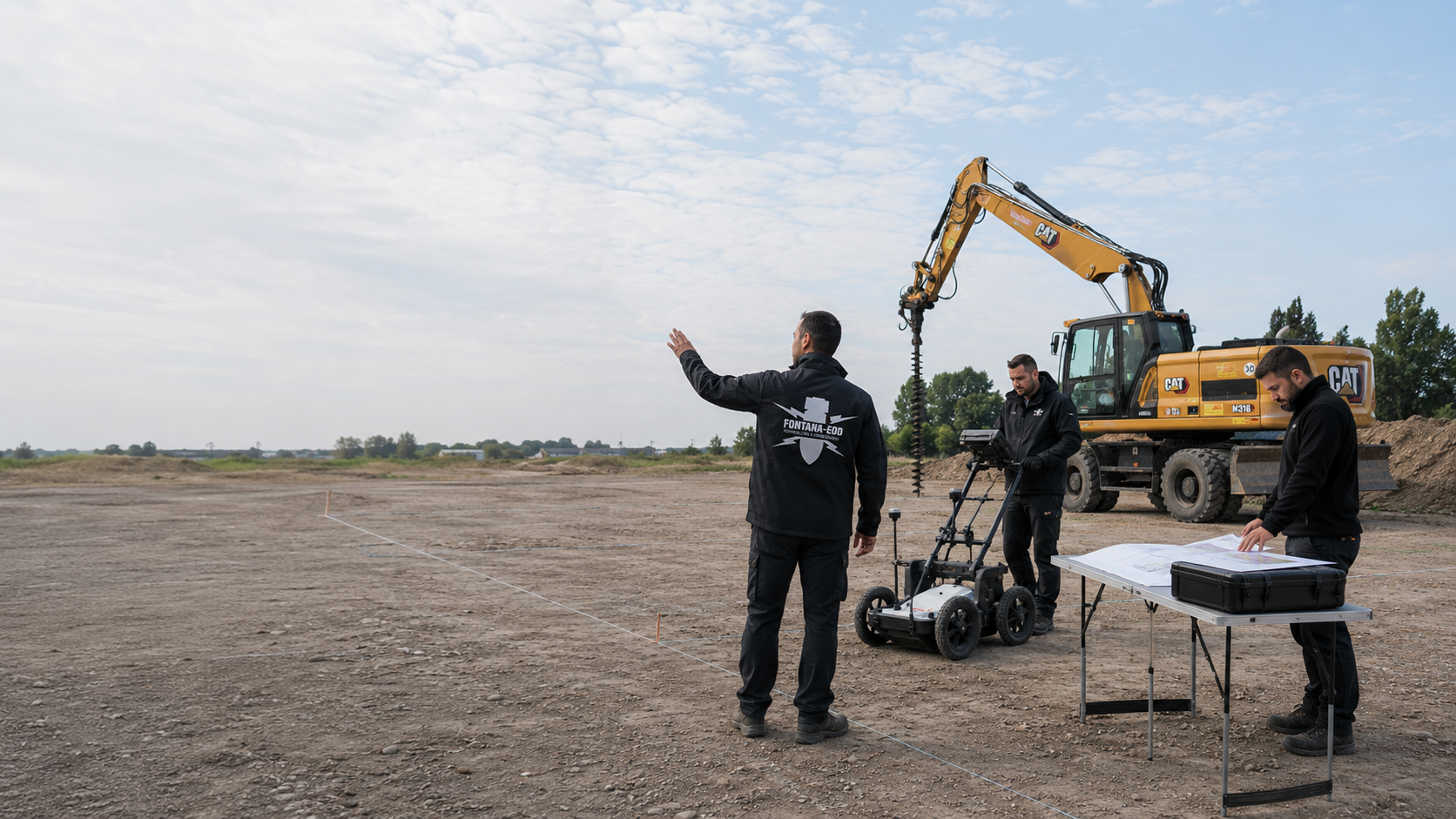
A site plan, intervention depth, grounds for suspicion and construction phase allow an initial professional assessment of the suitable clearance method.
Enquire about the clearance task with documents
Depending on work status, clearance is supplemented by historical assessment, technical surveying, deep surveying, excavation monitoring, recovery or project-specific records.

Understand area clearance in relation to surveying, recovery and documentation.
Understand the servicesDetermine the clearance area and expected range of objects from historical information.
Assess the suspected hazardCompare magnetometry, TDEM and ground-penetrating radar according to measurement objective and interference.
Select surveying
Assess borehole points, piles and retaining-wall alignments separately in their depth context.
Survey at depthAddress remaining suspicion within the actual earthworks.
Supervise excavationAssess identified objects, responsibilities and handover.
Clarify recoveryPrepare the clearance objective, quality control, acceptance and project file.
Plan the recordsAssess clearance requirements for civil engineering, rail, energy, municipal or industrial projects.
Choose an application
Integrate the project location and competent participants into the clearance process.
Select a regionSubmit the site plan, clearance objective, grounds for suspicion and construction phase for assessment.
Have your project assessedThe enquiry describes planned use, earthworks and available investigation documents. Unresolved options or limits remain identified. FONTANA-EOD can relate the specialist task to them and identify the information required for the next coordination step.
The working area, conditions and required documentation are recorded traceably for execution. Project participants clarify access and as-built information. Changes are communicated in good time so that specialist work and its later conclusions cover the same scope.
The report and spatial appendices show the actual work status. Construction management compares it with forthcoming work. Unresolved areas and relevant conditions are retained. An abbreviated completion notification does not replace spatial assignment.
An additional trench or deeper foundation is compared with the existing record. The specific new intervention is decisive. Earlier specialist work is not transferred to a different construction task solely because it is at the same location.
State the location, property and affected section. Add project contacts for planning and construction management. The regional overview helps with orientation; the professional enquiry also needs specific areas, depths and available findings.
Existing information and specialist reports are provided with their spatial reference. Requirements concerning other areas or earlier measures remain distinguishable. The respective responsible participants clarify unresolved points before using them as a basis for the current task.
The report and plan appendices show together which areas and depths were actually worked on. Inaccessible subareas, utility zones, measurement limits and changed construction conditions are stated with their respective limitations and specific subsequent measures. Clients, planners, construction management and contractors can compare work status and conditions for the next step against this information. A general area description is insufficient.
Explore results and terminologyDocumentation is used in relation to the agreed task. If planning changes, an assessment establishes whether the new work falls within this scope. The existing conclusion is retained; any additional requirement is specifically assigned.
Understand the service scopeThe ordnance specialist company documents its agreed contribution. The project organisation obtains construction, operational and authority decisions from the respective responsible participants and combines them with this specialist contribution for execution. The different tasks remain recognisable.
Explore results and terminologyTechnical information
The brochure explains preparation and execution of area clearance. It describes how investigation, assessment of anomalous measurement points and documentation work together.
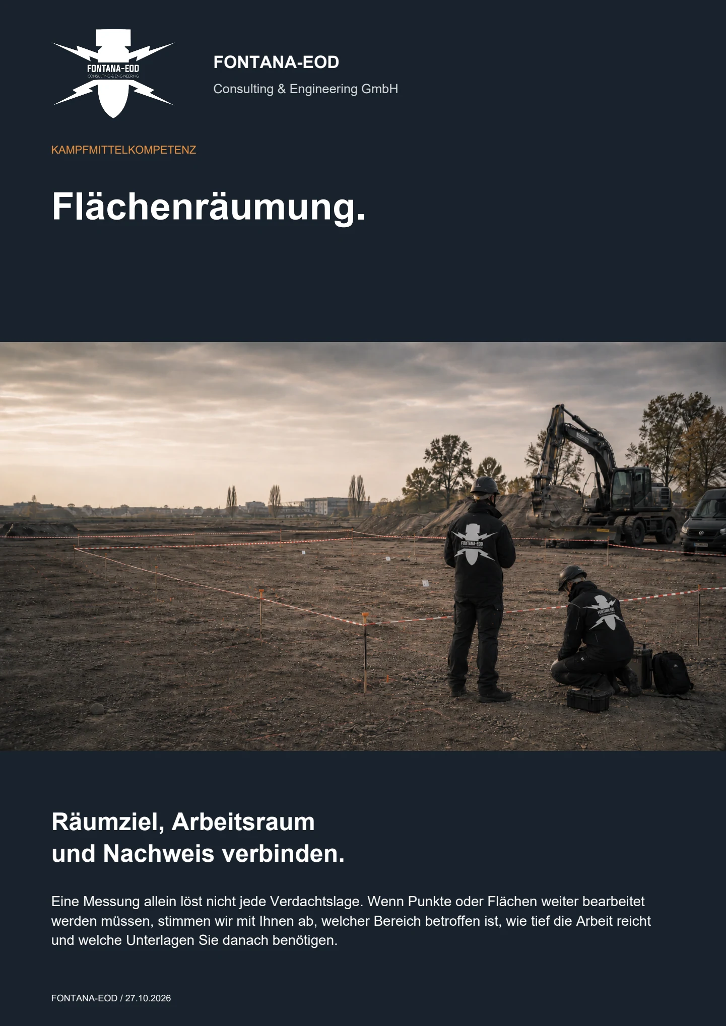
Area clearance may be considered when a defined suspected or project area requires systematic work involving ground disturbance. Reasons may include a reliable anomaly list, historically based suspicion across an area, strong interference, a defined clearance objective or a situation that can only be addressed during excavation. Methods and scope depend on area, depth, soil, range of objects and future use.
Clarify the task before tendering and ground disturbance wherever possible. Records review, method planning, execution, assessment and handover are tailored to the upcoming construction phase.
Surface surveying records and evaluates measurable anomalies using a suitable geophysical method. Area clearance comprises planned ground disturbance to investigate relevant suspected points or a defined soil volume. A survey can prepare clearance but does not replace exposure and assessment of the indications requiring investigation.
Depending on the project, methods may include exposure at target points, clearance across an entire area with ground disturbance at individual points, layer-by-layer volume clearance with inspection or separation, and ordnance clearance during construction. Methods can be combined. Detectability, interference, soil, clearance depth, accessibility and the work status needed for construction are decisive.
A clearance plan describes the grounds for suspicion, clearance objective, area and depth reference, expected target objects, methods, division into sections, equipment, occupational safety, quality control, handling of finds, coordination between participants, documentation and acceptance criteria. It must also specify how utility zones, inaccessible areas, plan changes and unexpected field conditions are addressed.
Area clearance means systematically working on a defined area or soil volume towards a specified clearance objective. Ordnance recovery concerns the proper further handling of identified ordnance or an ordnance-related object. The two steps may follow one another but have different tasks, protective requirements and responsibilities.
If a suspicious object is found, stop work. Do not touch or move it. Leave the immediate area, warn others without putting yourself at risk and, in Germany, notify the police on 110; outside Germany, use the local emergency reporting arrangements. The competent authorities determine further action according to the actual find.
Completion documentation describes the grounds for suspicion, area and depth actually worked on, method used, working and measurement conditions, anomaly status, findings, quality controls, unworked areas and the resulting project decision. Its conclusions apply to the documented scope of work and are reassessed against the proposed intervention if plans subsequently change.
Factors include area size, clearance depth, number of anomalies, interference, soil and groundwater, utilities, accessibility, selected method, equipment and material logistics, necessary protective measures, findings, quality control, documentation scope and construction schedule. Reliable costing therefore requires a clear clearance objective and current project documents.
An initial assessment is possible once the project area, ground disturbance, grounds for suspicion and required work status are identifiable. Incomplete documents are identified as unresolved planning information.
Provide a site plan, land parcel, construction-area or route boundaries, elevation reference, maximum intervention depth, construction sections and intended execution sequence.
For subareas, access, utility zones, existing structures and areas that cannot be worked on should already be visible in the plan.
Helpful documents include aerial photograph analysis, authority correspondence, survey report, raw or evaluated data, anomaly list, known finds and earlier clearance documents.
Different coordinate systems or unclear point identifiers should be clarified before incorporation into clearance planning.
Include ground investigation and contaminated-land documents, utility plans, and information on groundwater, access, equipment, temporary storage and parallel trades.
This information influences methods, division into sections, protective arrangements and separation of material flows that have been worked on.
The status required after completion is particularly important: work on an anomaly list, clearance of an excavation, layer-by-layer volume work, excavation monitoring or completion of a clearance section already started. FONTANA-EOD uses this to assess which information is still missing for the clearance objective, methods and chain of records.
Boundaries, subareas, chainage, elevations and inaccessible zones.
Future use, depth, target objects and required subsequent decision.
Soil, interfering objects, utilities, groundwater, equipment access and material logistics.
Clearance plan, anomaly list, field records, quality control and completion report.
Whether historical aerial photograph analysis, explosive ordnance surveying, surface surveying using GPR, magnetometry or TDEM, deep-ground surveys, downhole surveys, excavation supervision, area clearance or ordnance recovery is needed depends on the location, ground disturbance, depth, ground and existing documents. An early ordnance assessment provides clarity for tendering, programming, occupational safety and construction.
FONTANA-EOD combines its Section 7 SprengG licence, specialists holding Section 20 SprengG certificates of competence, suitable survey and clearance methods, and traceable documentation. Send the site plan, depth of ground disturbance, construction phase and existing documents for an initial technical assessment.


