Project pathway
The quickest route to the right decision.
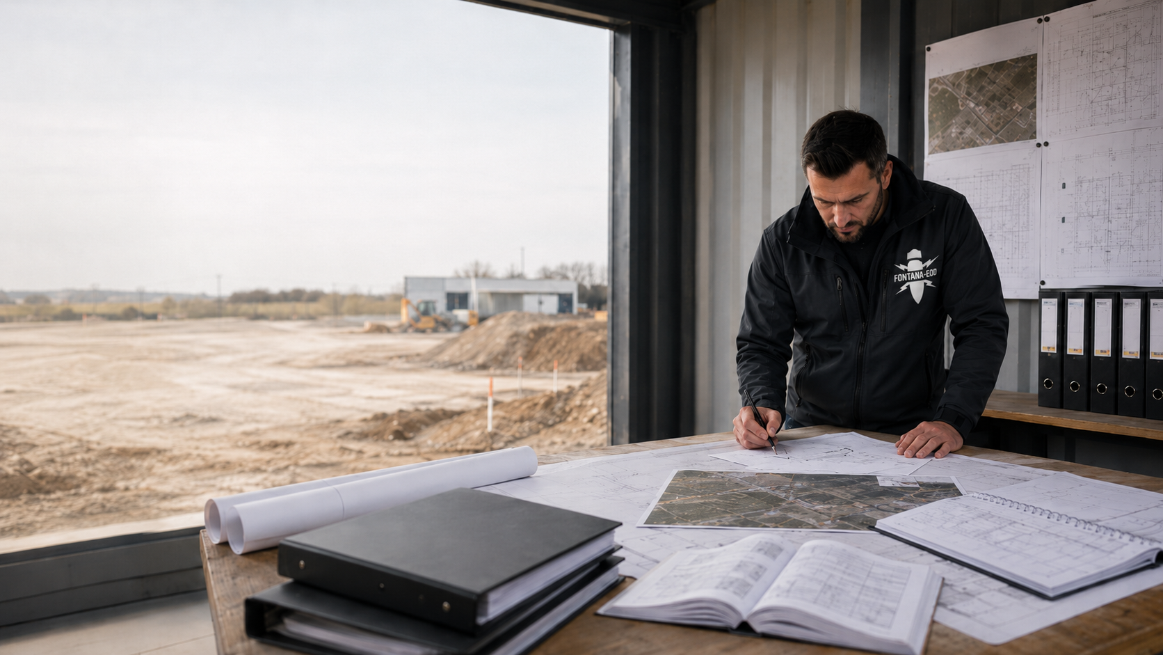
For clients, planners and site management, explosive ordnance disposal begins by asking what evidence exists for the upcoming groundworks. Historical investigation, technical investigations and their assessment determine further action; any clearance needed is planned with a defined objective, method and sequence. Send FONTANA-EOD the site plan, proposed intervention depths and existing reports to coordinate the next specialist step.
Record indications and measurement findings.
Understand the significance for use.
Justify the method and result scope.
The BFR KMR describe explosive ordnance disposal as a combination of historical investigation, technical investigation, assessment and, where appropriate, planned clearance. Within this, surveying is an investigation task. A measurement signal is not yet ordnance identification; completed measurement is not yet an unrestricted record for every later use.
Assessment of each stage determines the next task. The BFR KMR phase structure distinguishes historical investigation and assessment, technical investigation and hazard assessment, and planning and execution of necessary clearance. It was developed for properties under federal responsibility. For your construction project, what matters is which tasks have already been reliably completed and what evidence is still missing. An existing report may provide a basis even if prepared under a different project name.
Historical sources and existing investigations help assess a possible suspicion. The work status must show which areas were covered and which indications or data gaps exist. Comparison includes the investigation date and terrain and plan status at the time. An aerial photograph from a particular flight and a later clearance report may concern different periods and areas. Specialist work combines this information and explains which question it answers. A period not covered remains identifiable as missing information.
Technical investigations address the specialist question under site conditions. Assessment connects results with the proposed use. Clients must be able to distinguish investigated areas, usable measurement data and remaining gaps. A zone that cannot be interpreted because of interference needs its own specialist decision. It is retained on the site plan and considered when planning the relevant construction section. Work may therefore have progressed to different stages in neighbouring areas.
If further action is needed, objective, scope and approach are defined. The clearance plan describes the specific planning. Whether clearance or another suitable measure is needed follows from the individual assessment. Under BFR KMR, protective and restrictive measures are also considered as possible solutions. The client needs a traceable recommendation bringing together use, site conditions and the result achievable. This provides a basis for relating execution planning, necessary coordination and tendering for clearance to one another.
Target objects, investigation volume needed, ground conditions and interference sources determine method selection. Alongside area and depth, therefore state whether excavation across an area, individual foundations or a narrow utility trench is planned. The same equipment approach may provide a different assessment under changed local conditions. Specialist planning describes the information needed and how the chosen method contributes. Existing buildings, paved areas and access available only temporarily are considered.
Magnetic methods record changes in the magnetic field caused by magnetically responsive objects. Other metal objects and local surroundings may affect signals. A magnetic anomaly alone does not establish reliable object identification. Known utilities, metallic installations and other possible interference sources therefore matter for coordination. The BFR KMR geophysics appendix describes method principles and the importance of a site-specific investigation strategy. Specialist planning assesses suitability for the specific task; clients provide known infrastructure and investigation boundaries needed for this.
Active electromagnetic methods and ground-penetrating radar use different physical properties. Suitability depends on factors including ground conditions, object and interference. A general maximum depth without these conditions would not be a reliable performance specification.
Surface measurements and investigations from boreholes provide different access to the investigation volume. Any deep investigation needed is planned by specialists before ground intervention. A foundation point needs location, elevation reference and proposed depth; several points also need unambiguous identification on the plan. Investigation preparation considers existing ground conditions and accessibility. Planning, investigation and later drilling or piling receive clearly assigned responsible persons and handovers.
The DGUV distinguishes visual observation of excavator spoil alone from an explosive ordnance survey during construction. The term ‘supervision’ therefore does not yet specify the investigation method actually proposed. Clarify method, investigation volume, work steps and documentation before commissioning.
For a solution during construction, such as excavation supervision, investigation and construction sequences must fit together technically. Before work begins, proposed construction sections, accessible working areas and handovers between specialist company and contractor are agreed. Measurement limits or new findings may require changed work. Site management needs named contacts and clear communication of each area treated.
Usable documentation connects the commission with the area actually investigated, method applied and result. Horizontal and elevation references, limitations and unresolved issues must be traceable. Site management must be able to locate a depicted area in the current execution plan. Project name, plan version, coordinates and elevation references support assignment. Finding numbers in the report must match associated plans and appendices. Report and appendices are therefore considered together at handover; a final page forwarded alone often contains only some of the information needed.
An assessment of a treated section relates to the defined objective and documented limits. For other areas, greater depths or changed uses, applicability is checked before reuse. Compare the survey report and clearance record with the proposed intervention and check whether the documented clearance scope covers the affected areas.
In a project meeting, investigation, surveying and clearance are sometimes treated as equivalent. This shorthand is unsuitable for commissioning. Identify the information already available and the specialist assessment needed next.
A suspicion rests on indications requiring specialist assessment. A suspected area describes their spatial reference; it need not match the property or construction site. Planning therefore checks which part of the proposed intervention is covered by the previous assessment.
Assess suspicion before a construction projectSurveying records measurement information for a specific question. Interpretation and assessment place it in context. An equipment name alone does not explain a measurement result; investigation objective, spatial reference, conditions and limits stated in the report do.
Distinguish survey tasksAny clearance required is a specialist service needing its own planning. For area clearance, objective and execution relate to the defined investigation or clearance volume. Recovery means proper retrieval of ordnance as part of disposal. These tasks are performed by duly authorised specialists. The investigation commission, construction service and tasks of the responsible public disposal service are distinguished for the specific project. Safe behaviour after a possible find remains decisive for construction companies.
Define clearance services technicallyEOD stands for Explosive Ordnance Disposal. UXO means Unexploded Ordnance and describes ordnance that has not functioned. When reading a document, distinguish whether this designates an activity, actual finding or merely the subject of an investigation.
Read technical terms in contextThe scope of a clearance statement is read with the described area, depth, method and limitations. Documentation enables this relationship to be understood. The designation alone does not establish whether a later changed intervention is covered by an earlier result.
Understand the scope of a clearance statementKBD and related authority designations refer to regionally responsible public explosive ordnance disposal services. A private specialist company performs the agreed technical commission within its authorisations. Official decisions or coordination needed depend on the project location and task; both roles remain clearly separate.
Distinguish official and private tasksBFR KMR describe technical guidance for investigation and clearance on federal properties. The German Social Accident Insurance, DGUV, provides relevant information and rules for safety and health protection. These documents are used according to their respective purpose and scope.
Understand the regulatory framework for the activityThe designation must be explained by the actual service scope. Visual observation of excavation alone is not an explosive ordnance survey during construction. Coordination therefore needs the investigation method, volume covered, work sequence and documentation; the word supervision does not replace this information.
Define tasks during constructionCommissioning connects the reason, investigation volume needed and upcoming decision. Missing evidence, restricted measurement conditions and changed construction design give rise to different specialist tasks. The project file should show which question is already resolved and what the next work builds on.
Early planning has individual pieces of official information whose spatial scope is unclear. The next step is comparison of sources, construction site and proposed use. The result should show which information can be reused and what is still missing before technical investigation. Obtain the map extract and any appendices associated with official information as well. A different plot designation or older street name may complicate assignment. Clarification uses the documents and their spatial references before an investigation scope is defined for the current design.
Existing utilities, interfering objects or ground composition may limit interpretation of an investigation. Method suitability is therefore checked for the volume actually needed. The record must distinguish investigated areas from those not reliably assessed. Provide known installations and available utility plans early. If additional obstacles are identified during execution, their location and resulting limitation belong in the result documents. Planning can then decide specifically which unresolved zones need an additional investigation or an adjusted construction task to be agreed.
An earlier investigation exists but the new design extends deeper or into an additional area. First compare the report's commission and assessment scope with the change. This establishes whether the existing result is sufficient or additional specialist work is necessary. Mark the change on the plan, such as an additional chamber, relocated foundation point or extended working volume. A different elevation reference may also matter for comparison. The changed construction activity is compared with the documented investigation status before execution.
Clients need more than the name of a method. The justification must show which question it is intended to answer and where its assessment ends. This information belongs together before commissioning.
Describe whether an area, individual point or defined depth interval is the subject of investigation. The proposed construction activity provides the reference. The volume needed also includes working spaces, shoring, connections and temporary interventions insofar as they affect the ground. A chamber may therefore need a different spatial boundary from the adjoining utility. Specify depth with an unambiguous elevation reference and identify unresolved design alternatives. A result for part of an area relates to its documented volume.
Access, terrain, ground composition and installations affect investigation planning. Existing utility plans and known terrain changes support coordination. Information about filling, excavation, former construction pits and remaining foundations is particularly helpful. An old elevation reference is compared with the present surface. Necessary preliminary work receives its own scope and is agreed with the parties. Prerequisites for specialist work and the investigation service itself can thus be described separately and traced later.
A measurement finding gains significance through specialist interpretation. The report must keep clear which information was recorded, how it was assessed and what further task was derived. For several work dates, results are assigned to their respective areas and measurement conditions. A later report should identify which earlier data it uses. It is then possible to trace whether a finding has been clarified, an area investigated additionally or a question remains unresolved. The conclusion is connected with the proposed use and agreed evidence objective.
Investigated areas may support different levels of assessment. Limits and unresolved questions therefore remain part of result handover. For further planning, spatial gaps, restricted measurement conditions and missing documents are identified separately. A follow-up task can thus be described precisely. An additional investigation commission may, for example, concern only the connection area not previously treated. Existing results retain their own limits and are brought together with new work into a traceable overall status.
The unresolved project question determines the next service. Missing historical evidence, a specific foundation point and earthworks under difficult measurement conditions each require appropriate specialist preparation. Several services may complement one another. Which are needed follows from the existing work status and proposed construction activity.

If relevant sources have not yet been assessed or assigned to the construction site, first clarify the evidence available. Historical aerial photograph assessment may contribute. Its result is evaluated with other available information and does not automatically describe the technical investigation scope for every later construction activity.

A proposed drilling or foundation point needs unambiguous location and depth references. Specialists clarify before intervention which investigation can cover this volume. A borehole clearance statement or deep-ground survey must relate to the point and investigation scope actually described.

For open earthworks, accessible volume, construction status and measurement conditions must be considered together. A solution during construction requires a suitable technical procedure. It must not be inferred solely from difficulty investigating before work begins or limited time in the construction schedule.
A larger construction site, utility route and work among existing infrastructure place different demands on area division, access and result handover. Planning assigns the investigation status needed to each proposed ground intervention.

For work across an area, investigation status, access and proposed interventions may vary between parts of the site. Planning and tendering must record the assessment needed for each area and how unresolved zones enter further work. Traceable section division connects specialist work with the construction sequence. It also considers areas accessible only after demolition. Handover documents distinguish completed work from areas where investigation is still proposed. Site management can relate further coordination to this spatial division.
Distinguish area-specific construction tasksA route often consists of sections and individual deeper interventions. For method selection, these volumes are described separately and brought together in shared planning. Existing evidence must show which alignment, chambers or connection areas it actually concerns. For a changed route, lateral displacement is also compared with the previous investigation scope. Different depths and construction sections available only temporarily belong in the working basis. A shared route name serves organisation; specialist results are assigned along the areas actually treated.
Understand route sections and individual pointsExisting facilities, foundations and utilities may affect measurement and access. A schedule considers when areas become accessible and which investigation status is needed before each intervention. Previous use of an area alone does not replace assessment for the new task.
Prepare investigations among existing structuresExisting evidence and local requirements determine which specialist work is needed in each case. For a planned process, identify documents needed, those responsible for providing them and the next decision. Site management and the commissioned specialist company agree which results must be available before each ground intervention.
Initial contact identifies construction activity, project phase and the assessment needed. The client explains the upcoming decision: for example tendering an investigation, starting a construction section or reusing a report. Alongside the desired date, state technical and organisational dependencies. The requested date can then be considered with document procurement, access and necessary coordination. FONTANA-EOD clarifies with you what information is still needed for the specialist service offered.
Existing official information, reports and historical work are checked for completeness and spatial reference. Additional research or aerial photograph assessment is considered according to information needs. Statements in individual documents are also compared. Contradictory boundaries, different depth references or unexplained follow-up measures are clarified before further planning. An appendix listed in the report should be supplied with it. Missing information receives an identified work requirement so that procurement and the subsequent specialist service can be coordinated.
If existing evidence is insufficient for the task, necessary historical assessments are defined and commissioned. Aerial photographs, other sources and existing reports receive a common spatial reference. Specialist assessment describes identified indications and remaining gaps. Its results inform technical investigation planning or the next decision.
Objective, spatial scope and conditions are compared with suitable methods. Proposed work steps and interfaces with construction are described understandably before commissioning. This includes known obstacles, necessary preparatory work and the expected form of result. If hazard assessment identifies a need for clearance, its conceptual and execution planning must be considered. The BFR KMR distinguish the clearance plan from execution planning. The specific commission defines which parties provide which planning and execution services.
Execution follows specialist planning and applicable requirements. Changes, limitations and unresolved areas are recorded traceably. Deviations from the proposed scope must remain identifiable for later result assessment. If access conditions change or additional ground interventions arise, effects are agreed with the responsible project parties. The result documents must show which areas were actually treated and under which conditions. This information is recorded during specialist work with an unambiguous plan reference.
Data and findings are assessed in relation to the task. Assessment identifies the scope achieved and any further clarification needed. For subsequent planning, it is recorded which question is answered and which decision still needs preparation. Any addition required receives a spatial and technical reference. The client can then coordinate the next commission and inform site management of the current status of the affected section.
Report and plans connect result, investigation volume and limitations. Handover includes agreed appendices and traceable references between text, measurement data and maps. Documents are retained together in the project file for later use. A plan sent separately receives the associated report and version references. The next design relates to this documented status. If the intervention changes, specialists check which previous assessment still fits and what additions are needed.
Client, planners and site management compare the documented status with the next ground interventions. Unresolved areas and necessary additions are clarified with the responsible parties. Further commissioning identifies the specific follow-up task. For construction design changes, affected areas and depths are compared with existing results again.
A specific enquiry identifies the existing stage of work. This makes clear whether information is missing first, an investigation needs planning or a result needs explanation.
Present the available indications and project location. Describe the proposed use or construction activity. This clarifies which existing sources should first be assessed by specialists.
Improve the historical evidenceIdentify the investigation volume needed, proposed intervention and known conditions. Selection follows from this information and the evidence available; a general depth value alone is insufficient.
Understand investigation methods by taskPlanning needs an assessed starting situation and traceable objective. The clearance plan connects the necessary measure with site conditions, execution and documentation. Known information gaps are also identified for preparation. Necessary preliminary work may help close these gaps before further clearance planning. Client and planners then need an understandably justified solution including its prerequisites. More detailed execution planning and description of services to be procured build on this.
Understand planning and the evidence chainProvide the report and appendices together with the current design. Identify the decision for which the result is needed. Changes and known limits remain part of this enquiry.
Discuss an existing result with specialistsUseful documentation remains understandable even to persons not involved in execution. It shows the path from the task to the scope actually performed.
Historical documents, official information and site plans are maintained with their origin and work status. Construction site, route, plot or investigation points are assigned unambiguously. The commission describes the result expected and limits already known during planning. Add contacts for the responsible specialist parties and the relevant plan version. If further documents are submitted later, it remains clear which version has been replaced or completed by which addition.
Measurement data and survey results are assigned to their spatial reference. Assessment of findings explains what follows for the task. Changes or limitations in execution form part of this so that a later summary accurately represents the stage actually reached. Measurement areas, finding identifiers and plan appendices must be readable together. For work in sections, unambiguous area and version references support handover between specialist company, planners and site management. Agreed digital data formats are recorded when preparing the commission.
The survey report or clearance record states the scope performed and remaining questions. The conclusion for the project file must match. The BFR KMR also assign documentation the role of enabling later traceability and quality control of the work. For a changed intervention, assessment scope is checked again. For queries, identify the affected plan area and specific statement in the report. Complete appendices allow clarification of whether further work is needed or existing information answers the question.
Do you want to use a report for a proposed intervention or understand its limitations? Compare the existing records with the current construction design. Specify area, depth and the outstanding decision. Further specialist work can then be coordinated precisely.
Discuss records and the proposed interventionSpecialist planning, prerequisites under explosives legislation and occupational safety relate to the specific activity proposed. The commission describes the specialist service assigned; responsible authorities make the respective official decisions. Project parties clarify their tasks and handovers before execution.
The BFR KMR apply to the federal properties specified there. Outside this scope, they may also be used as specialist guidance. Local rules and the agreed task are considered for the individual project. An existing clearance plan, investigation and official information serve different purposes and enter planning with their respective scope.
For activities in Germany, the Explosives Act governs the permits, competency and responsibilities needed, among other matters. The 1. SprengV specifies specialist knowledge and recognised courses, for example. Prerequisites needed depend on the task actually proposed. The agreed service scope and personnel prerequisites needed for it are considered together before execution. Responsibilities at the project location are clarified with the parties involved. For projects outside Germany, the requirements applicable there are decisive.
In Germany, employers assess actual working conditions and proposed activities through risk assessment under Section 5 of the Occupational Safety and Health Act. The DGUV Information 201-027 supports definition of protective measures during explosive ordnance clearance. Activities, equipment, local conditions and cooperation between parties are related to one another. Coordination between companies matters for site management, particularly during simultaneous operations or successive work sections. Ground investigation status and occupational safety preparation are each documented for their own task.
DGUV Rule 113-003 addresses dismantling or destroying explosives and corresponding objects and includes disposal of found ordnance. Its scope is checked in relation to the task. Official find and hazard response procedures and interfaces with public disposal services remain to be clarified under local rules.
Investigation objective, spatial limits, method suitability and responsibilities are recorded for commissioning and later result handover. The project file connects these agreements with work actually performed. Outstanding questions can thus be assigned to a specific work step and documents needed for it.
It is clear which question the investigation should answer. The objective fits the upcoming construction activity and is not replaced by a general assurance of safety.
Areas, points and depths are described traceably. The result presentation shows which parts were actually treated and which areas lie outside the scope.
Method selection considers investigation objective and site conditions. Known limits are identified early so that they can be considered in the sequence and result assessment.
Deviations from the design remain traceable. Site management can identify whether a change concerns only the sequence or also the technical assessment scope.
Planners, client, contractor and responsible authorities know their respective tasks. Changes and outstanding decisions are not passed on solely through informal assumptions.
Report and plans explain the actual status. The next project decision can relate to it without losing limits or unresolved areas from handover.
The specialist task is performed at the specific project location. Site information helps assign existing documents and responsible authorities correctly. In Germany, official procedures and responsibilities differ by federal state and local task. For a project in Luxembourg, the authorities and requirements applicable there are used. For longer routes or several construction locations, affected areas and contacts are stated separately. A commission for several sites thus receives a traceable local assignment.

State the municipality, address or an equally clear location. For longer routes, assignment of individual sections helps. Documents and official information can thus be assigned to the same project before an investigation scope is derived.
Understand the region and project locationDocuments, work status and contacts may change across several construction sections. Record what each piece of official information or decision relates to. A shared project name does not replace distinction between spatial and technical responsibilities.
Keep regional interfaces traceableHistorical documents, technical investigations and result documents provide different information for planning. They are combined with their respective spatial reference and work status. For a new construction activity, clarify which information already exists and what specialist additions are needed.
Aerial photographs and other documents need specialist interpretation and spatial assignment. This basis helps describe the evidence available. It is distinguished from a later technical investigation and its own result.
Understand historical work
The technical task connects investigation objective, volume and measurement conditions. Methods and the assessment achievable are selected for the specific project. Known installations, ground conditions and access inform specialist planning. The commissioned scope and limitations identified during execution are documented traceably.
Compare methods against the investigation objective
Plans and reports enable a shared understanding of the stage reached. They must connect results and outstanding questions traceably. Later use follows the scope described and limitations that remain applicable.
Read result documents in context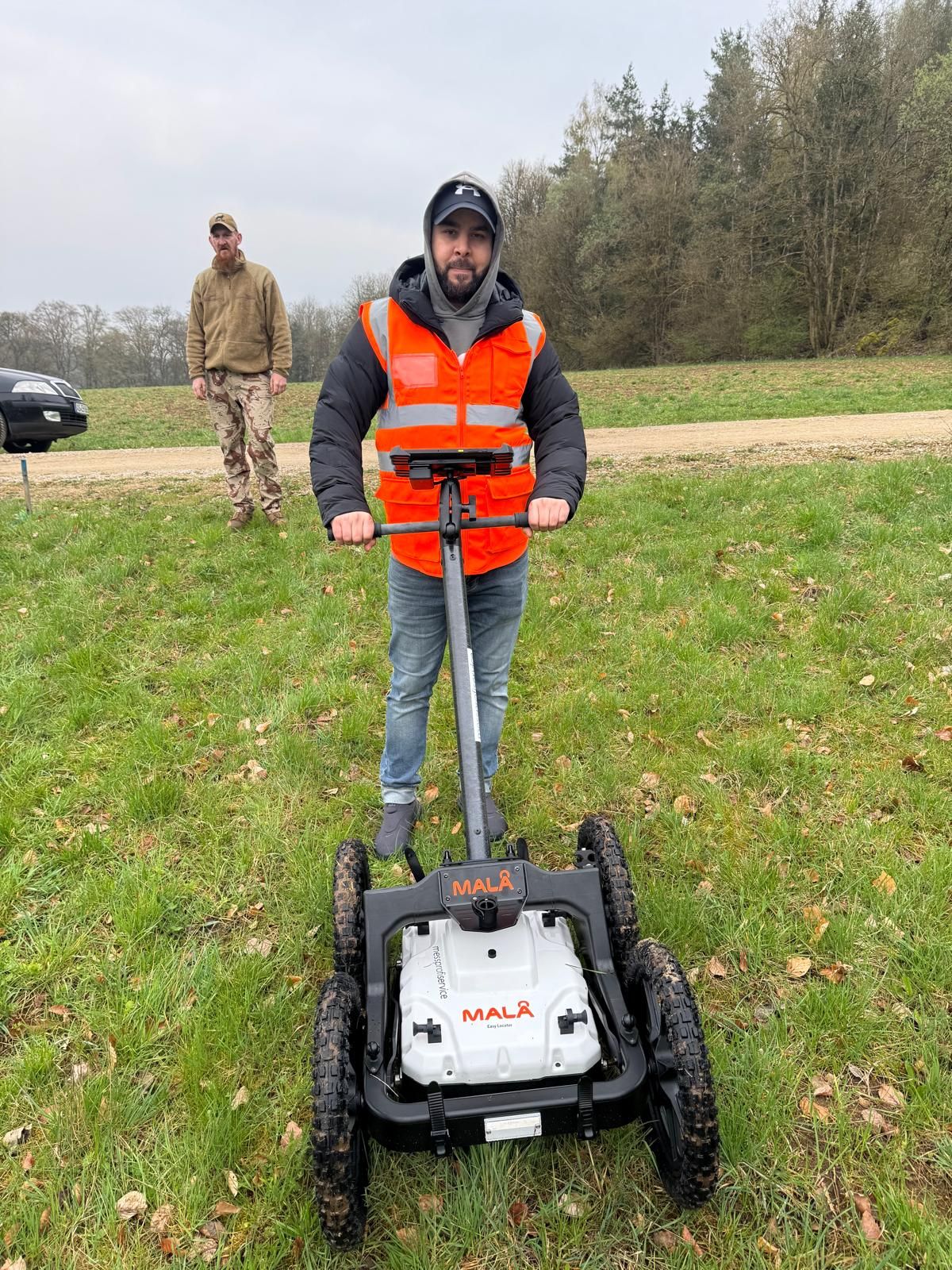

Missing historical information, investigation planning and a query about a report lead to different follow-up tasks. Specialist coordination depends on the current status and decision needed next.
Investigation and clearance services are distinguished according to the unresolved specialist task. Identify the investigation volume needed and question to be answered before the next ground intervention.
Understand investigation and clearance servicesAlign preparation, documentation and handover with the proposed intervention. Identify documents and responsibilities needed; use results within their documented report and clearance scope.
Explore the process and record scope
State which investigation exists or is planned and what result you need. A site plan and known limitations allow more precise coordination of further work.
Discuss the method question with documentsSurveying is an investigation task within the wider specialist context. BFR KMR define explosive ordnance disposal more broadly, including investigation, assessment and, where necessary, planned clearance measures. The specific commission must identify the services actually agreed.
No. A signal must be interpreted by specialists and assessed in relation to ground conditions, sources of interference and investigation objective. The display of an anomaly alone does not determine which further clarification is necessary.
No. Alongside depth, factors include target objects, ground conditions, interfering objects and accessibility. Method selection or a range value without these constraints cannot reliably describe the assessment achievable.
According to DGUV, visual observation of excavator spoil alone is not an explosive ordnance survey during construction. An appropriate technical procedure and its limits must be defined in advance; the term supervision alone is insufficient.
The responsible authorities and public explosive ordnance disposal services decide how a find is handled under local rules. For a possible find, stop work at the find location. Do not touch or move the object, keep your distance and warn others without putting yourself at risk. Notify the police immediately: 110 in Germany, 113 in Luxembourg. The police coordinate further action with the responsible specialists.
As soon as the construction activity and investigation needs become identifiable, existing information should be compared with the design. Missing information and necessary coordination can thus be considered before tendering or execution. There is no identical schedule for every project.
Submit the full report with maps and appendices together with the current intervention plan. Identify changes to area, depth or use. State which assessment you need for the next step.
Key factors are investigation objective, area and depth, available information, ground conditions, interference, access and documentation needed. Necessary coordination and changes to the construction sequence may also affect scope. A sound calculation therefore needs a defined task.
For a method question, existing documents and the assessment desired are considered together. Identify unknown information explicitly as unresolved. A visible gap is more useful than your own unsupported assessment.
State the address or region and include a site plan. Assign plot, construction site, route or borehole points unambiguously. Intervention depths and elevation references help compare the volume needed with existing investigations. Identify additional working volumes and temporary interventions. For several sections, the plan should show which area is needed first. Identify unresolved alternatives so that specialist coordination considers the actual planning status.
Provide earlier documents, official information or authority conditions, utility plans, aerial photograph assessments and previous reports with appendices. Identify known measurement limits and inaccessible areas so that the actual evidence remains clear. Existing clearance records and associated plans also matter for comparison. State which appendices are missing or held by other project parties. Document procurement can thus be connected with the specialist scope and proposed dates.
Describe whether a tender, construction start or section handover is being prepared. State planned construction dates and the specific question. Also communicate changes since an earlier investigation. For the project process at FONTANA-EOD, handovers needed to planners, site management or subcontractors also matter. The roles of the authority and specialist company are considered for each unresolved task. On this basis, a targeted investigation or review of existing records can be agreed.
Whether historical aerial photograph analysis, explosive ordnance surveying, surface surveying using GPR, magnetometry or TDEM, deep-ground surveys, downhole surveys, excavation supervision, area clearance or ordnance recovery is needed depends on the location, ground disturbance, depth, ground and existing documents. An early ordnance assessment provides clarity for tendering, programming, occupational safety and construction.
FONTANA-EOD combines its Section 7 SprengG licence, specialists holding Section 20 SprengG certificates of competence, suitable survey and clearance methods, and traceable documentation. Send the site plan, depth of ground disturbance, construction phase and existing documents for an initial technical assessment.


