Project pathway
The quickest route to the right decision.
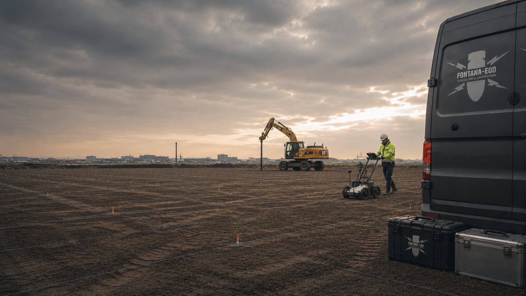
Before drilling, foundation works, utility trenches or excavation, we clarify whether suspected explosive ordnance affects the works and what investigation is needed. We review your documents and planned activities. You learn which explosive ordnance survey or specialist supervision may be appropriate, which areas need investigation and which records you need for the next construction step.
Check suspected ordnance and documents.
Agree the survey and investigation depth.
Supervise excavation and assess findings.
Before planning, drilling or excavation, it must be established whether suspected explosive ordnance affects the intended ground disturbance. Location, depth and construction method determine which investigation and documentation are needed.
The project location, site plan, depth of ground disturbance and available documents provide a basis for agreeing the next technical step.
Show on the site plan where and how deeply the works will enter the ground. Information on construction methods, ground conditions and possible sources of interference helps determine the investigation. Depending on the suspected ordnance and construction phase, historical records are assessed, surveys carried out or earthworks supervised. The scope and results are documented for the investigated area.
Before a land purchase, development or change of use, we examine historical evidence, previous uses, information from authorities and existing reports. What matters is whether these relate to the planned construction site. A site plan with a clear boundary shows which area has been assessed and which parts of the project have not yet been covered.
At minimum, the cadastral parcel, site plan, former buildings, known contaminated-land or military uses and a description of the intended use are needed. These establish which historical sources need assessment and whether a technical investigation must be prepared.
Assess historical evidence of suspected ordnanceThe specification must clearly describe the investigation area, depth of ground disturbance, survey or clearance objective, qualifications, documentation and interfaces. Otherwise, clients, designers, construction contractors and the specialist contractor will price the work on different assumptions.
Accessibility, existing utilities, surface condition, construction periods, rail possessions, the handling of anomalies and the information needed from the ordnance assessment or survey for the next project decision must also be considered.
Prepare tendering and documentationWhere explosive ordnance is suspected, ground investigation boreholes, piles, sheet piles, anchors and mast foundations must be investigated with regard to their location, depth and working width. A survey from the surface does not automatically cover these works. The borehole schedule and construction plans are used to determine a suitable method and any additional checks needed.
Planning requires a borehole schedule, coordinates, target depth, borehole diameter, drilling method, working space and information on utilities and existing structures. Only then can a deep-ground or downhole survey be designed on a sound technical basis.
Assess the downhole surveyRail, road, cable, pipeline and energy corridors are divided into appropriate investigation sections. Crossings, structures, existing utilities, changes in surface and operational restrictions affect both the ability to survey and the subsequent documentation.
A workable concept brings together the corridor centreline, working width, installation depth, construction method and programme. This makes sections that cannot be surveyed and any necessary alternative measures identifiable before work begins.
Clarify corridor requirementsWhere interference, existing buildings or made ground limit a complete advance survey, ordnance specialist supervision during construction may be necessary. Excavation layers, work areas, equipment, lines of instruction, briefings and procedures for a find must be integrated into site operations.
Supervision requires a defined clearance or investigation objective and unambiguous documentation of the areas worked. It does not replace the necessary preparation.
Agree excavation supervisionAn official notice, an anomalous survey signal and a possible ordnance find require different steps. For a planned investigation, documents and survey methods are agreed. If a possible item of ordnance is found, work in the affected area must stop, the area must be secured and the responsible authorities informed.
Precise terminology prevents areas with suspected ordnance, anomalies, interfering objects and finds from being treated as the same thing. This determines whether historical assessment, surveying, clearance, recovery, excavation supervision or coordination with authorities is required.
Respond correctly to a findAn explosive ordnance assessment clarifies whether and how suspected ordnance affects a construction project. An explosive ordnance survey is the technical search for and assessment of anomalous signals. Explosive ordnance disposal is an umbrella term: depending on the commission and responsibilities, it may include investigation, clearance or public-authority hazard response. We select the services needed for your project from the construction plans, ground conditions and suspected ordnance. Where several methods are used, their results must be consistent.
To select the investigation, we need the site plan, planned depths and information on the construction method, together with existing indications of ordnance and earlier investigations. These help establish which areas, borehole locations or corridors need checking before the next work step.
EOD stands for Explosive Ordnance Disposal and describes specialist work involving explosive ordnance. In a German construction project, this must translate into specific tasks: who investigates which area, who decides what happens after a find, and which works are documented?
Historical aerial photograph analysis examines aerial photographs, maps, archives, previous uses and other sources for reliable evidence relating to the specific project area. It helps delineate an area of possible ordnance contamination, but does not replace a technical investigation of the present-day ground.
Its value lies in preparing the next steps: which parts of the site are affected, which target objects may be relevant, which works intersect the suspected area, and which explosive ordnance survey or clearance service may be appropriate in principle?
An aerial photograph shows conditions at the time it was taken. The report must therefore state when the images were taken, which parts of the present construction site can be identified and which other sources were used. Gaps and unclear areas remain explicitly identified; they are not automatically regarded as uncontaminated.
The historical evidence is compared with your current site plan. This shows whether a corridor, borehole location or excavation intersects an area with suspected ordnance. If the plans change, the comparison is repeated. The sources, drawing revision and limits of the assessment remain recorded in the report.
For projects with several construction phases, check whether the existing assessment covers the entire property or only part of it. Identical project names do not establish this. The site plan must show the assessed area and its investigation status. For further sections, the information or investigations still needed must be established.
Different geophysical methods are available for area-wide and near-surface investigations. Ground-penetrating radar (GPR), magnetometry and TDEM respond to different physical properties of the ground and of possible interfering or target objects.
The choice of method depends on target objects, depth, soil, moisture, sealed surfaces, utilities, reinforcement, scrap metal and accessibility. A surface survey is useful only if it can provide meaningful information about the intended ground disturbance under the conditions present.
In a surface survey, measurements are recorded with a spatial reference and then interpreted. The report shows where surveying took place, which method was used and what anomalies or limitations were identified. It must establish what conclusions can be drawn for the planned earthworks.
Open ground, paved routes and existing installations may create different survey conditions within the same site. For each part, it is assessed whether the selected method can answer the outstanding question. If further methods are needed, their purpose must be explained. A large number of instruments alone does not establish a good result.
Ask for a clear explanation of survey results and limitations. Areas that were not investigated, or could only be assessed to a limited extent because of interference, must remain identifiable in the report. The next investigation can then focus on these areas. An overview that omits such boundaries is insufficient to support a conclusion about the entire property.
For boreholes, piles, sheet piles and other deep ground disturbance, the relevant working space is investigated in three dimensions and at defined points. Investigation geometry, borehole diameter, target depth and safety distances must correspond to the subsequent construction method.
Casings, utilities, adjacent boreholes, geological layers and other interfering objects affect the measurements. A properly documented downhole survey therefore describes the conditions and limitations of the survey as well as its results.
The borehole schedule and site plan must match. The report should use the same point identifiers, coordinates and depths. Where there are several foundation or investigation points, each result can then be assigned to the correct point. The documentation must also describe the area around the point that was actually investigated.
If a borehole location is moved or a greater depth is planned, the existing investigation must be compared with the plans again. Proximity alone is insufficient. Pass on the revised site plan together with the earlier results so that the specialist contractor can assess whether supplementary work is needed.
Ground investigation and foundation design may use the same site plan while still specifying different ground disturbances. State the task for which the existing investigation was carried out. It can then be assessed whether it also covers the new task. A common project address does not replace this comparison.
Ordnance surveying during construction may be appropriate where advance investigations do not adequately cover the working space and the method is technically suitable for the planned ground disturbance. Before soil is removed in layers, technical surveying and a specialist decision take place; removal is then accompanied by an additional visual check. Before work begins, the work areas, equipment use, briefings, protective measures, hold points, procedures for a find and documentation must be defined and coordinated with site management to suit the actual construction sequence.
Before work begins, state the sequence and areas of excavation. Site management, the construction contractor and the ordnance specialist contractor agree the conditions for supervision. This includes how anomalies are reported and who initiates the next steps. These arrangements must be in place before the first excavation.
The documentation shows which earthworks were supervised and the areas and depths to which the result relates. Additional excavation areas or other changes are compared with the agreed commission. Areas not yet worked remain identifiable in the record so that the next construction phase starts from the correct information.
When handing over to another work crew, include the record and site plan. These must show where and to what depth the works were supervised and what remains outstanding. A verbal statement such as “The section was supervised” rarely contains all this information.
Where relevant anomalies or contaminated areas are identified, systematic area clearance involving exposure, identification and quality control may be necessary. The clearance objective, depth horizon, method, arrangements for making items available and handing them over, and documentation must be clearly defined in advance.
Ordnance recovery involves specialist handling of identified objects within the permitted scope of work. Technical supervision of explosive ordnance clearance requires an appropriate certificate of competence under Section 20 of the German Explosives Act (SprengG); the specific assigned tasks must fall within its scope.
An anomalous survey signal is not yet confirmed explosive ordnance. The point must first be relocated using the measurements and site plan and investigated by specialists. Only then can the object be assessed and the necessary next steps determined. A list of anomalies is therefore not a list of already identified ordnance.
Private clearance work and public-authority hazard response have different roles. Who handles an identified object next depends on the circumstances of the find, the object and local responsibilities. The responsible authorities decide on render-safe operations and further hazard response. The area worked and the handover must be recorded.
Each investigated suspect point needs an assigned result. The documentation must show what was done there and which questions remain open. When passing on information, identify the report and the point concerned. Site management can then assess the status without extending it to other areas or subsequent design changes.
An explosive ordnance assessment becomes useful for design and construction only when the starting conditions, investigated area, methods, data quality, findings and specialist conclusions are brought together clearly. Site plans, measurements, anomaly lists, field records and clearance records must be consistent.
The documentation also identifies areas that could not be investigated or could only be investigated to a limited extent. This shows which conclusions apply to which areas and depths and what supplementary action may be needed.
The anomaly list, site plan and record must use the same point identifiers. The list identifies anomalies, the plan shows their locations and the record describes the work performed. For every point worked, the documented result must be identifiable.
Hand over the full report with its appendices and limitations. The next design office or construction contractor needs these documents to use the results correctly. If the plans change, the earlier conclusions that remain applicable are assessed. A single result statement without its appendices cannot replace this comparison.
The report, site plan and lists must show the same revision status. Clearly identify supplemented or superseded versions. Designers and site management can then work with matching documents and assign queries to the correct section.

Aerial photograph analysis shows historical evidence of possible ordnance contamination. Check whether the assessed area includes your present project and what limitations are stated. The construction method and depth of ground disturbance are also considered for the subsequent investigation.
Assess the historical basis
A construction site, a borehole location and a retaining-wall alignment require different checks. Utilities, metal objects, hard surfaces and access affect the choice of method. Describe the work boundaries and depths in your enquiry. This helps establish whether an area-wide survey or investigation at individual points is needed.
Magnetometry investigates magnetic anomalies; utilities and reinforcement can mask signals. TDEM records electromagnetic responses from conductive objects; interference and depth limit interpretation. GPR records reflections in the ground; soil structure and moisture affect the investigation. The report assigns measurements, anomalies and limitations to their locations. For deep-ground surveys, it also documents the investigated point and depth range.
Describe the survey task
Before an ordnance survey during construction, the working spaces, their suitability for measurement and coordination with site management are defined. Technical surveying, specialist decisions and soil removal in layers with additional visual checks are related to the individual excavation layers and construction stages.
Plan excavation supervisionThe construction task determines how areas are delineated, methods selected, work organised and results documented. A utility trench presents different requirements for ordnance assessment and surveying from a rail corridor, industrial site or local authority development area. Programme pressures, operational restrictions, parallel trades and existing infrastructure also affect which approach is practicable.
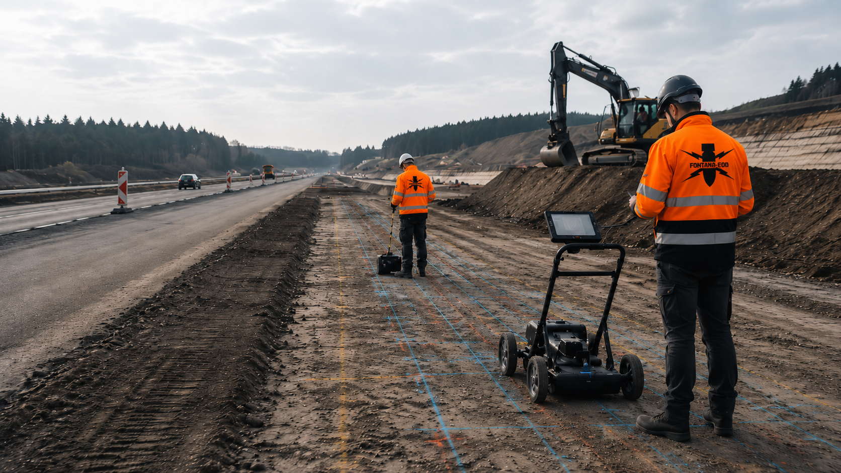
Excavations, sewer construction, traffic areas and earthworks combine large volumes of soil movement with varying depths and numerous interfaces. Explosive ordnance surveys, downhole surveys, excavation supervision and documentation must suit the construction sections, traffic management and equipment use.
Road construction and civil engineering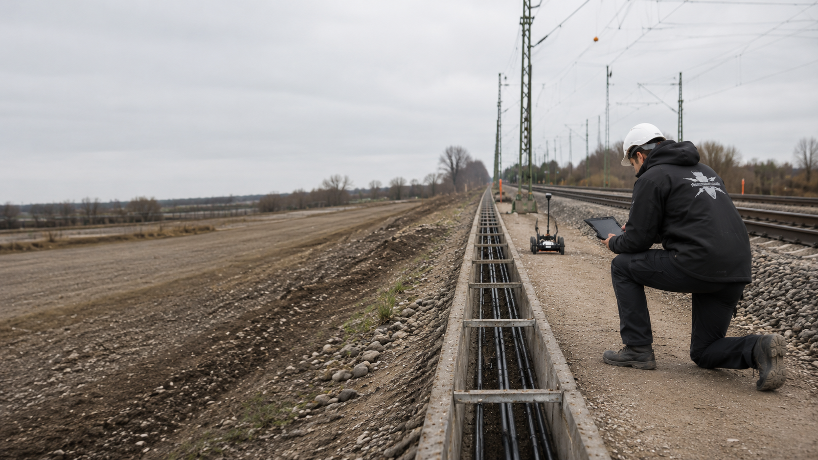
Track areas, cable trenching, platforms and work beside rail corridors involve operations, possessions, track formation, utilities and confined working spaces. GPR, magnetometry, borehole locations and documentation must clearly reflect the linear project structure.
Rail and track corridors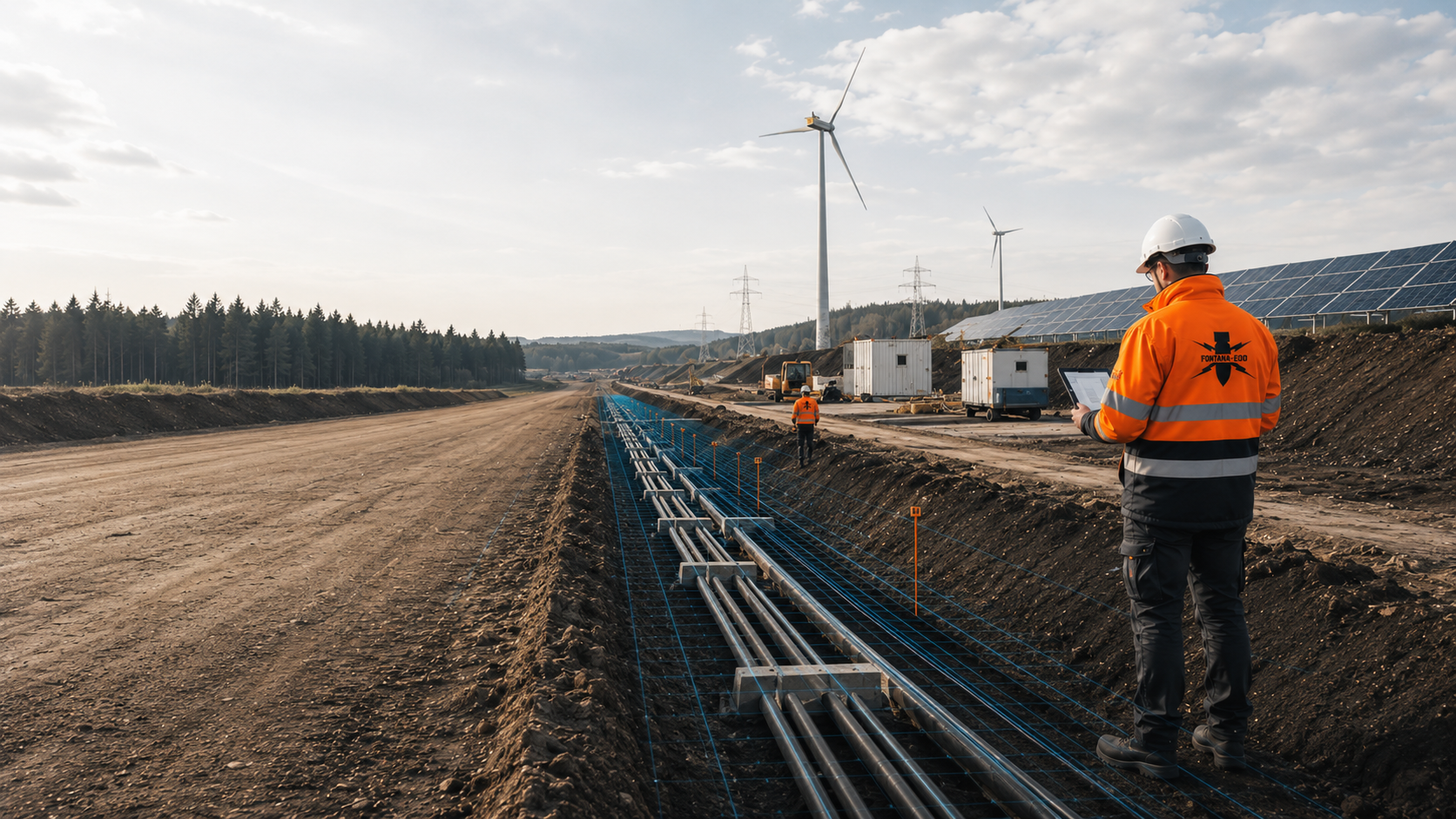
Cable and pipeline routes, substations, mast locations and network connections require section-by-section consideration of installation depths, crossings, existing utilities, borehole locations and assembly areas.
Utility construction and energy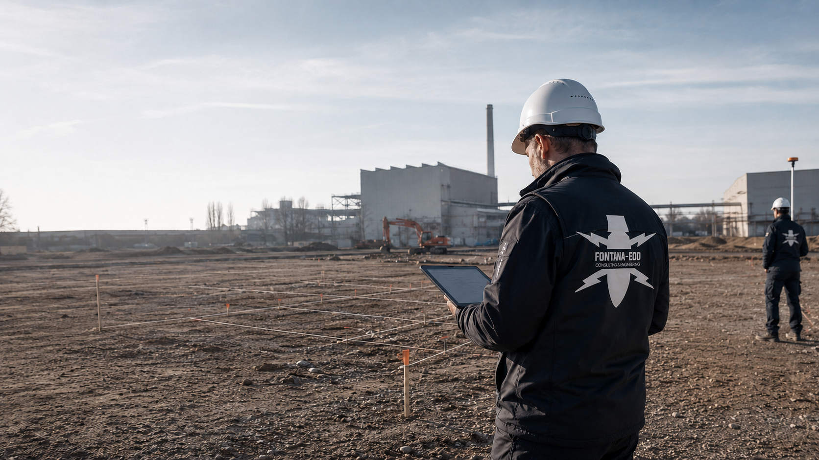
Existing installations, foundations, utility networks, scrap metal, made ground and previous uses often create complex interference. The investigation must clearly state which areas can be meaningfully investigated with which method.
Industry and commercial sites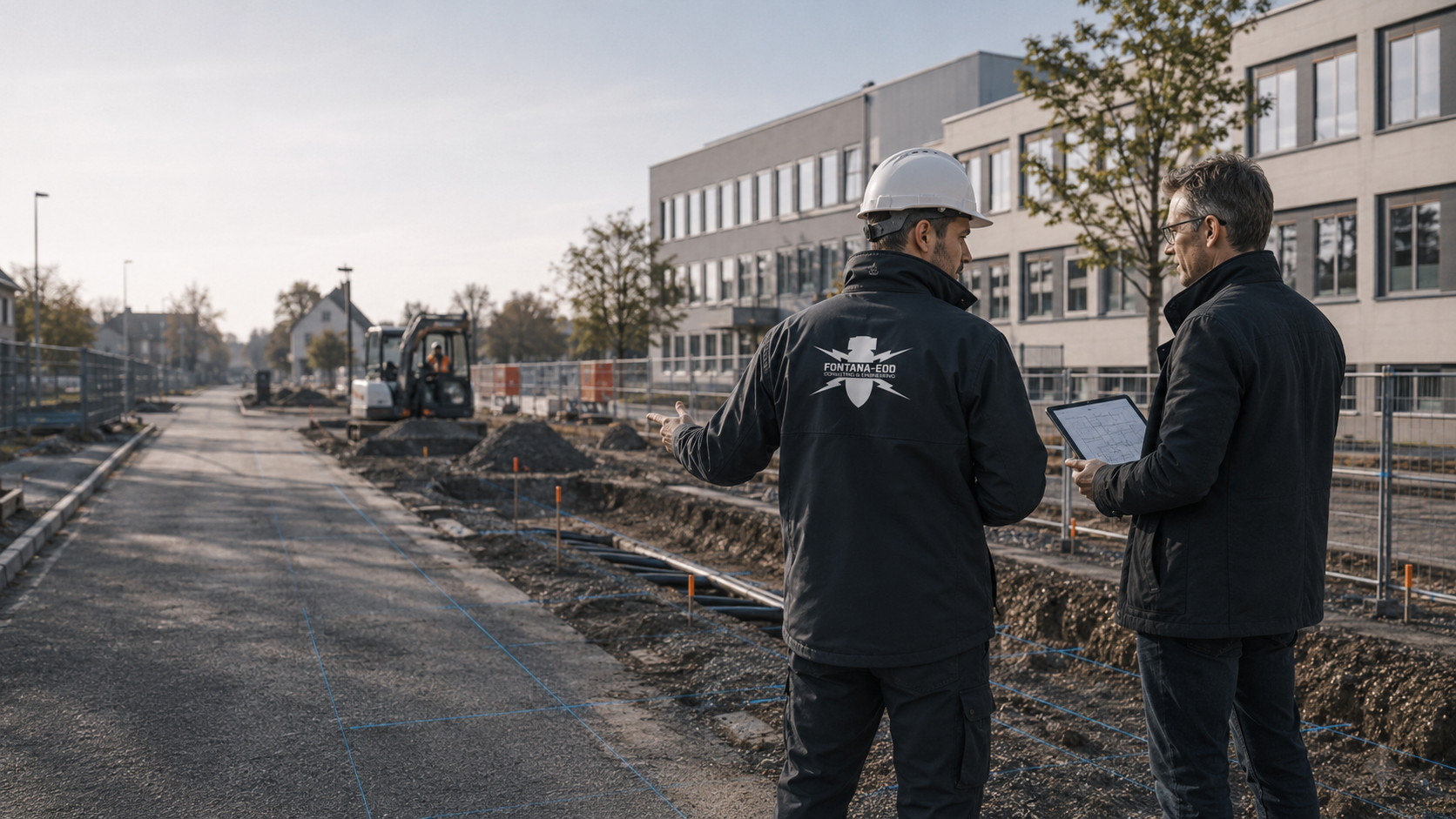
Schools, roads, sewers, public buildings and development sites need service specifications suitable for tendering, traceable documentation and clearly defined interfaces between clients, specialist contractors and the responsible authorities.
Local authority projects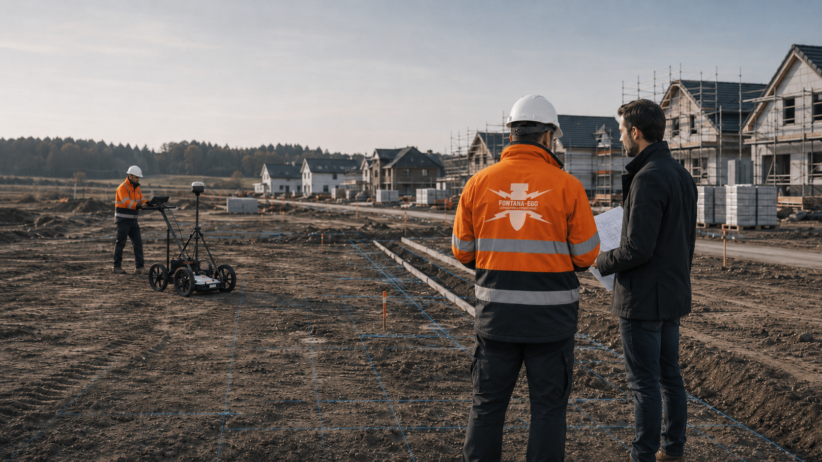
New housing developments, neighbourhoods and property developments combine area surveys, utility provision, ground investigations and later individual construction sites. An overall assessment helps divide the works into economically and technically appropriate sections.
Housing and site development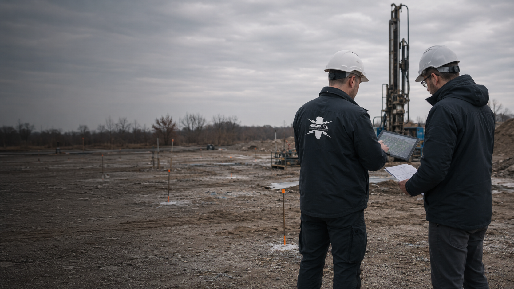
Drilling, probing, sampling and remediation may enter areas with suspected explosive ordnance. Ordnance, contaminated-land and ground investigation issues are treated as separate technical disciplines, while their work sequences are coordinated.
Environment and geotechnics
Energy, water, transport and communications facilities need robust safety and documentation processes. Access rules, operational shutdowns, protected areas and reporting arrangements form part of work preparation.
View sectors and applicationsIn Germany, the responsible authorities and application and reporting procedures vary by federal state and project location. Luxembourg has its own responsibilities. We therefore use the location to clarify which bodies need involvement and which requirements apply to investigations, anomalous findings or an actual find.

Clients operating throughout Germany need a consistent internal process even where procedures with authorities vary by region. Project location, construction site, ground disturbance, existing statements and the documentation needed are therefore recorded using the same technical principles.
Depending on the federal state, the ordnance clearance service, regional administration, public order authority, fire service, police or other bodies may have different roles. FONTANA-EOD aligns its private specialist work with local responsibilities and existing requirements.

For projects in Luxembourg, the location, suspected ordnance, construction phase and documents are coordinated with the relevant local bodies. Depending on the circumstances, SEDAL and the Police Grand-Ducale may need to be involved.
An investigation result must show which area was investigated, by which method and with what limitations. Clients and site management must be able to relate the conclusion to their planned earthworks. This applies equally to aerial photograph analysis, GPR, magnetometry, TDEM, downhole surveys and excavation supervision.
Aerial photographs, maps, archive records and land-use history are related to the specific construction site. The assessment focuses on indications of suspected ordnance that are relevant to the intended ground disturbance.
Historical assessment
An area-wide investigation requires a clear boundary, suitable access on foot or by vehicle, and a method capable of providing meaningful results under the conditions present. Interference zones and areas that cannot be surveyed are identified separately.
Surface survey
For deep ground disturbance, survey boreholes, measurement geometry and interpretation must cover the subsequent working space. Utilities, casings, relocated points and nearby objects are considered in planning.
Deep-ground survey
Excavation layers, equipment use, visibility, working spaces and lines of instruction are agreed before work begins. If an anomaly arises, the responsible specialist must be able to stop work in the area in an orderly manner and initiate the agreed communication.
Excavation supervision
Plans, measurements, anomalies, field records, photographs and the basis for interpretation are brought together so that the scope and limitations of the work remain clear. Conclusions never extend beyond the area actually investigated.
Documentation and project records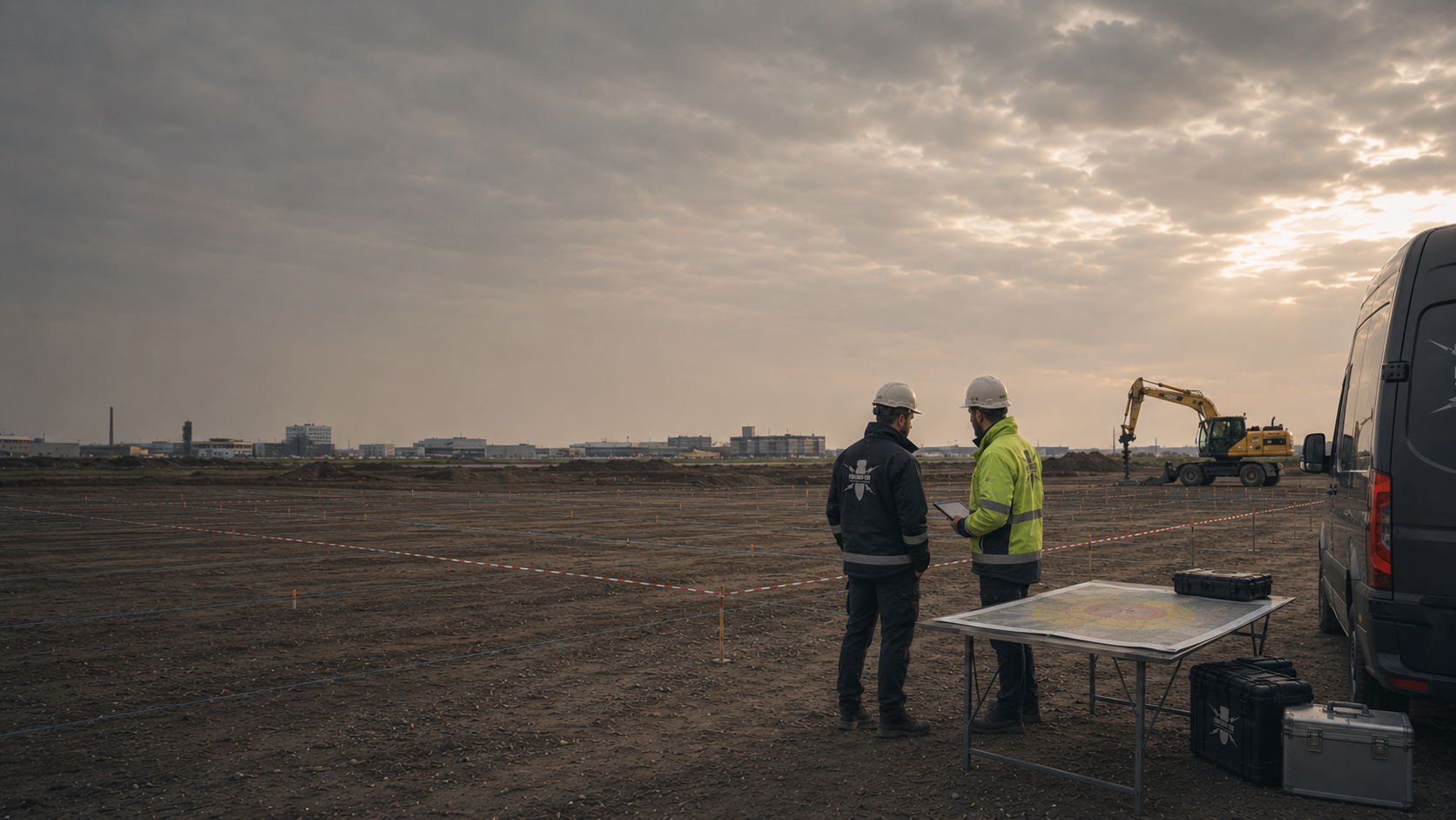
EOD provides a common technical language for international clients. In a German construction project, precise allocation to investigation, surveying, clearance, recovery and public-authority hazard response remains essential.
EOD and UXO

The documentation identifies the information used, the area worked, the method and the results. The site plan, measurements, findings lists and records must be consistent. People who were not on site should also be able to understand what was investigated and which limitations apply to further construction planning.
The project name, client, site plan, cadastral parcel, coordinate system, construction site, corridor, borehole locations and work boundaries establish the spatial reference. Changes during execution are recorded traceably.
Section identifiers and chainages are particularly important for linear projects. Borehole locations must be uniquely identified by point number, coordinates and target depth.
Submit location documentsHistorical assessments, information from authorities, earlier records, land-use history and known finds are documented with their sources and spatial reference. Contradictions or gaps remain identified as outstanding issues.
This shows whether a technical investigation is based on specific suspected ordnance, an official requirement or a precautionary decision by the client.
Assess the basis for suspicionEquipment, measurement principle, grid, survey direction, investigation depth, borehole geometry, excavation layers, ground, surface, accessibility and sources of interference affect the conclusions. Relevant conditions therefore form part of the report.
It is then possible to understand why a method was used, combined with others or supplemented by another approach in individual areas.
Compare servicesRaw data, processed data, anomaly lists, site plans, depth information and findings records must be consistent. Automated interpretation does not replace specialist plausibility checks in the context of the target object and interference. Where clearance work has been carried out, the clearance record documents the areas and depths worked, findings, measures and handover within the agreed responsibilities.
Where objects are exposed, their location, identification, handling and handover are documented within the agreed scope of services and responsibilities.
Clarify records of findingsUtilities, reinforcement, large interfering objects, vehicles, structures, vegetation or lack of access may limit surveying. These areas are identified spatially and assigned an appropriate further measure.
Clearly showing these limitations prevents conclusions from a partial investigation being extended beyond its scope.
Describe interference areasThe report must support a clear decision: additional investigation, further surveying, opening a specific point, supervision during construction, clearance, coordination with authorities or continuation of the planned ground disturbance within the documented area.
The conclusion remains tied to the area, depth, method and work status. This makes it traceable for clients, design, tendering and site management.
Agree the next stepsFirst, your documents and planned earthworks are reviewed. This establishes the investigations needed and their sequence. The steps that follow depend on suspected ordnance, construction method and local requirements.
Location, project type, construction phase, ground disturbance, depth, programme and required information are brought together. This establishes whether the task concerns preliminary investigation, tendering, borehole locations, an area survey, excavation or a current finding.
Site plans, cadastral parcels, corridors, borehole locations, earlier records, utilities and official requirements are checked for completeness and clear spatial definition. Unclear boundaries are resolved before the service begins.
Existing or newly obtained historical information is related to the planned ground disturbance. This establishes whether a technical investigation is needed and in which areas.
Survey objective, target object, depth, ground, surface, interference and construction sequence determine the method. For clearance work, the clearance objective, quality control, handling of finds and documentation are also defined.
Access, exclusion areas, briefings, authority to give instructions, equipment use, communication and procedures for anomalies are agreed with those involved before work begins.
Surveying, supervision during construction or clearance is carried out with a spatial reference using the agreed method. Obstacles, interference and changes in scope are recorded throughout.
Measurements and observations are checked for plausibility, anomalies interpreted and relevant findings compared with the investigation objective. The assessment takes account of the limitations of the method used.
The report, plans, records and conclusion are prepared for the project file, tendering or site management. Outstanding areas and necessary further measures remain clearly identifiable.
Mark work areas, borehole locations and planned depths on the plan. The property boundary may differ from the actual working area. To assess an earlier investigation, it must be clear where the next works will take place. Everyone involved should use the same drawing revision.
Identify in the project file which areas have been worked, which remain outstanding and where limitations apply. At handover to the next trade, this status is compared with its work order. A summary email does not replace the relevant site plan and documentation.
Report moved borehole locations, larger excavations or changes to retaining works with an updated plan. Include the earlier investigations. It is then assessed which results remain applicable and which additional areas or depths still need investigation.
The investigation suited to your construction project depends on the project stage, existing indications of suspected ordnance and the planned ground disturbance. The technical pages explain each method, its prerequisites and the associated documentation.
For purchase, development, change of use or early planning, the focus is on historical indications of suspected ordnance, area boundaries and existing documents.
For procurement and specifications, the investigation area, methods, depth, clearance objective, documentation and interfaces are described on a technical basis.
For ground investigation boreholes, piles, sheet piles, anchors or masts, point locations, target depth, investigation geometry and subsequent working space are coordinated.
Linear projects need section-by-section planning of working width, depth, crossings, existing utilities, accessibility and construction periods.
For ongoing earthworks, excavation layers, equipment use, work areas, lines of instruction and procedures for a find are integrated into site operations.
Where the location, ground disturbance, programme and documents are already established, FONTANA-EOD can directly assess the required scope of services on a technical basis.
You should be able to see who is responsible for the work, which qualifications they hold for it and what was actually investigated. This includes an identified method, an assigned site plan and documented results with their limitations.
FONTANA-EOD holds a licence under Section 7 of the German Explosives Act (SprengG) for the commercial activities specified in it, and individual certificates of competence under Section 20 SprengG are also held. The specific assignment of tasks must take account of the scope, restrictions and validity of the relevant documents.
This legal basis is combined with a method suited to the ground disturbance, documented quality assurance and clear lines of instruction and communication. Clients receive a technically reasoned conclusion about the area actually worked.
Depending on the commission, services range from historical investigation and technical surveys through excavation supervision and clearance to project documentation. Public-authority responsibilities remain clearly separated from privately commissioned specialist work.
Before work begins, we assess which result your project needs and whether the planned method can provide it under local conditions. Areas that cannot be investigated, or can only be investigated to a limited extent, are identified. The documentation must show these limitations as clearly as the areas and depths investigated.
Method and scope are determined from suspected ordnance, ground disturbance and the information needed.
Interference, utilities, ground, surface and accessibility are assessed openly.
Activities governed by explosives legislation are carried out within the licence by appropriately qualified personnel.
Plans, data and records remain clearly assigned to the area worked, the depth and the construction phase.
Clients, designers, site management, construction contractors and responsible authorities receive the information needed for their tasks.
The conclusion answers the specific task and identifies any further measures needed.
Construction responsibilities, technical specialist work and public-authority hazard response interact, but fulfil different roles. Clear allocation prevents gaps and conflicting expectations.
The developer, local authority or project promoter defines the construction task, investigation area and information needed. They provide existing documents, commission the necessary specialist services and ensure that ordnance issues are considered in design, procurement and construction.
Engineering, design and ground investigation consultancies translate the design into specific ground disturbances, depths, corridors and borehole locations. They need reliable information for specifications, programming, risk assessment, construction methods and coordination with other technical disciplines.
Construction contractors and site management follow the defined work areas, safety measures, briefings, lines of instruction and hold points. Changes to the construction sequence and unexpected anomalies are reported immediately through the agreed communication arrangements.
FONTANA-EOD assesses documents, develops an approach suited to the ground disturbance, carries out agreed survey, supervision or clearance services and documents the results. The scope depends on the commission, licence, competence and regional allocation of responsibilities.
The responsible specialist directs the relevant work, assesses hazards, makes safety-related decisions and coordinates the approach within their appointment and competence under explosives legislation.
Depending on the German federal state or country, KBD, KMBD, KRD and local authorities perform hazard-response tasks, deal with finds and decide on further measures. The private specialist contractor supplies the project and technical information needed for these interfaces.
The local public order authority and building control authority may specify project-related requirements for hazard prevention or construction. Which body makes which decision is clarified at the specific location. Existing letters are passed to those involved with their dates and spatial reference.
The applicable requirements depend on the activity, project location, circumstances of a find and responsibilities. Preparation particularly involves the licence and competence under explosives legislation, risk assessment, technical principles and regional procedures with authorities. These requirements must be reflected in the specification, work preparation and site organisation so that responsibilities and decision-making are clear before work begins.
FONTANA-EOD holds a licence under Section 7 SprengG for the activities specified in it. Individual certificates of competence under Section 20 SprengG are also held. The relevant scope, validity and requirements for responsible persons remain decisive when assigning tasks.
Section 7 SprengG concerns the commercial licence for activities involving explosive substances that require a licence. Section 20 SprengG concerns the certificate of competence for responsible persons. FONTANA-EOD holds a Section 7 licence, and individual Section 20 certificates of competence are held. The relevant scope, validity and task assignment are decisive for the commission.
The First Ordinance to the Explosives Act (1. SprengV), site-specific risk assessment and relevant health and safety rules must also be observed. DGUV Information 201-027 addresses risk assessment and protective measures in ordnance clearance. DGUV Rule 113-003 is relevant to the activities involving explosives and found ammunition described in it. The BFR KMR guidelines provide a structured basis for investigation, clearance planning, procurement and documentation, particularly for federal properties and as a technical reference.
Licences and certificates of competence do not replace work preparation. The commission, scope of activity, responsible persons, investigation or clearance objective, equipment, protective measures, communication and regional responsibilities must be consistent before work begins. An unexpected find follows different procedures from a planned preventive investigation; the responsible public authority decides on hazard response and further handling in the individual case.
The licence relates to the company and commercial handling within the activities covered by law. Its type and scope must suit the specific commission.
The certificate of competence relates to responsible individuals. Specialist knowledge, reliability, appointment and actual duties are decisive for execution.
Working methods, risk of finds, equipment, personnel, protected areas, briefings, escape routes and communication are related to the specific construction or clearance site.
The investigation or clearance objective, methods, quality control, spatial reference, findings and conclusions are documented so that the scope and limitations of the conclusions remain traceable.
The specification, area and depth references, qualification requirements, work and safety plan, procedures for a find and required documentation are clearly defined before commissioning.
Responsible persons, authority to give instructions, briefings, work areas, hold points and reporting arrangements must be known to everyone involved. Changes are assessed by specialists before implementation.
The affected area is secured, work is stopped in an orderly manner and the responsible authorities are involved. Identification, suitability for transport and further handling depend on the circumstances of the find and the statutory responsibilities.
Which investigation is needed before your ground disturbance? Here you will find services and survey methods with their conditions of use, together with information on the process, documentation and regional responsibilities.
Explosive ordnance disposal is often used as an umbrella term in projects. For a construction project, it must be translated into a specific specialist service: historical aerial photograph analysis, surface surveying using GPR, magnetometry or TDEM, deep-ground and downhole surveys, excavation supervision, area clearance, ordnance recovery or traceable documentation for the project file.
Select historical assessment, surface and deep-ground surveys, excavation supervision, area clearance, ordnance recovery and documentation to suit the ground disturbance.
Open the service areaRelate historical sources to the specific construction site and determine the need for technical explosive ordnance surveying or further assessment.
Assess the suspected hazard
Assess GPR, magnetometry and TDEM in relation to the target object, ground, surface, interference and information needed.
Select methods
Assess non-invasive surface surveying under suitable ground and site conditions on a technical basis and compare it with other methods.
Understand ground-penetrating radar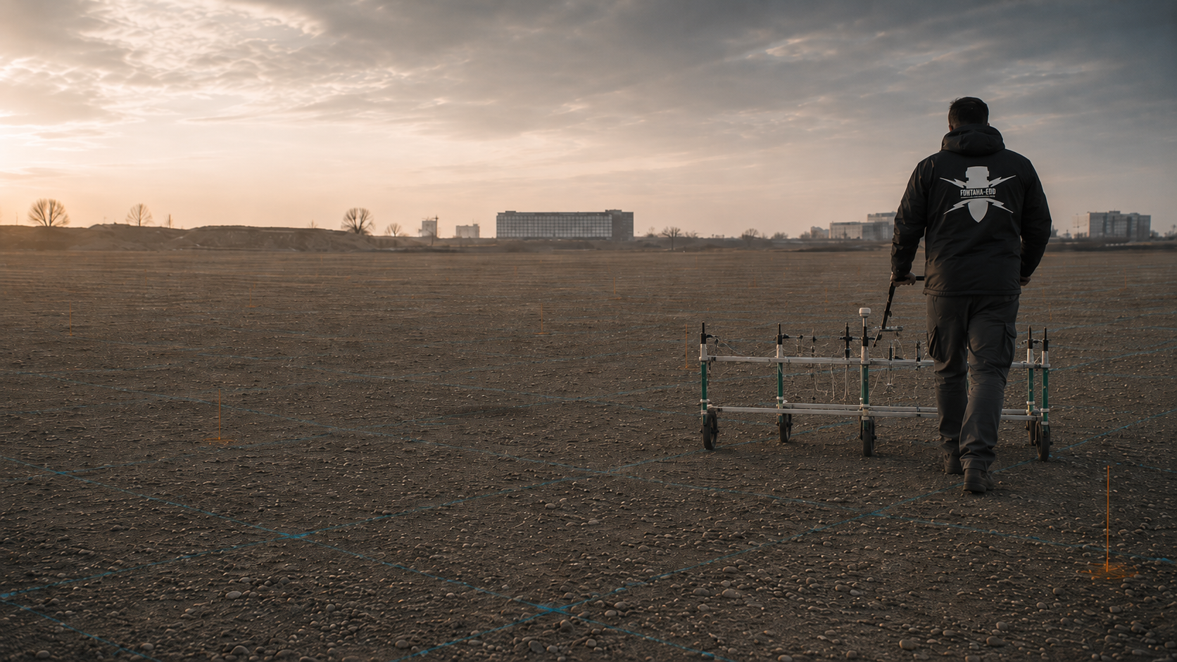
Assess ferromagnetic anomalies, interfering objects, survey grids and data quality for area-wide explosive ordnance surveys.
Assess magnetometry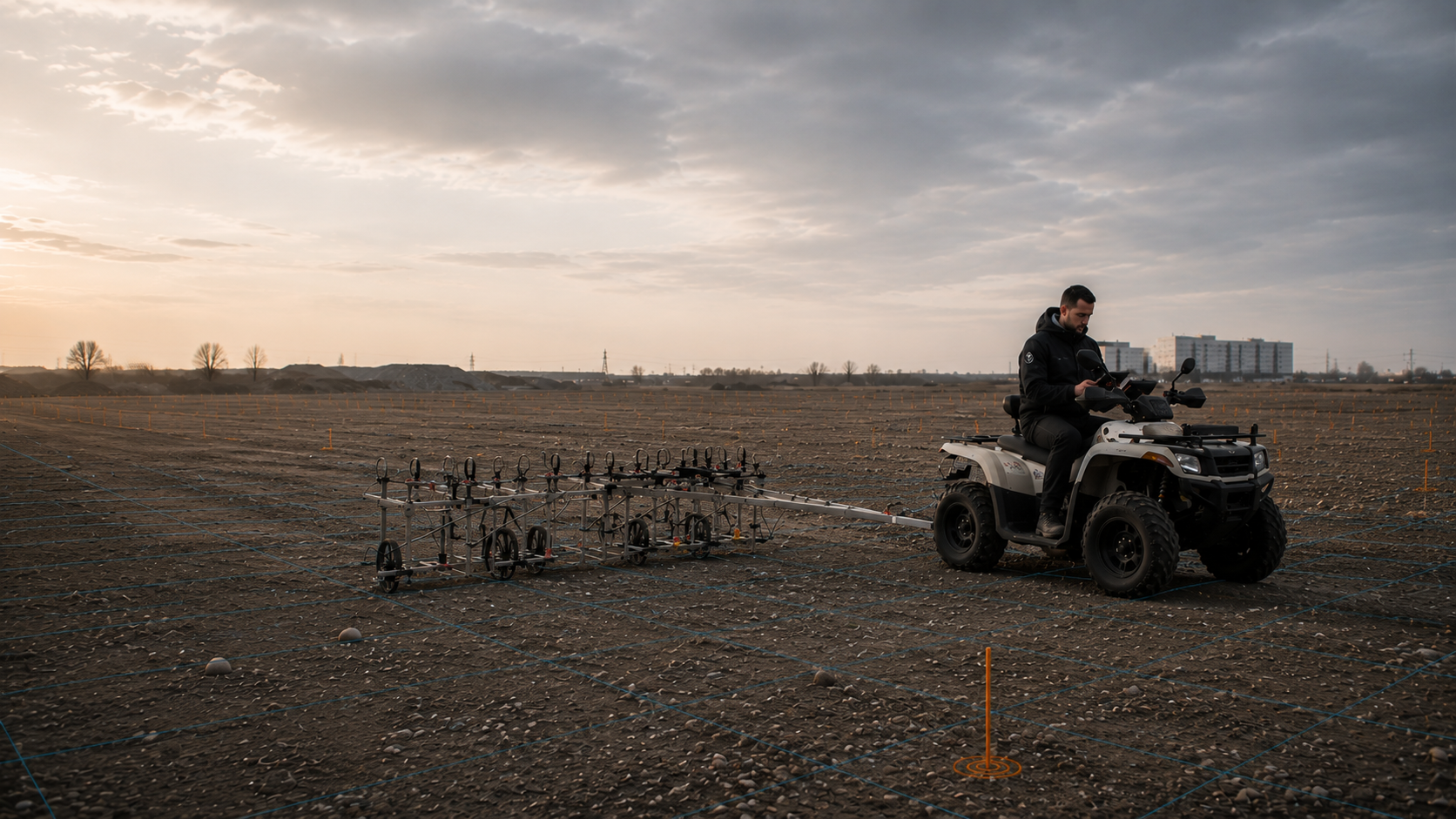
Consider electromagnetic responses from conductive objects when selecting a method under suitable site conditions.
Understand TDEMProvide point- and depth-specific assessment for borehole locations, foundations, piles, sheet piles, masts and deep ground disturbance.
Assess borehole locationsIntegrate ongoing earthworks, excavation layers, lines of instruction, procedures for a find and documentation during construction into site operations.
Supervise excavationDefine the work process, project file, measurements, assessment of findings, clearance record and completion documentation.
Clarify documentationClarify investigation needs for civil engineering, rail, energy, industry, local authorities, housing, environment and critical infrastructure according to the construction task.
Select a construction taskCorrectly identify the federal state, project location, regional responsibilities and cross-border projects.
Select a region
Send the location, ground disturbance, depth, programme, suspected ordnance and existing documents directly to FONTANA-EOD.
Have your project assessedHistorical evidence, an anomalous measurement and a finding assessed by specialists represent different levels of knowledge. The specific conclusion in the relevant report therefore matters for the next decision. In an enquiry, identify which document is available and which question remains open. The technical assessment is then tied to the actual work status rather than inferred from a brief label alone.
Look up technical termsA report relates to the task described in it, the areas investigated and the documented conditions. Area plans, depths and stated limitations form part of its conclusion. These elements should be available together when passed to designers or site management. The process and documentation overview helps organise the documents for a specific subsequent decision.
Organise project documents and recordsProject location, ground disturbance, existing documents and local responsibilities form part of work preparation. For complex sites, deep ground disturbance or ongoing construction, the scope of investigation and documentation needed are agreed using the design and construction documents.
An assessment should be planned once earthworks, drilling, foundations, utility trenches, corridors or demolition are envisaged and the explosive ordnance status of the ground has not been reliably established. The appropriate time is before the construction sequence is fixed and, where possible, before tendering or procurement, so that documents, methods, area coverage and interfaces can be coordinated on a technical basis.
First, the documents, basis for suspected ordnance and planned ground disturbance are assessed. These determine the investigation area and method. After the agreed survey, supervision or clearance work, findings are assessed and documented. The client, designers and responsible authorities agree the next steps.
Useful information includes the project address, site plan, cadastral parcel, site or corridor boundaries, borehole schedule, planned depth of ground disturbance, construction phase, programme, utility plans, ground investigation documents, existing aerial photograph analyses, letters from authorities and known anomalies. If some documents are missing, it can first be established which information is still needed for a sound choice of method.
The method depends on suspected ordnance, target objects, depth of ground disturbance, ground structure, surface, accessibility, utilities, reinforcement, metal interference and documentation needed. GPR, magnetometry, TDEM, deep-ground surveys, downhole surveys and methods used during construction answer different questions. A coordinated combination is often more appropriate than using a single method in isolation.
The specialist contractor agrees the investigation scope with the client and designers, carries out the commissioned services and documents the results. Official requirements and hazard response are the responsibility of the relevant authorities at the project location. In Germany, public ordnance clearance services are involved according to state responsibilities; in Luxembourg, the relevant national arrangements apply.
Reliable survey, clearance or project documentation describes the investigated area, initial information used, method, survey and working conditions, anomalies identified, specialist assessment and limits of the conclusions. It provides a traceable basis for clients, design, tendering and site management. The further decision that follows depends on the specific scope worked and the intended ground disturbance.
Key factors are area size or corridor length, number and depth of borehole locations, accessibility, surface, vegetation, existing utilities, interfering objects, method required, data and documentation scope, construction phase, available time windows and regional coordination. A sound quotation therefore requires a spatial reference and a clear description of the planned ground disturbance.
Work in the affected area must be stopped in an orderly manner. The object must not be touched, moved or examined, and the area must be secured against unintended access. Site management or project leads and the locally responsible authorities must then be involved. The specific hazard response and further action depend on the circumstances of the find and regional responsibilities.
An enquiry does not need to contain a completed specification. It should, however, show where work will take place, what ground disturbance is planned, which documents are available and what information is needed.
For an initial technical assessment, the project location, site plan, type and depth of ground disturbance, construction phase and existing aerial photograph analyses, official requirements, as-built or utility documents are usually sufficient. These help identify the service needed, missing documents and the technically appropriate next step for the project.
The project address, federal state or country, site plan, cadastral parcel, site boundaries, corridor section, chainage, coordinates and accessible work areas allow clear spatial identification.
Where there are several construction phases, it should be clear which areas will be worked first and whether different depths or construction methods are planned.
Describe excavation, a utility trench, borehole, pile, sheet pile, demolition, area clearance or other ground disturbance. Target depth, diameter, working width, construction equipment, programme and design status affect the method.
It is also important to state what the result is needed for: design, tendering, checking a borehole location, a documented conclusion about a working area or supervision of ongoing construction.
Where possible, include complete aerial photograph analyses, correspondence with authorities, contaminated-land reports, ground investigation documents, utility and as-built plans, earlier survey reports, anomaly lists and clearance records.
Incomplete or contradictory documents are relevant too. They show which information still needs to be obtained or clarified by specialists.
For an initial assessment, a site plan, brief description of the ground disturbance, maximum depth, planned period and existing indications of suspected ordnance are often sufficient. FONTANA-EOD then identifies the documents still needed and the relevant service area.
Boundary, length, width, access, construction sections and inaccessible areas.
Point schedule, coordinates, target depth, drilling method, diameter and sequence.
Start date, excavation layers, equipment use, rail possessions, parallel trades and dates when decisions are needed.
Documentation for design, tendering, the client, site management, the project file or regional coordination.
Whether historical aerial photograph analysis, explosive ordnance surveying, surface surveying using GPR, magnetometry or TDEM, deep-ground surveys, downhole surveys, excavation supervision, area clearance or ordnance recovery is needed depends on the location, ground disturbance, depth, ground and existing documents. An early ordnance assessment provides clarity for tendering, programming, occupational safety and construction.
FONTANA-EOD combines its Section 7 SprengG licence, specialists holding Section 20 SprengG certificates of competence, suitable survey and clearance methods, and traceable documentation. Send the site plan, depth of ground disturbance, construction phase and existing documents for an initial technical assessment.


