Project pathway
The quickest route to the right decision.
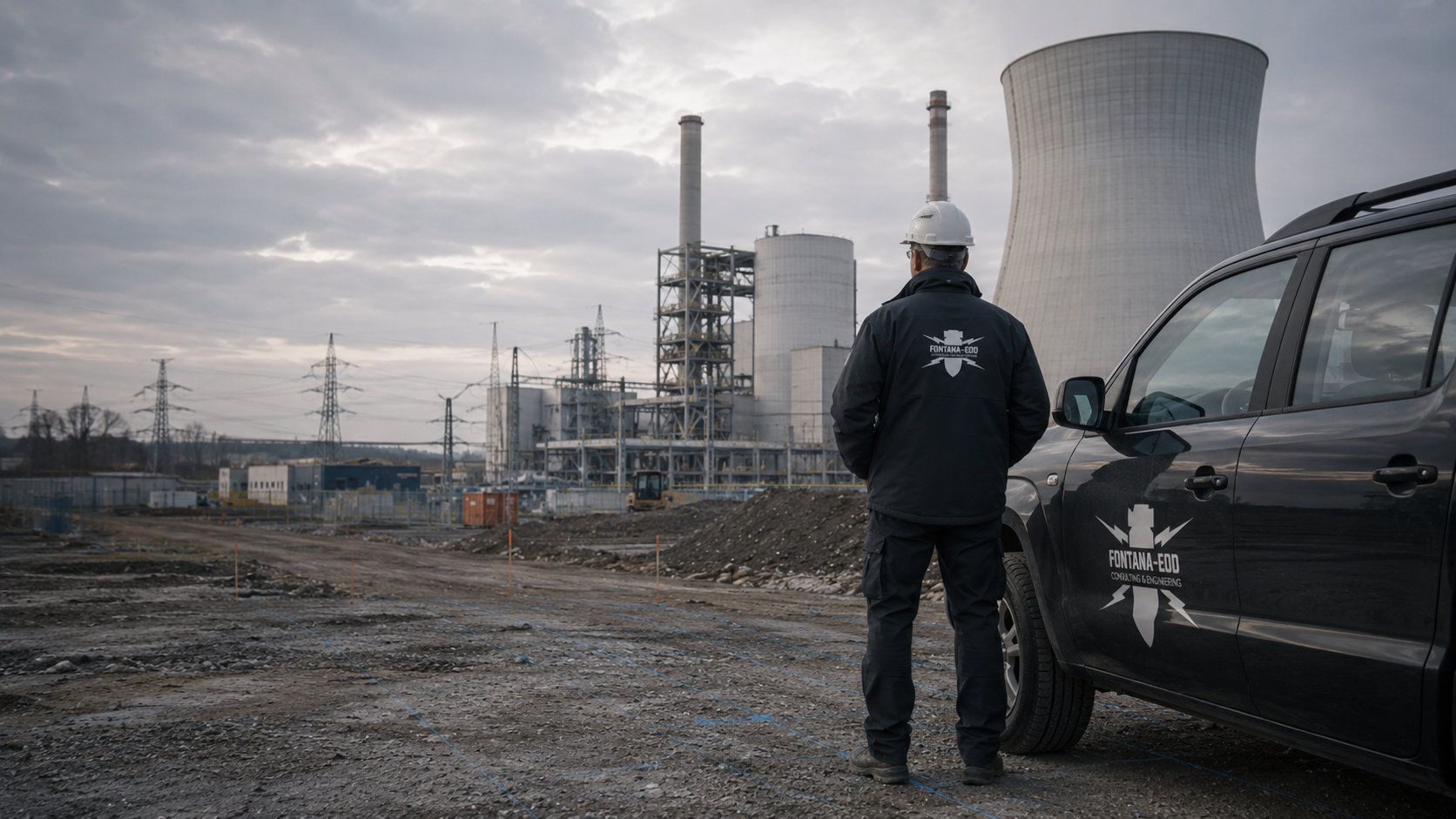
The explosive ordnance assessment of an energy park must also fit the planned cable routes and connection excavations. Where different teams design them, we need a shared overview plan and the existing partial reports. FONTANA-EOD clarifies the investigation needed for the agreed groundworks with you and documents the areas and depths addressed.
Show the park area and connecting utility on the plan.
Mark route options still open.
Compare reports at contract boundaries.
For an energy park, investigation requirements are clarified from the planned installation foundations and utility works. The park area and grid connection may have different investigation areas and plan revisions. FONTANA-EOD coordinates the work with these areas of ground disturbance and documents which areas the results actually cover.

An energy park may combine extensive installation areas, individual foundations and longer connecting utilities. Show their locations, depths and working space in a coordinated set of plans. Specialist preparation relates available evidence to the individual areas of ground disturbance. A total area figure leaves unclear which parts of the ground are actually affected and where additional tasks lie outside the park boundary.
Select services for foundations and utility worksAn open park area may have different conditions from a connection area beside roads, utilities or technical installations. The method is selected for the specific question and existing conditions in each area. Identify known installations and access arrangements. An approach suitable for one section is not applied to the entire connection route without assessment.
Adapt methods to local conditions
If the connection route moves or the foundation changes, provide the specialist contractor with the new plan revision. Mark differences from the previous version. A technically equivalent connection may affect different ground. Existing documentation is therefore compared with the location and depth of the new work before its findings are used again.
Compare new plan revisions with existing reportsThe project boundary of an energy park does not automatically bound all ground disturbance. The grid connection may lie outside it; additional equipment may require separate foundation and cable works. Shared planning must link these parts clearly.
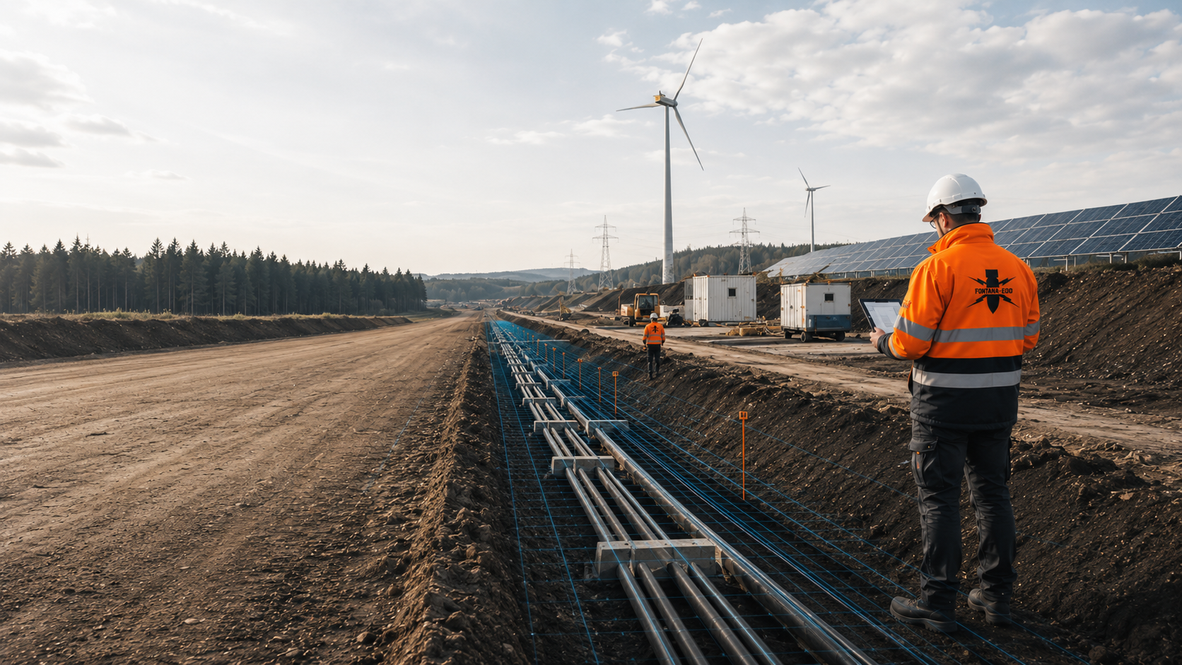
Describe the location and depth of foundations using the actual assumptions for construction. A later change to the foundation may alter the volume of ground to be considered. The investigation therefore relates to more than the layout plan of the above-ground installation alone.
Assess installation foundations within energy and utility worksThe connection route requires its alignment, chambers and any particular crossing areas to be specified. Keep differing depths and construction methods identifiable. An investigation within the park area does not replace assessment of a route outside it.
Explosive ordnance assessment for utility and energy constructionConnection structures, additional storage or technical extensions may involve new ground disturbance. Even within a familiar project area, comparison with the documented scope is necessary. An unchanged property boundary is insufficient.
Assess connection structures and energy installation extensionsSeveral connection options may remain open at an early stage. Record options considered and construction areas actually investigated with their respective status.
Provide the options and their status. Historical or specialist assessment may help further planning. The technical investigation required before construction is coordinated once the ground disturbance actually needed has been defined. Mark the intended connection structures and location or depth details still open for each option. The specialist contractor assesses where available evidence can be used and what information is needed for the next stage. After an option is selected, all design disciplines involved receive the same valid revision. Areas not yet investigated remain explicitly identifiable within this allocation.
Check whether the connection route and its depths are included in the existing report. A shared client or project name does not extend the investigation scope. Route sections not covered are treated as a separate task. The comparison also includes working pits, crossings and the transition to the connection structure. The design shows their locations, depths and current status. Existing partial reports are passed on with all attachments. The specialist contractor describes where additional work is required. New investigation results are then assigned to the affected section and handed over with the limitations that remain applicable.
Add foundations, cables or chambers to the current plan. Compare the volume of ground they affect with earlier results. The decision concerns the specific new ground disturbance, rather than a general reassessment of every unchanged part of the project. For the extension, record which structures are new and where they lie relative to the earlier works. Changes to working space or connection routes belong in the plan attachments. The specialist contractor receives the new revision for assessment before the affected work proceeds. A supplementary report identifies the areas addressed and the conditions of its findings. Unchanged and new documents remain assigned to their respective tasks.
The park design may already be detailed while the connecting utility route or location of a handover point is still being coordinated. State which construction areas are fixed and which routes remain open. A report for the park area covers a connection corridor outside it or an excavation added later only if it actually belongs to the documented investigation scope.
According to Germany's Federal Network Agency, the network operator needs information for a grid connection in Germany to assess grid compatibility and determine the grid connection point. This energy-sector coordination must be distinguished from investigation of the ground. Include the intended groundworks for the grid connection in explosive ordnance planning and identify details still open. The explosive ordnance status of the ground is established through the relevant documentation and investigations.

Mark each working area on a shared overview plan. Identify not only property or ownership boundaries but the earthworks actually planned. Where several contractors are involved, establish for each transition which report covers which areas and depths, and who supplies planning details still open.
Temporary construction areas may require their own foundations, ground removal or utility works, for example. Include such ground disturbance in the enquiry even if the area will not remain part of the energy installation. Also state if an existing area will merely be used differently, with no groundworks planned there. The investigation brief depends on the actual ground disturbance.
If two connection corridors are being assessed, keep their status distinct. Identify the preferred route and the option still open with dates and plan names. Agree which areas are to undergo specialist assessment. Results for one option are not applied to another route without a spatial comparison.
For energy parks and their grid connections, it must remain clear which ground disturbance a result relates to. Documentation brings together the initial information, the investigation actually carried out and its conclusions. A property name or short completion note is insufficient to assess later changes to the construction project.
Provide existing site plans, historical assessments and earlier investigation reports with dates and attachments. Location and level references matter for installation foundations, cable trenches, chambers and connection structures. Undocumented assumptions are recorded as details still open. When selecting a method, this keeps clear which statements rely on documents and which conditions still need clarification.
The areas surveyed, methods used and departures identified are assigned to the construction revision implemented. An inaccessible area or an area where data cannot be evaluated is not summarised as completed. Changes during fieldwork also belong in the result documents. This distinguishes the report's assessment from a survey originally planned but not carried out.
The handover identifies the volume of ground investigated, applicable conditions and remaining questions. A new cable route or additional battery or equipment foundation must then be compared with this scope. The parties must be able to identify whether available evidence remains applicable or additional work is needed. Findings for an investigated area must not be extended to further areas or greater ground disturbance depths without assessment.
Different design parties may represent the same interface differently. A common reference for coordinates, levels and plan revisions makes it easier to assign investigation results to the correct construction task later.
Park and route plans use a clearly identified connection area. Keep options still open and differing plan revisions visible. This makes clear which part will be addressed in the next investigation phase.
Temporary areas are included where the ground will actually be opened or penetrated. Use solely for logistics must not be equated with construction of an area. The design describes the intended conditions.
Completion of an initial construction section remains spatially limited. Later installation components are compared with that scope. Existing results continue to be used within their documented scope; additional investigation requirements are assigned to the new ground disturbance. Identify the affected area for necessary follow-up investigations or exposure work. Recovery of confirmed explosive ordnance is coordinated with the permitted scope of activities, local responsibilities and documentation requirements. Following actual exposure or clearance work, include the corresponding findings and clearance records.
Send overview and detail plans, existing explosive ordnance reports and the planned sequence of construction sections. Identify which information is already agreed and where options remain. Name a contact for park design and another for the grid connection, together with responsibility for shared transition areas.
Compare the investigation areas and depths covered by the individual reports side by side. Pay particular attention to transitions between cable sections and substation excavations, and to ancillary areas added later. The comparison shows whether the next planned ground disturbance is described or whether documents, a specialist assessment or further investigation are needed first.
A changed grid connection point or route may alter the agreed investigation area. Pass such changes and the new plan revision to the responsible specialists. Retain existing documentation as evidence of the work actually carried out; a new drawing does not automatically extend its spatial scope.
Work follows the increasing maturity of the design. Historical assessment, technical investigation and handover are related to the decision required at each stage.
Project management identifies the parts that are fixed and those still open. Existing explosive ordnance documentation is assessed against them. The ground disturbance geometries needed for the next step are defined. Where historical evidence is incomplete, suitable sources are researched and aerial photographs evaluated for the affected areas. The results are spatially related to present-day installation areas and connection options and incorporated into further investigation planning.
Access, ground conditions, existing utilities and metal installations affect the work. The parties coordinate investigation timing with the actual construction conditions.
The method is selected using the basis for suspicion, ground conditions, depth of ground disturbance, interference and accessible areas. Project management, designers and the specialist contractor coordinate the necessary investigations and protective measures with the construction sequence for the park and connection.
The commissioned investigation is carried out in the agreed installation areas and route sections. Survey data, findings and limitations are recorded with location, depth and plan references.
Survey data and findings are evaluated by specialists. Areas still open, necessary follow-up investigations and the next decision are identified for installation designers, route designers and construction management.
The results documentation distinguishes installation areas and route sections. Remaining gaps and conditions stay visible. Changes trigger a fresh comparison before ground disturbance.
Location, depth, construction conditions and the suspected hazard govern the investigation. Electrical connection capacity alone does not describe these conditions. A small connection structure may, for example, extend locally deeper into the ground than another project covering a large area. Provide ground disturbance depths from the construction plans accordingly; the required investigation depth is defined for each task.
Existing utilities, metal installations, surfacing and terrain can affect the selection and findings of geophysical methods. Conditions at the edge of an existing installation may therefore impose different requirements from an open construction area. Provide utility plans and information on planned dismantling. Which survey method is suitable under these conditions is assessed by specialists for the respective ground disturbance. Necessary investigations and protective measures are planned before ground disturbance during vegetation clearance, dismantling, surface breaking or creation of access routes and working areas. Areas becoming accessible later are investigated before the respective subsequent ground disturbance.
For solar farms, wind farms, battery storage and substations, consider the respective structures and ground disturbance separately. Coordinate their investigation at individual contract boundaries too. If a substation is relocated, for example, compare its new location and changed connection with the earlier investigation results.
Extensive installation areas and narrow connection routes may have different investigation conditions. Method selection depends on the suspected hazard, depth of ground disturbance, interference and the findings required, rather than the description ‘energy park’ alone.
Assessment of historical aerial photographs and other documents helps establish suspected explosive ordnance hazards. It considers previous uses and identifiable indications in the investigation area. This provides a basis for deciding on further measures. It does not replace a technical survey of the ground and cannot describe every later fill or subsequent change.
Historical aerial photograph assessment for the construction areaMagnetic and electromagnetic surveys detect different physical properties. Utilities, steel parts, reinforcement and metal-bearing made ground can affect data evaluation. A signal is initially a survey finding, not a confirmed object identification. Method selection must therefore consider expected target objects, surroundings and actual data interpretability together. Magnetometry detects magnetic anomalies; TDEM detects time-dependent electromagnetic responses from electrically conductive objects.
Magnetometry and site conditions Assess electromagnetic surveyingGround-penetrating radar adds information where the question and ground conditions are suitable. The discernible depth and distinguishability of structures depend, among other things, on ground conditions and existing installations. It is not a universal replacement for other survey methods. Whether a combination adds useful information is decided using the specific survey objective.
Ground-penetrating radar and its limitationsFor deeper ground disturbance, investigation from suitable boreholes or survey points may be considered. Their location, depth and technical construction must be planned. Findings for a point or limited area cannot be applied to the next excavation merely because it is nearby. The report must identify the volume of ground actually investigated. For individual substation foundations or connection excavations, compare the volume of ground to be investigated with achievable survey coverage before defining a borehole grid. Necessary investigations and protective measures are determined before drilling. Casing, borehole depth and documentation are coordinated with the task and local conditions.
Coordinate deep-ground and borehole surveysWork during construction is neither required nor sufficient merely because an excavator is working on the site. Its use is defined in relation to previous surveys, suspected hazards and the construction sequence. Unclear areas, interfering installations and intended ground intervention depths must be discussed before work begins. Any necessary investigation of findings must be planned separately. Each working layer is technically surveyed and assessed before controlled removal in layers with supplementary visual inspection. These steps are repeated down to the agreed excavation base. Excavation layers, stop signals, authority to issue instructions, reporting procedures and documentation are agreed with site management and specialist personnel before work begins.
Excavation supervision for the planned section Explosive ordnance recovery following technical clarificationFor energy parks and their grid connections, traceable work on the specific areas of ground disturbance matters. FONTANA-EOD describes the agreed investigation scope and the limits of the methods used. Conclusions are drawn from the documentation and results actually available. Unresolved information or restricted survey conditions remain assigned to the affected investigation area.
The planned ground interventions are maintained on an agreed site plan. Where changes occur, the revision replaced is recorded. This prevents the specialist contractor inadvertently working to older geometry while construction is already preparing a different ground intervention.
An anomalous signal is initially a finding requiring technical assessment. Conversely, difficult or unreliable data evaluation cannot be treated as a negative result. Useful further investigation is decided in view of the survey question and site conditions.
Project management for installation and grid connection design receives the results and limitations needed for the next decision. For areas still open, clarify which information or action is missing. The project parties thus retain an identifiable handover point between investigation, assessment and further construction.
A connection commitment and an explosive ordnance finding answer different questions. Those responsible must keep the respective decisions and plan revisions separate.
They provide the installation layout, foundations and intended extensions. Changes to foundations or construction phases are communicated before construction.
They describe the route, handover points, crossings and construction methods. The investigation required depends on the affected ground disturbance.
FONTANA-EOD addresses the agreed explosive ordnance scope. Authority information and procedures following a find are handled according to local responsibilities. Results remain assigned to the volume of ground investigated.
In Germany, state ordnance disposal services and locally competent authorities carry out hazard response and find management. Their involvement and public-order or building-control tasks are established for the project location. Outside Germany, local responsibilities apply. Contacts, requirements and reporting are assigned to the specific works.
Explosive ordnance planning complements the technical and organisational requirements of installation and utility construction. Explosive ordnance findings are documented for the affected groundworks.
For groundworks at an energy park and its connection route in Germany, the required permit and competence framework follows the Explosives Act, in particular §§ 7 and 20, where applicable to the specific activity. Before construction, the client and specialist contractor clarify which tasks, responsibilities and corresponding evidence belong to the agreed scope of services. § 7 SprengG concerns the commercial permit for activities requiring permission, while § 20 SprengG concerns the certificate of competence for responsible persons. Under § 1b SprengG, searching for found ammunition also constitutes handling.
The authorisations and competence required for an activity in Germany depend on the specific commission. A general label such as “ground testing” therefore does not replace the explosives-law framework and the requirements of the 1. SprengV. Service scope, responsible specialists and planned work steps form part of defining the commission. Official decisions are taken by the competent authorities.
Understand authorisation and competence requirementsRisk assessment must consider the activity and its surroundings. Ordnance hazards exist alongside drilling, excavation, traffic and operational risks. DGUV Information 201-027 supports activity-specific preparation. DGUV Rule 113-003 addresses dismantling or destroying explosives or corresponding objects and disposing of found munitions, and is considered where applicable. Requirements and occupational safety measures relevant to the project must be coordinated with those responsible.
Documents and constraints for preparationThe BFR KMR describe a structured approach on federal properties. Their principles for methods and documentation can help specialist planning. Their application to the energy park and its connection route, local procedures and responsibilities are clarified for the individual project. Following an actual find or specific suspicion, the prescribed reporting and securing procedures remain decisive.
Document results and limitations traceablyA combined site plan aids orientation but should still show individual investigation scopes and report revisions. Identify the areas addressed, investigation limitations and connection sections still open. The level reference used also forms part of a traceable allocation where working levels or planned depths differ.
The explosive ordnance report describes the agreed investigation of the ground and its results. The respective responsible parties address the grid connection, electrical testing and operational commissioning. Network capacity and the connection date must be clarified with the network operator. The explosive ordnance report, by contrast, shows whether the intended groundworks fall within the documented investigation scope.
Technical foundations: BFR KMR: Clearance planning and clearance concept – introduction · BFR KMR: Geophysics · BFR KMR: Documentation · Federal Network Agency: grid connection of renewable energy installations
The Federal Guidelines on Explosive Ordnance Clearance contain requirements for historical and technical investigation, clearance concepts, procurement and documentation within their defined federal remit. Their application to the specific construction project for the park and grid connection, together with locally applicable requirements and responsibilities, is clarified separately.
Specify route alignment, construction method and ground disturbance depth by section; equipment foundations require their location and intended foundation design to be shown on the plan.
Bring utility sections, connections and handover points together.
Utility and energy infrastructure works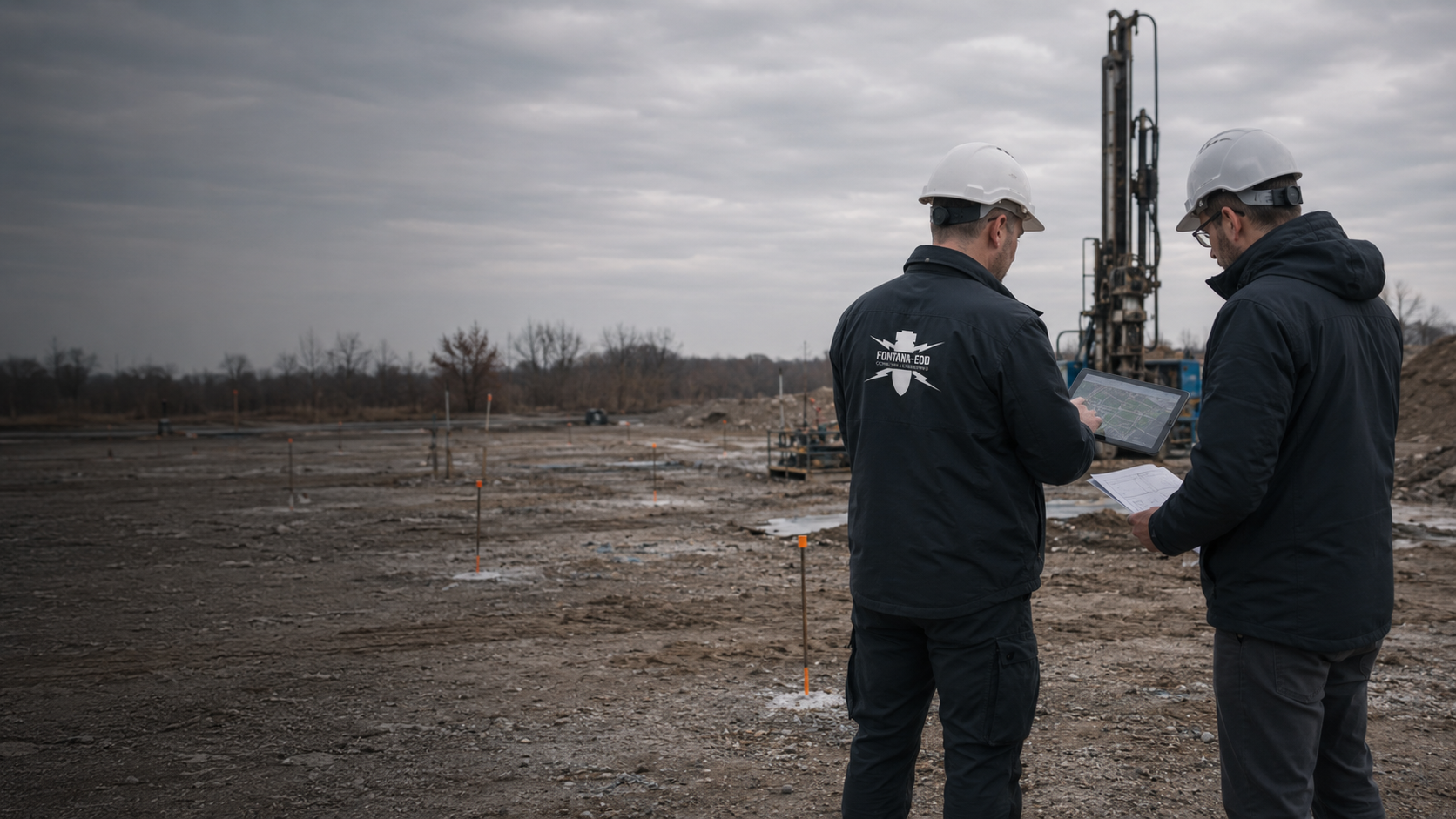
Record individual areas of ground disturbance with their locations and planned depths.
Borehole and investigation points
Historical assessment, technical surveys and investigation of findings have different tasks. Selection follows the specific ground intervention and the information already available.

Review the historical basis for the planned construction area and assess identifiable indications of explosive ordnance hazards with their evaluation limitations.
Historical aerial photograph analysis
Consider deeper ground interventions with their location, construction details and required spatial survey.
Deep-ground and downhole surveys
Coordinate any necessary work during construction with preliminary surveys and the intended excavation sequence.
Excavation supervisionDuring early planning, keep park areas and possible connection routes separately identifiable. Available evidence can be assigned to the respective options. The next coordination step establishes which details are missing for selection. A specific investigation scope is developed from the selected construction task; it does not arise solely from a general connection enquiry.
If the park and connection are constructed at different times, each section needs a traceable basis. Describe ground disturbance, depths and available documentation together. Keep transitions between sections explicitly identifiable. Documentation records the scope actually addressed so that a completed area is not inadvertently taken to cover connection areas still open.
An additional technical installation may require new foundations and utility routes. Compare the resulting groundworks with the earlier results plan. Use earlier findings where their scope applies to the new task. Assign any additional investigation needed traceably, even if the extension lies within a familiar park boundary.

State the park location and mark connection areas outside it. Consistent section names help where several properties or construction lots are involved. Add the respective project contacts. The regional overview provides orientation; specialist planning also requires the actual groundworks and corresponding current plan revision.
Supply existing requirements and earlier specialist reports with their spatial attachments. A statement about the park area may address a different subject from documentation for the connection route. Keep these distinctions identifiable. The responsible parties clarify open references before existing results are used for new or altered groundworks.
Consider a report together with its site plan, depth information and limitations. Its applicability depends on whether it covers the planned work. A shared project name does not replace this comparison. New connection pits or relocated foundations are therefore compared with the actual investigation scope.
Explore results and terminologyThe technical design of the grid connection addresses its own remit. The explosive ordnance assessment describes the specialist contribution to the planned groundworks. The project team brings both bases together. The connection decision is documented with the technical network documents, and the explosive ordnance assessment with the corresponding ground investigations.
Document network planning and investigation resultsTechnical information
Work at critical infrastructure requires careful coordination with operations and construction design. The brochure explains preparation, suitable investigations and traceable result documentation.

Only where the planned utility and its ground disturbance lie within the documented investigation areas and depths. Sections outside them or relocated later require their own technical comparison.
A connection corridor still open may be considered as a clearly identified design option. Before commissioning, define which areas and questions are to be addressed. Give each option an unambiguous plan revision. It remains clear which options were merely considered, selected or actually investigated. Considering an option does not, by itself, establish that the area was investigated; findings from the investigation carried out remain assigned to the option actually addressed.
No. Coordination with the network operator concerns the grid connection. Whether and how the planned ground disturbance needs explosive ordnance investigation must be clarified separately using the relevant evidence and requirements.
A shared site plan, ground disturbance depths, construction phases, existing explosive ordnance documentation and details of actual access are helpful. Identify connection options still open and contacts in the design teams involved explicitly. Methods, ground conditions, interference, accessibility, necessary evaluation and documentation determine the effort required.
Compare the new foundations, utilities and other groundworks with the earlier report. The extension is covered only to the extent that the documented investigation scope applies to the new task.
This depends on the ground disturbance planned there and the available specialist evidence. Using an area solely for logistics must be distinguished from constructing that area. Describe the actual ground disturbance and its depth accordingly.
If an unexpected suspicious object is found, stop work in the affected area immediately. Do not touch, move or further expose it. Leave the immediate area, keep your distance and keep others away without putting yourself at risk. In Germany, notify the police immediately on 110; outside Germany, use the local emergency reporting route. The responsible authorities decide the next steps. Inform project management, construction management and the client; internal reporting must not delay the emergency call.
Keep the level references used identifiable together with the plan revision, investigation areas and documented depths. This is particularly important where working levels or planned depths differ. A shared site plan helps relate the information; each report revision and investigation scope remains traceable.
Initial contact is possible with provisional documents. Mark which details are confirmed and which are still planned or unclear. Describe the next project decision needed; the suitable method is agreed together according to the intervention and survey conditions.
Provide the address or region and a site plan showing installation foundations, cable trenches, chambers and connection structures. Add the planned ground disturbance depths, reference levels where applicable, and the intended construction method. Working space and additional ground disturbance outside the structure's footprint should also be identifiable. Where options exist, it must be clear which has already been selected and which is being considered only as a possible alternative.
Send complete explosive ordnance documents with attachments and relevant existing asset and utility plans. Information on made ground, metal installations or restricted access helps the assessment. An extract without a site plan may obscure a report's spatial scope. Known gaps or conflicting details should therefore be stated in the initial enquiry.
State the planned construction period and the project management contacts for installation and grid connection design. Describe whether you are preparing a tender, coordinating specific ground disturbance or checking an existing report against a change. These details form the basis for the next specialist step. A firm statement about effort or timing requires the task to be sufficiently defined.
Provide the overview plan from the energy park to the intended handover point and identify connection options still open. Include partial reports and contacts for the individual design disciplines. We will clarify with you the investigation needed in each construction area and which details are still missing for a quotation.
To help us assign your enquiry: Sectors and applications. Project region.

Whether historical aerial photograph analysis, explosive ordnance surveying, surface surveying using GPR, magnetometry or TDEM, deep-ground surveys, downhole surveys, excavation supervision, area clearance or ordnance recovery is needed depends on the location, ground disturbance, depth, ground and existing documents. An early ordnance assessment provides clarity for tendering, programming, occupational safety and construction.
FONTANA-EOD combines its Section 7 SprengG licence, specialists holding Section 20 SprengG certificates of competence, suitable survey and clearance methods, and traceable documentation. Send the site plan, depth of ground disturbance, construction phase and existing documents for an initial technical assessment.


