Project pathway
The quickest route to the right decision.
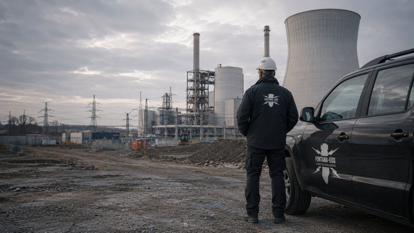
For ground works at an airport, the survey area needed must be accessible on the agreed date. FONTANA-EOD checks with you which explosive ordnance documents cover the planned intervention and where further surveys are needed. At the same time, the operator and project management clarify access authorisation, available routes and work times.
Distinguish landside and airside.
Coordinate personnel, equipment and routes.
Record the surveyed area for site management.
At airports in Germany, cable trenches by a cargo building, drainage channels and foundations may have different access conditions depending on their location. First describe the specific location within the airport site. Under § 10 LuftSiG, access to airside areas and security restricted areas without authorisation is prohibited. The necessary access authorisation is agreed separately with the operator before deployment.
The scope of work for “Cologne – airport Cologne / Germany” included downhole magnetometry.
Service period: 2026-06
Service areas:Downhole magnetometry / deep-ground survey
View project details · Deep-ground and downhole surveys · Project location: Köln
The scope of work for “Luxtram Section E – Luxexpo to Findel Airport Luxembourg; Findel / Luxembourg · Luxembourg” included downhole magnetometry.
Service period: 2025-03
Service areas:Downhole magnetometry / deep-ground survey
View project details · Deep-ground and downhole surveys · Region: Luxembourg
The scope of work for “Luxembourg; Findel – Luxtram Section E – Luxexpo to Findel Airport Luxembourg; Findel / Luxembourg · Luxembourg” included ground-penetrating radar surveys.
Service period: 2025-03
Service areas:Surface surveys: GPR, TDEM and magnetometryMethod used in this project: Ground-penetrating radar
View project details · GPR and limitations · Region: Luxembourg

For planning, the actual ground interventions by the cargo building, access road or technical services area are marked on the plan. Include depth, reference level and the intended construction sequence. A general description as an airport construction site leaves important differences unclear. FONTANA-EOD relates existing findings to the specific construction task and clarifies which technical question still needs to be addressed for the affected section.
Select services for ground works at the sitePaved areas, utilities, installations and neighbouring facilities form part of technical survey preparation. Identify known access restrictions and provide available existing asset records. The suitable approach for the specific ground intervention is derived from these. A short work window does not itself change the technical prerequisites. If the task cannot be completed within it, the remaining scope is explicitly agreed.
Coordinate methods with existing installations and work windows
An earlier survey report may provide important baseline information where its spatial reference and assessment are known. Compare the previous areas and depths with the new plan. Connection pits or laterally relocated routes may lie outside the previous scope. Documents are therefore considered in full with their attachments. Proximity to an area already addressed does not replace this technical comparison.
Check earlier results against the construction planAn extension of a cargo area may involve different ground interventions for foundations, ramps, drainage and access roads. Show these tasks together even where contracts are awarded separately. The transition between the building and paved external area matters for spatial comparison. Existing documents are assigned to each area. Subsequent use as a connected loading zone does not mean that all planned ground works have already been surveyed.
Clarify survey tasks for cargo buildings and loading zones
Cable trenches, chambers and connections are described along their entire alignment. Where several operational areas are involved, changes in responsibilities or access prerequisites must be shown. Even short connections between known installations may affect new volumes of ground. Utility information and operational status details are provided separately. The explosive ordnance assessment addresses its own technical question and is brought together with these documents for subsequent construction.
Relate utility lines to the construction sequenceFor renewal of traffic areas, the surface, sub-base and local deeper interventions are distinguished. A channel or new chamber may extend deeper than the general surface removal. Add these locations to the plan and state the intended working depths. The survey relates to the actual construction task. A blanket area description would obscure precisely these differences in the sequence and required survey scope.
Select methods for traffic areas and local deeper interventions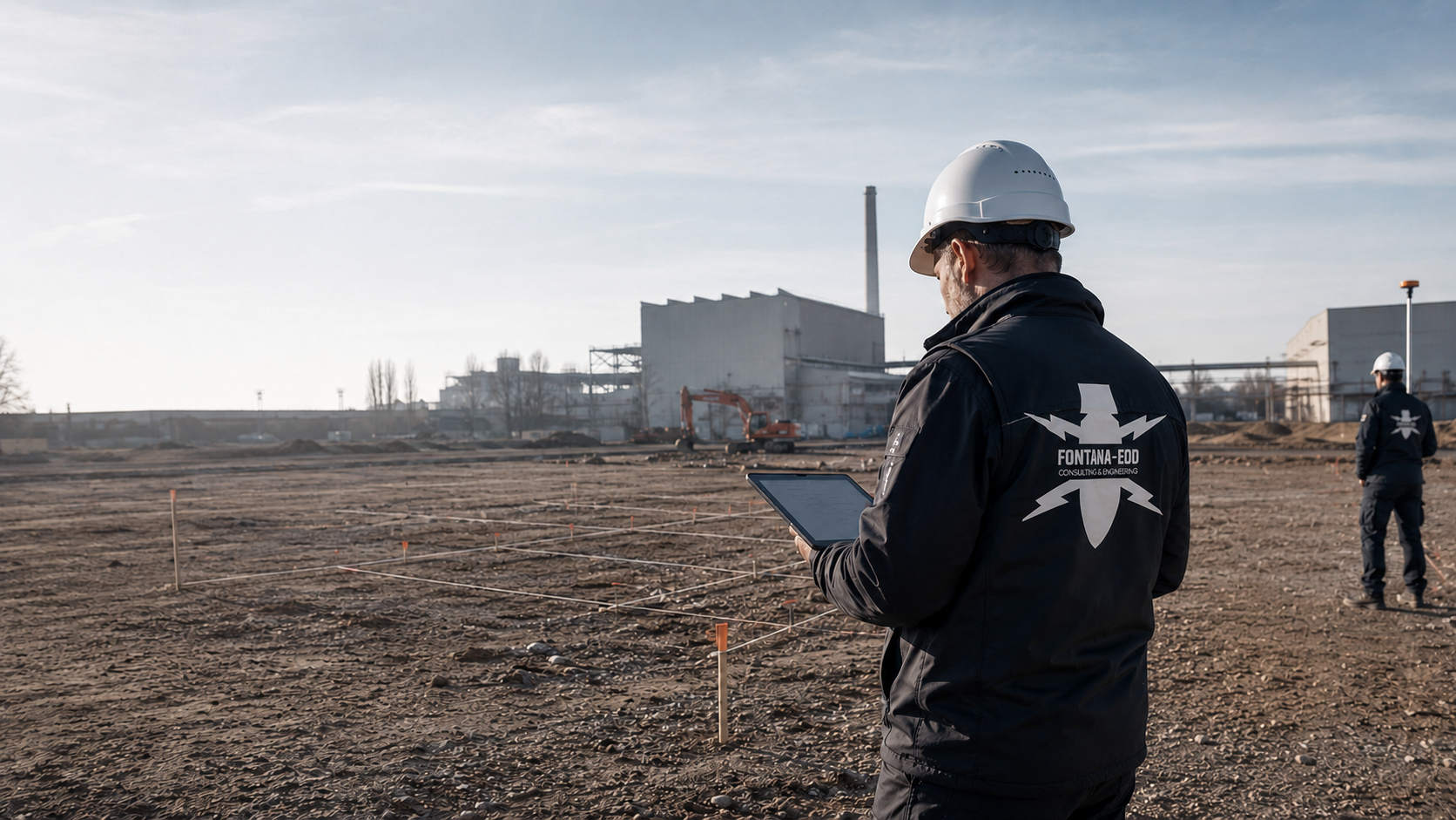
A logistics area near an airport may have different organisational conditions from an area within a secured airport zone. Describe the specific location and actual access arrangements. Association with an airport does not replace this clarification. Location, ground works, documents and accessible work areas remain decisive for specialist work. Operator requirements relate only to the areas where they actually apply.
Assess logistics areas as a commercial construction taskMark the construction section and identify the affected facility. The enquiry should show whether special access conditions apply and who can explain them. An airport name alone is insufficient to prepare the specific work area.
State which layers will be removed and which components will be built. Different depths and connections are marked on the plan. This allows existing documentation to be compared specifically with the proposed construction.
State the intended construction phases and work windows already agreed. Provisional dates remain identified as provisional. The specialist contractor can then clarify how the required scope can be prepared and carried out under these conditions.
Show whether work on existing installations, new service connections or additional components is planned. Even a small intervention needs a clear location and depth. Check whether existing reports actually cover the location and depth of the planned work. Results from another construction section do not automatically apply.
Identify the affected area and responsible operator contact. Before deployment, clarify the requirements for personnel, equipment and vehicles. Access coordination establishes how personnel and equipment reach the area. Suspected hazards and survey conditions are additionally assessed by specialists.
Mark construction access roads and additional work areas where ground works are planned. An initially proposed access route may change during construction. Add changed routes to the plan. For additional ground works, we assess whether existing survey results are sufficient.
A current plan shows boundaries, depths and connections to neighbouring construction sections. Alternatives are marked separately. This keeps clear which specific construction design forms the basis for technical coordination.
Earlier reports are sent with their attachments and the design revision applicable at the time. Known limitations are retained. A shortened summary should not obscure the spatial boundaries of existing findings.
The responsible contact provides access information applicable to this area. Known requirements for personnel, vehicles and working hours are checked against the proposed activity. Outstanding organisational points are assigned a named contact.
Assign the survey to a clearly identified design revision. The report shows areas surveyed, outstanding areas and limitations applying to the results. Further agreed steps are recorded. This is particularly helpful where several short work phases follow one another or different companies work at the same interfaces. Necessary follow-up surveys or exposures are assigned to the affected area. Recovery of confirmed explosive ordnance is coordinated with the permitted scope of activity, local responsibilities and documentation. After actual exposure or clearance work, the corresponding findings and clearance records are included.
Retain access authorisations and technical survey reports according to their respective purposes. Access authorisations and survey reports are maintained as separate documents for access organisation and the status of explosive ordnance surveys. Aviation operational decisions are made by the respective responsible authorities. For later modifications, it is assessed whether existing reports cover the new ground works spatially and at depth.
Technical foundations: BFR KMR: Clearance planning and clearance concept – introduction · BFR KMR: Geophysics · BFR KMR: Documentation · § 10 LuftSiG: Access authorisation · Fraport: Questions about airport passes · § 8 ArbSchG: cooperation between employers · DGUV: Explosive ordnance clearance FAQ
The Baufachliche Richtlinien Kampfmittelräumung contain requirements for historical and technical investigation, clearance concepts, procurement and documentation within their defined federal remit. Their application to the specific airport construction project, together with local requirements and responsibilities, is clarified separately.
Project management and the operator check the planned ground intervention against usable routes and work zones. State the progress of necessary access coordination and identify a contact who can answer outstanding organisational questions.
Where employees of several employers work at the same workplace in Germany, employers must cooperate on occupational safety under § 8 ArbSchG. Depending on the activity, this includes informing each other of hazards and coordinating protective measures. Responsibilities and reporting procedures must be known for the survey. The need to separate work areas temporarily or divert routes is coordinated with the operator.
Existing reports and historical evidence are assigned to the ground intervention. Ground conditions, utilities, paved surfaces and accessible areas determine the suitable technical survey. Methods, occupational safety and any necessary preparatory works are agreed with the operator and site management before implementation.
The commissioned survey is carried out in the agreed work areas. Survey data, findings and limitations are recorded with location, depth and design references.
Data and findings receive specialist interpretation. Unresolved areas, follow-up investigation and the next decision are identified for operators, designers and site management.
Hand over the documented work status to those responsible for the next construction section. The explosive ordnance assessment applies within its described scope. The operational decision to use an area and any other necessary authorisations remain with the respective responsible parties.
Compile existing explosive ordnance reports, current design revisions and existing asset information before agreeing a date. This allows a review of outstanding questions and work areas that need to be reached. The length of an available work window alone does not determine a suitable survey method.
Paving, reinforcement, utilities and neighbouring technical installations can affect Survey conditions. The intended construction stage must therefore be known. Whether a Surface survey is suitable under these conditions is assessed by specialists. A survey before dismantling may allow a different assessment from one after certain installations are removed; each scope must be defined technically. Necessary surveys and protective measures are planned before ground intervention during vegetation clearance, dismantling, surface breaking or creation of access roads and work areas. Areas accessible later are surveyed before the respective subsequent interventions.
If operations prevent access to an area or the area cannot be assessed adequately, this status is identified. The report states the areas actually surveyed and the limits of data evaluation, even where the available work window was shorter than planned. Project planning can identify whether a supplementary survey or another agreed approach is necessary.
The survey is prepared for the actual ground works and coordinated with operational access. The ground intervention area, depth and conditions under which surveying and evaluation can take place remain decisive.
Historical aerial photograph assessment and other old records help place the basis for suspicion in its spatial context. The available images, their evidential value and the limits of the area considered matter. The absence of an identifiable indication must be distinguished from a technically surveyed ground area. The assessment is considered together with the planned intervention and other available findings. It can support the choice of a survey, but is not a measurement of the present-day subsurface or confirmation for all future works.
Understand aerial photograph assessmentMagnetometric methods detect magnetic anomalies. Whether they can address the specific survey task depends, among other things, on the expected objects, ground conditions, interference and required survey area. Fences, utilities or existing structures may affect interpretation. A measurement signal is therefore not described as ordnance solely because of its strength. Method, interpretation and any further investigation are planned as a connected specialist task.
Understand the scope of magnetometryElectromagnetic surveys may be suitable for particular metallic targets and site conditions. TDEM detects the time-dependent electromagnetic responses of electrically conductive bodies. Suitability is justified for the particular task, not inferred merely from the availability of equipment. Interfering installations, accessible areas and the required conclusion must also be considered. Results are documented with location and survey conditions. Whether a complementary method is needed follows from the specialist assessment and remains a specific project decision.
Understand electromagnetic surveyingUnder suitable conditions, ground-penetrating radar can provide information about subsurface structures and reflections. Ground conditions, moisture, installations and the particular survey task affect interpretability. An anomaly is not automatically ordnance, and an area with no apparent anomalies is not general evidence for arbitrary depths. The specialist interpretation and its limits are documented with the instruction. A survey for another purpose is not adopted without checking as ordnance evidence.
GPR and limitationsFor deeper ground interventions, it may be necessary to assess whether surveying from the surface can provide the required assessment or a different approach is needed. For individual foundation or chamber locations, the ground volume to be assessed and achievable survey coverage are compared before a borehole grid is defined. Necessary surveys and protective measures are defined before boreholes are created. Location, depth, borehole arrangement and existing utilities then form part of preparation. Creating survey access must also be planned using a technically suitable approach. A general depth figure or standard grid does not replace this task. Results remain limited to the areas actually addressed and the method used. For surveys from investigation boreholes, casing, drilling depth and documentation are also coordinated with the task and site conditions.
Prepare deep interventionsIf a necessary preliminary survey cannot be completed in full, the suitability of a technically planned approach during construction is assessed. Each working layer is technically surveyed and evaluated before controlled removal in layers with supplementary visual inspection follows. The steps are repeated to the agreed excavation formation. Excavation layers, stop signal, authority to give instructions, reporting channels and documentation are agreed with site management and specialists before work starts. Pure visual observation of the excavation cannot simply replace a necessary instrumental survey. Site management needs a clear description of when specialist works take place, how new findings are handled and which areas remain outstanding.
Agree the approach during constructionFONTANA-EOD coordinates survey scope with construction documents and available working conditions. This includes the specific area, technical task and accessible work windows. A task description brings these details together. During preparation, outstanding points are assigned to the responsible parties. This makes it traceable which activity was agreed and which area the documented result concerns.
Discuss the investigation taskThe operator's project contact explains the site-specific requirements for personnel, vehicles and escorting where applicable. This information is coordinated with the intended activity in good time. Access authorisation is agreed separately with the operator. Missing documents or organisational prerequisites are taken into account in the sequence. Access documents and necessary organisational decisions are clarified before the survey day.
The specialist contractor needs a clear description of the accessible area. Neighbouring facilities and their operational conditions are explained by those responsible. It remains clear which information is confirmed and which still needs clarification. Preparation links this information to the planned ground works. Feasibility is clarified for each section using its accessibility and actual survey conditions.
If changed operating conditions prevent an agreed activity from taking place within the intended scope, the status achieved is recorded. Areas already addressed and those still outstanding remain distinguishable. Access and working conditions are agreed again before work continues. A short available period is not treated as a replacement for a technically necessary work step. The documentation reflects the work actually carried out.
For several construction phases, each section receives a traceable reference to the report and plan attachments. Site management can identify the assessment available for the next specific work. Outstanding connections or areas remain identified. A summary handover is not separated from its spatial attachments. For later changes, the same set of documents is compared with the new ground intervention and supplemented technically where needed.
At an early stage, possible routes, extensions or connection areas can be considered alongside one another. Explicitly identify options and depths still uncertain. Existing findings are initially assigned to these possible ground interventions. Technical coordination can clarify the information missing for the next planning decision. A defined survey scope then follows from the specific selected construction task and accessible conditions.
For a traceable specification, construction boundaries, depths and operational prerequisites are shown together. Provide complete existing specialist reports. State known access preparation requirements and the operator's responsible contact. This information helps relate tenders to the same task. Outstanding prerequisites should not appear as confirmed conditions, since they may cause later changes in implementation.
The planned sequence considers both the construction task and the actual availability of the area. Before work begins, the activity intended for each area and the person reporting operational changes are clarified. A work window is an organisational constraint. Whether the technical task can be completed within it is assessed separately. Where departures occur, the status achieved and further work requirements remain traceable.
If an additional chamber or relocated utility is planned later, the comparison begins with the new plan and previous result documents. A completed construction section may contain findings that remain useful without covering every additional activity. The specific location and depth determine applicability. Earlier documentation is retained; necessary supplementary work is described as a separate technical scope.

In addition to the airport name, state the building, area designation and intended access route. A site plan links these details to the actual work area. For an external logistics site, its own operational address is decisive. The regional overview helps locate the site. The specific access prerequisites of the respective operator are clarified directly for the planned deployment.
Existing authority information, operator conditions and requirements already agreed are provided with their scope. Check whether the documents concern the same area and activity. Requirements from another airport area are not applied merely because they concern the same site. Outstanding responsibilities are assigned before work begins. This provides the specialist contractor and site management with a shared basis for preparation.
Organisational details are clarified with the respective operator. For Frankfurt, for example, Fraport explains separate requirements for airport passes, vehicle passes and training. For other airports, applicable requirements are clarified with the respective operator. For a logistics area outside such zones, its actual operating conditions are decisive.
Access documents organise entry and vehicle access to the respective area. The survey report instead describes the explosive ordnance specialist work carried out and its spatial extent. Both documents are needed for the project but serve different purposes. For a planned construction phase, the responsible contacts and associated documents should therefore be available. Organisational access alone does not mean an area is treated as fully surveyed.
Explore results and terminologyA report is read together with its attachments and the underlying construction plan. The planned work must be assignable to the described area and depth. Changes to a utility route or foundation require this comparison again. A short results statement cannot replace the spatial scope. Unclear boundaries are clarified before the assessment is used for a different construction activity.
Link the results plan and construction traceablyThe enquiry can begin with a specific construction task even if no survey method has been selected. State existing findings and the assessment needed for the next project decision. The service overview explains different specialist activities. FONTANA-EOD agrees a suitable scope on this basis. Site conditions and access prerequisites are considered together with the technical task.
Select suitable survey servicesThe design describes components and the location and depth of planned works. Changes from the previous revision are clearly marked. This provides the specialist contractor with a reliable basis for comparison with existing results.
Operations explain accessibility and organisational prerequisites for the specific area. Coordination considers the activities actually planned and the parties involved. Specific access conditions are agreed with the operator for each survey section.
FONTANA-EOD addresses the agreed explosive ordnance question and assigns the result to the scope carried out. The report remains linked to its spatial attachments. Further technical and operational decisions are made by the respective responsible parties.
In Germany, state ordnance disposal services and locally competent authorities carry out hazard response and find management. Their involvement and public-order or building-control tasks are established for the project location. Outside Germany, local responsibilities apply. Contacts, requirements and reporting are assigned to the specific works.
In Germany, a possible ordnance find is reported immediately to the police on 110. Authorities arrange hazard response and involve the public ordnance disposal service under local procedures. Outside Germany, the local emergency procedure applies. Operating processes and private specialist work are assigned separately in project organisation.
The responsible operator department explains access and operational coordination conditions. The project contact brings this information together with construction planning. Changes to access or work windows are communicated in good time. Necessary organisational decisions remain with the responsible parties. This gives the explosive ordnance specialist contractor the framework within which its specifically agreed task can be prepared and carried out.
The client or its designers describe ground interventions and depths. Contractors receive documents relevant to their work through site management. A different design revision is compared with the existing technical assessment before the affected ground intervention. This also applies to changes at short notice within a narrow work window. The available time does not replace the necessary technical comparison.
FONTANA-EOD documents the agreed explosive ordnance work actually carried out. Other operational or technical assessments are assigned to their respective responsible parties. For further construction planning, these documents are brought together with their respective technical subjects and responsibilities. Outstanding areas remain identifiable. This allows the next project decision to relate to the technical status achieved and the operational prerequisites actually available.
In Germany, requirements for permits, competence and responsibility for the proposed activities are clarified under the Explosives Act and the 1. SprengV. § 7 SprengG concerns the commercial permit for activities requiring a permit; § 20 SprengG concerns the certificate of competence for responsible individuals. Under § 1b SprengG, searching for unexploded ordnance also constitutes handling. The DGUV Information 201-027 supports activity-specific risk assessment. The DGUV Rule 113-003 is considered for relevant activities according to its subject of dismantling or destroying explosives or corresponding articles and disposing of unexploded ordnance. The BFR KMR contain requirements within their defined federal remit; their application to the specific airport construction project and site-specific requirements are coordinated with the responsible authorities.

Existing aerial photographs, older plans and earlier assessments are provided with their spatial references. Airport grounds and neighbouring uses may have changed over time. Known differences from the current plan are identified. Specialist evaluation assesses this information. An individual image extract is not used as a comprehensive assessment of all current construction areas or their differing ground intervention depths.
Explore the historical basisPhotographs can illustrate paving, installations and site accessibility. Taking and sharing them is coordinated with site conditions. Mark the photographed area on the site plan. Images supplement preparation but do not alone provide an assessment of the ground. Planned ground works and existing technical documents remain decisive for the survey scope.
Understand documentationThe report and site plan are retained together so that later users can trace the work actually carried out. Areas not addressed and limitations remain identifiable. A later construction phase is compared with this documented status. This link is particularly useful where several work windows or separate contracts relate to the same airport project and cover different areas.
Documenting results clearly

Airport projects may combine utilities, buildings, traffic areas and external logistics. The critical infrastructure overview helps assign these tasks. Each ground intervention remains decisive for the explosive ordnance assessment. A shared project organisation does not replace a precise description of individual work areas. Their access arrangements, existing findings and required results documents are therefore distinguished traceably.
Assess critical infrastructure requirementsThe service overview supports coordination where different preparation, surveying and documentation tasks come together. Send the current plan and existing reports before a specific scope is defined. These reveal outstanding questions. Subsequent work and the required results documentation relate to the section actually accessible and its survey task.
Compare servicesTechnical information
Work at critical infrastructure requires careful coordination with operations and construction design. The brochure explains preparation, suitable investigations and traceable result documentation.

Requirements depend on the actual location and access zone. Proximity to an airport alone does not answer this question. In Germany, § 10 LuftSiG prohibits access to airside areas and security restricted areas without authorisation.
Clarify the operator contact, access and available work area before agreeing the date. The operator specifies which documents, authorisations or briefings are required for the affected area.
The existing report must be checked against the location, depth and nature of the new ground intervention. A neighbouring survey does not automatically cover the newly planned underground volume. Unsurveyed interfaces must remain identifiable.
According to the DGUV, simply observing excavation visually does not constitute explosive ordnance surveying during construction. The suitable approach is assessed using the task and survey conditions. A short work window alone does not determine the method.
The report addresses the agreed explosive ordnance survey subject, including its area, depth, service scope and assessment limitations. Assessment of operational safety and any necessary aviation law decisions remain the responsibility of the respective authorities and responsible parties.
Costs depend on the area, intervention depth, ground build-up, paving and installations, possible interference sources, existing findings and the suitable survey method. Access organisation, required escorting and available work windows affect the sequence. Costing covers the service scope agreed for the specific construction section, including necessary evaluation and documentation.
The report and site plan distinguish the work carried out from outstanding areas. Access and working conditions are agreed again before work continues. This provides site management with a traceable status for the next construction phase.
If an unexpected suspicious object is found, stop work in the affected area immediately. Do not touch, move or uncover it further. Leave the immediate area, keep your distance and keep others away without putting yourself at risk. In Germany, notify the police immediately on 110; outside Germany, use the local emergency procedure. The authorities determine what happens next. Inform the operator, site management and the client; internal reporting must not delay the emergency call.
Send the site plan, ground intervention dimensions and planned ground works with depths and reference levels. Include existing explosive ordnance documents and complete survey reports with their attachments.
Identify the operator contact, period and available work area. State whether the section is in a restricted access zone and which requirements apply to personnel, vehicles, equipment and access authorisations. Necessary authorisations and any escorting or briefings are agreed separately with the operator. We use this information to discuss survey requirements and deployment preparation.

Whether historical aerial photograph analysis, explosive ordnance surveying, surface surveying using GPR, magnetometry or TDEM, deep-ground surveys, downhole surveys, excavation supervision, area clearance or ordnance recovery is needed depends on the location, ground disturbance, depth, ground and existing documents. An early ordnance assessment provides clarity for tendering, programming, occupational safety and construction.
FONTANA-EOD combines its Section 7 SprengG licence, specialists holding Section 20 SprengG certificates of competence, suitable survey and clearance methods, and traceable documentation. Send the site plan, depth of ground disturbance, construction phase and existing documents for an initial technical assessment.


