Project pathway
The quickest route to the right decision.
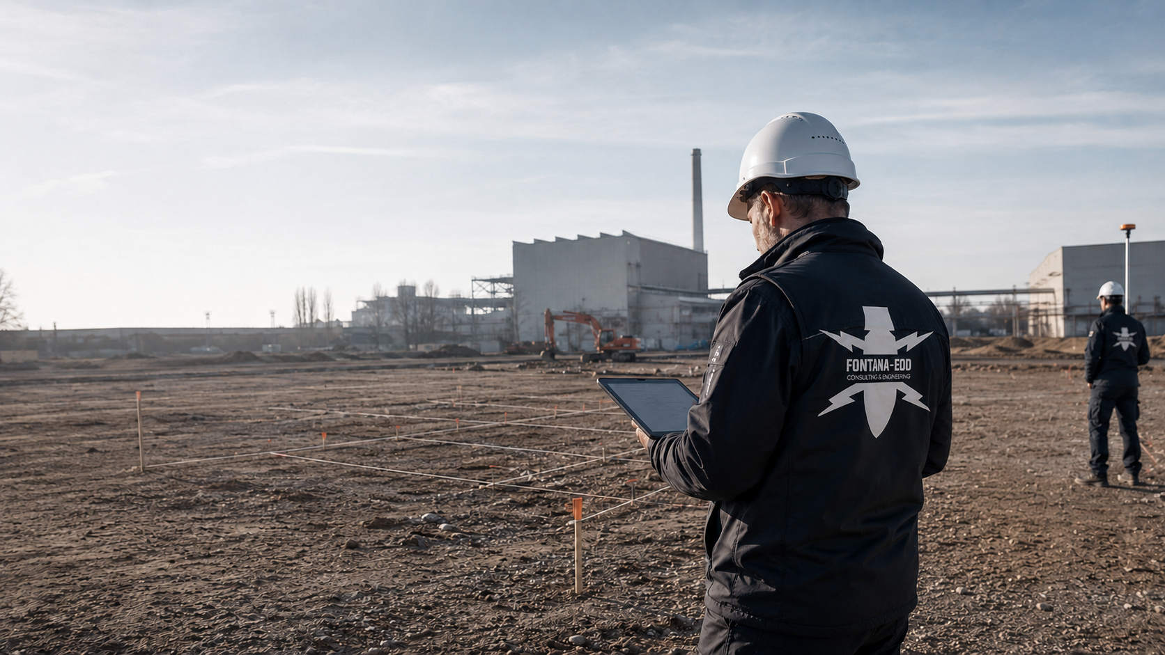
Assign investigation results to the individual occupier plots, shared roads and utility supplies of the business park. FONTANA-EOD reviews existing documents and plans surveys for the respective areas, depths, connections and construction sections. Send the park and plot plans, intended interventions, design depths and operational windows so that investigations and documentation can be coordinated before procurement or civil engineering works.
Clarify the construction site and use.
Coordinate utilities and axes.
Plan survey work in good time.
Explosive ordnance surveys for business parks become relevant as soon as new plots, buildings, utility axes, roads, chambers, retention areas or extensions affect subareas that have not yet been reliably assessed. The suspected hazard, depth of intervention, existing utilities, interfering objects, occupier operations and intended purpose of the documentation are decisive. FONTANA-EOD assesses this information so that technical investigation, construction sequence and documentation align.
The scope of services for “Düsseldorf-Reisholz business park, North Rhine-Westphalia” included construction-phase monitoring.
Service period: –
Service areas:Ordnance specialist supervision of groundworks
The client, designers, site management and specialist company relate investigations to the same plots, site servicing axes and depths of intervention.
For business parks, technical assessment starts with the site plan, construction site boundaries, planned use, existing suspected hazard documents and the question of which interventions will actually be carried out. These documents guide whether historical assessment, a technical survey or monitoring during construction is the most appropriate initial approach.
Select suitable specialist services according to the starting conditionsThe investigation area must suit the planned construction activity. Near-surface earthworks, deep boreholes, chambers, retaining structure axes, utility trenches or foundations may require different documentation. A blanket assessment of the entire site is often insufficient for business parks.
Compare methods with the area, depth and construction sectionExisting utilities, old foundations, reinforcement, scrap metal, fill, operational installations and surfaced areas influence which methods can provide meaningful results. These factors belong in the project description before method selection.
Coordinate method selection with existing technical installationsFor areas with limited preliminary investigation, the technical suitability of construction-phase ordnance surveying is assessed. Each working layer is technically surveyed and assessed before controlled layer-by-layer removal with supplementary visual inspection. The steps are repeated down to the agreed excavation bottom. Excavation layers, stop signals, authority to give instructions, reporting procedures and documentation are agreed with site management and safety officers before work begins.
Plan excavation monitoringBusiness parks require documentation that makes the investigation area, method, conditions, assessment of results and subsequent decision traceable. It must suit the project phase and be usable for the client, designers, site management and relevant interfaces.
Prepare evidenceInvestigation methods and achievable depth depend on the suspected hazard, planned intervention and survey conditions. The service pages explain the individual methods.
Compare investigation methods and limitationsThe starting conditions determine whether a document review, survey, excavation supervision or a combination is technically appropriate.
Business parks often comprise several building plots, existing buildings, extension areas and subsequent tenant requirements. Each subarea may involve different interventions, time windows and documentation purposes.
Roads, drainage, electricity, water, telecommunications, charging infrastructure and heat supply often run in shared corridors. For interventions along these routes, investigation needs are checked against the suspected hazard and existing information before civil engineering work and drilling.
Ground interventions for foundations, yards, drainage and storage areas may differ in shape and depth. The investigation plan records area-wide, localised and linear volumes of ground affected.
In existing business parks, construction often takes place alongside occupiers, logistics, visitor access and safety installations. Investigation areas, exclusion areas and communication are therefore incorporated into the operational organisation. Necessary investigations and protective measures are planned before ground interventions during demolition, breaking out, utility exposure or construction of site roads and working areas.
Before new ground interventions, existing information, unresolved investigation questions and the next construction section are checked against each other.

The construction site, utility connections, foundations and access for a new plot are assessed by specialists before procurement and civil engineering works.
Have your plot assessed
Roads, utility trenches, chambers and drainage structures are recorded with positions and depths in the investigation plan. Results are assigned to the respective sections.
Determine suitable methods for site servicing routesFor alterations and extensions, existing utilities, usable access roads and ongoing operations are considered in the investigation.
Have existing conditions assessed by specialists
For areas that cannot be adequately investigated in advance, the suitability of explosive ordnance detection during construction is assessed. Technical investigation and assessment of each working layer precede controlled removal; results and limitations are documented for each construction section.
Plan excavation
For tendering and subcontractor coordination, investigation areas, methods, the purpose of the documentation and interfaces are described precisely.
Prepare evidenceIf the business park forms part of a larger area, external site servicing, construction sections and adjoining areas are considered together.
Assess the commercial areaTypical project decisions arise before work reaches the site. They should be clarified before procurement, construction programming and intervention in existing areas.
For business parks, an early assessment can help establish the suspected hazard, documents needed and possible investigation steps before contractual, planning or investment decisions.
Clarify the project circumstances earlyService limits, investigation areas, construction phases and documentation requirements should be described before procurement so that tenders can be compared and construction sequences planned.
Prepare evidence for procurementGround investigation boreholes, pile axes, explosive ordnance investigation boreholes or investigation points need clear position and depth references.
Agree borehole positionsExcavations, utility trenches, chambers, foundation excavations and earth shaping should be checked against the suspected hazard, investigation limits and procedures for findings.
Determine investigation needs for excavation and civil engineeringElectricity, gas, water, wastewater, communications, district heating and process utilities influence access, survey work and occupational safety. These routes are considered in planning.
Survey anomalies are assessed by specialists using the survey data and assigned to a follow-up investigation. If an unexpected suspicious object is found, stop work in the affected area immediately. Do not touch, move or further expose the object. Leave the immediate area and keep others away without putting yourself at risk. In Germany, notify the police immediately on 110; outside Germany, use the local emergency reporting procedure. The competent authorities determine the next steps. Inform site management and the client; internal reporting must not delay the emergency call.
Business parks need spatial and organisational separation of investigation areas. Only then can conclusions be usable for site management, park management and occupiers.
For business parks, the first step is to clarify whether the assessment is needed before acquisition, planning, procurement, demolition, drilling, excavation or construction. The project phase determines the documents, level of detail and subsequent decision.
Assess the project phaseThe entire site does not automatically require the same approach. Construction sites, utility axes, drilling points, traffic areas, excavations and peripheral areas are distinguished according to planned depth of intervention and access.
Historical documents, aerial photograph assessments, existing reports, previous use and known authority conditions help describe indications of a suspected hazard traceably and prepare targeted technical investigations.
Assess the suspected hazardSurface survey, deep-ground survey, borehole survey or ordnance specialist supervision of excavation are not selected mechanically. Ground conditions, interference, depth, surface and construction sequence are decisive.
Agree the methodSurvey work and supervision must be coordinated with access, exclusion areas, time windows, occupational safety, utility protection and site management. This avoids unclear handovers during the project.
The purpose of the documentation should be stated in advance: procurement, project file, HSE, site management, operator communication, coordination with authorities or the subsequent decision for the next construction section.
Clarify the purpose of the documentationFor each construction section, investigation limits, documents used, method selection and results are recorded. Site management, park management and occupiers receive the relevant investigation status.
The surface, vegetation, sealed areas, moisture, interfering objects, utilities and metal installations are described so that subsequent conclusions can be placed in their technical context.
The investigation is integrated into the sequence so that necessary areas are accessible in time and subsequent trades receive a traceable handover.
Different subareas may require different methods or conclusions. A differentiated assessment prevents results from being transferred to areas that have not been investigated.
Reporting procedures, site communication and further measures must be prepared for anomalies or suspected hazards. This supports site management and those responsible for safety.
Designers, site management, the operator, HSE, civil engineering teams, environmental consultants and competent authorities need consistent documents. A common data basis facilitates coordination.
Reports should clearly present the location reference, investigation area, method, conditions, result and subsequent decision so that they can be used in procurement and site management.
The technical suitability of a survey depends on the surface, interference environment, utilities, depth, access and operational organisation.
Asphalt, concrete, aggregate, vegetation, storage areas and demolition conditions influence whether a surface survey is possible and can provide meaningful results.
The design depth follows from the foundation, borehole, retaining structure, chamber, utility trench or excavation. Without a depth reference, the conclusion remains too imprecise.
Metal remnants, reinforcement, utilities, scrap metal, old foundations and operational installations can obscure survey signals and must be identified in the assessment.
Exclusion areas, ongoing operations, vegetation, traffic, demolition equipment and stored materials determine when and how investigation areas can be entered safely.
Survey data and findings must be related to the site plan, coordinates, construction site boundaries and construction sections so that they remain usable in the project file.
Utility clearances, occupational safety, site management, environmental reports, administrative procedures and subcontractors must be coordinated with the explosive ordnance service.
Documentation must show which area was investigated, what conditions applied and which subsequent decision is possible for the next construction section.
The site plan, construction section, suspected hazard documents, aerial photograph assessment, ground investigation data, utility plans and as-built plans form the basis of the technical assessment.
Have your documents reviewedThe investigated area is described by its location reference, boundaries, access, surface and planned depth of intervention. This prevents unclear application of results to other areas.
The methods used, survey conditions, interference and limits of the conclusions are documented so that the assessment remains technically traceable.
Anomalies, findings or limited scope for conclusions are described together with the subsequent decision. Reassessment, supervision or further coordination may follow.
For site management and safety coordination, clear working areas, reporting procedures, handovers and documents that can be incorporated into the construction sequence matter.
The project file needs traceable documents for the client, designers, construction teams and relevant interfaces. The extent depends on the service and project phase. Following actual exposure or clearance work, the corresponding findings and clearance records are included.
Agree evidence requirementsA reliable dossier links project documents, technical investigation, assessment of findings and handovers within the construction sequence.
Plans, coordinates, construction site boundaries, sections and intervention zones are brought together so that investigation and construction activity remain clearly linked.
Methods, survey grids, drilling points, supervision areas, access, surface and conditions are described so that the conclusions can be checked.
The assessment classifies findings, anomalies, limitations and the next technical step. This provides a reliable basis for a project decision.
The client, designers, HSE, site management and construction teams receive documents suited to the relevant decision and construction section.
The sequence leads from document review to technical investigation, documentation and a subsequent decision for the construction section, occupier area or site servicing route.
The location, area, contacts, construction objective, depth of intervention and existing documents are recorded.
Site plans, aerial photograph assessments, historical documents, utility plans and construction phases are organised for technical review.
Construction sites, utility axes, drilling points, excavations and peripheral areas are described separately.
Surface survey, deep-ground survey, borehole survey, excavation supervision or combinations are assessed for the specific project.
Access, occupational safety, exclusion areas, survey conditions and the construction sequence are taken into account on site.
Survey data, findings, interference and limits of the conclusions are evaluated by specialists.
The report, location references, photographic records and subsequent decision are prepared for the project file and site management.
The results are taken forward into procurement, excavation, drilling, demolition or further coordination.
In business parks, open new construction areas, surfaced yards, existing areas and utility axes differ considerably. These differences determine the limits of the conclusions.
Business parks bring together properties, occupiers, buildings, access roads, utilities and construction phases. A specialist survey must take this structure into account.
A business park is rarely a uniform construction site. New buildings, roads, property connections, fire-fighting water facilities, drainage, charging infrastructure and extension areas may be planned simultaneously while existing occupiers continue operations. For explosive ordnance surveys, this means investigation areas must be defined to suit the actual construction activity. One area may permit a near-surface survey, while a neighbouring utility route requires a different assessment because of metal interference, existing utilities or surfacing. Deep interventions at column axes, drilling points or chambers also need their own design depth information. FONTANA-EOD brings these conditions together so that subsequent documentation identifies more than the site: it traceably describes the investigated area, method applied, conditions and next project decision.
Car parks, building footprints, demolition zones, utility axes, green spaces and traffic areas may require different methods.
Drilling points, chambers, foundations, infiltration trenches, retaining structure axes and utility trenches must be described with their planned depths.
Asphalt, concrete, reinforcement and substructure influence survey feasibility and access. A different investigation or supervision approach is selected where necessary.
Existing utilities are both safety factors and sources of interference. Utility protection and explosive ordnance assessment are therefore considered together.
The timing of the investigation must suit demolition, site preparation, survey work, earthworks and subsequent trades.
Every conclusion relates to the investigation area described, the method applied and the conditions documented.
Existing results are organised by plot, investigated depth and plan version. Building foundations, occupier adaptations and extensions are compared against them. Documentation for one construction section is reused only insofar as it actually covers the planned intervention.
Check documentation against subareas and construction projectsPark roads, utility axes, chambers and retention areas may connect several occupier areas. They receive their own position and depth information. Survey conditions, access and construction conditions determine which methods suit the respective infrastructure sections.
Select suitable methods for shared infrastructureInvestigation planning requires the area, depth of intervention, construction phase, survey conditions and documentation needed.
In business parks, construction sites, access roads, utility axes, drilling points, excavations, external works and later extension areas should not be grouped indiscriminately. Each subarea has its own conditions: surface, ground, interfering objects, planned depth, access and intended purpose of the documentation. This distinction helps relate technical conclusions precisely to the actual intervention and avoid later misunderstandings between designers, procurement and site management.
Define subareas in technical termsFor business parks, stating the project area alone is insufficient. The decisive question is whether near-surface earthworks, utility trenches, deep foundations, driving or drilling points, chambers, retaining structure axes or deep excavations are planned. Design depth, investigation objective, ground conditions and sources of interference together determine which historical or technical investigations and, where applicable, methods during construction are needed.
Select methods according to the actual ground interventionIn business parks, existing utilities, old foundation remnants, surfaced areas, reinforcement, scrap metal, former utility ducts, operational plant or temporary site roads can affect technical surveys. Such conditions should be described in the enquiry rather than first becoming apparent in the field. Method selection can then be realistic, and subsequent documentation clearly identifies where technical limitations existed.
Select a suitable investigation under existing site conditionsMany business park projects proceed in sections: preliminary assessment, demolition, site servicing, structural work, external works, infill development or fit-out. The explosive ordnance assessment must suit this sequence. If a later construction section becomes accessible only after the first intervention, it needs its own technical assessment. Documentation thus remains tied to the construction phase and intervention.
Coordinating construction phasesFor tendering, subcontractor coordination and site management, the area to be investigated, planned depth, existing documents and expected service should be clearly described. For business parks, this preparation prevents unclear service boundaries between ground investigation, civil engineering, explosive ordnance assessment, excavation and documentation.
Prepare procurement documentsAfter an initial assessment, the appropriate next technical step must be clear: aerial photograph assessment, technical survey, supplementary borehole investigation, excavation supervision, assessment of findings or documentation for the project file and site management. For business parks, this subsequent decision is more important than a general assessment of the entire property.
Review the subsequent decisionFor business parks, the technical survey is only one part of the work. The assessment must work together with documents, site management, execution, communication about findings and documentation.
Before technical work, the site plan, land parcels, as-built plans, utility plans, construction phases, planned depths, existing reports, aerial photograph assessment, demolition information and known conditions should be brought together. In business parks, this reduces queries and enables the assessment to focus on the interventions actually affected.
Ground-penetrating radar, magnetometry, TDEM, deep-ground survey, borehole survey, area clearance and ordnance specialist supervision of excavation serve different purposes. One method does not automatically replace another. Selection depends on the survey environment, ground conditions, interfering objects, surface, investigation depth, construction phase and purpose of the documentation.
For business parks, investigation areas, exclusion areas, machinery movements, access roads, safety distances, occupational safety and time windows must be coordinated with site management. The more clearly these points are described before execution, the better explosive ordnance assessment can be integrated into the actual construction sequence.
If unusual findings arise during assessment, survey work or excavation, reporting procedures, contacts, the form of documentation and responsible interfaces must be clear. The site then needs reliable information rather than improvised changes of responsibility. Communication is therefore prepared in advance for the specific project.
Documentation for business parks should remain traceable for the client, designers, HSE, site management and subcontractors. This includes location references, the investigated area, method applied, technical limitations, assessment of findings, photographic records and recommendations for the next project step. The extent of documentation and handovers are agreed before work begins.
Explosive ordnance assessment interfaces with ground investigation, contamination work, civil engineering, demolition, utility installation, occupational safety, approval planning and competent authorities. The private specialist service is technically coordinated with these interfaces. Decisions, reporting procedures and official responsibilities remain clearly distinguished so that the project sequence stays traceable.
The appropriate method follows from the suspected hazard, documents, surface, depth and construction sequence. Methods are combined where a single approach does not cover all project questions.
It assesses previous uses, identifiable indications of a suspected hazard and site history. It does not replace a technical investigation, but can prepare investigation areas in a targeted way.
It is suitable for accessible areas with adequate survey conditions. Sealed surfaces, reinforcement, utilities and metal interference can affect the conclusions.
Magnetometry detects ferromagnetic anomalies in accessible areas. Utilities, reinforcement, foundation remnants, scrap metal and vehicles can obscure survey data in the business park. Areas that can be evaluated and survey limitations are documented separately.
TDEM detects time-dependent electromagnetic responses from conductive objects. The target object, ground conductivity, required depth and technical installations determine suitability for the particular plot or site servicing route.
GPR records reflections at material and structural boundaries and can provide supplementary investigation of utilities or installations. Soil, moisture, surface coupling and reinforcement affect data depth. A reflection does not uniquely identify ordnance.
For deeper interventions, boreholes, piles, chambers or retaining structure axes, it is first assessed whether a suitable surface method adequately covers the required volume of ground. Where coverage is insufficient, a suitable supplementary deep-ground investigation is planned. Position and design depth are related to the actual intervention.
It can be used for defined drilling points or deeper individual areas. Spacing, drilling method, casing and purpose of the documentation must be established.
For areas with limited preliminary investigation, the technical suitability of construction-phase ordnance surveying is assessed. Each working layer is technically surveyed and assessed before controlled layer-by-layer removal with supplementary visual inspection. The steps are repeated down to the agreed excavation bottom. Excavation layers, stop signals, authority to give instructions, reporting procedures and documentation are agreed with site management and safety officers before work begins.
Measurement anomalies receive targeted follow-up investigation or exposure. Recovery of confirmed ordnance is coordinated with the permitted activities, local responsibilities and documentation. If an unexpected suspicious object is found, stopping work, keeping distance and immediate reporting take priority.
Depending on the project stage, the next step leads to document review, survey work, excavation supervision or coordination of documentation.
If it is still unclear whether existing documents are sufficient, the area is assessed using the site plan, history, construction objective and planned interventions.
Assess the suspicion indicatorsOnce the construction site, depth and access are established, the technical investigation can be planned methodically and incorporated into the construction programme.
Compare technical specialist services for the construction siteFor remaining areas, the suitability of explosive ordnance detection during construction is assessed. Technical investigation and assessment of the relevant working layer are included in the construction sequence before controlled removal.
Plan excavation monitoringWhere procurement, site management or HSE need documents, the purpose of the documentation is defined before the service is carried out.
Prepare evidenceIf the site is part of a larger industrial or commercial project, the sector section helps identify adjoining applications.
Open industry and commerceSend park and plot plans, existing investigations and information on the next ground intervention.
Send project documentsThe approach connects technical investigation with the construction sequence, occupier operations, procurement and documentation.
FONTANA-EOD assigns investigations and results to the respective plots, interventions, depths, interference and construction phases. Method selection, execution and documentation are related to these.
Coordinate the approach for the projectThe assessment relates to the specific areas, depths, methods and construction activities of the occupier's project.
Interference, restricted access and technical limitations are documented. Further investigation needs are clarified for unresolved connection areas.
Survey work, demolition, excavation, drilling and subsequent trades are coordinated so that the investigation remains usable within the project.
The documents are maintained so that the client, designers, HSE and site management can trace the investigated scope.
Park management, owners, occupiers, designers, contractors and competent authorities need a common technical basis.
Those responsible provide the project objective, area, construction section, documents and required evidence. They decide which services to commission and which parties to involve in the project.
Designers and project managers translate the construction objective, intervention depth, schedule and procurement requirements into assessable tasks. They need reliable information to integrate ordnance assessment into the bill of quantities, schedule and project file.
Construction teams need clear work areas, documented investigation steps, agreed reporting procedures and safe handovers between surveying, excavation and subsequent trades.
FONTANA-EOD assesses suspicion indicators, methods, investigation depth, construction sequence and evidence for the project. The service remains limited to the commissioned technical investigation, supervision and documentation.
In Germany, the ordnance disposal services of the federal states and the locally competent authorities carry out hazard-response and find-management duties. Their involvement is established for the project location; outside Germany, local responsibilities apply. Private specialist services support project preparation and communication between the parties within the commissioned scope.
The local public order authority and, where applicable, building control are involved according to their project-specific responsibilities. Conditions, contacts and reporting procedures are assigned to the affected plots, site servicing routes and construction sections.
HSE teams, health-and-safety coordinators or safety officers consider investigation areas, exclusion zones, findings procedures and site organisation. Specialist documentation helps incorporate these matters into construction.
Ordnance assessment in construction projects is shaped by responsibilities, occupational safety, specialist knowledge, documentation and interfaces with authorities. The specific assessment depends on the project location, activity and requirements of the parties involved.
The investigation scope and documentation are defined for the respective volumes of ground affected. Requirements for qualifications, occupational safety and reporting procedures are clarified according to the project location and commissioned activity. The Baufachlichen Richtlinien Kampfmittelräumung contain requirements for historical and technical investigation, clearance concepts, procurement and documentation within their defined scope of federal responsibilities. Their application to the specific business park project is clarified separately.
In Germany, § 7 SprengG concerns the commercial authorisation for activities requiring authorisation; § 20 SprengG concerns the certificate of competence of responsible persons. Under § 1b SprengG, searching for found munitions also counts as handling them. The requirements applicable to the project depend on the activity actually commissioned and the allocation of responsibilities.
The First Ordinance to the Explosives Act (1. SprengV) includes requirements concerning specialist competence and state-recognised training courses. In business parks, the required qualifications are related to the specific investigation or clearance assignment and its subareas.
DGUV Information 201-027 concerns protective measures during ordnance clearance work. DGUV Rule 113-003 concerns the dismantling or destruction of explosives or corresponding objects and also includes the disposal of found munitions. It applies according to this field of activity; it does not replace a risk assessment specific to the planned ground intervention.
Work on ordnance and technical ordnance services raise questions of authorisation, competence and responsibility. These are not treated as formalities but incorporated into services, personnel, sequence and documentation.
Risk assessment, site organisation, access areas, reporting procedures and protective measures must match actual execution. Ordnance assessment is therefore part of construction planning, not merely an individual measurement operation.
Reporting, find-management and hazard-response procedures remain with the competent authorities. Clients need to prepare documents, findings and communication so that project interfaces can be handled traceably.
A report describes the investigated scope, methods used, conditions and assessments. It does not replace investigations not carried out and should always be read against the specific construction activity.
Procurement, site management and operator communication need traceable documents clearly showing the area, method, result and follow-on decision.
Agree evidence requirementsIf an unexpected suspicious object is found, stop work in the affected area immediately. Do not touch, move or uncover the object further. Leave the immediate area and keep others away without putting yourself at risk. In Germany, notify the police immediately on 110; outside Germany, use the local emergency reporting procedure. The competent authorities determine what happens next. Inform site management and the client; internal reporting must not delay the emergency call.
Prepare project communicationThe technical service required depends on suspected contamination, surface, depth, interference environment and construction phase. These details should be brought together before commissioning.
Clarify the service scopeThe address, land parcels and affected construction section help assign existing documents and local contacts.

For business parks, the address, land parcels, construction site boundaries and responsible project participants are needed. The region influences interfaces, available documents and coordination procedures.
Check the project regionCompetent authorities, applications and reporting procedures depend on the project location. Existing official information is considered in planning.
Prepare regional assessmentCommercial, residential and site servicing projects connect local construction planning with ground risks. The location alone is usually insufficient for an enquiry; the specific intervention determines the next step.
Arrange specialist assessment of the construction projectExisting documents, technical investigations and results reports are assigned to the affected plot or shared site servicing route.

Assess the suspected hazard and former land-use patterns before planning technical investigations.
Assess aerial photograph analysis
Prepare drilling points, design depth, investigation grid and technical execution for defined interventions.
Coordinate survey workTechnically investigate and assess working layers in suitable areas before removal; coordinate controlled removal, supplementary visual inspection and documentation within the construction sequence.
Arrange excavation supervisionPrepare the project file, site management, procurement and interface communication with reliable documents.
Prepare evidence

Before drilling, excavation and development works, suitable investigations and the evidence needed for each work volume are defined.
Specialist sector for industrial sites, commercial areas, works sites, logistics and former sites.
Open industry and commerceService overview for aerial photograph assessment, surface survey, deep-ground survey, excavation supervision and recovery.
Understand the servicesAssess indications of a suspected hazard, historical use and project documents before technical investigation.
Arrange a suspicion assessmentEstablish the suitability and sequence of construction-phase ordnance surveying for remaining excavation areas.
Agree excavation supervisionPrepare documentation, the project file, sequence and records for the client and site management.
Clarify documentationSend the project location, construction section, depth, documents and intended purpose of the documentation to FONTANA-EOD.
Send project documentsIndustrial and commercial projects need an assessment that brings together construction activity, operations, available documents and the purpose of the documentation rather than treating the site indiscriminately.
For business parks, reliable conclusions require subareas to be distinguished by construction activity, access and depth of intervention. A building footprint, utility axis, surfaced yard, demolition boundary and later extension area may concern the same site but have different technical investigation conditions. This distinction matters to the client because it makes subsequent handovers to site management, HSE, civil engineering teams and the operator traceable.
Many industrial and commercial projects do not take place on completely clear sites. Ongoing use, deliveries, site security, diversions, storage areas, utility supplies and limited closure windows affect when an investigation area is accessible. Explosive ordnance assessment in business parks is therefore coordinated with time windows, access roads, safety requirements and the actual construction phase rather than treated solely as a standalone survey service.
Previous use, existing foundations, fill, utility remnants, old traffic areas and demolition conditions can affect technical conclusions. At the same time, the planned new use matters, including foundations, utilities, traffic areas, drainage and external works. The technical assessment connects both aspects so that the specific future intervention is the benchmark, rather than assessing only the past.
Not every area can be meaningfully investigated using the same method. Sealed surfaces, reinforcement, metal installations, scrap metal, machinery foundations, utilities, fencing and surface condition can limit survey data. Method selection is justified for the respective volume of ground affected. Survey limitations and investigations still required are identified for the affected areas and depths.
Earthworks on industrial and commercial sites range from near-surface utility trenches to deep chambers, piles, retaining structure axes, drilling points or excavations. Investigation depth must suit the construction activity. If only the area is stated, the technical conclusion often remains too imprecise. Design depth, axis, construction section and execution method together make explosive ordnance survey work reliable for designers and site management.
For tendering and procurement, the decisive question is whether the client needs a document review, technical survey, drilling-point investigation, excavation supervision, assessment of findings or documentation. Describing these points in advance allows the scope of services, interfaces and responsibilities to be incorporated more effectively into the specification, construction programme and safety planning. This reduces misunderstandings between the client, specialist company, site management and subcontractors.
If unusual findings arise during investigation or excavation, the project needs clear communication procedures. Who informs site management, the operator, safety coordination, competent authorities and subsequent trades? Which work is stopped, which areas remain accessible and which documents are supplemented? Good project preparation answers these questions before ground intervention so that procedures for a finding do not have to be organised under site pressure.
Industrial and commercial sites often involve contamination, ground investigation, demolition, waste disposal, utility research and occupational safety. Explosive ordnance assessment does not stand apart from these trades. Results and limitations must be documented so that they can be incorporated into ground investigation reports, demolition planning, waste disposal concepts, HSE coordination and construction without mixing specialist roles.
In multi-phase projects, it matters which subarea was investigated at which time and which adjoining areas remain unresolved. An initial survey for a site servicing route does not automatically replace assessment of later building footprints, external works or extension zones. The documentation must make these limits clear so that subsequent sections can be planned in time and earlier results are not overinterpreted.
The project file records results and steps still required. This includes location references, the investigated area, method applied, technical conditions, assessment of findings, photographic records, limitations and recommendations for the next step. For business parks, this working approach is particularly important because operators, designers, site management, HSE and subcontractors often have different information needs.
Investigation areas, results and limitations are documented for tendering, site management, operations and the project file and handed over to those involved.
For business parks, the specification should identify the planned construction activity, not merely an area. A utility trench, building foundation, traffic area, demolition boundary, drilling point, chamber or extension area creates different requirements. A clear reference in the specification makes tenders easier to compare and enables subsequent documentation to refer unambiguously to the intervention investigated.
Design documents and as-built plans are an important basis, but do not replace technical consideration of the actual situation. Deviations in utility routes, covered chambers, filled areas, old foundations, storage areas or temporary traffic routes can change the investigation area. Documents, the site visit, construction sequence and safety requirements are checked against each other during preparation.
In commercial and industrial areas, surveys often fail because of access, occupation of areas, surface condition or operations rather than the technical method. Lorry traffic, parked containers, site facilities, fenced operational areas or closed utility spaces must be considered in advance. This creates realistic investigation areas and avoids later gaps in the conclusions.
Site management needs clear limits rather than vague wording: which area was investigated, to what depth, using which method, under which conditions and with what subsequent decision. This clarity is particularly important where civil engineering, utility installation, demolition, external works and building construction have different schedules and subcontractors.
An anomaly or finding is assessed in the project context. Position, depth, surroundings, survey conditions, construction activity, occupational safety and responsible interfaces belong together. Only this assessment establishes whether reassessment, exposure, excavation supervision, an adjustment to the construction sequence or a documented enquiry to the competent authorities becomes necessary.
In industrial and commercial projects, documents are often passed on several times: to operators, buyers, tenants, designers, contractors, HSE, asset management or authority contacts. A report should therefore be technically complete and describe location references, conditions and limitations so that later project participants can also use its conclusions correctly.
After the assessment, the project must have a clear next step. This may be execution of the planned intervention, an additional survey, ordnance specialist supervision of excavation, adjustment of drilling points, another document review or interface coordination. Good documentation therefore extends beyond survey data to the next technical decision.
In business parks, area boundaries, occupier requirements, utility plans, external works or construction phases often change during planning. If interventions, depths or positions shift, it should be checked whether the existing explosive ordnance conclusions still suit the new construction activity. This keeps the project file reliable during infill development, extension or design changes.
Technical information
Work on industrial and commercial sites combines existing installations, operational processes and new ground interventions. The brochure explains how ordnance assessment is coordinated with these conditions.
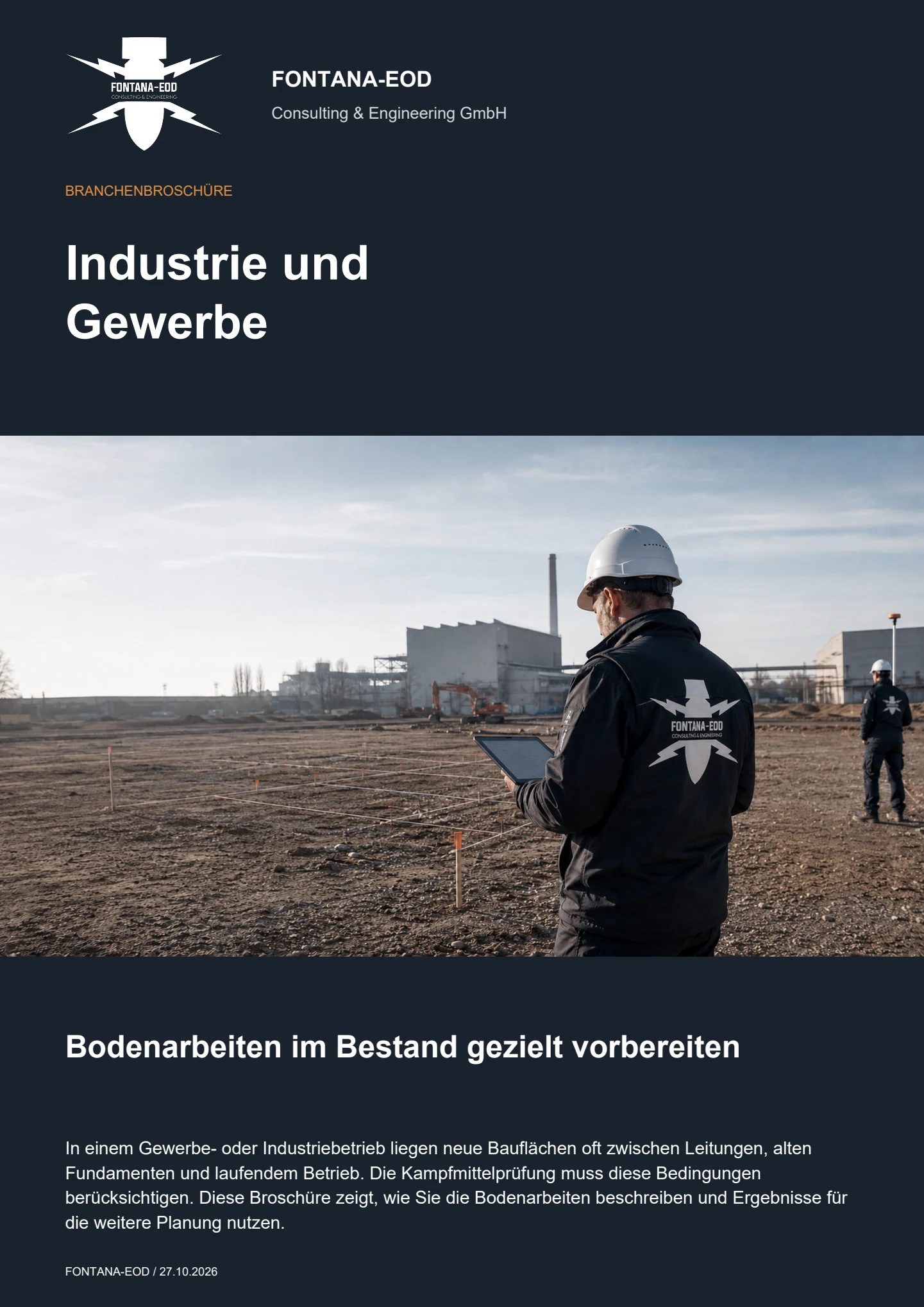
A survey is useful as soon as new plots, buildings, utility trenches, roads, chambers, retention areas, drilling points or extensions affect areas that have not yet been reliably assessed. The suspected hazard, depth of intervention, existing utilities, interfering objects and purpose of the documentation are decisive.
Useful documents include a site plan, plot plan, construction site boundaries, utility plans, construction sections, planned depths, construction times, suspected hazard documents, existing reports, aerial photograph assessments and information on ongoing operations or occupier areas. Authority information and conditions should be supplied with their dates, complete attachments and geographical scope.
Depending on the subarea, historical aerial photograph assessment, surface survey, ground-penetrating radar, magnetometry, TDEM, deep-ground survey, borehole survey, ordnance specialist supervision of excavation or explosive ordnance recovery may be relevant. Selection depends on the surface, interference environment, depth, access and construction phase.
Existing utilities, access roads, storage areas, safety areas and operational windows are included in investigation planning. Park management, occupiers and site management coordinate available areas, closure times and contacts before the investigation.
Several construction sections should be described separately so that investigation areas, results and subsequent decisions are not mixed. Each plot, axis or construction phase may need its own documentation reference.
If an unexpected suspicious object is found, stop work in the affected area immediately. Do not touch, move or uncover the object further. Leave the immediate area and keep others away without putting yourself at risk. In Germany, notify the police immediately on 110; outside Germany, use the local emergency reporting procedure. The competent authorities determine what happens next. Inform site management and the client; internal reporting must not delay the emergency call. FONTANA-EOD supports project-specific specialist assessment, surveys, documentation and communication between parties within the commissioned scope.
Decisive factors include site size, number of subareas, access, sealed surfaces, interfering objects, existing utilities, depth of intervention, construction phase, available documents, required methods and extent of documentation. A reliable estimate follows review of the project data.
For the respective construction section, the plan version, investigated areas and depths, methods, results and survey limitations are stated. The documents identify unresolved plots and connection areas. Park management, occupiers and subsequent trades check this information against their planned interventions.
The more clearly the area, intervention, existing conditions and purpose of the documentation are described, the better the explosive ordnance survey can be incorporated into the project sequence.
Address, land parcels, site plan, subareas, construction site boundaries, plots, demolition areas and adjoining uses.
Excavation, drilling, foundations, utility installation, retaining structures, chamber, retention facility, excavation pit and planned design depths.
Utilities, existing structures, foundations, reinforcement, scrap metal, sealed surfaces, demolition condition, fill and access.
Aerial photograph assessment, historical reports, ground investigation data, conditions, construction phase, time windows and intended purpose of the documentation.
Send existing site plans, plot plans, utility plans, construction sections, planned depths, suspected hazard documents and time windows as completely as possible. Incomplete documents can also be assessed if the location, intervention and next project step are identifiable.
+49 (0) 6843 - 999 499 7
info@fontana-eod.de
Site plan, depth, construction phase, suspicion indicators
Site management, designers, HSE or project management
Whether historical aerial photograph analysis, explosive ordnance surveying, surface surveying using GPR, magnetometry or TDEM, deep-ground surveys, downhole surveys, excavation supervision, area clearance or ordnance recovery is needed depends on the location, ground disturbance, depth, ground and existing documents. An early ordnance assessment provides clarity for tendering, programming, occupational safety and construction.
FONTANA-EOD combines its Section 7 SprengG licence, specialists holding Section 20 SprengG certificates of competence, suitable survey and clearance methods, and traceable documentation. Send the site plan, depth of ground disturbance, construction phase and existing documents for an initial technical assessment.


